West Allotment
Settlement in Northumberland
England
West Allotment
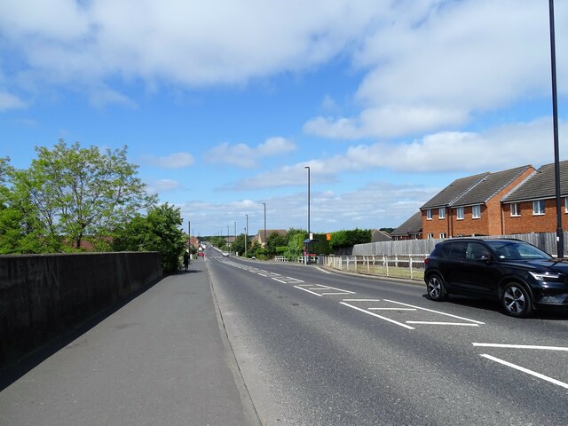
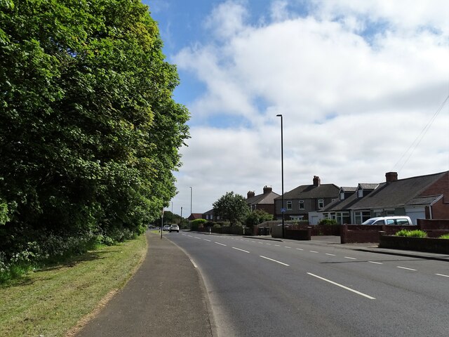
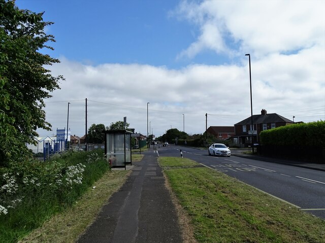
West Allotment is a small, suburban village located in Northumberland, England. Situated approximately 5 miles north of the city of Newcastle upon Tyne, it falls within the borough of North Tyneside. The village is primarily residential, offering a quiet and peaceful environment for its residents.
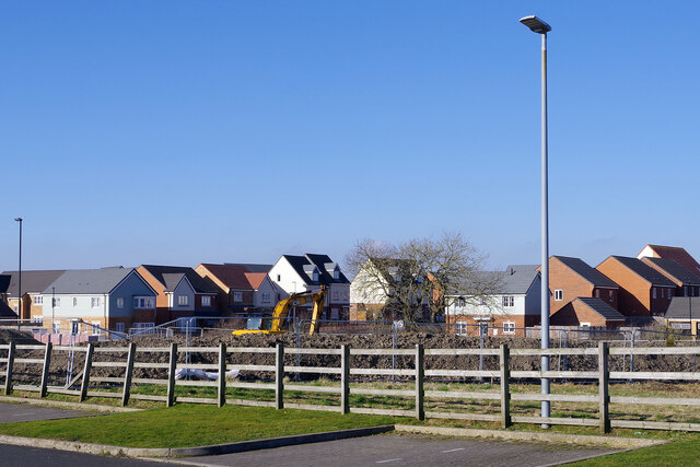
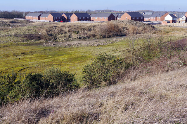
Originally a coal mining community, West Allotment has a rich industrial history, with the coal mines having operated in the area for over a century. However, with the decline of the coal industry, the village has undergone significant changes and now serves as a commuter suburb for nearby urban areas.
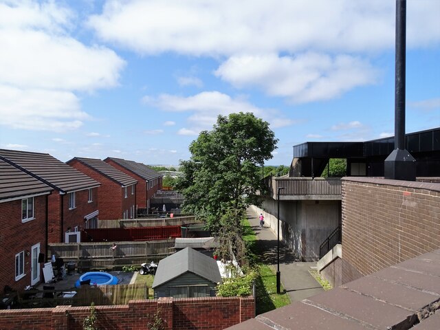
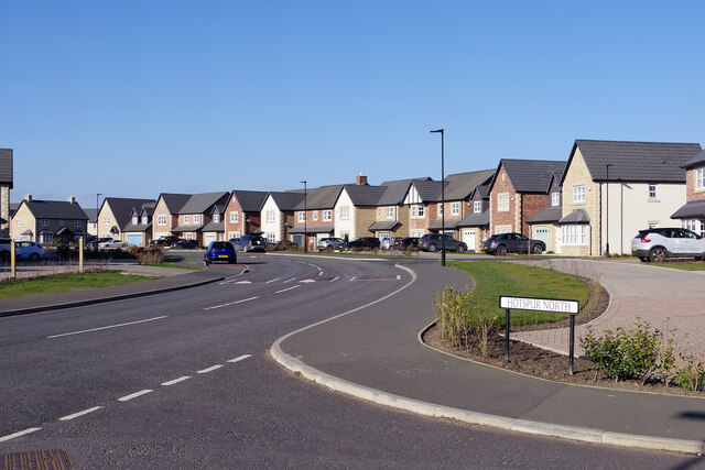
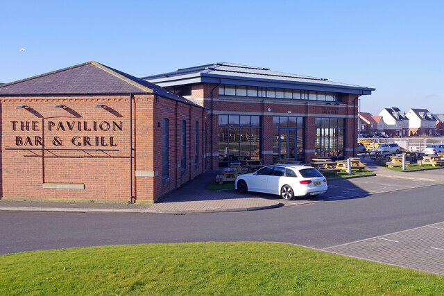
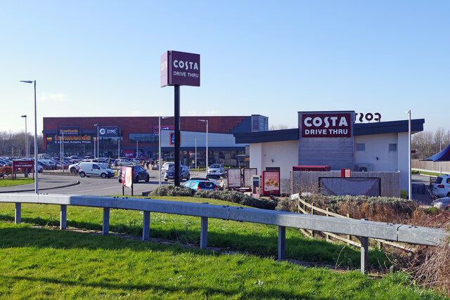
Housing in West Allotment consists mainly of modestly-sized, semi-detached homes and terraced houses, providing accommodation for families and individuals alike. The village benefits from a range of local amenities, including shops, schools, and recreational facilities, making it an attractive place to live for those seeking a balance between rural tranquility and urban convenience.
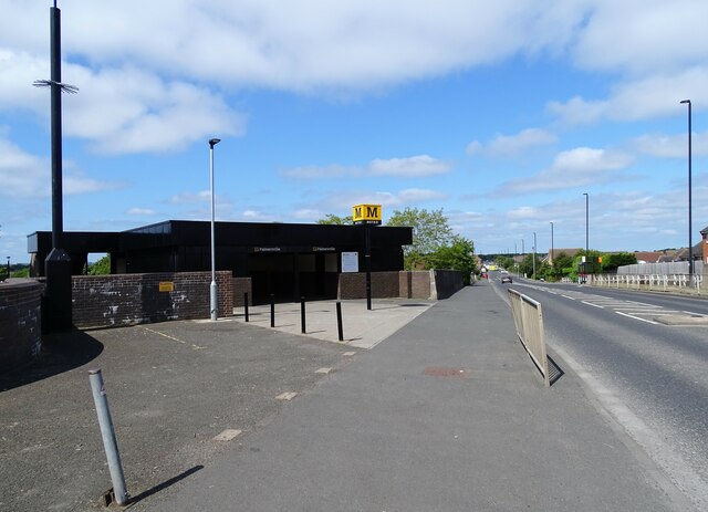
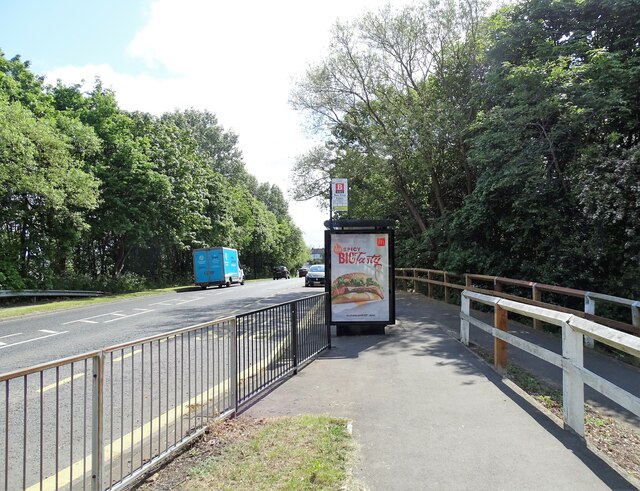
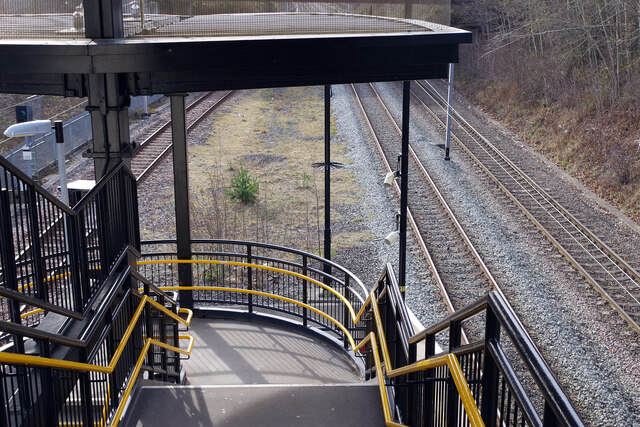
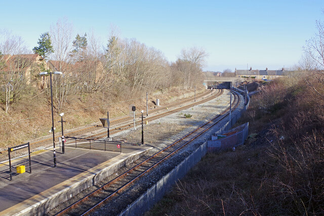
Nature enthusiasts can explore the nearby Rising Sun Country Park, a 400-acre green space that offers walking trails, wildlife habitats, and a visitor center. Additionally, West Allotment is well-connected to the surrounding areas via road and public transport, allowing residents to easily access the wider range of amenities and attractions available in Newcastle and beyond.
In summary, West Allotment is a quiet village with a rich history and a strong sense of community. Its proximity to Newcastle, combined with its peaceful residential atmosphere and local amenities, make it an appealing place to call home for those seeking a suburban lifestyle.
If you have any feedback on the listing, please let us know in the comments section below.
West Allotment Images
Images are sourced within 2km of 55.027203/-1.518937 or Grid Reference NZ3070. Thanks to Geograph Open Source API. All images are credited.
West Allotment is located at Grid Ref: NZ3070 (Lat: 55.027203, Lng: -1.518937)
Unitary Authority: North Tyneside
Police Authority: Northumbria
What 3 Words
///equipping.snug.trap. Near Shiremoor, Tyne & Wear
Nearby Locations
Related Wikis

West Allotment
West Allotment is a village in the Metropolitan Borough of North Tyneside. Prior to 1974 it was part of Northumberland. It is located approximately 4 miles...

Northumberland Park, Tyne and Wear
Northumberland Park is a place in the Metropolitan Borough of North Tyneside. Although built as an individual settlement along the A19 corridor, it is...

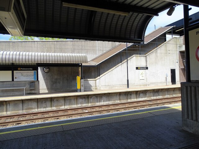
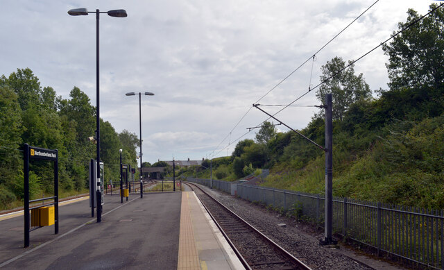
Northumberland Park Metro station
Northumberland Park is a Tyne and Wear Metro and future National Rail station, serving the village of Backworth and suburbs of Northumberland Park and...
Holystone, Tyne and Wear
Holystone is a village in North Tyneside, Tyne and Wear, England. It is situated to the southwest of Whitley Bay, just off the A19. There is one school...
Prospect Hill railway station
Prospect Hill railway station served the town of Shiremoor, Tyne and Wear, England from 1847 to 1864 on the Blyth and Tyne Railway. == History == The station...
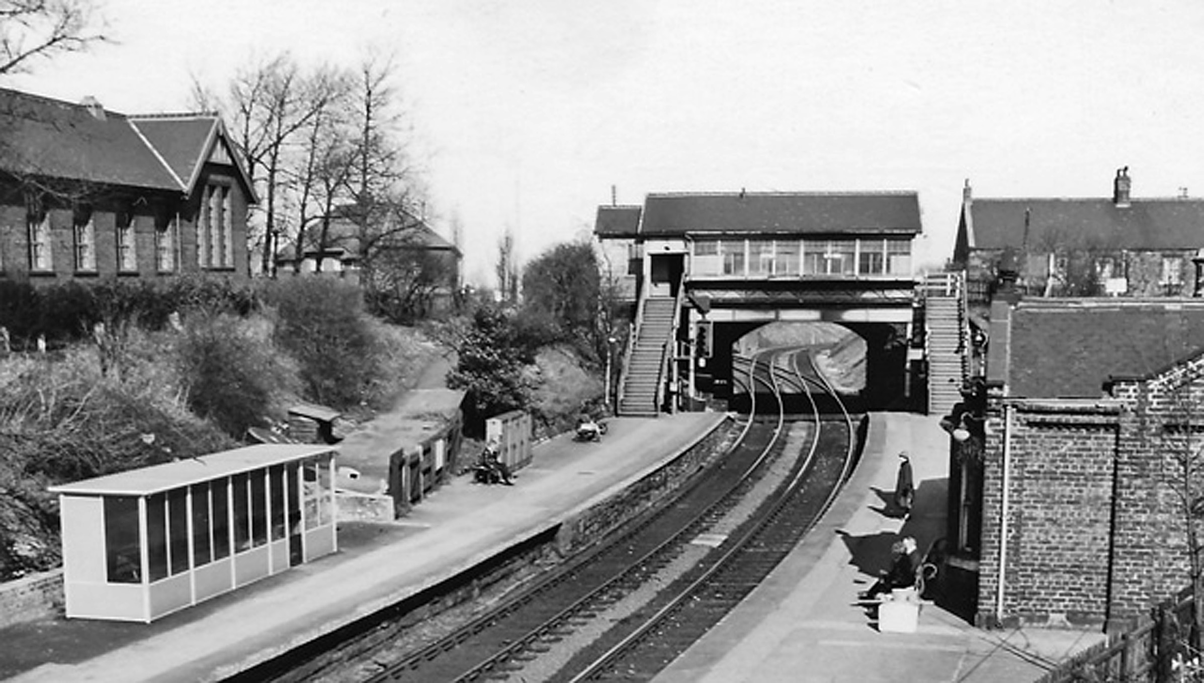
Backworth railway station
Backworth railway station served part of Newcastle in the English county of Northumberland, later part of Tyne and Wear. The station opened as Hotspur...
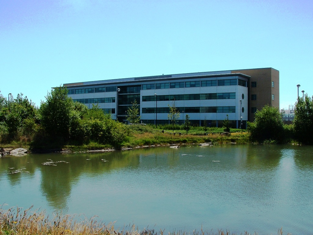
Cobalt Park
Cobalt Park is a business park located in North Tyneside, England. It is one of the largest business parks in the United Kingdom. == History == Initially...

Shiremoor
Shiremoor is a village in Tyne and Wear, Northern England. It is in the Metropolitan Borough of North Tyneside and formerly governed under Northumberland...
Nearby Amenities
Located within 500m of 55.027203,-1.518937Have you been to West Allotment?
Leave your review of West Allotment below (or comments, questions and feedback).