Aiket Hill

Hill, Mountain in Kirkcudbrightshire

Scotland

Aiket Hill

Terraced cottages, Dalbeattie On the west side of John Street
Terraced cottages, Dalbeattie Credit: Eirian Evans

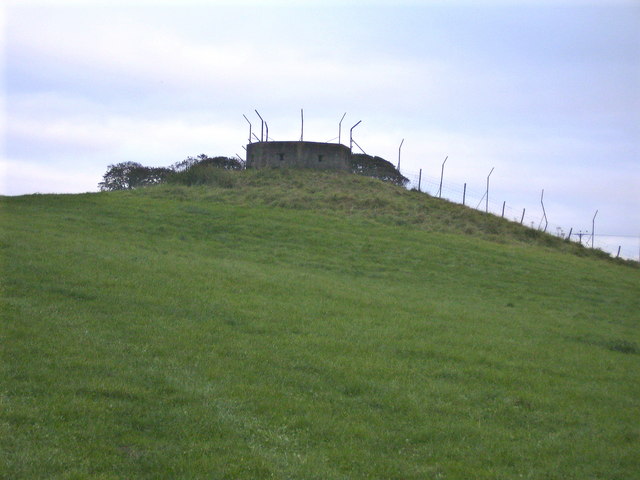
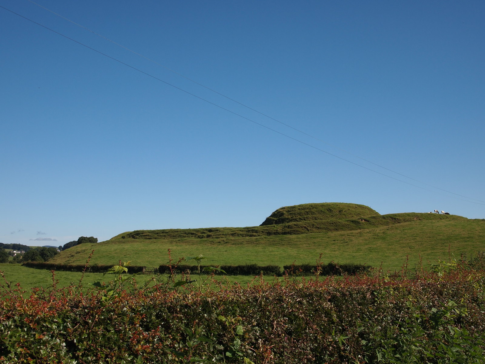
Aiket Hill is a prominent landmark located in Kirkcudbrightshire, a historical county in the southwest region of Scotland. Rising to an elevation of 189 meters (620 feet), it is classified as a hill rather than a mountain. It is situated near the small village of Gatehouse of Fleet, which lies about 8 kilometers (5 miles) to the northeast.

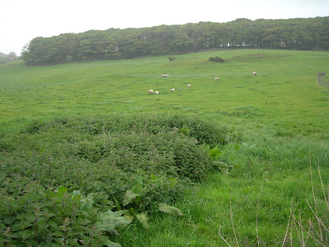
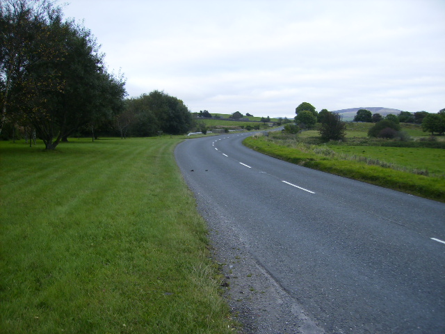
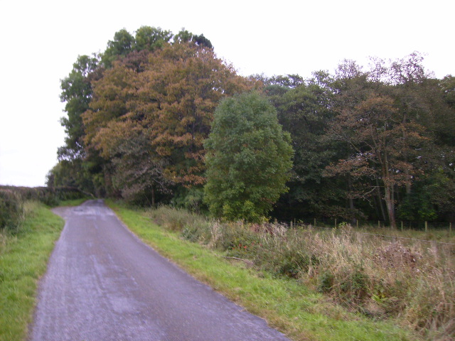
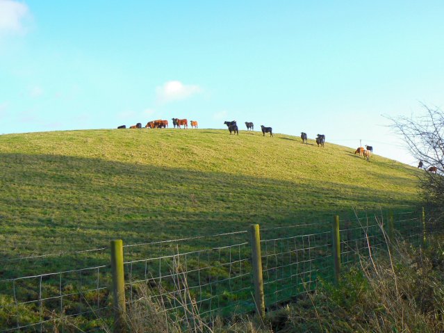
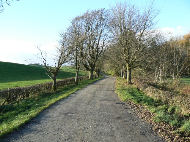
The hill offers picturesque views of the surrounding countryside, with its slopes covered in lush green vegetation, including grasses, heather, and scattered trees. It is a popular spot for hikers and nature enthusiasts, who enjoy exploring the network of trails that wind their way up to the summit. The paths are well-maintained and relatively easy to navigate, making Aiket Hill accessible to people of various fitness levels.

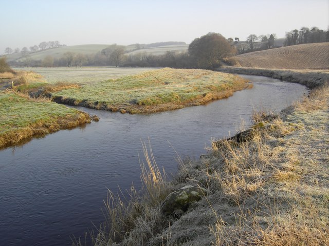
At the top of Aiket Hill, visitors are rewarded with breathtaking panoramic views of the local area. On a clear day, one can see the rolling hills of Kirkcudbrightshire, the sparkling waters of the Solway Firth, and even glimpses of the distant Galloway Hills to the north. The hill provides a tranquil and peaceful setting, offering visitors a chance to escape the hustle and bustle of everyday life.

Overall, Aiket Hill is a beautiful natural landmark in Kirkcudbrightshire, with its gentle slopes, diverse flora, and stunning vistas. Whether for a leisurely hike or a moment of quiet contemplation, it is a place that captivates visitors with its natural beauty and charm.

If you have any feedback on the listing, please let us know in the comments section below.
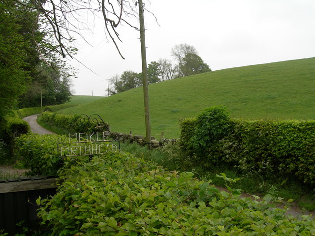
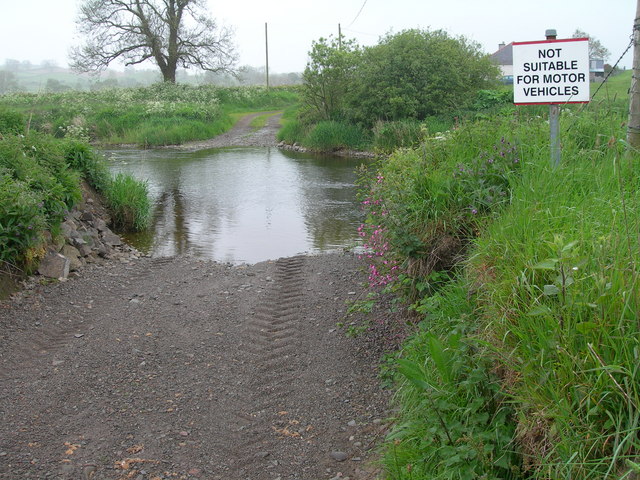
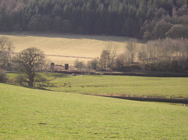
Aiket Hill Images

Images are sourced within 2km of 54.953386/-3.8221174 or Grid Reference NX8363. Thanks to Geograph Open Source API. All images are credited.

Terraced cottages, Dalbeattie On the west side of John Street
Terraced cottages, Dalbeattie
On the west side of John Street
Edingham Moss WWII cordite works One of several disused cordite drying buildings on the extensive World War II depot site north west of Dalbeatie. Opened in 1939 it finally closed in 1960. The site is dangerous and must not be visited without the owners permission. More information here <span class="nowrap"><a title="http://www.dalbeattie.com/ministryofsupplyfactorydalbeattie/index.html" rel="nofollow ugc noopener" href="http://www.dalbeattie.com/ministryofsupplyfactorydalbeattie/index.html">Link</a><img style="margin-left:2px;" alt="External link" title="External link - shift click to open in new window" src="https://s1.geograph.org.uk/img/external.png" width="10" height="10"/></span>
Edingham Moss WWII cordite works
One of several disused cordite drying buildings on the extensive World War II depot site north west of Dalbeatie. Opened in 1939 it finally closed in 1960. The site is dangerous and must not be visited without the owners permission. More information here LinkExternal link
Edingham Moss WWII cordite works Railway loading bays, part of extensive World War II depot site north west of Dalbeattie. Opened in 1939 it finally closed in 1960. This site is dangerous and must not be visited without the owners permission. More information here <span class="nowrap"><a title="http://www.dalbeattie.com/ministryofsupplyfactorydalbeattie/index.html" rel="nofollow ugc noopener" href="http://www.dalbeattie.com/ministryofsupplyfactorydalbeattie/index.html">Link</a><img style="margin-left:2px;" alt="External link" title="External link - shift click to open in new window" src="https://s1.geograph.org.uk/img/external.png" width="10" height="10"/></span>
Edingham Moss WWII cordite works
Railway loading bays, part of extensive World War II depot site north west of Dalbeattie. Opened in 1939 it finally closed in 1960. This site is dangerous and must not be visited without the owners permission. More information here LinkExternal link
Edingham Moss WWII cordite works Looking from the trackbed of the disused "Port Road" Dumfries to Stranraer railway line across to a railway bridge inside the extensive World War II depot site. Opened in 1939 it finally closed in 1960. This site is dangerous and must not be visited without the owners permission. More information here <span class="nowrap"><a title="http://www.dalbeattie.com/ministryofsupplyfactorydalbeattie/index.html" rel="nofollow ugc noopener" href="http://www.dalbeattie.com/ministryofsupplyfactorydalbeattie/index.html">Link</a><img style="margin-left:2px;" alt="External link" title="External link - shift click to open in new window" src="https://s1.geograph.org.uk/img/external.png" width="10" height="10"/></span>
Edingham Moss WWII cordite works
Looking from the trackbed of the disused "Port Road" Dumfries to Stranraer railway line across to a railway bridge inside the extensive World War II depot site. Opened in 1939 it finally closed in 1960. This site is dangerous and must not be visited without the owners permission. More information here LinkExternal link
Farmland north of Dalbeattie
Roadway to Meikle Firthhead & edge of Dalmoney Hill
Ford over Urr Water, south west of Netheryett
Railway bridge (remaining buttresses)  across the Urr This is part of the old Dalbeattie - Castle Douglas line opened in 1859 and closed under Beeching in the 1960s
Railway bridge (remaining buttresses) across the Urr
This is part of the old Dalbeattie - Castle Douglas line opened in 1859 and closed under Beeching in the 1960s
The A711 road north of Dalbeattie
Edingham Loch is completely shielded by this woodland
Pillbox - built to protect the WWII cordite factory here <span class="nowrap"><a title="http://www.dalbeattie.com/ministryofsupplyfactorydalbeattie/index.html" rel="nofollow ugc noopener" href="http://www.dalbeattie.com/ministryofsupplyfactorydalbeattie/index.html">Link</a><img style="margin-left:2px;" alt="External link" title="External link - shift click to open in new window" src="https://s1.geograph.org.uk/img/external.png" width="10" height="10"/></span>
Pillbox - built to protect the WWII cordite factory here
Hill of cows Small hill north of Edingham Loch.
Hill of cows
Small hill north of Edingham Loch.
Heading for Torkatrine A dead-end road leading to a farm and standing stone.
Heading for Torkatrine
A dead-end road leading to a farm and standing stone.
Edingham Industrial Estate Engineering company E-Teq's factory on Edingham Industrial Estate.
Edingham Industrial Estate
Engineering company E-Teq's factory on Edingham Industrial Estate.
The Well An old well on the Dalbeattie to Haugh of Urr road.
The Well
An old well on the Dalbeattie to Haugh of Urr road.
The Bridge A bridge over the Urr Water leading to East Logan Farm.
The Bridge
A bridge over the Urr Water leading to East Logan Farm.
The Urr Water The Urr Water near Dalbeattie.
The Urr Water
The Urr Water near Dalbeattie.
Sign of the Times Behind the ivy, signs and nesting box, lurks a tree.
Sign of the Times
Behind the ivy, signs and nesting box, lurks a tree.
Show me another place!

Aiket Hill is located at Grid Ref: NX8363 (Lat: 54.953386, Lng: -3.8221174)

Unitary Authority: Dumfries and Galloway

Police Authority: Dumfries and Galloway

What 3 Words

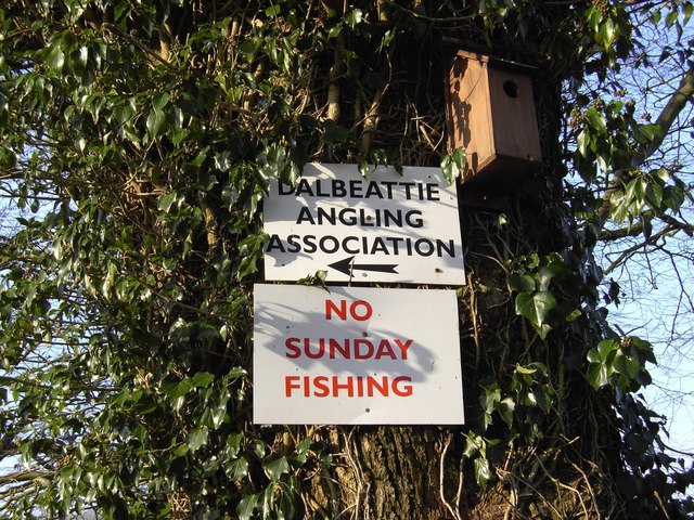
///crunching.swim.tightest. Near Dalbeattie, Dumfries & Galloway

Nearby Locations

Edingham Loch Aiket Hill

Related Wikis

Dalbeattie railway station

Dalbeattie railway station served the town of Dalbeattie, Dumfries and Galloway, Scotland from 1859 to 1965 on the Castle Douglas and Dumfries Railway...

Dalbeattie Star F.C.

Dalbeattie Star Football Club is a Scottish association football club based in Dalbeattie, Dumfries and Galloway. It currently competes in the South of...

Motte of Urr

The Motte of Urr is the remains of a 12th-century motte-and-bailey castle located near the Haugh of Urr in Dumfries and Galloway, Scotland. == History... ==

Southwick railway station (Scotland)

Southwick (Dumfries & Galloway) railway station served the civil parish of Colvend and Southwick, Dumfries and Galloway, Scotland from 1859 to 1965 on...

Dalbeattie Town Hall

Dalbeattie Town Hall is a municipal building in the High Street in Dalbeattie, Dumfries and Galloway, Scotland. The structure, which is used as community...

Dalbeattie High School

Dalbeattie High School is a small rural secondary school on the edge of Dalbeattie in the historical county of Kirkcudbrightshire in the local council...

Buittle railway station

Buittle railway station, also known as Buittle Halt, Buittle Mill and Buittle Mill Halt, served the civil parish of Buittle, Dumfries and Galloway, Scotland...

Dalbeattie

Dalbeattie (, Scots: Dawbeattie, Scottish Gaelic: Dail Bheithe meaning 'haugh of the birch' or Dail bhàite 'drowned (i.e. liable to flood) haugh') is a...

Nearby Amenities

Located within 500m of 54.953386,-3.8221174
Power: pole
Lat/Long: 54.9497204/-3.8180596
Power: pole
Lat/Long: 54.9499523/-3.819221
Power: pole
Lat/Long: 54.9502064/-3.8205406
Power: pole
Lat/Long: 54.950459/-3.821879
Power: pole
Lat/Long: 54.9506685/-3.8229358
Power: pole
Lat/Long: 54.9508641/-3.8239363
Power: pole
Lat/Long: 54.9508041/-3.8249475
Power: pole
Lat/Long: 54.9507425/-3.8262644
Power: pole
Lat/Long: 54.9506839/-3.8273615
Power: pole
Lat/Long: 54.9546382/-3.8158612
Power: pole
Lat/Long: 54.9543264/-3.8164149
Power: pole
Lat/Long: 54.9537952/-3.8173504
Power: pole
Lat/Long: 54.9531679/-3.8184578
Power: pole
Lat/Long: 54.9526988/-3.8192937
Power: pole
Lat/Long: 54.9522201/-3.8201295
Power: pole
Lat/Long: 54.9518826/-3.8207257
Power: pole
Lat/Long: 54.9510018/-3.820766
Power: pole
Lat/Long: 54.9504426/-3.8207957
Power: pole
Lat/Long: 54.9496007/-3.820836
Power: pole
Lat/Long: 54.9495203/-3.8236978
Power: pole
Lat/Long: 54.9502623/-3.8242218
Power: pole
Lat/Long: 54.9509518/-3.8245379
Power: pole
Lat/Long: 54.9517072/-3.8248985
Power: pole
Lat/Long: 54.9524284/-3.8252274
Power: pole
Lat/Long: 54.9529145/-3.8260059
Power: pole
Lat/Long: 54.9534042/-3.8267824
Power: pole
Lat/Long: 54.9538976/-3.8275758
Power: pole
Lat/Long: 54.9544153/-3.8283247
Power: pole
Lat/Long: 54.9549221/-3.8290969
The data included in this document is from www.openstreetmap.org. The data is made available under ODbL.

Have you been to Aiket Hill?

Leave your review of Aiket Hill below (or comments, questions and feedback).