Edingham Loch
Lake, Pool, Pond, Freshwater Marsh in Kirkcudbrightshire
Scotland
Edingham Loch

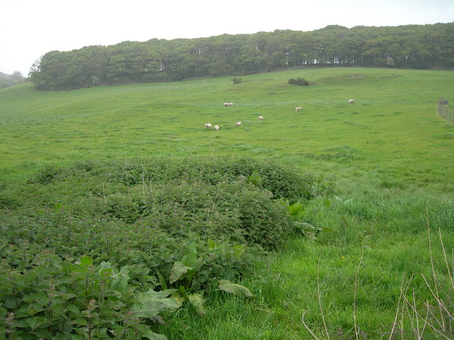
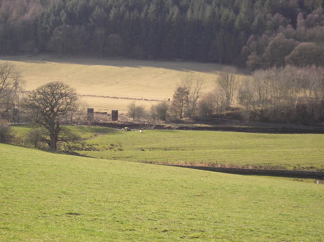
Edingham Loch is a picturesque freshwater lake located in Kirkcudbrightshire, Scotland. With an area of approximately 10 acres, it is a relatively small body of water nestled amidst the rolling hills and lush greenery of the region. The loch is known for its tranquil and serene atmosphere, attracting nature enthusiasts and outdoor lovers.
Surrounded by a diverse range of flora and fauna, the loch serves as an important habitat for various species of birds, insects, and plants. The surrounding area is a haven for birdwatchers, with sightings of common species such as ducks, geese, and swans, as well as more elusive species like herons and kingfishers. The dense vegetation surrounding the loch provides ample shelter and food for these creatures.
The loch itself is a popular spot for fishing, with anglers drawn to its calm waters in search of trout and pike. The clear and clean water is ideal for fishing, offering a peaceful and relaxing experience for those seeking to cast their lines.
In addition to its natural beauty, Edingham Loch is also a popular destination for outdoor activities such as walking and picnicking. The tranquil surroundings and breathtaking views make it a perfect spot for a leisurely stroll or a family outing.
Overall, Edingham Loch is a hidden gem in Kirkcudbrightshire, offering a peaceful retreat for nature lovers and outdoor enthusiasts. Its diverse ecosystem and tranquil atmosphere make it a must-visit destination for those seeking a connection with nature.
If you have any feedback on the listing, please let us know in the comments section below.
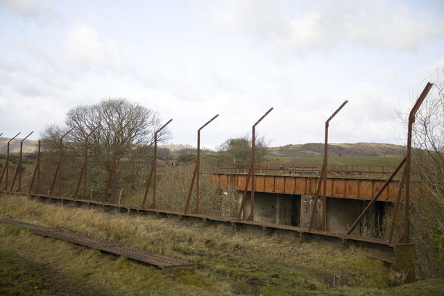
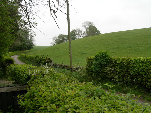
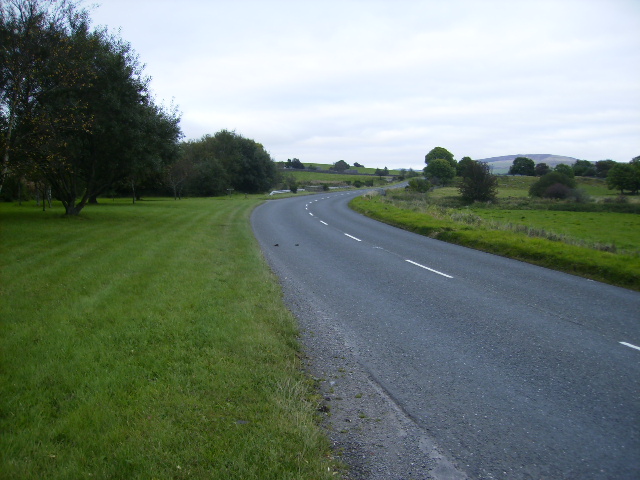
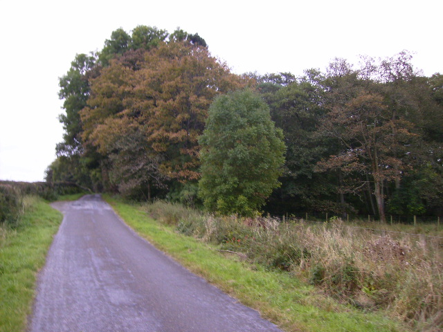
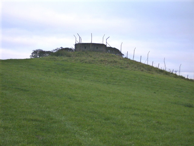
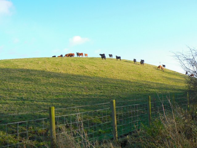
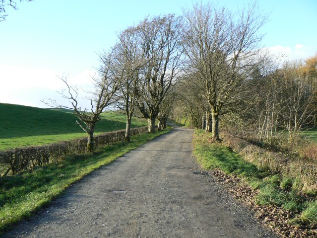
Edingham Loch Images
Images are sourced within 2km of 54.950993/-3.8162469 or Grid Reference NX8363. Thanks to Geograph Open Source API. All images are credited.


Edingham Loch is located at Grid Ref: NX8363 (Lat: 54.950993, Lng: -3.8162469)
Unitary Authority: Dumfries and Galloway
Police Authority: Dumfries and Galloway
What 3 Words
///jabs.bumps.parked. Near Dalbeattie, Dumfries & Galloway
Nearby Locations
Related Wikis

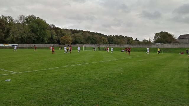
Dalbeattie Star F.C.
Dalbeattie Star Football Club is a Scottish association football club based in Dalbeattie, Dumfries and Galloway. It currently competes in the South of...

Southwick railway station (Scotland)
Southwick (Dumfries & Galloway) railway station served the civil parish of Colvend and Southwick, Dumfries and Galloway, Scotland from 1859 to 1965 on...

Dalbeattie railway station
Dalbeattie railway station served the town of Dalbeattie, Dumfries and Galloway, Scotland from 1859 to 1965 on the Castle Douglas and Dumfries Railway...

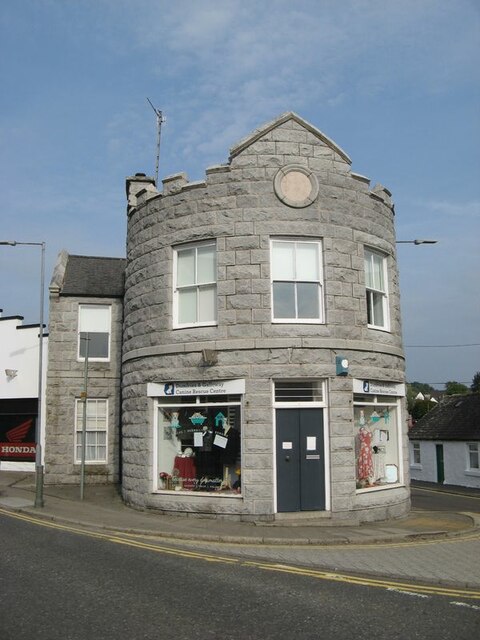
Dalbeattie Town Hall
Dalbeattie Town Hall is a municipal building in the High Street in Dalbeattie, Dumfries and Galloway, Scotland. The structure, which is used as community...
Dalbeattie
Dalbeattie (, Scots: Dawbeattie, Scottish Gaelic: Dail Bheithe meaning 'haugh of the birch' or Dail bhàite 'drowned (i.e. liable to flood) haugh') is a...
Dalbeattie High School
Dalbeattie High School is a small rural secondary school on the edge of Dalbeattie in the historical county of Kirkcudbrightshire in the local council...

Buittle Castle
Buittle Castle, also known historically as Botle or Botel Castle, is a Motte and Bailey site in Galloway, south-west Scotland with significant early and...
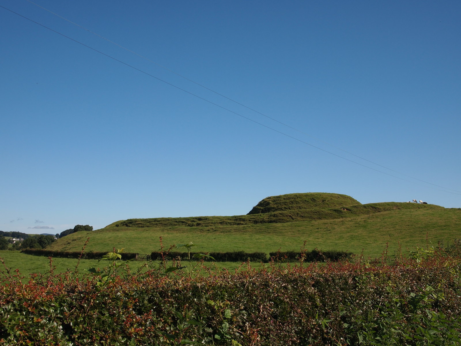
Motte of Urr
The Motte of Urr is the remains of a 12th-century motte-and-bailey castle located near the Haugh of Urr in Dumfries and Galloway, Scotland. == History... ==
Nearby Amenities
Located within 500m of 54.950993,-3.8162469Have you been to Edingham Loch?
Leave your review of Edingham Loch below (or comments, questions and feedback).