Bar Hill
Hill, Mountain in Kirkcudbrightshire
Scotland
Bar Hill
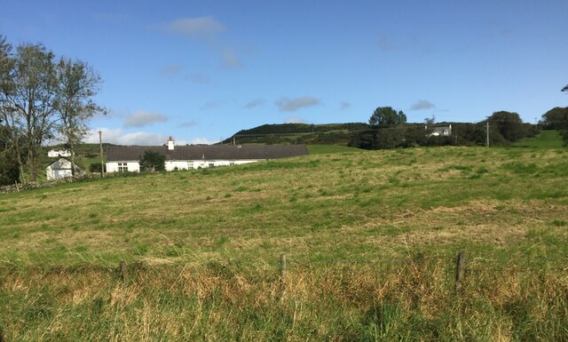
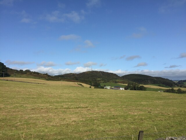
Bar Hill, located in Kirkcudbrightshire, Scotland, is a prominent hill that rises to a height of approximately 355 meters (1,165 feet). It sits within the expansive Galloway Forest Park, a designated Dark Sky Park, which covers an area of around 777 square kilometers (300 square miles).
Offering breathtaking panoramic views of the surrounding countryside, Bar Hill is a popular destination for outdoor enthusiasts and nature lovers. The hill is characterized by its gentle slopes and a relatively easy ascent, making it accessible to hikers of various skill levels.
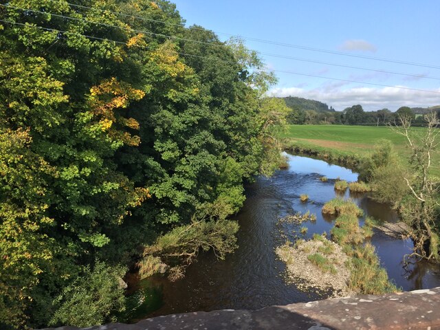
The summit of Bar Hill provides a commanding vantage point, offering unobstructed views of the rolling hills, lush forests, and meandering rivers that define the landscape of Kirkcudbrightshire. On clear days, visitors can even catch a glimpse of the Solway Firth and the distant mountains of the Lake District.
The hill is home to a diverse range of flora and fauna, with an abundance of heather, bracken, and bilberry covering its slopes. It supports a variety of bird species, including buzzards, kestrels, and peregrine falcons, which can often be observed soaring above the hill.
Bar Hill is also steeped in history, with evidence of ancient settlements and burial cairns dotting its surroundings. The area has been inhabited for thousands of years, and remnants of its past can still be seen today.
Overall, Bar Hill in Kirkcudbrightshire offers visitors the chance to immerse themselves in the natural beauty of the Scottish countryside, while also providing a glimpse into the region's rich history and heritage.
If you have any feedback on the listing, please let us know in the comments section below.
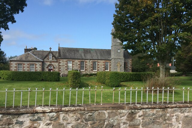
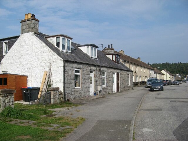
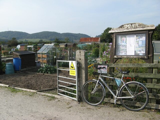
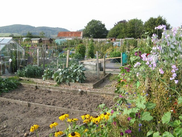
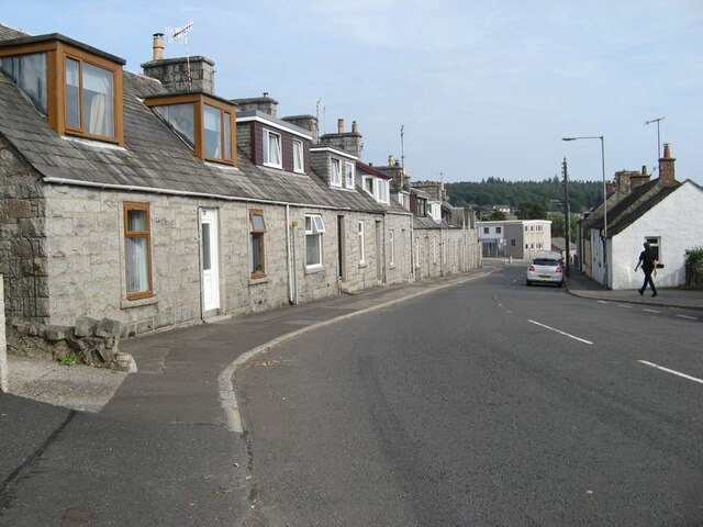
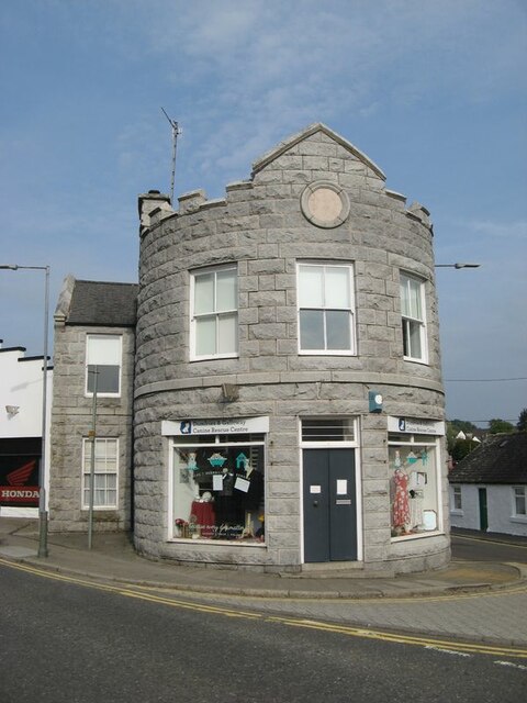
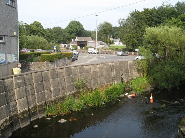
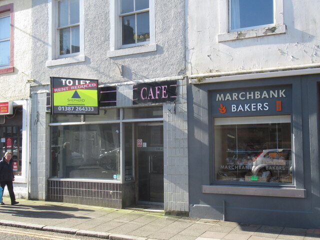
Bar Hill Images
Images are sourced within 2km of 54.925794/-3.8488827 or Grid Reference NX8160. Thanks to Geograph Open Source API. All images are credited.

Bar Hill is located at Grid Ref: NX8160 (Lat: 54.925794, Lng: -3.8488827)
Unitary Authority: Dumfries and Galloway
Police Authority: Dumfries and Galloway
What 3 Words
///returns.steered.endearing. Near Dalbeattie, Dumfries & Galloway
Nearby Locations
Related Wikis

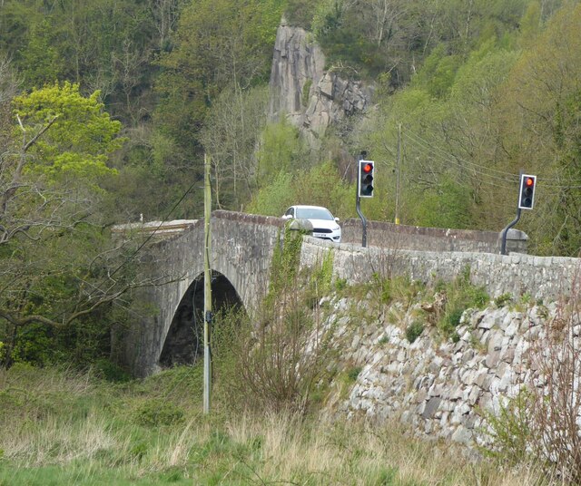
Buittle Bridge
Buittle Bridge, also known as Craignair Bridge is a bridge over the Urr Water just outside Dalbeattie in Dumfries and Galloway, Scotland. Completed in...

Buittle Castle
Buittle Castle, also known historically as Botle or Botel Castle, is a Motte and Bailey site in Galloway, south-west Scotland with significant early and...

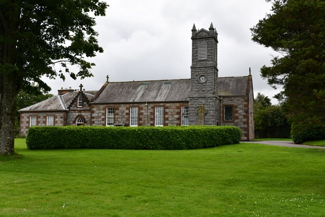
Dalbeattie High School
Dalbeattie High School is a small rural secondary school on the edge of Dalbeattie in the historical county of Kirkcudbrightshire in the local council...

Dalbeattie railway station
Dalbeattie railway station served the town of Dalbeattie, Dumfries and Galloway, Scotland from 1859 to 1965 on the Castle Douglas and Dumfries Railway...

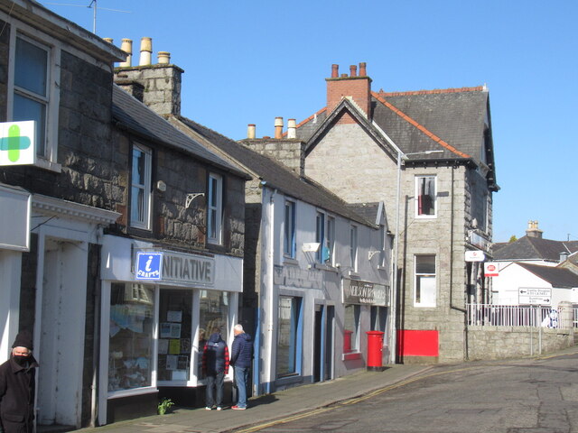
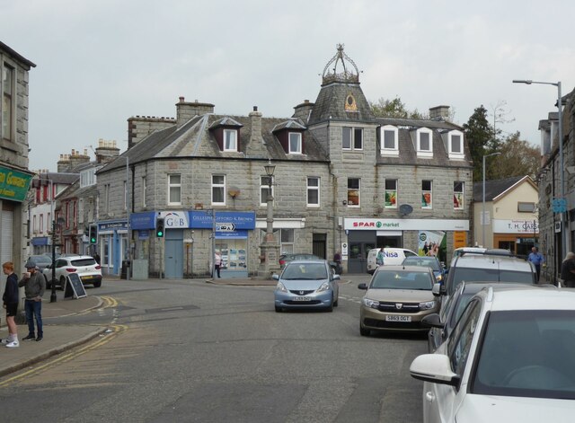
Dalbeattie
Dalbeattie (, Scots: Dawbeattie, Scottish Gaelic: Dail Bheithe meaning 'haugh of the birch' or Dail bhàite 'drowned (i.e. liable to flood) haugh') is a...
Dalbeattie Town Hall
Dalbeattie Town Hall is a municipal building in the High Street in Dalbeattie, Dumfries and Galloway, Scotland. The structure, which is used as community...

Buittle
Buittle is an ecclesiastical and civil parish in Dumfries and Galloway, southwest Scotland, in the traditional county of Kirkcudbrightshire. It lies to...
Dalbeattie Star F.C.
Dalbeattie Star Football Club is a Scottish association football club based in Dalbeattie, Dumfries and Galloway. It currently competes in the South of...
Nearby Amenities
Located within 500m of 54.925794,-3.8488827Have you been to Bar Hill?
Leave your review of Bar Hill below (or comments, questions and feedback).