Barhill Plantation
Wood, Forest in Kirkcudbrightshire
Scotland
Barhill Plantation
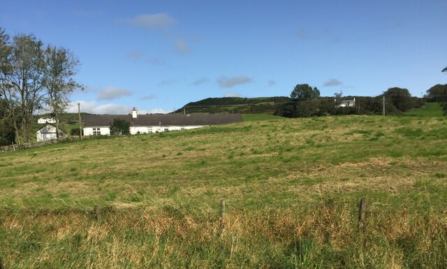
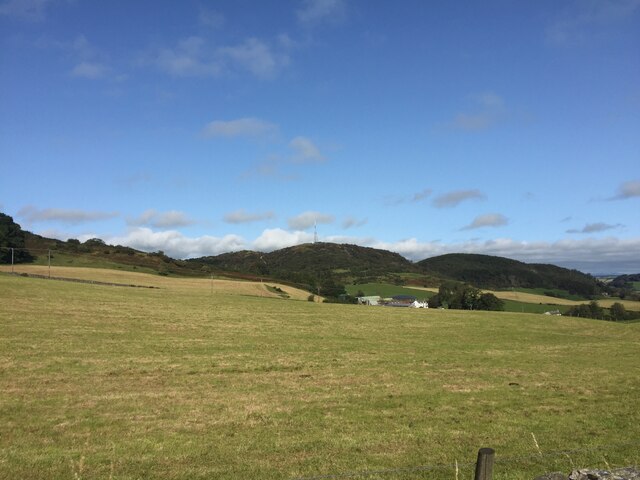
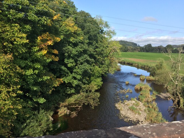
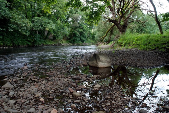
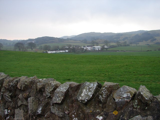
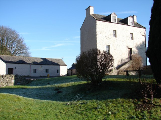
Barhill Plantation is a charming woodland area located in Kirkcudbrightshire, Scotland. Spread across a vast expanse, this plantation is renowned for its dense forests and breathtaking natural beauty. With an area of approximately [insert size], the plantation is home to a wide variety of trees, including oak, beech, and pine, creating a diverse and vibrant ecosystem.
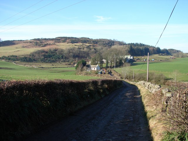
The woodland is crisscrossed by a network of well-maintained footpaths, allowing visitors to explore its wonders at their own pace. The paths meander through the trees, offering stunning views of the surrounding countryside. Nature enthusiasts will be delighted by the abundance of wildlife that calls Barhill Plantation home, including various species of birds, small mammals, and even occasional glimpses of deer.
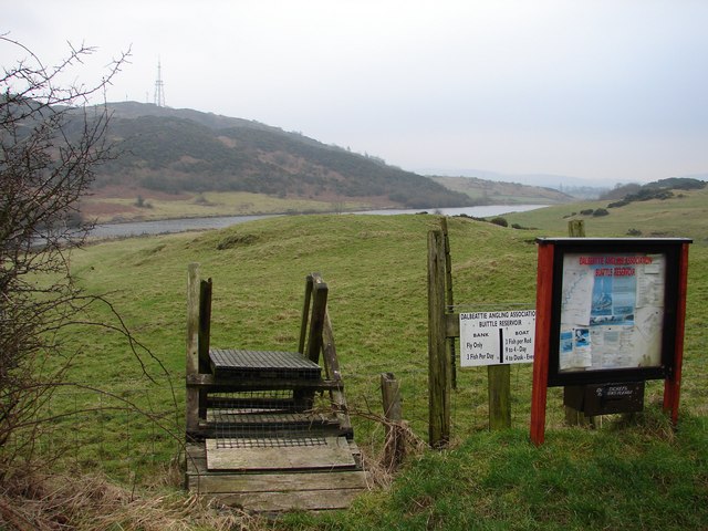
Barhill Plantation is not only a haven for wildlife but also a popular destination for outdoor activities. The plantation offers a range of recreational opportunities, such as walking, hiking, and mountain biking. These activities, combined with the tranquil setting, make it an ideal location for individuals seeking a peaceful escape from the hustle and bustle of everyday life.
Managed by the local forestry commission, Barhill Plantation demonstrates a commitment to sustainability and conservation. Efforts are made to preserve the natural habitat and protect the delicate balance of the forest ecosystem. Visitors can learn about the plantation's conservation efforts through informative displays and educational materials available on-site.
Overall, Barhill Plantation in Kirkcudbrightshire is a captivating woodland retreat that offers both tranquility and adventure. With its picturesque landscapes and abundant wildlife, it is a must-visit destination for nature lovers and outdoor enthusiasts alike.
If you have any feedback on the listing, please let us know in the comments section below.
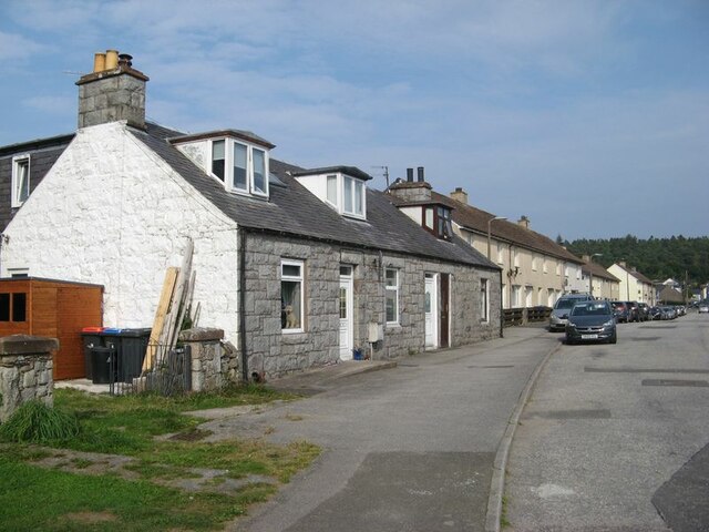
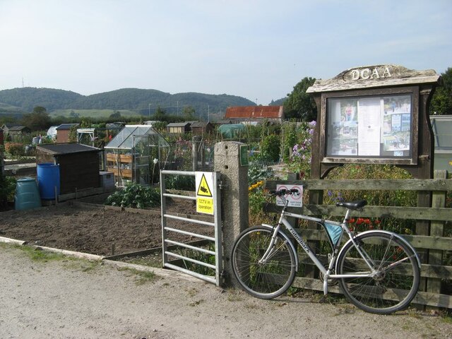
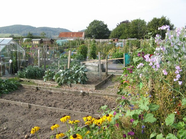
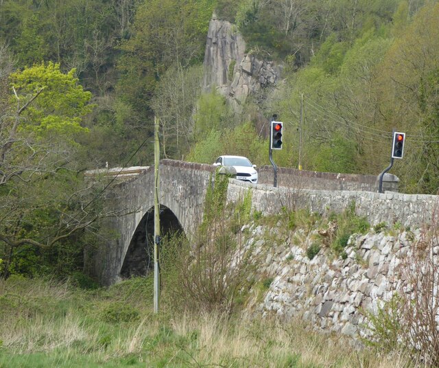
Barhill Plantation Images
Images are sourced within 2km of 54.921583/-3.851514 or Grid Reference NX8160. Thanks to Geograph Open Source API. All images are credited.

Barhill Plantation is located at Grid Ref: NX8160 (Lat: 54.921583, Lng: -3.851514)
Unitary Authority: Dumfries and Galloway
Police Authority: Dumfries and Galloway
What 3 Words
///count.cookies.everybody. Near Dalbeattie, Dumfries & Galloway
Nearby Locations
Related Wikis

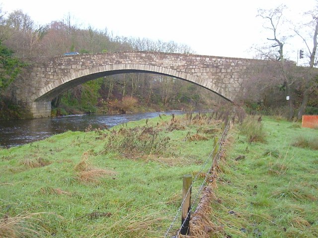
Buittle Bridge
Buittle Bridge, also known as Craignair Bridge is a bridge over the Urr Water just outside Dalbeattie in Dumfries and Galloway, Scotland. Completed in...

Buittle Castle
Buittle Castle, also known historically as Botle or Botel Castle, is a Motte and Bailey site in Galloway, south-west Scotland with significant early and...

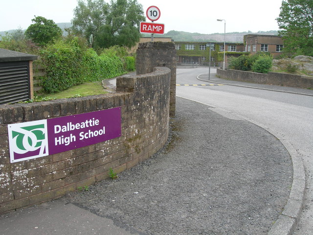
Dalbeattie High School
Dalbeattie High School is a small rural secondary school on the edge of Dalbeattie in the historical county of Kirkcudbrightshire in the local council...

Dalbeattie railway station
Dalbeattie railway station served the town of Dalbeattie, Dumfries and Galloway, Scotland from 1859 to 1965 on the Castle Douglas and Dumfries Railway...
Nearby Amenities
Located within 500m of 54.921583,-3.851514Have you been to Barhill Plantation?
Leave your review of Barhill Plantation below (or comments, questions and feedback).