Bryn Trapau
Hill, Mountain in Cardiganshire
Wales
Bryn Trapau

Bryn Trapau, located in Cardiganshire, Wales, is a prominent hill/mountain that offers breathtaking views and outdoor recreational opportunities. Rising to an elevation of approximately 1,312 feet (400 meters), it is a prominent feature in the region's landscape.
The hill/mountain is characterized by its lush greenery, rocky outcrops, and diverse flora and fauna. Its slopes are covered in a patchwork of heather, grasses, and wildflowers, creating a picturesque scene throughout the year. Visitors can spot a variety of bird species, including buzzards and kestrels, soaring above, while the hillside is home to smaller animals such as rabbits and foxes.
Bryn Trapau is a popular destination for hikers and nature enthusiasts due to its accessibility and stunning vistas. Several well-marked trails crisscross the hill/mountain, providing options for both casual walkers and experienced climbers. As visitors ascend, they are rewarded with panoramic views of the surrounding countryside, including the Cardigan Bay coastline and the rolling hills of Cardiganshire.
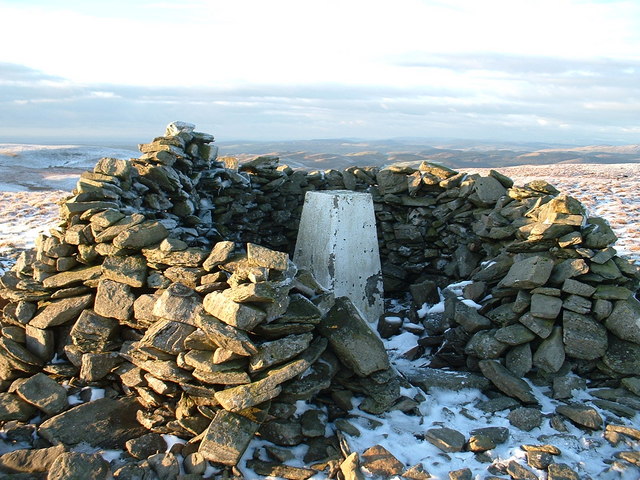
The hill/mountain also holds historical significance, with remnants of ancient settlements and stone structures scattered along its slopes. These archaeological sites offer glimpses into the area's past, providing a sense of the rich history that has unfolded on Bryn Trapau.
Overall, Bryn Trapau in Cardiganshire is a natural gem, attracting visitors with its scenic beauty, recreational opportunities, and historical intrigue. Whether one seeks a tranquil hike, a captivating view, or a deeper connection with the region's heritage, this hill/mountain promises an unforgettable experience.
If you have any feedback on the listing, please let us know in the comments section below.
Bryn Trapau Images
Images are sourced within 2km of 52.278034/-3.7367974 or Grid Reference SN8165. Thanks to Geograph Open Source API. All images are credited.


Bryn Trapau is located at Grid Ref: SN8165 (Lat: 52.278034, Lng: -3.7367974)
Unitary Authority: Ceredigion
Police Authority: Dyfed Powys
What 3 Words
///completed.wardrobe.inflict. Near Cwmystwyth, Ceredigion
Nearby Locations
Related Wikis
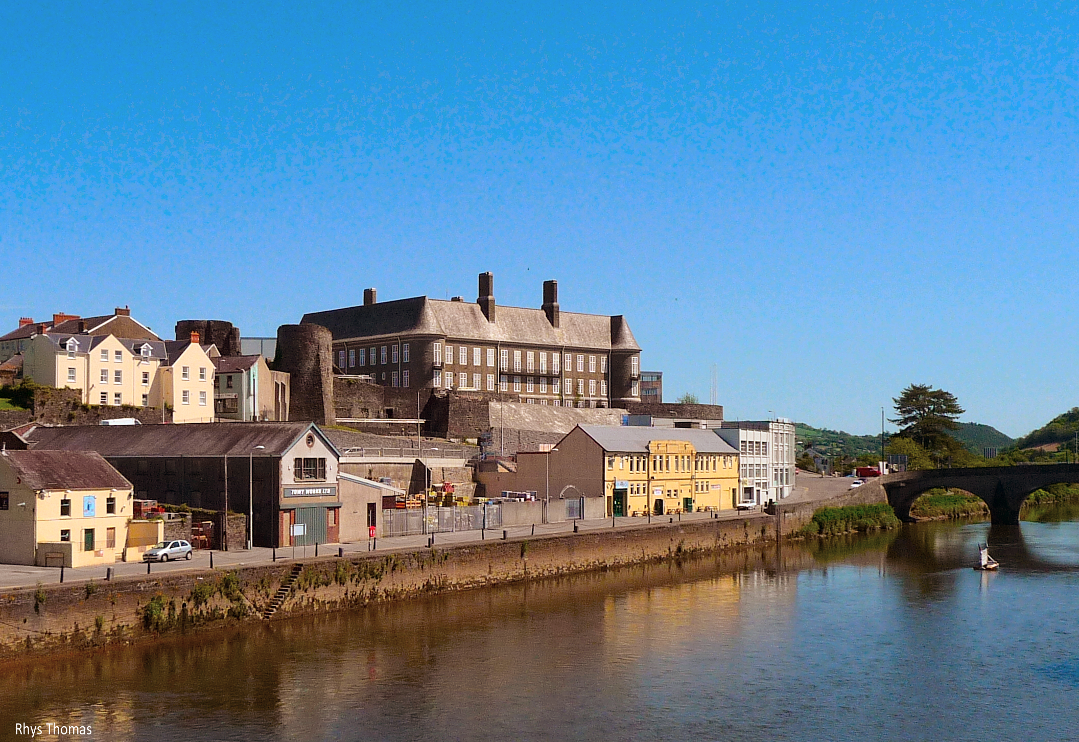
River Towy
The River Towy (Welsh: Afon Tywi, IPA: [ˈtəwɪ]) is one of the longest rivers flowing entirely within Wales. Its total length is 120 km (75 mi). It is noted...

Claerwen
The Claerwen reservoir and dam in Powys, Wales, were the last additions to the Elan Valley Reservoirs system built to provide water for the increasing...
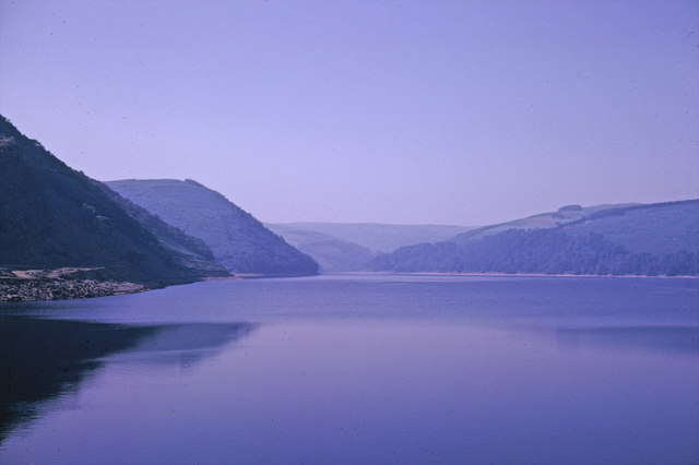
Elan Valley Reservoirs
The Elan Valley Reservoirs (Welsh: Cronfeydd Cwm Elan) are a chain of man-made lakes created from damming the Elan and Claerwen rivers within the Elan...
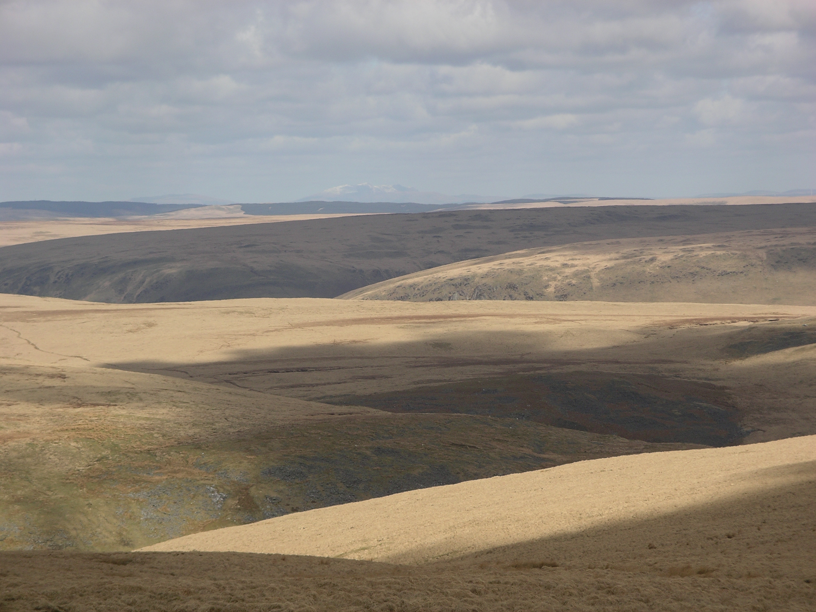
Desert of Wales
The Desert of Wales, or Green Desert of Wales, is an archaic term for an area in central Wales, so called for its lack of roads and towns, and its inaccessibility...
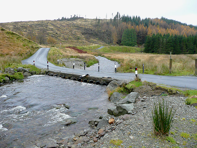
Afon Irfon
Afon Irfon (the River Irfon) is a river in Powys, Wales. It flows from the upper slopes of Bryn Garw in the Cambrian Mountains, through the Abergwesyn...
Llan Ddu Fawr
Llan Ddu Fawr or Waun Claerddu is a hill located in Ceredigion, Wales, at 594 metres (1,949 ft) above sea level. It is located about 10 miles south of...

Claerwen Fault
The Claerwen Fault is a major SW-NE trending fault in central Wales. It was active as a normal fault during deposition of Late Ordovician to mid-Silurian...

Ystrad Fflur
Ystrad Fflur is a hamlet and community in Ceredigion, Wales, which is 61.7 miles (99.3 km) from Cardiff and 166.8 miles (268.5 km) from London. Ystrad...
Nearby Amenities
Located within 500m of 52.278034,-3.7367974Have you been to Bryn Trapau?
Leave your review of Bryn Trapau below (or comments, questions and feedback).