Corse Hill
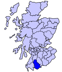
Hill, Mountain in Kirkcudbrightshire
Scotland
Corse Hill

Corse Hill is a prominent landmark located in Kirkcudbrightshire, a historic county in southwest Scotland. With its summit reaching an elevation of 493 meters (1,617 feet), it is categorized as a hill rather than a mountain. The hill is situated about 5 kilometers (3 miles) southwest of the town of Gatehouse of Fleet.
Corse Hill is known for its distinctive conical shape, making it easily recognizable from a distance. The hill is primarily composed of granite, and its slopes are covered in heather and grasses, creating a picturesque landscape. It offers breathtaking panoramic views of the surrounding countryside, including the nearby Galloway Forest Park and the Solway Firth.
The hill is a popular destination for hikers and nature enthusiasts, with several well-marked trails leading to the summit. The most common route starts at the car park near the village of Laurieston, where visitors can follow a well-maintained path that winds its way up the hill. The ascent is relatively moderate, making it accessible to a wide range of fitness levels.
At the summit of Corse Hill, hikers are rewarded with stunning vistas of the rolling hills and glens of Kirkcudbrightshire. On clear days, it is even possible to see across the Irish Sea to the coastline of Northern Ireland. The hill provides an excellent opportunity for wildlife spotting, with various bird species, including buzzards and kestrels, frequently seen soaring overhead.
Overall, Corse Hill offers a memorable and rewarding outdoor experience, combining natural beauty, tranquility, and breathtaking views of the Scottish countryside.
If you have any feedback on the listing, please let us know in the comments section below.
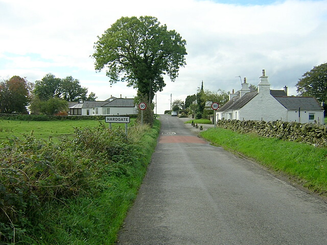
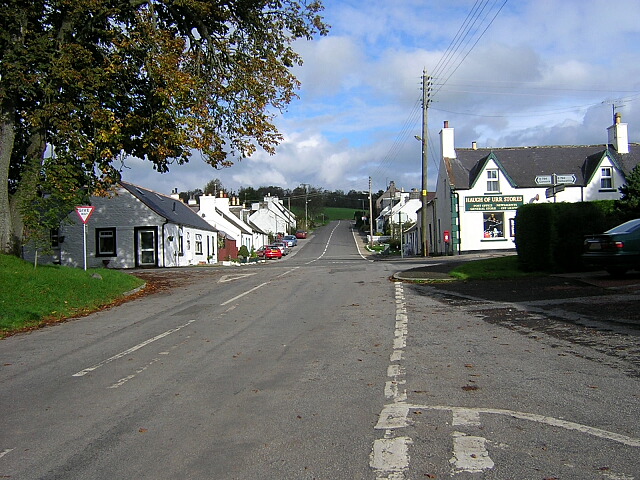
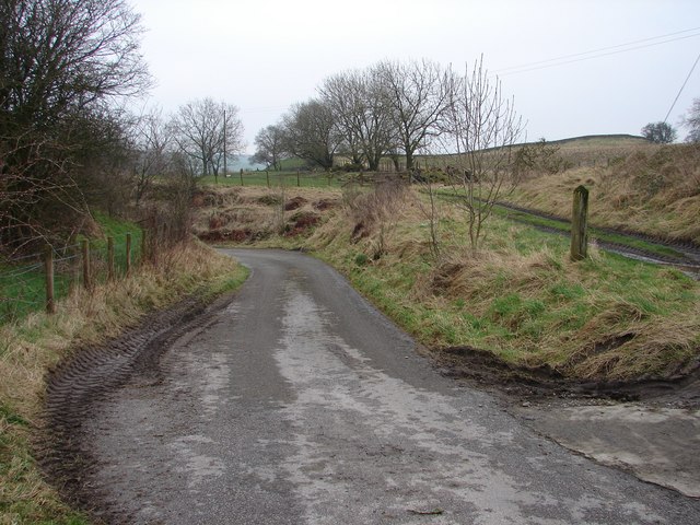
Corse Hill Images
Images are sourced within 2km of 54.978696/-3.85122 or Grid Reference NX8166. Thanks to Geograph Open Source API. All images are credited.


Corse Hill is located at Grid Ref: NX8166 (Lat: 54.978696, Lng: -3.85122)
Unitary Authority: Dumfries and Galloway
Police Authority: Dumfries and Galloway
What 3 Words
///carpeted.towers.record. Near Dalbeattie, Dumfries & Galloway
Nearby Locations
Related Wikis

Haugh of Urr
Haugh of Urr (), is a village in the historical county of Kirkcudbrightshire in Dumfries and Galloway, Scotland. It is approximately 4 miles (6 kilometres...
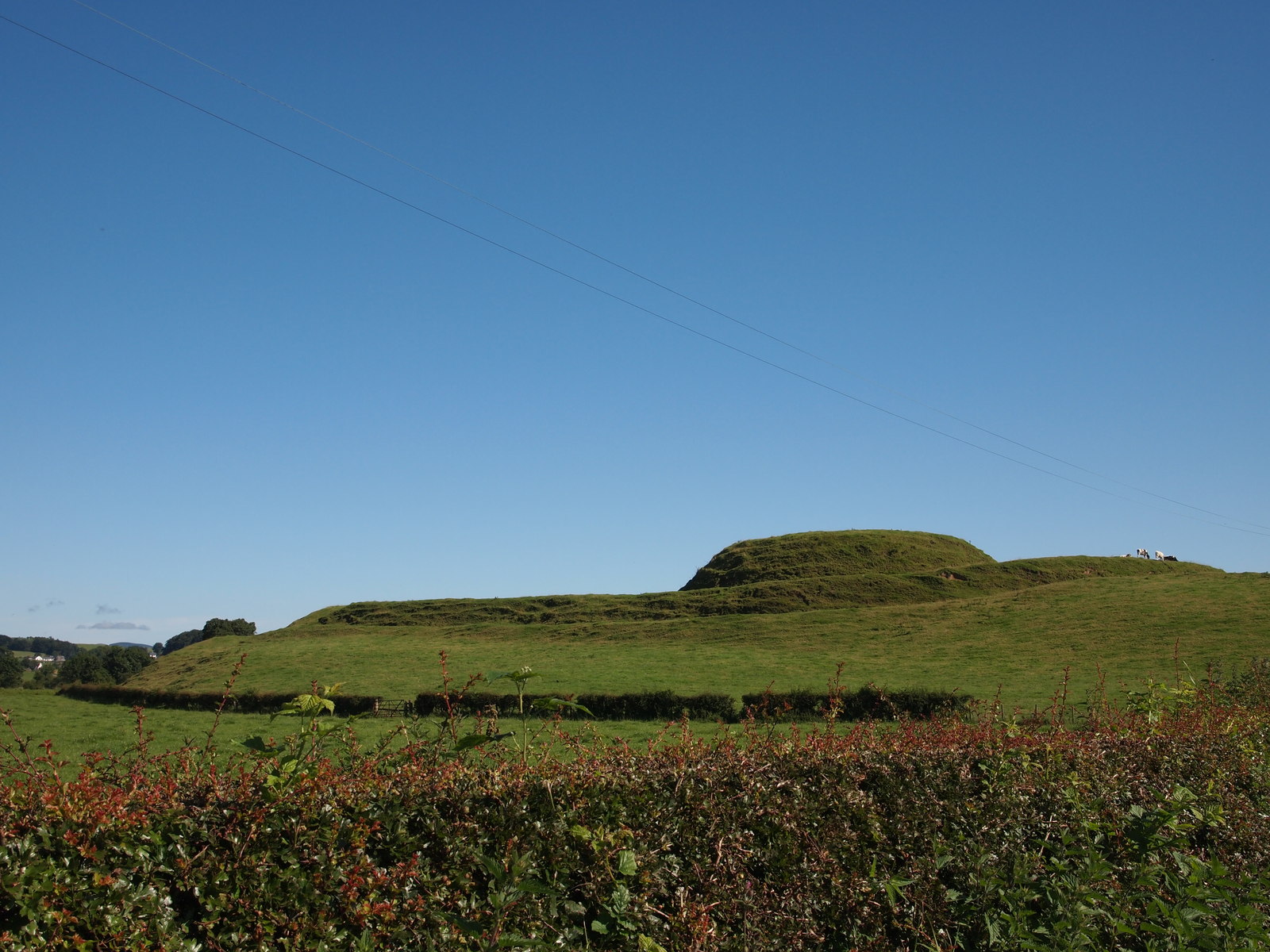
Motte of Urr
The Motte of Urr is the remains of a 12th-century motte-and-bailey castle located near the Haugh of Urr in Dumfries and Galloway, Scotland. == History... ==
Buittle railway station
Buittle railway station, also known as Buittle Halt, Buittle Mill and Buittle Mill Halt, served the civil parish of Buittle, Dumfries and Galloway, Scotland...
Stewartry
Stewartry was a local government district from 1975 until 1996 within the Dumfries and Galloway region in south-west Scotland. Under the name Stewartry...

Springholm
Springholm is a village in the historical county of Kirkcudbrightshire in Dumfries and Galloway, Scotland. It is located 14 miles (23 km) west of Dumfries...

Buittle
Buittle is an ecclesiastical and civil parish in Dumfries and Galloway, southwest Scotland, in the traditional county of Kirkcudbrightshire. It lies to...

A75 road
The A75 is a primary trunk road in Scotland, linking Stranraer and its ferry ports at Cairnryan with the A74(M) at Gretna, close to the border with England...

Kirkpatrick Durham
Kirkpatrick Durham (Scottish Gaelic: Cill Phàdraig) is a village and parish in the historical county of Kirkcudbrightshire, Dumfries and Galloway, south...
Nearby Amenities
Located within 500m of 54.978696,-3.85122Have you been to Corse Hill?
Leave your review of Corse Hill below (or comments, questions and feedback).