Banc Mawr
Hill, Mountain in Cardiganshire
Wales
Banc Mawr

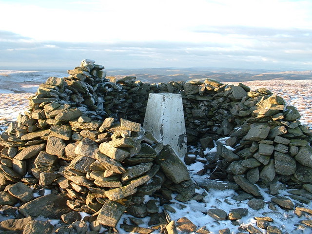
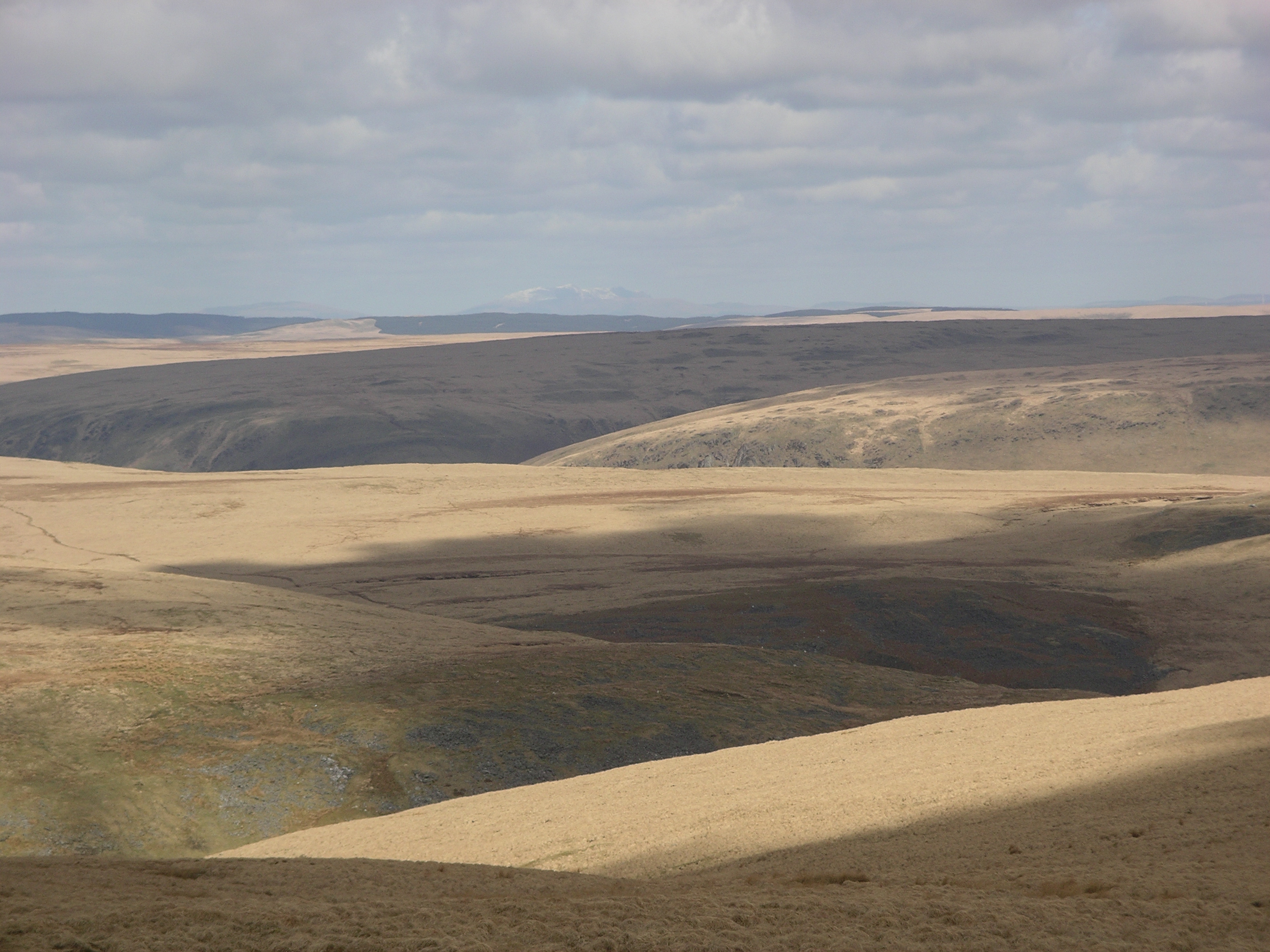
Banc Mawr is a prominent hill located in the county of Cardiganshire, Wales. It is situated in the northern part of the county, near the village of Pontrhydfendigaid. With an elevation of approximately 483 meters (1,585 feet), Banc Mawr is considered one of the highest points in the area, offering stunning panoramic views of the surrounding countryside.
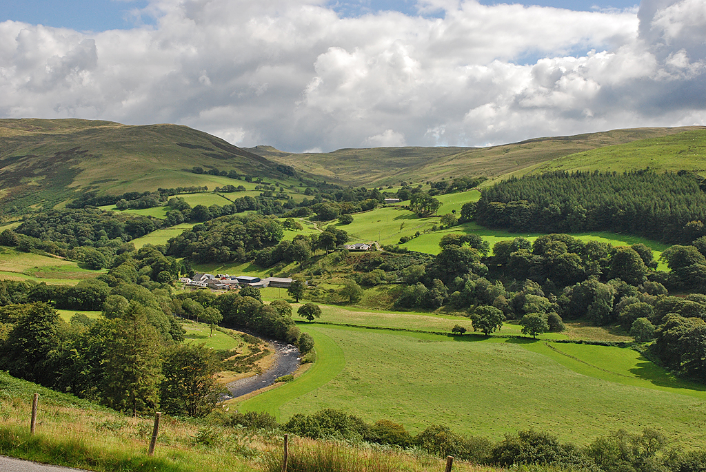
The hill is primarily composed of rocky outcrops and is covered in lush green vegetation, making it a picturesque and attractive destination for hikers and nature enthusiasts. Its steep slopes provide a moderate to challenging climb, adding to the excitement and adventure for those seeking outdoor activities.
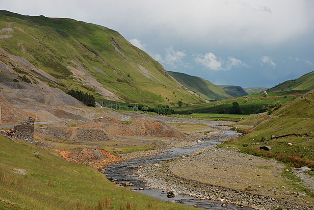
Banc Mawr is part of the wider Cambrian Mountains range, which is known for its rugged and wild landscapes. The area is rich in biodiversity, with a variety of flora and fauna thriving in its habitat. Visitors can expect to encounter a diverse range of wildlife, including birds, reptiles, and small mammals, as they explore the hill and its surroundings.
Aside from its natural beauty, Banc Mawr holds historical significance. The remains of ancient settlements and burial mounds can be found on its slopes, evidencing human occupation in the area dating back to prehistoric times. These archaeological sites provide valuable insights into the region's past and add an extra layer of fascination for history enthusiasts.
Overall, Banc Mawr is a remarkable hill in Cardiganshire, offering a blend of natural beauty, recreational opportunities, and cultural heritage. Its captivating landscapes and compelling history make it a popular destination for locals and tourists alike.
If you have any feedback on the listing, please let us know in the comments section below.
Banc Mawr Images
Images are sourced within 2km of 52.328786/-3.7685472 or Grid Reference SN7971. Thanks to Geograph Open Source API. All images are credited.


Banc Mawr is located at Grid Ref: SN7971 (Lat: 52.328786, Lng: -3.7685472)
Unitary Authority: Ceredigion
Police Authority: Dyfed Powys
What 3 Words
///porridge.writers.bunkers. Near Cwmystwyth, Ceredigion
Nearby Locations
Related Wikis
Llan Ddu Fawr
Llan Ddu Fawr or Waun Claerddu is a hill located in Ceredigion, Wales, at 594 metres (1,949 ft) above sea level. It is located about 10 miles south of...
Cwmystwyth
Cwmystwyth (also Cwm Ystwyth, Welsh pronunciation: [kʊmˈəstʊɨθ]; English: "valley of the River Ystwyth") is a village in Ceredigion, Wales near Devil's...

Banc Tynddol sun-disc
The Banc Tynddol sun-disc (Welsh: Disc Haul Banc Tynddol) is a small, decorated, gold ornament discovered at Cwmystwyth, Ceredigion, Wales. It most likely...
Cwmystwyth Mines
Cwmystwyth mines are located in Cwmystwyth, Ceredigion, Wales and exploited a part of the Central Wales Orefield. Cwm Ystwyth is a scheduled monument,...

Mwyngloddfa Cwmystwyth
Mwyngloddfa Cwmystwyth is a Site of Special Scientific Interest in Ceredigion, west Wales. It comprises old mine workings located in the upper Ystwyth...

Eglwys Newydd Church
Eglwys Newydd Church (also known as St Michael's Church, Hafod) is an early 19th-century church which replaced a previous chapel of ease. The chapel of...
Desert of Wales
The Desert of Wales, or Green Desert of Wales, is an archaic term for an area in central Wales, so called for its lack of roads and towns, and its inaccessibility...

Hafod Uchtryd
Hafod Uchtryd (English: Uchtryd summer mansion) is a wooded and landscaped estate in the Ystwyth valley in Ceredigion, Wales. Near Devil's Bridge, Cwmystwyth...
Nearby Amenities
Located within 500m of 52.328786,-3.7685472Have you been to Banc Mawr?
Leave your review of Banc Mawr below (or comments, questions and feedback).