Bryn Dafarn
Hill, Mountain in Caernarfonshire
Wales
Bryn Dafarn

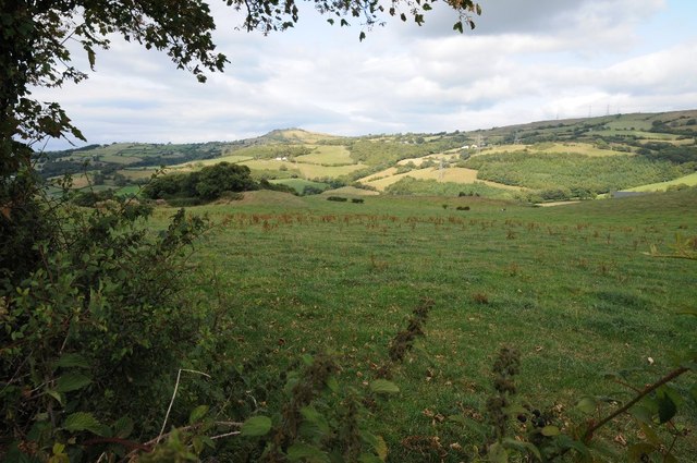
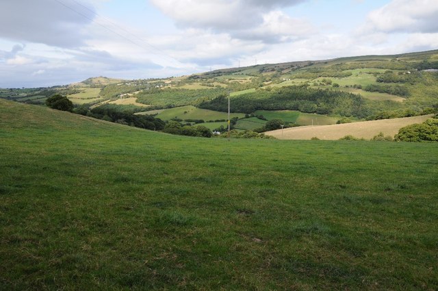
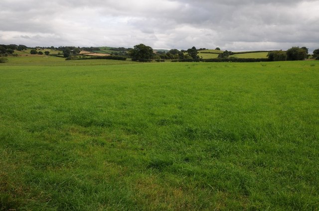
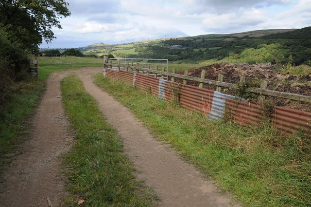
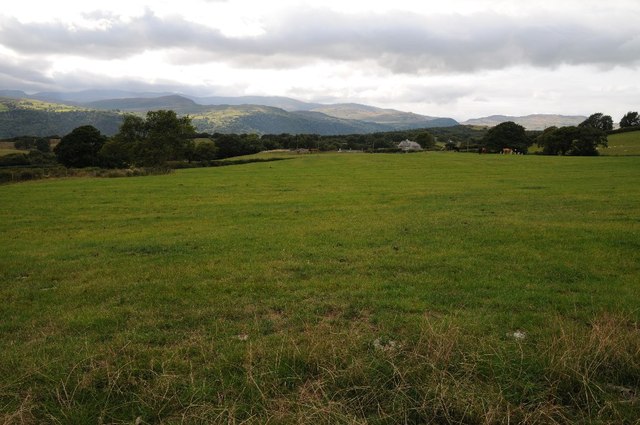
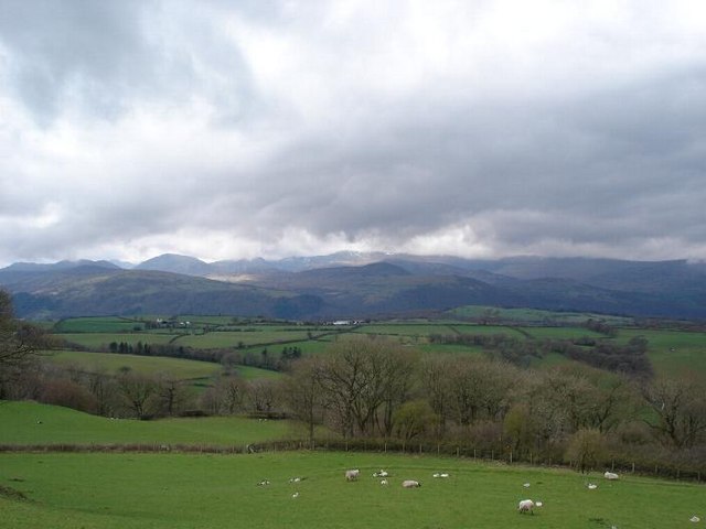
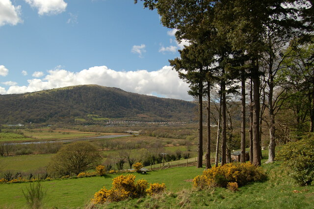
Bryn Dafarn is a prominent hill located in the county of Caernarfonshire, Wales. With an elevation of approximately 440 meters (1,440 feet), it is considered a notable landmark in the region. Situated in the Snowdonia National Park, Bryn Dafarn offers breathtaking panoramic views of the surrounding landscapes, including the picturesque Welsh countryside and the nearby coastline.
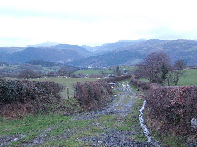
The hill is known for its rugged terrain, featuring steep slopes covered in dense grasses and heather, providing a habitat for various plant and animal species. It is a popular destination for hikers and nature enthusiasts, offering a range of walking trails that cater to different levels of difficulty. The ascent to the summit of Bryn Dafarn can be challenging, but the reward is the stunning vista that awaits visitors at the top.
The area surrounding Bryn Dafarn is rich in historical and cultural significance. Caernarfon Castle, a UNESCO World Heritage Site, is located nearby and is a testament to the region's medieval heritage. The hill itself has connections to Welsh folklore and mythology, adding an aura of mystique to the landscape.
Overall, Bryn Dafarn is a captivating natural landmark that showcases the beauty and diversity of the Welsh countryside. Its combination of stunning views, challenging terrain, and historical significance make it a must-visit destination for those exploring Caernarfonshire and the Snowdonia National Park.
If you have any feedback on the listing, please let us know in the comments section below.
Bryn Dafarn Images
Images are sourced within 2km of 53.189061/-3.8037719 or Grid Reference SH7967. Thanks to Geograph Open Source API. All images are credited.


Bryn Dafarn is located at Grid Ref: SH7967 (Lat: 53.189061, Lng: -3.8037719)
Unitary Authority: Conwy
Police Authority: North Wales
What 3 Words
///graver.lamenting.soldiers. Near Llanrwst, Conwy
Nearby Locations
Related Wikis

Cadair Ifan Goch
Cadair Ifan Goch (Chair of Ifan Goch, the Giant) is a crag located above the Conwy Valley in North Wales in the community of Llanddoged and Maenan, and...
Maenan
Maenan is a rural settlement in Conwy, Wales, located approximately 4 miles to the north of Llanrwst and 3 miles to the south of the village of Eglwysbach...

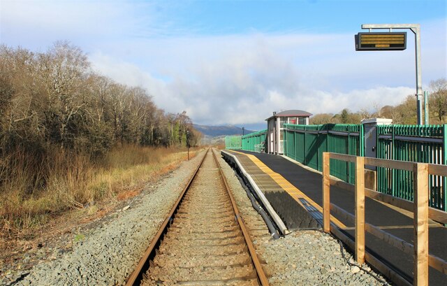
Dolgarrog railway station
Dolgarrog railway station is an unstaffed halt, and a request stop, on the Conwy Valley Line from Llandudno Junction to Blaenau Ffestiniog. The station...

Afon Ddu
Afon Ddu (Welsh for black river) is the name of several rivers in Snowdonia in north-west Wales: The largest of these flows from Llyn Cowlyd on the south...
Nearby Amenities
Located within 500m of 53.189061,-3.8037719Have you been to Bryn Dafarn?
Leave your review of Bryn Dafarn below (or comments, questions and feedback).