Arkland Craig
Hill, Mountain in Dumfriesshire
Scotland
Arkland Craig
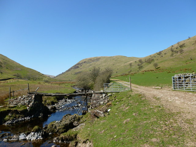
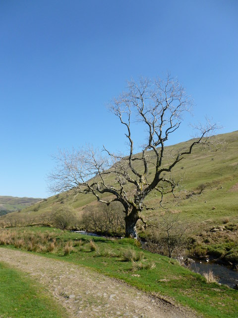
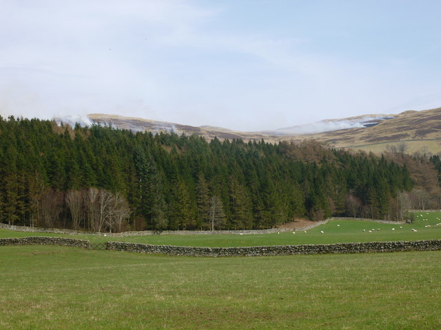
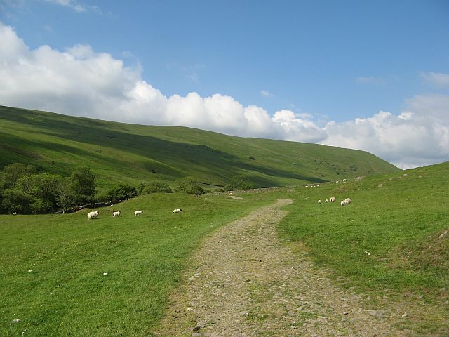
Arkland Craig is a prominent hill located in Dumfriesshire, Scotland. It lies within the Southern Uplands, a picturesque and rugged region known for its rolling hills and dramatic landscapes. With an elevation of approximately 544 meters (1,785 feet), Arkland Craig is a popular destination for outdoor enthusiasts, hikers, and nature lovers.
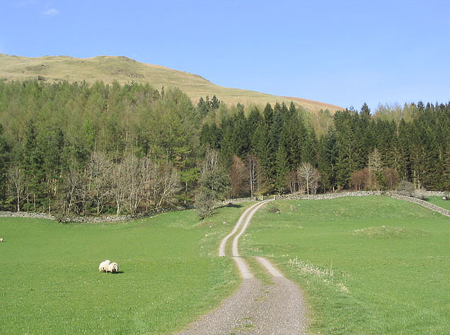
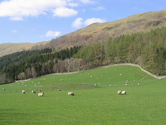
The hill offers breathtaking panoramic views of the surrounding countryside, including the nearby towns of Moffat and Dumfries. Its distinct shape and prominent position make it a recognizable landmark in the area. The hill is predominantly covered in heather and grasses, creating a vibrant and colorful landscape during the summer months.
Arkland Craig is home to a variety of wildlife, including red grouse, mountain hares, and various bird species. It provides a habitat for many native plants and flowers, adding to its natural beauty.
Hikers and walkers can access Arkland Craig via several well-marked trails, which cater to different levels of fitness and experience. The paths wind through the hill's slopes, offering a challenging yet rewarding ascent. Along the way, visitors can spot historic landmarks, such as ancient cairns and stone circles, adding a cultural element to the outdoor experience.
Overall, Arkland Craig is a stunning natural feature within Dumfriesshire, offering visitors the opportunity to immerse themselves in the beauty of the Scottish countryside while enjoying outdoor activities and breathtaking views.
If you have any feedback on the listing, please let us know in the comments section below.
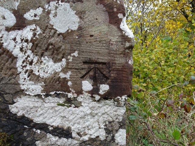
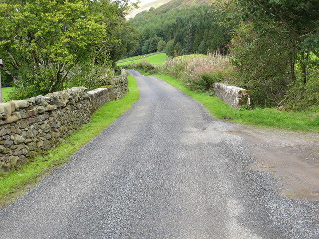
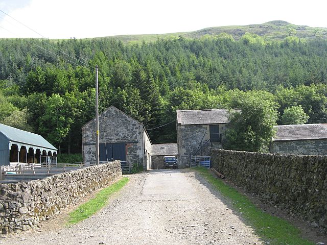
Arkland Craig Images
Images are sourced within 2km of 55.264696/-3.8965304 or Grid Reference NX7998. Thanks to Geograph Open Source API. All images are credited.


Arkland Craig is located at Grid Ref: NX7998 (Lat: 55.264696, Lng: -3.8965304)
Unitary Authority: Dumfries and Galloway
Police Authority: Dumfries and Galloway
What 3 Words
///offshore.crackled.analogy. Near Thornhill, Dumfries & Galloway
Nearby Locations
Related Wikis

Grennan Hill
Grennan Hill is the site of an Iron Age hill fort outside Penpont in Dumfries and Galloway, Scotland. == References == Schedule "Grennan Hill, NMRS Number...
Tynron Doon
Tynron Doon is a multivallate Iron Age hill fort outside the village of Tynron in Dumfries and Galloway, Scotland. It was occupied on and off from the...

Tynron
Tynron is a village and civil parish in Dumfries and Galloway, south-west Scotland, lying in a hollow of the Shinnel Water, 2 miles (3.2 km) from Moniaive...

Drumlanrig Castle
Drumlanrig Castle is situated on the Queensberry Estate in Dumfries and Galloway, Scotland. The category A listed castle is the Dumfriesshire home of the...
Drumlanrig
Drumlanrig (Scottish Gaelic: Druim Lannraig) is a settlement in Dumfries and Galloway, Scotland, which is best known for nearby Drumlanrig Castle. The...

Penpont
Penpont is a village about 2 miles (3 km) west of Thornhill in Dumfriesshire, in the Dumfries and Galloway region of Scotland. It is near the confluence...

Tibbers Castle
Tibbers Castle is a motte-and-bailey castle overlooking a ford across the River Nith in Dumfries and Galloway, Scotland. To the east is the village of...

Shinnel Water
Shinnel Water, also spelt Shinnell, is a river in the region of Dumfries and Galloway, Scotland. It rises in the Scaur hills of Tynron Parish in the Southern...
Nearby Amenities
Located within 500m of 55.264696,-3.8965304Have you been to Arkland Craig?
Leave your review of Arkland Craig below (or comments, questions and feedback).