Bryn Iocyn
Hill, Mountain in Caernarfonshire
Wales
Bryn Iocyn

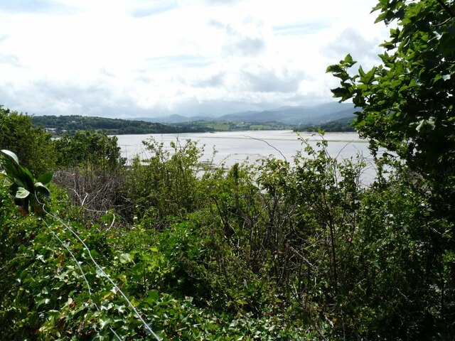
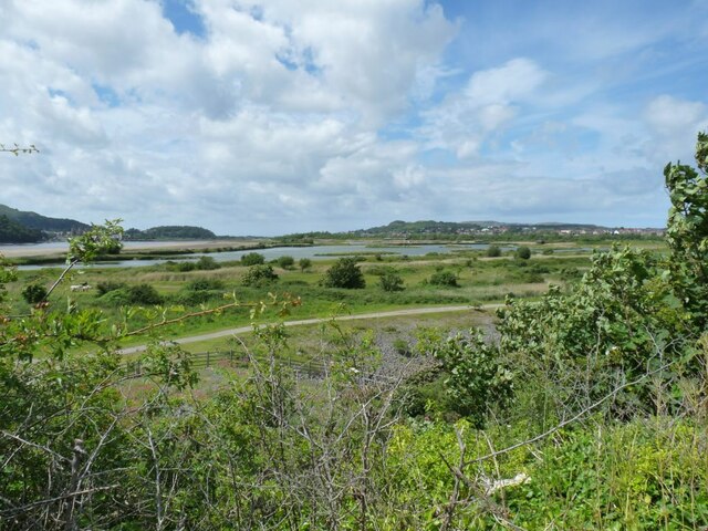
Bryn Iocyn is a prominent hill located in Caernarfonshire, Wales. Standing at an elevation of approximately 541 meters (1,775 feet), it offers breathtaking panoramic views of the surrounding landscape. Situated in the heart of Snowdonia National Park, this mountain is a popular destination for outdoor enthusiasts, hikers, and nature lovers alike.
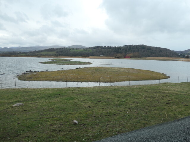
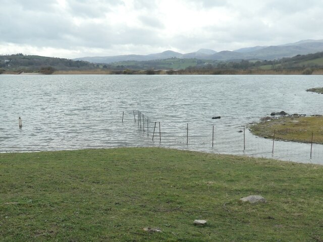
The hill is characterized by its rugged terrain, rocky slopes, and grassy meadows. Its unique geology and diverse vegetation make it a haven for a variety of wildlife, including birds, mammals, and plant species. The hill is often covered in heather, adding a vibrant purple hue to the landscape during the summer months.
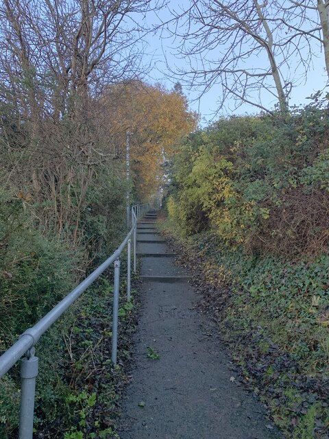
Bryn Iocyn is easily accessible by foot, with several well-marked trails leading to its summit. The most popular route starts from the village of Rhyd Ddu, offering a challenging but rewarding hike through scenic woodlands and open moorland. From the top, visitors can enjoy breathtaking views of nearby peaks, such as Snowdon and Moel Hebog, as well as the picturesque coastline and the Irish Sea in the distance.
Aside from its natural beauty, the hill also holds historical significance. It is believed to have been a site of ancient settlements and has remnants of old stone walls and structures, adding an element of mystery and intrigue for history enthusiasts.
Overall, Bryn Iocyn serves as a captivating destination for those seeking adventure, natural beauty, and a glimpse into Wales' rich history.
If you have any feedback on the listing, please let us know in the comments section below.
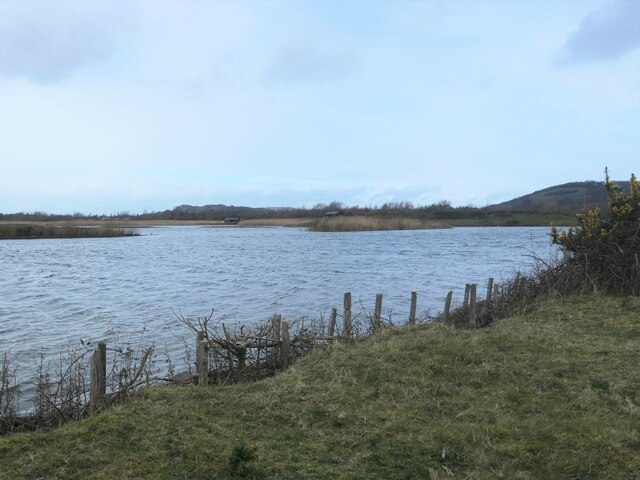
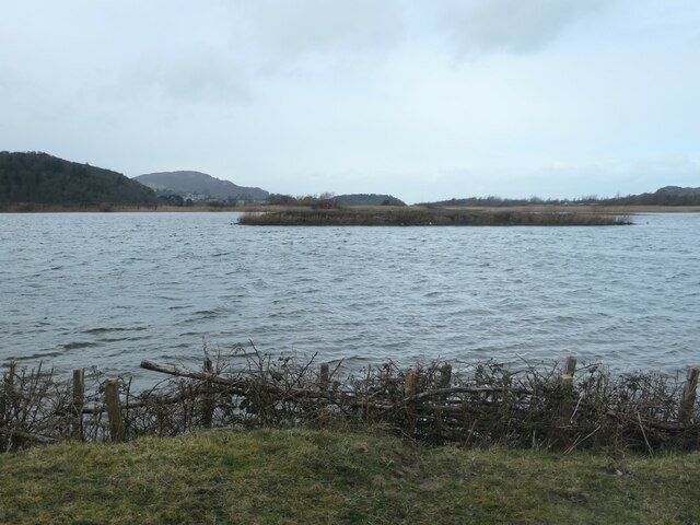
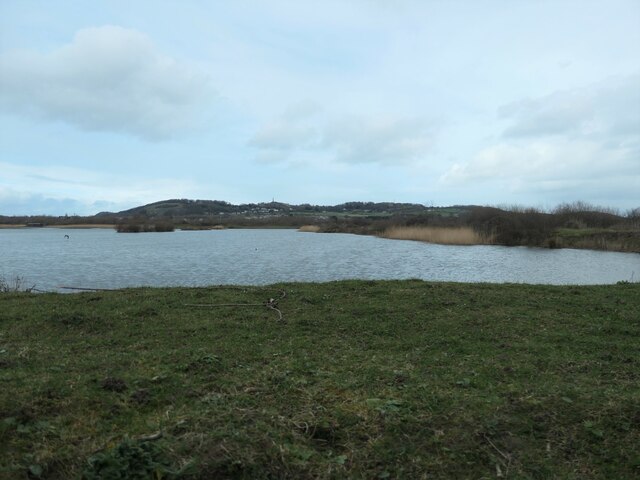
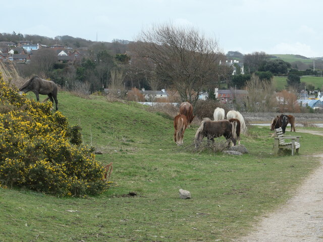
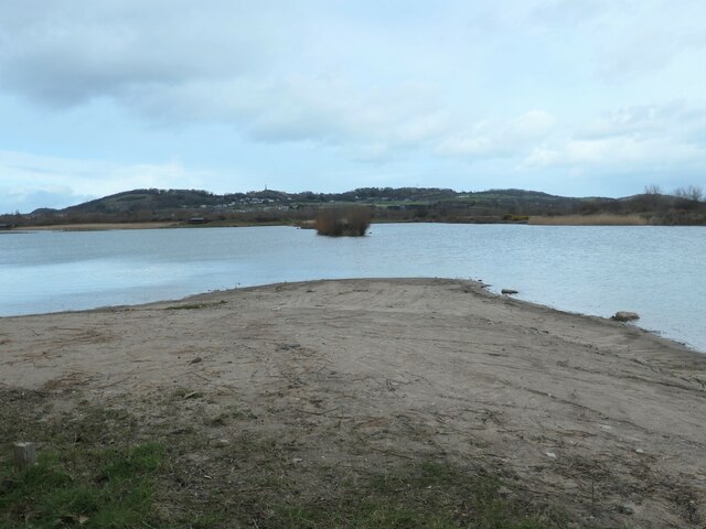
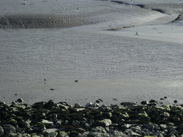
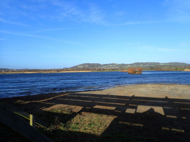
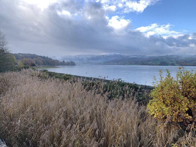
Bryn Iocyn Images
Images are sourced within 2km of 53.269135/-3.8268164 or Grid Reference SH7876. Thanks to Geograph Open Source API. All images are credited.


Bryn Iocyn is located at Grid Ref: SH7876 (Lat: 53.269135, Lng: -3.8268164)
Unitary Authority: Conwy
Police Authority: North Wales
What 3 Words
///overjoyed.outdoor.bind. Near Conwy
Nearby Locations
Related Wikis
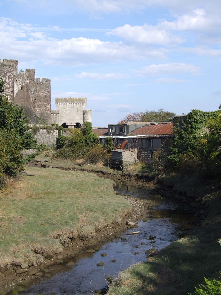
Afon Gyffin
The Afon Gyffin ("River Gyffin") is a river in Conwy County Borough. == Geography == The river runs into the River Conwy close to Conwy Castle. An area...

Conwy Castle
Conwy Castle (Welsh: Castell Conwy; Welsh pronunciation: [kastɛɬ 'kɔnwɨ̞]) is a fortification in Conwy, located in North Wales. It was built by Edward...

Albion Ale House
The Albion Ale House or The Albion is a Grade II listed public house in Conwy, North Wales. Built in 1921, it is a three-room pub with Art Nouveau decor...

Battle of the Conwy
The Battle of the Conwy took place in 881 between King Anarawd and his brothers of the northern Welsh Kingdom of Gwynedd and a Mercian army almost certainly...
Nearby Amenities
Located within 500m of 53.269135,-3.8268164Have you been to Bryn Iocyn?
Leave your review of Bryn Iocyn below (or comments, questions and feedback).