Barlae Hill

Hill, Mountain in Kirkcudbrightshire

Scotland

Barlae Hill

Road entrance, Doach Plantation
Road entrance, Doach Plantation Credit: Richard Webb

The requested URL returned error: 429 Too Many Requests

If you have any feedback on the listing, please let us know in the comments section below.
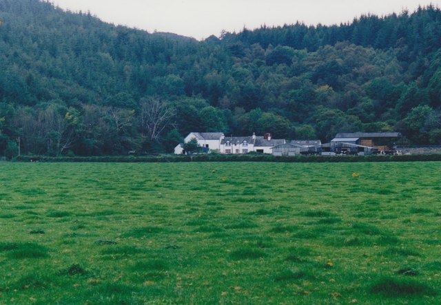
Barlae Hill Images

Images are sourced within 2km of 54.899065/-3.9000597 or Grid Reference NX7857. Thanks to Geograph Open Source API. All images are credited.

Road entrance, Doach Plantation
B736, Doach
B736, Doach
Doach Burn
Doach Burn
B727 Gelston
B727 Gelston
B727 Gelston
B727 Gelston
B727 near Castlegower
Drive to Castlegower From the junction with the B727. The house in amongst the trees is Gillfoot.
Drive to Castlegower
From the junction with the B727. The house in amongst the trees is Gillfoot.
Drive to Gelston House and Courtyard Cottages
Gelston Lodge The stables and paddock are fairly recent additions.
Gelston Lodge
The stables and paddock are fairly recent additions.
Minor road near Gelston Lodge
Glenyerrock Farm A farmhouse and associated outbuildings, photographed from the B736.
Glenyerrock Farm
A farmhouse and associated outbuildings, photographed from the B736.
Rough grazing near Breoch Lodge
Old building, Breoch Lodge
B736 at Doach
B736 at Doach
B736 at Doach Wood Cars are parked in the Forestry Commission Scotland car park.
B736 at Doach Wood
Cars are parked in the Forestry Commission Scotland car park.
Doach Wood The wood contains some of the tallest trees in south-west Scotland, growing up to 40 metres high.
Doach Wood
The wood contains some of the tallest trees in south-west Scotland, growing up to 40 metres high.
Tin-roofed building A shed of some kind.
Tin-roofed building
A shed of some kind.
Cheeky Red Squirrel Carved out of a tree trunk beside the forestry path.
Cheeky Red Squirrel
Carved out of a tree trunk beside the forestry path.
Show me another place!

Barlae Hill is located at Grid Ref: NX7857 (Lat: 54.899065, Lng: -3.9000597)

Unitary Authority: Dumfries and Galloway

Police Authority: Dumfries and Galloway

What 3 Words

///loser.stitching.stowing. Near Castle Douglas, Dumfries & Galloway

Related Wikis

Gelston Castle

Gelston Castle, located near Castle Douglas in Kirkcudbrightshire in Dumfries and Galloway, Scotland, was built by Sir William Douglas of Castle Douglas...

Airieland

Airieland is a farm in the historical county of Kirkcudbrightshire, in the Scottish council area of Dumfries and Galloway. It is found 3 miles (5 km) south...

Palnackie

Palnackie is a village in the parish of Buittle in the historical county of Kirkcudbrightshire in Dumfries and Galloway, Scotland. It has a population...

Threave Gardens

Threave Garden and Estate is a series of gardens owned and managed by the National Trust for Scotland, located near Castle Douglas in the historical county...

Nearby Amenities

Located within 500m of 54.899065,-3.9000597
Hazard: cows
Lat/Long: 54.896886/-3.897979
Barlae Hill
Ele: 170
Natural: peak
Lat/Long: 54.8990717/-3.9001063
Power: pole
Lat/Long: 54.8958996/-3.9050365
Power: pole
Lat/Long: 54.8963174/-3.9052341
Power: pole
Lat/Long: 54.8966681/-3.9052978
Power: pole
Lat/Long: 54.8970358/-3.9053892
Power: pole
Lat/Long: 54.8975855/-3.9061094
Power: pole
Lat/Long: 54.8981096/-3.9068104
Power: pole
Lat/Long: 54.8987302/-3.9076029
Power: pole
Lat/Long: 54.8953181/-3.8966322
Power: pole
Lat/Long: 54.8955441/-3.8977475
Power: pole
Lat/Long: 54.8957897/-3.8989903
Power: pole
Lat/Long: 54.8960303/-3.9001864
Power: pole
Lat/Long: 54.8962832/-3.9014398
Power: pole
Lat/Long: 54.8965361/-3.902672
Power: pole
Lat/Long: 54.8967328/-3.9037576
The data included in this document is from www.openstreetmap.org. The data is made available under ODbL.

Have you been to Barlae Hill?

Leave your review of Barlae Hill below (or comments, questions and feedback).