Wallaford Down
Hill, Mountain in Devon South Hams
England
Wallaford Down
Wallaford Down is a prominent hill located in the county of Devon, England. It is situated within Dartmoor National Park, approximately 5 miles north of the town of Tavistock. Standing at an elevation of 517 meters (1,696 feet), it is considered one of the highest points in the region and offers breathtaking panoramic views of the surrounding landscape.
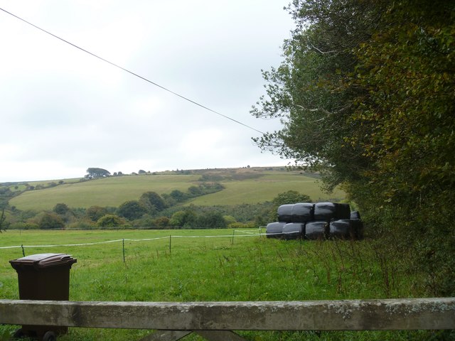
The hill is characterized by its rugged terrain and vast expanses of open moorland, covered in purple heather and grasses. It is also home to numerous granite outcrops, which add to its distinctiveness and attract rock climbers and bouldering enthusiasts. The unique geological features of Wallaford Down make it a popular destination for both locals and tourists seeking outdoor activities and nature appreciation.
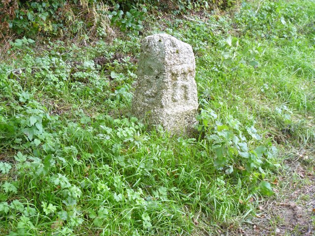
The hill is also known for its rich historical and cultural significance. It is believed to have been inhabited since prehistoric times, with evidence of ancient settlements and burial mounds found in the area. Additionally, the remains of medieval farmsteads and tin-mining activities can be seen on the slopes of Wallaford Down, providing insight into the region's past.
The diverse wildlife found on Wallaford Down adds to its appeal. It is home to a variety of bird species, including skylarks and buzzards, as well as grazing livestock such as Dartmoor ponies and sheep. The hill provides a habitat for an array of flora, with heather, gorse, and wildflowers decorating the landscape throughout the seasons.
Overall, Wallaford Down is a captivating natural landmark in Devon, offering visitors an opportunity to immerse themselves in its scenic beauty, explore its historical remains, and enjoy a range of outdoor activities.
If you have any feedback on the listing, please let us know in the comments section below.
Wallaford Down Images
Images are sourced within 2km of 50.478447/-3.8257577 or Grid Reference SX7065. Thanks to Geograph Open Source API. All images are credited.
![The way to the moor [1] At the road junction known as Cross Furzes, this 'no through road' leads past Haywood Hall to Lud gate and open moorland.](https://s0.geograph.org.uk/geophotos/05/95/37/5953776_e96f4173.jpg)
![The way to the moor [2] This 'no through road' leads past Haywood Hall to Lud gate and open moorland.](https://s1.geograph.org.uk/geophotos/05/95/37/5953781_b0adcc24.jpg)
![On Dean Moor [3] The path starts to descend, giving wide views, as the moorland comes to an end. The path across the moor is no longer on the line of the Abbot's Way bridleway but runs somewhat to the north.](https://s1.geograph.org.uk/geophotos/05/95/58/5955869_2142d7f1.jpg)
![On the Abbot's Way [6] The path across Dean Moor unites with the line of the Abbot&#039;s Way bridleway just before the moorland section ends at this gate. The Abbot&#039;s Way has a legend, see <span class="nowrap"><a title="http://www.dartmoor.gov.uk/learning/dartmoor-legends/the-legend-of-the-abbots-way" rel="nofollow ugc noopener" href="http://www.dartmoor.gov.uk/learning/dartmoor-legends/the-legend-of-the-abbots-way">Link</a><img style="margin-left:2px;" alt="External link" title="External link - shift click to open in new window" src="https://s1.geograph.org.uk/img/external.png" width="10" height="10"/></span>](https://s0.geograph.org.uk/geophotos/05/95/58/5955872_1f9da124.jpg)
![On the Abbot's Way [7] The Abbot&#039;s Way bridleway, having just left the moors, now runs across farmlend.](https://s3.geograph.org.uk/geophotos/05/95/58/5955875_4d81031f.jpg)
![On the Abbot's Way [8] In an area of rough grassland, the Abbot&#039;s Way bridleway descends to cross the un-named stream, a feeder stream for Dean Burn. The Abbot&#039;s Way has a legend, see <span class="nowrap"><a title="http://www.dartmoor.gov.uk/learning/dartmoor-legends/the-legend-of-the-abbots-way" rel="nofollow ugc noopener" href="http://www.dartmoor.gov.uk/learning/dartmoor-legends/the-legend-of-the-abbots-way">Link</a><img style="margin-left:2px;" alt="External link" title="External link - shift click to open in new window" src="https://s1.geograph.org.uk/img/external.png" width="10" height="10"/></span>](https://s1.geograph.org.uk/geophotos/05/95/58/5955877_70a2f504.jpg)
![On Lambs Down [1] The bridleway continues to run across farmland.](https://s2.geograph.org.uk/geophotos/05/95/58/5955886_790c201e.jpg)
![On Lambs Down [2] The bridleway runs across the hillside of Lambs Down affording some wonderful views.](https://s0.geograph.org.uk/geophotos/05/95/58/5955888_33e62ff1.jpg)
![On Lambs Down [3] The bridleways starts to descend to cross Dean Burn.](https://s3.geograph.org.uk/geophotos/05/95/58/5955895_65ecdcf6.jpg)
![On Lambs Down [4] On its descent to cross Dean Burn, the bridleway passes through an area of gorse.](https://s1.geograph.org.uk/geophotos/05/95/58/5955897_74504d7d.jpg)
Wallaford Down is located at Grid Ref: SX7065 (Lat: 50.478447, Lng: -3.8257577)
Administrative County: Devon
District: South Hams
Police Authority: Devon and Cornwall
What 3 Words
///level.fallback.blotting. Near Buckfastleigh, Devon
Nearby Locations
Related Wikis

West Buckfastleigh
West Buckfastleigh is a small civil parish in the South Hams district, on the eastern border of Dartmoor in Devon, England. Situated within the parish...

Combe, Buckfastleigh, Devon
Combe is a small village in the county of Devon, England. It lies on the River Mardle about 2 miles north west of the town of Buckfastleigh. == References ==

Scorriton
Scorriton is a tiny village in the county of Devon, England, and the main centre of habitation of the parish of West Buckfastleigh. == Description == The...

Buckfastleigh
Buckfastleigh is a market town and civil parish in Devon, England situated beside the Devon Expressway (A38) at the edge of the Dartmoor National Park...
Nearby Amenities
Located within 500m of 50.478447,-3.8257577Have you been to Wallaford Down?
Leave your review of Wallaford Down below (or comments, questions and feedback).