Skerraton Down
Downs, Moorland in Devon South Hams
England
Skerraton Down
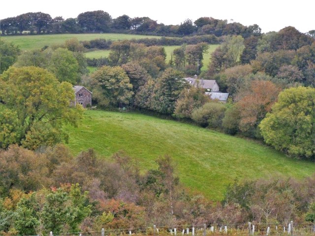
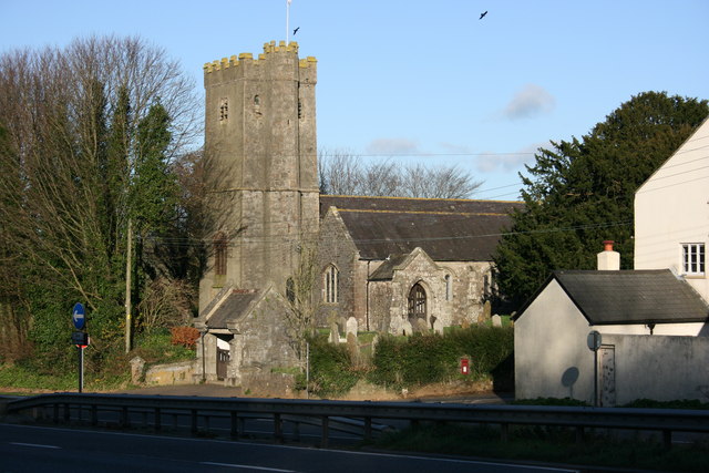
Skerraton Down is a picturesque area located in the county of Devon, England. Situated in the southwest part of the county, it forms part of the larger expanse of Dartmoor National Park. With its rolling hills, open moorland, and stunning natural beauty, Skerraton Down is a haven for nature enthusiasts and outdoor adventurers.
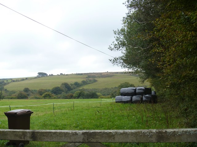
Covering an area of approximately 10 square kilometers, Skerraton Down offers a diverse range of landscapes. From sweeping valleys to rugged tors, the area is characterized by its granite outcrops and heather-covered moorland. The down is also interspersed with wooded areas, small streams, and charming villages, adding to its appeal.
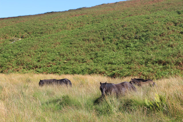
The rich biodiversity of Skerraton Down is a major draw for wildlife enthusiasts. The moorland provides habitat for a variety of species, including Dartmoor ponies, sheep, and birds such as skylarks and buzzards. Rare plants like the yellow bartsia and the globe flower can also be found in this area.
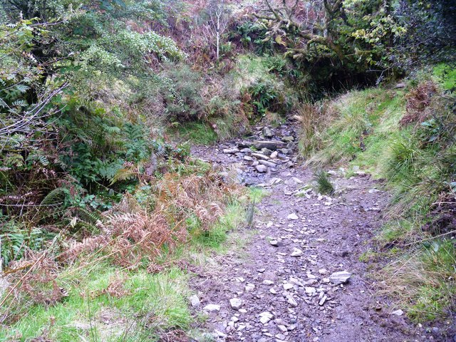
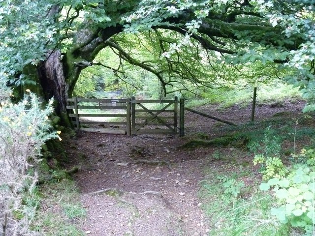
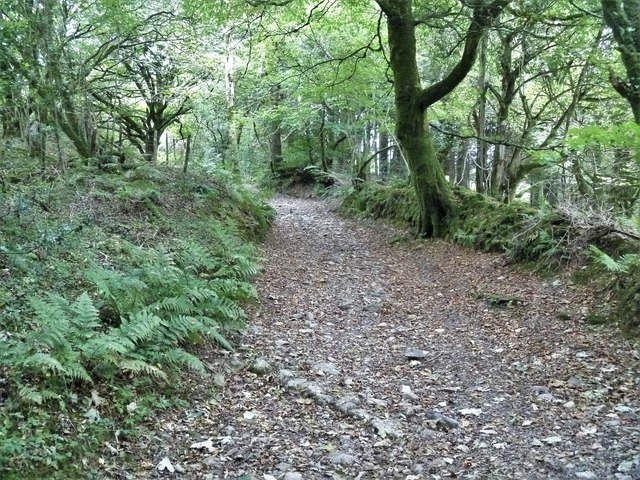
Walking and hiking are popular activities in Skerraton Down, with numerous trails and footpaths crisscrossing the landscape. The area offers stunning vistas and opportunities to explore its ancient archaeological sites, such as stone circles and burial mounds. It is also a popular spot for mountain biking, horseback riding, and birdwatching.
Skerraton Down is easily accessible, located near the town of Tavistock and within a short driving distance of Plymouth. Its natural beauty, tranquil atmosphere, and range of outdoor activities make it a must-visit destination for anyone seeking a true taste of the Devonshire countryside.
If you have any feedback on the listing, please let us know in the comments section below.
Skerraton Down Images
Images are sourced within 2km of 50.47126/-3.830399 or Grid Reference SX7065. Thanks to Geograph Open Source API. All images are credited.
![The way to the moor [1] At the road junction known as Cross Furzes, this 'no through road' leads past Haywood Hall to Lud gate and open moorland.](https://s0.geograph.org.uk/geophotos/05/95/37/5953776_e96f4173.jpg)
![On Dean Moor [2] The path crests Gripper's Hill and the views open out. The path across the moor is no longer on the line of the Abbot's Way bridleway but runs somewhat to the north.](https://s1.geograph.org.uk/geophotos/05/95/58/5955865_4e00ef2c.jpg)
![On Dean Moor [3] The path starts to descend, giving wide views, as the moorland comes to an end. The path across the moor is no longer on the line of the Abbot's Way bridleway but runs somewhat to the north.](https://s1.geograph.org.uk/geophotos/05/95/58/5955869_2142d7f1.jpg)
![On the Abbot's Way [6] The path across Dean Moor unites with the line of the Abbot&#039;s Way bridleway just before the moorland section ends at this gate. The Abbot&#039;s Way has a legend, see <span class="nowrap"><a title="http://www.dartmoor.gov.uk/learning/dartmoor-legends/the-legend-of-the-abbots-way" rel="nofollow ugc noopener" href="http://www.dartmoor.gov.uk/learning/dartmoor-legends/the-legend-of-the-abbots-way">Link</a><img style="margin-left:2px;" alt="External link" title="External link - shift click to open in new window" src="https://s1.geograph.org.uk/img/external.png" width="10" height="10"/></span>](https://s0.geograph.org.uk/geophotos/05/95/58/5955872_1f9da124.jpg)
![On the Abbot's Way [7] The Abbot&#039;s Way bridleway, having just left the moors, now runs across farmlend.](https://s3.geograph.org.uk/geophotos/05/95/58/5955875_4d81031f.jpg)
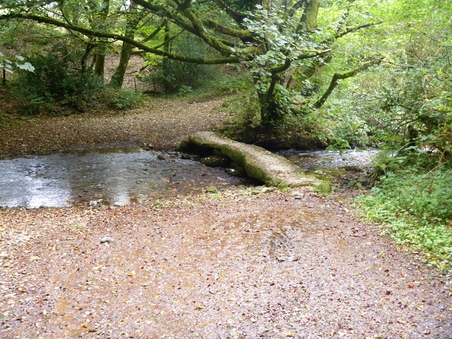
![On the Abbot's Way [8] In an area of rough grassland, the Abbot&#039;s Way bridleway descends to cross the un-named stream, a feeder stream for Dean Burn. The Abbot&#039;s Way has a legend, see <span class="nowrap"><a title="http://www.dartmoor.gov.uk/learning/dartmoor-legends/the-legend-of-the-abbots-way" rel="nofollow ugc noopener" href="http://www.dartmoor.gov.uk/learning/dartmoor-legends/the-legend-of-the-abbots-way">Link</a><img style="margin-left:2px;" alt="External link" title="External link - shift click to open in new window" src="https://s1.geograph.org.uk/img/external.png" width="10" height="10"/></span>](https://s1.geograph.org.uk/geophotos/05/95/58/5955877_70a2f504.jpg)
![On Lambs Down [1] The bridleway continues to run across farmland.](https://s2.geograph.org.uk/geophotos/05/95/58/5955886_790c201e.jpg)
![On Lambs Down [2] The bridleway runs across the hillside of Lambs Down affording some wonderful views.](https://s0.geograph.org.uk/geophotos/05/95/58/5955888_33e62ff1.jpg)
![On Lambs Down [3] The bridleways starts to descend to cross Dean Burn.](https://s3.geograph.org.uk/geophotos/05/95/58/5955895_65ecdcf6.jpg)
![On Lambs Down [4] On its descent to cross Dean Burn, the bridleway passes through an area of gorse.](https://s1.geograph.org.uk/geophotos/05/95/58/5955897_74504d7d.jpg)
Skerraton Down is located at Grid Ref: SX7065 (Lat: 50.47126, Lng: -3.830399)
Administrative County: Devon
District: South Hams
Police Authority: Devon and Cornwall
What 3 Words
///ambushed.residual.maker. Near Buckfastleigh, Devon
Nearby Locations
Related Wikis

West Buckfastleigh
West Buckfastleigh is a small civil parish in the South Hams district, on the eastern border of Dartmoor in Devon, England. Situated within the parish...

Combe, Buckfastleigh, Devon
Combe is a small village in the county of Devon, England. It lies on the River Mardle about 2 miles north west of the town of Buckfastleigh. == References ==
Dean Prior
Dean Prior is a village and civil parish near the A38 road, in the South Hams district, in the county of Devon, England. It is located near the town of...

Scorriton
Scorriton is a tiny village in the county of Devon, England, and the main centre of habitation of the parish of West Buckfastleigh. == Description == The...
Nearby Amenities
Located within 500m of 50.47126,-3.830399Have you been to Skerraton Down?
Leave your review of Skerraton Down below (or comments, questions and feedback).