Bamford

Settlement in Lancashire

England

Bamford

Springfield Park, Rochdale Photo taken from just inside the entrance on Bolton Road.
Springfield Park, Rochdale Credit: Stephen Armstrong

Bamford is a small village located in the county of Lancashire, England. Situated in the picturesque Rossendale Valley, it lies approximately 4 miles north of the town of Rochdale. With a population of around 1,500 residents, it maintains a close-knit community feel.

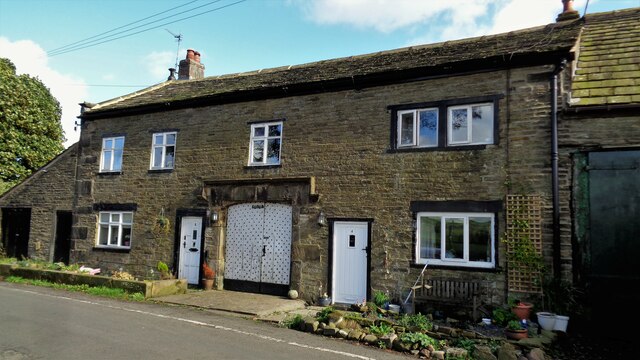
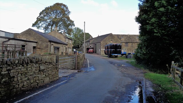
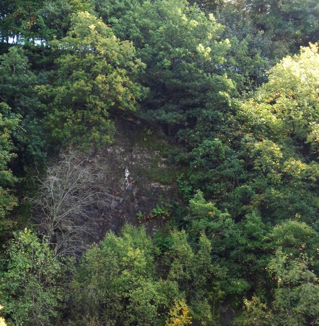
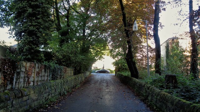
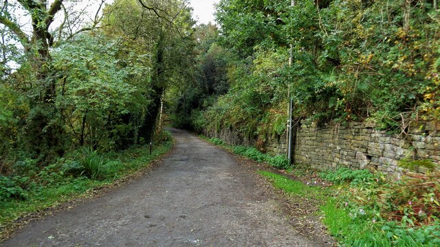
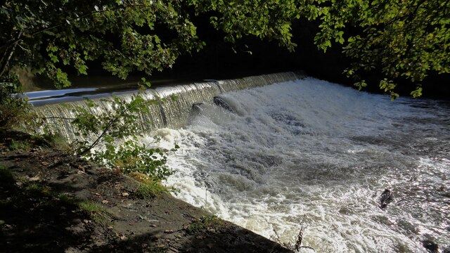
The village itself is surrounded by stunning natural beauty, characterized by rolling hills, lush green fields, and quaint stone cottages. It offers a peaceful and tranquil setting for residents and visitors alike. The nearby River Roch adds to the village's charm, providing opportunities for pleasant walks and picnics along its banks.

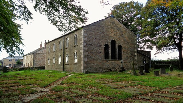
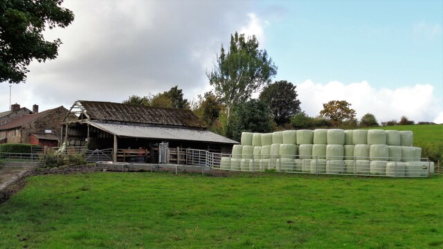
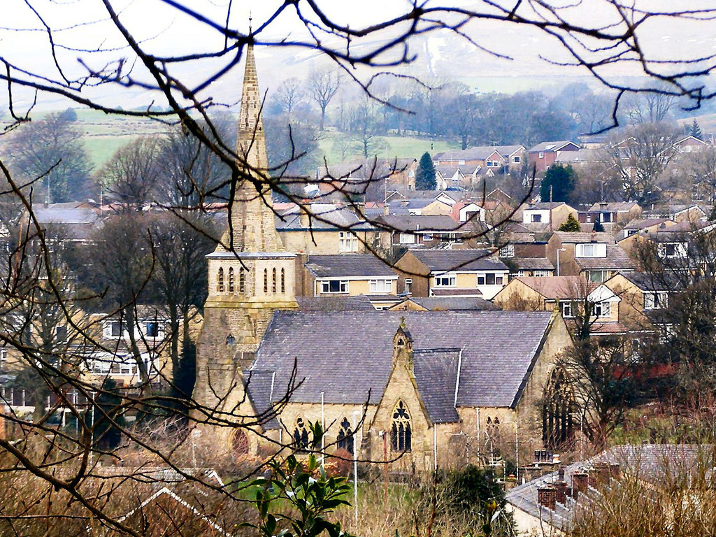
Bamford has a rich history, dating back to medieval times. It was primarily an agricultural community, with farming being the main occupation for many years. Today, the village retains some of its traditional charm, with a scattering of historic buildings and landmarks, including Bamford Chapel, a Grade II listed building dating back to 1791.

Although relatively small, Bamford offers a range of amenities to cater to its residents' needs. These include a local primary school, a post office, a village hall, and a few shops and eateries. For additional facilities and services, residents can easily access the nearby town of Rochdale, which offers a wider range of amenities, including supermarkets, healthcare facilities, and leisure centers.

Overall, Bamford is a peaceful and idyllic village, offering a close-knit community, stunning natural surroundings, and a rich historical heritage. It provides a serene and picturesque place to call home or visit for those seeking a tranquil retreat.

If you have any feedback on the listing, please let us know in the comments section below.
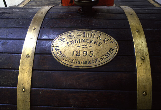
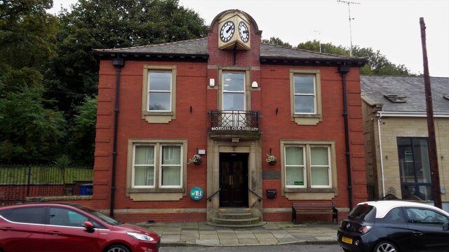
Bamford Images

Images are sourced within 2km of 53.615608/-2.209332 or Grid Reference SD8613. Thanks to Geograph Open Source API. All images are credited.

Springfield Park, Rochdale Photo taken from just inside the entrance on Bolton Road.
Springfield Park, Rochdale
Photo taken from just inside the entrance on Bolton Road.
Steam engine - Baitings Mill, Norden This engine powered a cotton weaving shed near Rochdale and is now in the Museum of Making in Canada. It is a horizontal tandem compound built in 1895 by SS Stott of Haslingden. The cylinders are 12.5" & 24.25" x 3' with Corliss valves on the high pressure and a slide valve on the low pressure. The jet condenser and air pump are below the low pressure cylinder. the flywheel is 14' diameter. It could develop about 250 horsepower at 65-67 rpm.
Steam engine - Baitings Mill, Norden
This engine powered a cotton weaving shed near Rochdale and is now in the Museum of Making in Canada. It is a horizontal tandem compound built in 1895 by SS Stott of Haslingden. The cylinders are 12.5" & 24.25" x 3' with Corliss valves on the high pressure and a slide valve on the low pressure. The jet condenser and air pump are below the low pressure cylinder. the flywheel is 14' diameter. It could develop about 250 horsepower at 65-67 rpm.
Steam engine - Baitings Mill, Norden This engine powered a cotton weaving shed near Rochdale and is now in the Museum of Making in Canada. It is a horizontal tandem compound built in 1895 by SS Stott & Co of Haslingden. The cylinders are 12.5" & 24.25" x 3' with Corliss valves on the high pressure and a slide valve on the low pressure. The jet condenser and air pump are below the low pressure cylinder. the flywheel is 14' diameter. It could develop about 250 horsepower at 65-67 rpm.
Steam engine - Baitings Mill, Norden
This engine powered a cotton weaving shed near Rochdale and is now in the Museum of Making in Canada. It is a horizontal tandem compound built in 1895 by SS Stott & Co of Haslingden. The cylinders are 12.5" & 24.25" x 3' with Corliss valves on the high pressure and a slide valve on the low pressure. The jet condenser and air pump are below the low pressure cylinder. the flywheel is 14' diameter. It could develop about 250 horsepower at 65-67 rpm.
Woodhouse Farm Yard An historic property, with ball finials even on walling to outbuildings
Woodhouse Farm Yard
An historic property, with ball finials even on walling to outbuildings
Norden Old Library An interesting building with a clock that works on Edenfield Road
Norden Old Library
An interesting building with a clock that works on Edenfield Road
Church of St James, Ashworth Beyond the church is the former Egerton Arms, no longer a public house
Church of St James, Ashworth
Beyond the church is the former Egerton Arms, no longer a public house
Ashworth Hall Estate Cottages With the carriage drive archway (and doors) for Ashworth Hall between the two cottages
Ashworth Hall Estate Cottages
With the carriage drive archway (and doors) for Ashworth Hall between the two cottages
Ashworth Hall Fold With Ashworth Fold Farm on the left and a listed barn attached to estate cottages behind the trailer with bales
Ashworth Hall Fold
With Ashworth Fold Farm on the left and a listed barn attached to estate cottages behind the trailer with bales
Bale Storage at Lee Holme Approaching the farm along Roods Lane
Bale Storage at Lee Holme
Approaching the farm along Roods Lane
Cliffs by Naden Brook View from Lower Clough of a lost rock climber!
Cliffs by Naden Brook
View from Lower Clough of a lost rock climber!
Crimble Lane Near to the junction with Bury Road
Crimble Lane
Near to the junction with Bury Road
Crimble Mill An historic mill damaged by fire in the multi-storey sections
Crimble Mill
An historic mill damaged by fire in the multi-storey sections
Primrose Hill Farm Withs its new access road from Rochdale Road East
Primrose Hill Farm
Withs its new access road from Rochdale Road East
Mine Street Used as a route to reach Hooley Bridge by the Rochdale Way
Mine Street
Used as a route to reach Hooley Bridge by the Rochdale Way
Weir on River Roch West of the confluence with Naden Brook
Weir on River Roch
West of the confluence with Naden Brook
Marker Stone With a benchmark but what do the letters CL and the apparent division mark mean? There is another stone with the markings reversed (without benchmark) on the other side of Simpson Clough near Bamford Road junction with the B6222.
Marker Stone
With a benchmark but what do the letters CL and the apparent division mark mean? There is another stone with the markings reversed (without benchmark) on the other side of Simpson Clough near Bamford Road junction with the B6222.
Show me another place!

Bamford is located at Grid Ref: SD8613 (Lat: 53.615608, Lng: -2.209332)

Unitary Authority: Rochdale

Police Authority: Greater Manchester

What 3 Words

///secret.spoon.final. Near Heywood, Manchester

Nearby Locations

Bagslate Moor Bamford

Related Wikis

Bamford, Greater Manchester

Bamford is an affluent suburban area within the Metropolitan Borough of Rochdale, in Greater Manchester, England. Together with neighbouring Birtle, it...

Norden, Greater Manchester

Norden is a village in the Metropolitan Borough of Rochdale, in Greater Manchester, England. Historically part of Lancashire. The village is situated on...

Oulder Hill Leadership Academy

Oulder Hill Leadership Academy (formerly Oulder Hill Community School) is a co-educational secondary school for 11- to 16-year-olds, located in Rochdale...

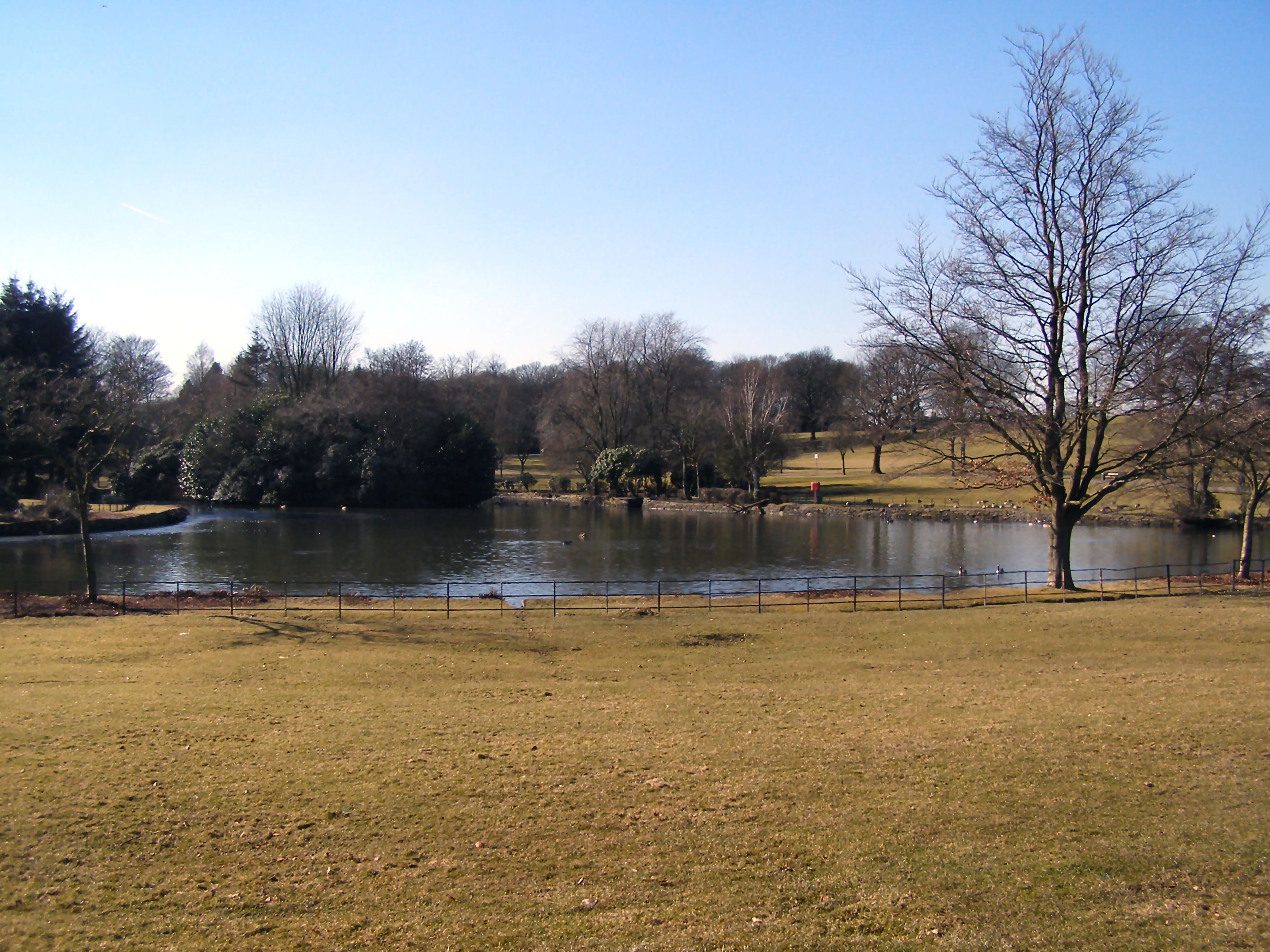
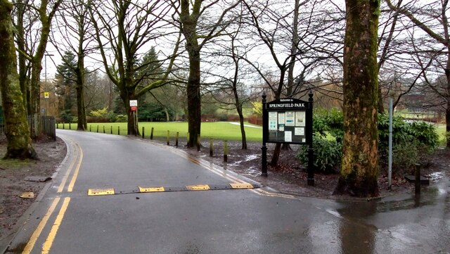
Springfield Park (Rochdale)

Springfield Park is a large public park located between Rochdale and Heywood in Greater Manchester. Completed in 1927 on the former site of a 13th-century...

Millers Brook

Millers Brook is a watercourse in Greater Manchester and tributary of the River Roch. It originates in Heywood and flows through Queens Park to join the...

Naden Brook

Naden Brook is a watercourse in northwest England. It rises in the hills above Norden, near the boundary of Lancashire and Greater Manchester. From here...
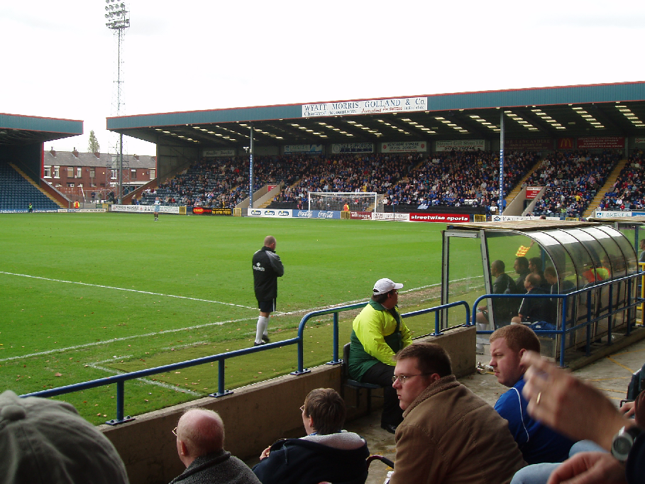
Spotland Stadium

Spotland Stadium, known as the Crown Oil Arena for sponsorship reasons, is a multi-purpose sports stadium in the Spotland area of Rochdale, Greater Manchester...

Matthew Moss High School

Matthew Moss High School is a coeducational secondary school located in Rochdale in the English county of Greater Manchester.Previously a community school...

Nearby Amenities

Located within 500m of 53.615608,-2.209332
Bamford
Is In: Rochdale, Greater Manchester, England, UK
Place: suburb
Source: npe
Lat/Long: 53.6160495/-2.2098697
Bagslate Moor
Created By: Potlatch 0.5a
Is In: Rochdale, Greater Manchester, England, UK
Place: suburb
Source: npe
Lat/Long: 53.6180425/-2.2053933
Bus Stop
War Office Road/Norden Road
Bus: yes
Naptan AtcoCode: 1800NE25851
Naptan Bearing: S
Naptan CommonName: War Office Road/Norden Road
Naptan Indicator: O/s House 100
Naptan Landmark: HOUSE 100
Naptan NaptanCode: mangatga
Naptan PlusbusZoneRef: MNCRPIC
Naptan ShortCommonName: Norden Road
Naptan Street: WAR OFFICE ROAD
Naptan Verified: no
Network: TfGM
Public Transport: platform
Source: naptan_import
Lat/Long: 53.6120264/-2.2089103
Bus Stop
Norden Road/War Office Road
Bus: yes
Naptan AtcoCode: 1800NE25861
Naptan Bearing: N
Naptan CommonName: Norden Road/War Office Road
Naptan Indicator: Nr Roundabout
Naptan Landmark: FLATS 1-3
Naptan NaptanCode: mangatgd
Naptan PlusbusZoneRef: MNCRPIC
Naptan ShortCommonName: War Office Road
Naptan Street: NORDEN ROAD
Naptan Verified: no
Network: TfGM
Public Transport: platform
Source: naptan_import
Lat/Long: 53.6126102/-2.2091702
Bus Stop
Norden Road/Belgium Street
Bus: yes
Naptan AtcoCode: 1800NE25871
Naptan Bearing: N
Naptan CommonName: Norden Road/Belgium Street
Naptan Indicator: School
Naptan Landmark: HOUSE 114
Naptan NaptanCode: mangatgj
Naptan PlusbusZoneRef: MNCRPIC
Naptan ShortCommonName: Belgium Street
Naptan Street: NORDEN ROAD
Naptan Verified: no
Network: TfGM
Public Transport: platform
Source: naptan_import
Lat/Long: 53.6143646/-2.2081812
Bus Stop
Norden Road/Belgium Street
Bus: yes
Naptan AtcoCode: 1800NE25881
Naptan Bearing: S
Naptan CommonName: Norden Road/Belgium Street
Naptan Indicator: Newsagent
Naptan Landmark: PIZZERIA
Naptan NaptanCode: mangatgm
Naptan PlusbusZoneRef: MNCRPIC
Naptan ShortCommonName: Belgium Street
Naptan Street: NORDEN ROAD
Naptan Verified: no
Network: TfGM
Public Transport: platform
Source: naptan_import
Lat/Long: 53.6146621/-2.2077292
Bus Stop
Norden Road/Springbank Lane
Bus: yes
Naptan AtcoCode: 1800NE25891
Naptan Bearing: SW
Naptan CommonName: Norden Road/Springbank Lane
Naptan Indicator: O/s House 164
Naptan Landmark: HOUSE 164
Naptan NaptanCode: mangatgp
Naptan PlusbusZoneRef: MNCRPIC
Naptan ShortCommonName: Springbank Lane
Naptan Street: NORDEN ROAD
Naptan Verified: no
Network: TfGM
Public Transport: platform
Source: naptan_import
Lat/Long: 53.6167774/-2.2059406
Bus Stop
Norden Road/Springbank Lane
Bus: yes
Naptan AtcoCode: 1800NE25901
Naptan Bearing: NE
Naptan CommonName: Norden Road/Springbank Lane
Naptan Indicator: Nr House 2
Naptan Landmark: NR HOUSE 2
Naptan NaptanCode: mangatgt
Naptan PlusbusZoneRef: MNCRPIC
Naptan ShortCommonName: Springbank Lane
Naptan Street: Bagslate Moor Road
Naptan Verified: no
Network: TfGM
Public Transport: platform
Source: naptan_import
Lat/Long: 53.6172454/-2.2056254
Turning Circle
Lat/Long: 53.6111157/-2.2094871
Power: tower
Lat/Long: 53.6163472/-2.2130103
Power: tower
Lat/Long: 53.6167227/-2.216473
Power: tower
Lat/Long: 53.6117487/-2.2126362
Power: tower
Lat/Long: 53.6144187/-2.2145406
Power: tower
Lat/Long: 53.6143423/-2.2126255
Power: tower
Lat/Long: 53.6118696/-2.2121051
Barrier: bollard
Lat/Long: 53.6180933/-2.2064525
Generator Method: photovoltaic
Generator Output Electricity: yes
Generator Source: solar
Generator Type: solar_photovoltaic_panel
Location: roof
Power: generator
Lat/Long: 53.6153267/-2.2073793
Generator Method: photovoltaic
Generator Output Electricity: yes
Generator Source: solar
Generator Type: solar_photovoltaic_panel
Location: roof
Power: generator
Lat/Long: 53.6154221/-2.2033882
Generator Method: photovoltaic
Generator Output Electricity: yes
Generator Source: solar
Generator Type: solar_photovoltaic_panel
Location: roof
Power: generator
Lat/Long: 53.6139298/-2.2030909
Generator Method: photovoltaic
Generator Output Electricity: yes
Generator Source: solar
Generator Type: solar_photovoltaic_panel
Location: roof
Power: generator
Lat/Long: 53.6119767/-2.2058468
Generator Method: photovoltaic
Generator Output Electricity: yes
Generator Source: solar
Generator Type: solar_photovoltaic_panel
Location: roof
Power: generator
Lat/Long: 53.6121962/-2.2058281
Generator Method: photovoltaic
Generator Output Electricity: yes
Generator Source: solar
Generator Type: solar_photovoltaic_panel
Location: roof
Power: generator
Lat/Long: 53.6121053/-2.2066476
Tesco Express
Addr Housename: Bamford Village Precinct
Addr Postcode: OL11 5PN
Addr Street: Norden Road
Addr Unit: 1A
Brand: Tesco Express
Brand Wikidata: Q98456772
Contact Website: https://www.tesco.com/store-locator/rochdale/1a-bamford-precinct
Fhrs Id: 44748
Shop: convenience
Lat/Long: 53.6147321/-2.2074786
The data included in this document is from www.openstreetmap.org. The data is made available under ODbL.

Have you been to Bamford?

Leave your review of Bamford below (or comments, questions and feedback).