Bagslate Moor

Settlement in Lancashire

England

Bagslate Moor

Former Rochdale to Bacup Railway Trackbed at Shawclough Start of trail on trackbed with Dell Road retaining wall to the left
Former Rochdale to Bacup Railway Trackbed at Shawclough Credit: Kevin Waterhouse

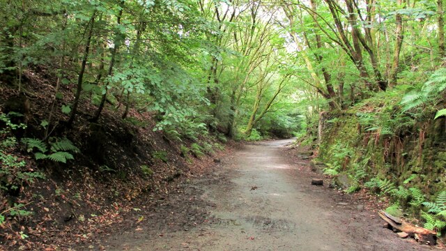
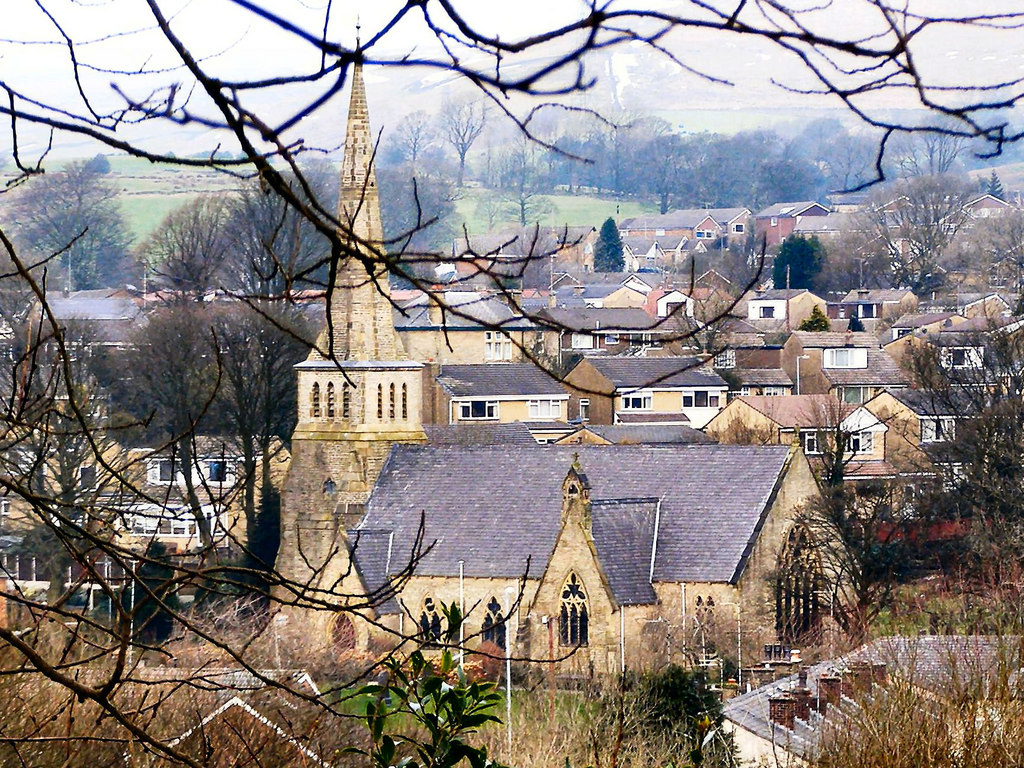
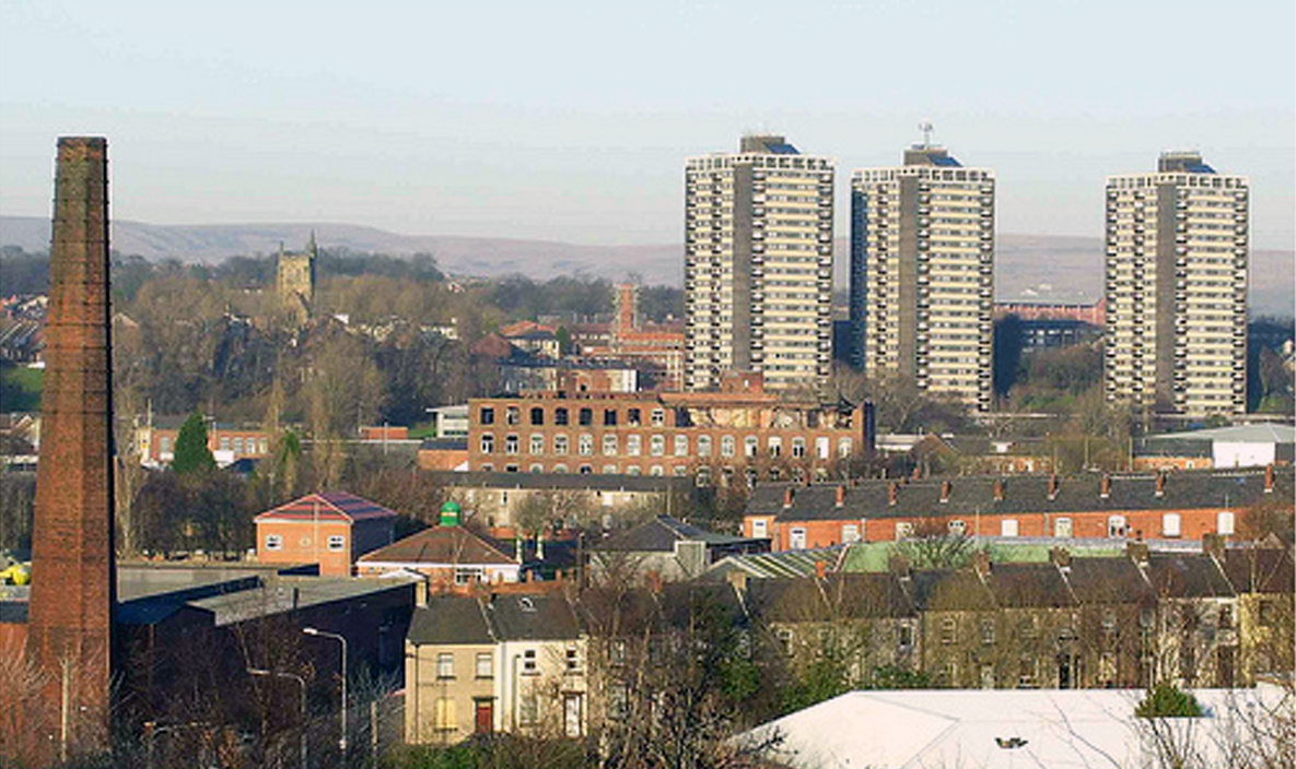
Bagslate Moor is a picturesque area located in Lancashire, England. Situated in the southern part of the county, it is part of the West Pennine Moors, a designated Area of Outstanding Natural Beauty. The moor is characterized by its rolling hills, peat bogs, and heather-clad landscapes, creating a stunning and diverse environment.

Covering an area of approximately 2,500 acres, Bagslate Moor is a haven for wildlife and nature enthusiasts. It is home to a variety of bird species, including the red grouse, curlew, and lapwing, making it a popular spot for birdwatching. The moor also boasts a rich flora, with heather dominating the landscape, interspersed with cotton grass, bilberry, and sphagnum moss.

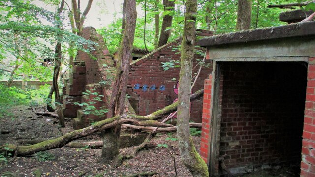
The area has a rich history, with evidence of human activity dating back centuries. Ancient cairns and stone circles can be found scattered across the moor, providing a glimpse into the area's past. Bagslate Moor was also historically used for peat extraction, with remnants of peat cuttings still visible.

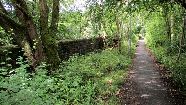
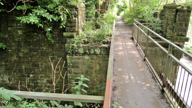
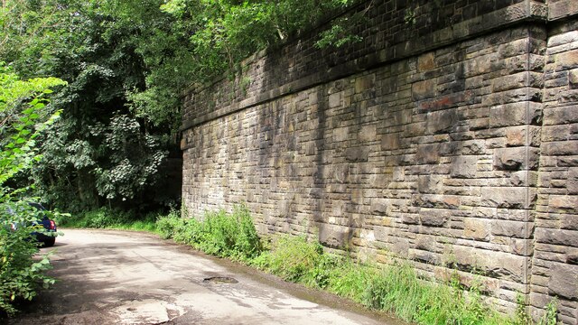
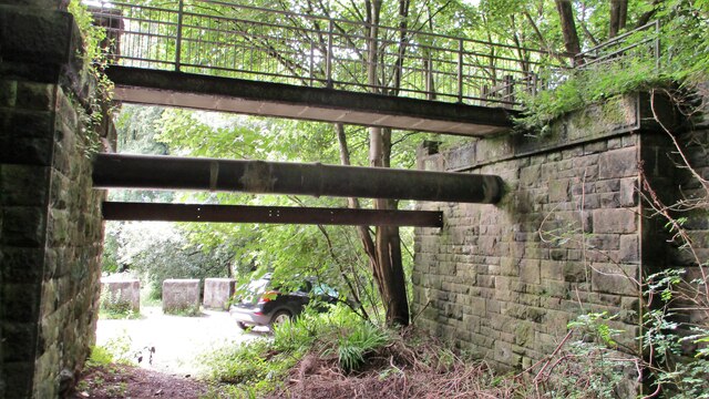
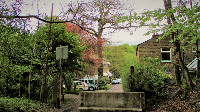
The moor is easily accessible, with several footpaths and trails crisscrossing the area. These paths offer visitors the opportunity to explore the moor's natural beauty on foot or by bike. The stunning panoramic views from the higher points of Bagslate Moor are particularly breathtaking, providing a sense of tranquility and escape from the hustle and bustle of everyday life.

Overall, Bagslate Moor is a captivating destination for nature lovers, history enthusiasts, and those seeking a peaceful retreat. Its unique landscapes, diverse wildlife, and rich history make it a must-visit location in Lancashire.

If you have any feedback on the listing, please let us know in the comments section below.

Bagslate Moor Images

Images are sourced within 2km of 53.62012/-2.198771 or Grid Reference SD8613. Thanks to Geograph Open Source API. All images are credited.

Former Rochdale to Bacup Railway Trackbed at Shawclough Start of trail on trackbed with Dell Road retaining wall to the left
Former Rochdale to Bacup Railway Trackbed at Shawclough
Start of trail on trackbed with Dell Road retaining wall to the left
Footbridge replacement for Railway Bridge at Shawclough View towards Rochdale over former Shawclough Station access road
Footbridge replacement for Railway Bridge at Shawclough
View towards Rochdale over former Shawclough Station access road
Retaining Wall for Railway on Dell Road Shawclough Retaining Wall for Rochdale to Bacup Railway, view North
Retaining Wall for Railway on Dell Road Shawclough
Retaining Wall for Rochdale to Bacup Railway, view North
Railway Bridge Abutments at Shawclough Station Access Road Footbridge has replaced original Railway Bridge. Concrete Block barriers stop vehicle entry to Woodland Road from Dell Road
Railway Bridge Abutments at Shawclough Station Access Road
Footbridge has replaced original Railway Bridge. Concrete Block barriers stop vehicle entry to Woodland Road from Dell Road
Former Rochdale to Bacup Railway Trackbed after Shawclough Adverse Gradient after heading North from the former Shawclough Station at Dell Road bridge
Former Rochdale to Bacup Railway Trackbed after Shawclough
Adverse Gradient after heading North from the former Shawclough Station at Dell Road bridge
Modern & WWII Pole Barriers Modern concrete block across Dell Road and WWII pole barrier still surviving from when the mill beyond was a munitions filling factory.
Modern & WWII Pole Barriers
Modern concrete block across Dell Road and WWII pole barrier still surviving from when the mill beyond was a munitions filling factory.
Former WWII Munitions Filling Factory Buildings What appears to be a blast wall is visible in this complex at Healey Hall Mill site
Former WWII Munitions Filling Factory Buildings
What appears to be a blast wall is visible in this complex at Healey Hall Mill site
Former Rochdale Corporation tramway offices, Mellor Street – 1 The main entrance, showing some very florid decorative terracotta. See <a title="https://www.geograph.org.uk/photo/7147788" href="https://www.geograph.org.uk/photo/7147788">Link</a>
Former Rochdale Corporation tramway offices, Mellor Street – 1
The main entrance, showing some very florid decorative terracotta. See Link
Former Rochdale Corporation tramway offices, Mellor Street – 2 Terracotta plaque above the entrance door. See <a title="https://www.geograph.org.uk/photo/7147788" href="https://www.geograph.org.uk/photo/7147788">Link</a> for location.
Former Rochdale Corporation tramway offices, Mellor Street – 2
Terracotta plaque above the entrance door. See Link for location.
Former Rochdale Corporation tramway offices, Mellor Street – 3 Central bay with entrance doorway and dated gable. See <a title="https://www.geograph.org.uk/photo/7147788" href="https://www.geograph.org.uk/photo/7147788">Link</a> for location.
Former Rochdale Corporation tramway offices, Mellor Street – 3
Central bay with entrance doorway and dated gable. See Link for location.
Former Rochdale Corporation tramway offices, Mellor Street – 4 Terracotta date plaque. See <a title="https://www.geograph.org.uk/photo/7147788" href="https://www.geograph.org.uk/photo/7147788">Link</a> for location.
Former Rochdale Corporation tramway offices, Mellor Street – 4
Terracotta date plaque. See Link for location.
Former Rochdale Corporation tramway offices, Mellor Street – 5 The main part of the offices, fronting Mellor Street. Built in 1904 soon after the local steam tramways had been taken over and electrified by the Corporation. The Corporation Transport was taken over in 1969 by Selnec which then became Greater Manchester Transport. In 1986 it was privatised as GM Buses. The Rochdale garage was closed in 1991 as a cost saving exercise and now houses a variety of businesses.
Former Rochdale Corporation tramway offices, Mellor Street – 5
The main part of the offices, fronting Mellor Street. Built in 1904 soon after the local steam tramways had been taken over and electrified by the Corporation. The Corporation Transport was taken over in 1969 by Selnec which then became Greater Manchester Transport. In 1986 it was privatised as GM Buses. The Rochdale garage was closed in 1991 as a cost saving exercise and now houses a variety of businesses.
Woodhouse Farm Yard An historic property, with ball finials even on walling to outbuildings
Woodhouse Farm Yard
An historic property, with ball finials even on walling to outbuildings
Norden Old Library An interesting building with a clock that works on Edenfield Road
Norden Old Library
An interesting building with a clock that works on Edenfield Road
Church of St James, Ashworth Beyond the church is the former Egerton Arms, no longer a public house
Church of St James, Ashworth
Beyond the church is the former Egerton Arms, no longer a public house
Cliffs by Naden Brook View from Lower Clough of a lost rock climber!
Cliffs by Naden Brook
View from Lower Clough of a lost rock climber!
Crimble Lane Near to the junction with Bury Road
Crimble Lane
Near to the junction with Bury Road
Former Bus Garage On Mellor Street which was based on the original tramway depot.
Former Bus Garage
On Mellor Street which was based on the original tramway depot.
Show me another place!

Bagslate Moor is located at Grid Ref: SD8613 (Lat: 53.62012, Lng: -2.198771)

Unitary Authority: Rochdale

Police Authority: Greater Manchester

What 3 Words

///verge.spine.sheet. Near Rochdale, Manchester

Nearby Locations

Bagslate Moor Bamford

Related Wikis

Oulder Hill Leadership Academy

Oulder Hill Leadership Academy (formerly Oulder Hill Community School) is a co-educational secondary school for 11- to 16-year-olds, located in Rochdale...

Bamford, Greater Manchester

Bamford is an affluent suburban area within the Metropolitan Borough of Rochdale, in Greater Manchester, England. Together with neighbouring Birtle, it...

Spotland Stadium

Spotland Stadium, known as the Crown Oil Arena for sponsorship reasons, is a multi-purpose sports stadium in the Spotland area of Rochdale, Greater Manchester...

Norden, Greater Manchester

Norden is a village in the Metropolitan Borough of Rochdale, in Greater Manchester, England. Historically part of Lancashire. The village is situated on...

Spotland

Spotland ( SPOT-land) is a district of Rochdale in Greater Manchester, England. The Rochdale ward name is Spotland and Falinge. The population of this...

Springfield Park (Rochdale)

Springfield Park is a large public park located between Rochdale and Heywood in Greater Manchester. Completed in 1927 on the former site of a 13th-century...

Shawclough and Healey railway station

Shawclough & Healey railway station served the townships of Shawclough and Healey in Rochdale, in the Metropolitan Borough of Rochdale in Greater Manchester...

Sudden Brook

Sudden Brook is a watercourse in Greater Manchester and a tributary of the River Roch. It originates in to the north of Royton, Oldham and flows Northwards...

Nearby Amenities

Located within 500m of 53.62012,-2.198771
Bagslate Moor
Created By: Potlatch 0.5a
Is In: Rochdale, Greater Manchester, England, UK
Place: suburb
Source: npe
Lat/Long: 53.6180425/-2.2053933
Mini Roundabout
Direction: clockwise
Lat/Long: 53.6223373/-2.1979359
Bus Stop
Moorland Avenue/Edenfield Road
Bus: yes
Naptan AtcoCode: 1800NE00581
Naptan Bearing: N
Naptan CommonName: Moorland Avenue/Edenfield Road
Naptan Indicator: Opp House 3
Naptan Landmark: OPP HOUSE 3
Naptan NaptanCode: mandwagm
Naptan PlusbusZoneRef: MNCRPIC
Naptan ShortCommonName: Edenfield Road
Naptan Street: Edenfield Road
Naptan Verified: no
Network: TfGM
Public Transport: platform
Source: naptan_import
Lat/Long: 53.6224317/-2.2003287
Bus Stop
Edenfield Road/St Vincent's School
Bus: yes
Naptan AtcoCode: 1800NE01561
Naptan Bearing: W
Naptan CommonName: Edenfield Road/St Vincent's School
Naptan Indicator: St Vincents School
Naptan Landmark: SCHOOL
Naptan NaptanCode: mandwdjt
Naptan Notes: INDICATOR AMENDED
Naptan PlusbusZoneRef: MNCRPIC
Naptan ShortCommonName: St Vincent's Scho
Naptan Street: EDENFIELD ROAD
Naptan Verified: no
Network: TfGM
Public Transport: platform
Source: naptan_import
Lat/Long: 53.6227183/-2.1955372
Bus Stop
Edenfield Road/Moorland Avenue
Bus: yes
Naptan AtcoCode: 1800NE48621
Naptan Bearing: W
Naptan CommonName: Edenfield Road/Moorland Avenue
Naptan Indicator: O/s House 501
Naptan Landmark: HOUSE 501
Naptan NaptanCode: mangdwad
Naptan PlusbusZoneRef: MNCRPIC
Naptan ShortCommonName: Moorland Avenue
Naptan Street: Edenfield Rad
Naptan Verified: no
Network: TfGM
Public Transport: platform
Source: naptan_import
Lat/Long: 53.6225501/-2.1997806
Bus Stop
Edenfield Road/Moorland Avenue
Bus: yes
Naptan AtcoCode: 1800NE48631
Naptan Bearing: E
Naptan CommonName: Edenfield Road/Moorland Avenue
Naptan Indicator: O/s House 594
Naptan Landmark: HOUSE 594
Naptan NaptanCode: mangdwag
Naptan PlusbusZoneRef: MNCRPIC
Naptan ShortCommonName: Moorland Avenue
Naptan Street: EDENFIELD ROAD
Naptan Verified: no
Network: TfGM
Public Transport: platform
Source: naptan_import
Lat/Long: 53.6227562/-2.1998313
Bus Stop
Edenfield Road/St Vincents School
Bus: yes
Naptan AtcoCode: 1800NE48661
Naptan Bearing: E
Naptan CommonName: Edenfield Road/St Vincents School
Naptan Indicator: Op Golf Club
Naptan Landmark: SCHOOL
Naptan NaptanCode: mangdwaj
Naptan PlusbusZoneRef: MNCRPIC
Naptan ShortCommonName: St Vincents Schl
Naptan Street: EDENFIELD ROAD
Naptan Verified: no
Network: TfGM
Public Transport: platform
Source: naptan_import
Lat/Long: 53.6225944/-2.1943574
Bus Stop
Edenfield Road/Moorland Terrace
Bus: yes
Naptan AtcoCode: 1800NE48671
Naptan Bearing: W
Naptan CommonName: Edenfield Road/Moorland Terrace
Naptan Indicator: Nr House 421
Naptan Landmark: HOUSE 421
Naptan NaptanCode: mangdwam
Naptan PlusbusZoneRef: MNCRPIC
Naptan ShortCommonName: Moorland Terrace
Naptan Street: EDENFIELD ROAD
Naptan Verified: no
Network: TfGM
Public Transport: platform
Source: naptan_import
Lat/Long: 53.6226768/-2.1934052
Bus Stop
Bagslate Moor Road/Clay Lane
Bus: yes
Naptan AtcoCode: 1800NE25911
Naptan Bearing: NE
Naptan CommonName: Bagslate Moor Road/Clay Lane
Naptan Indicator: Opp House 57
Naptan Landmark: HOUSE 57
Naptan NaptanCode: mangatgw
Naptan PlusbusZoneRef: MNCRPIC
Naptan ShortCommonName: Clay Lane
Naptan Street: BAGSLATE MOOR R
Naptan Verified: no
Network: TfGM
Public Transport: platform
Source: naptan_import
Lat/Long: 53.6201533/-2.2029334
Bus Stop
Bagslate Moor Road/Clay Lane
Bus: yes
Naptan AtcoCode: 1800NE25921
Naptan Bearing: SW
Naptan CommonName: Bagslate Moor Road/Clay Lane
Naptan Indicator: O/s House 55
Naptan Landmark: HOUSE 55
Naptan NaptanCode: mangatja
Naptan PlusbusZoneRef: MNCRPIC
Naptan ShortCommonName: Clay Lane
Naptan Street: BAGSLATE MOOR R
Naptan Verified: no
Network: TfGM
Public Transport: platform
Source: naptan_import
Lat/Long: 53.6203985/-2.2027295
Bus Stop
Bagslate Moor Road/Edenfield Road
Bus: yes
Naptan AtcoCode: 1800NE25931
Naptan Bearing: W
Naptan CommonName: Bagslate Moor Road/Edenfield Road
Naptan Indicator: Opp Service Stn
Naptan Landmark: Standrings House
Naptan NaptanCode: mangatjd
Naptan PlusbusZoneRef: MNCRPIC
Naptan ShortCommonName: Edenfield Road
Naptan Street: Bagslate Moor Rd
Naptan Verified: no
Network: TfGM
Public Transport: platform
Source: naptan_import
Lat/Long: 53.6219509/-2.1976201
Place Of Worship
St Vincent de Paul RC Church
Addr City: Rochdale
Addr Housename: St Vincent de Paul RC Church
Addr Postcode: OL12 6BU
Addr Street: Caldershaw Road
Denomination: roman_catholic
Religion: christian
Source: OS_OpenData_StreetView
Lat/Long: 53.623599/-2.1968909
Mini Roundabout
Direction: clockwise
Source: Bing
Lat/Long: 53.6222567/-2.1971292
Generator Method: photovoltaic
Generator Output Electricity: yes
Generator Source: solar
Generator Type: solar_photovoltaic_panel
Location: roof
Power: generator
Lat/Long: 53.6210139/-2.205858
Noexit: yes
Lat/Long: 53.6217832/-2.1949464
Noexit: yes
Lat/Long: 53.6224626/-2.1940319
Noexit: yes
Lat/Long: 53.6224211/-2.194263
Noexit: yes
Lat/Long: 53.6220561/-2.1946053
The data included in this document is from www.openstreetmap.org. The data is made available under ODbL.

Have you been to Bagslate Moor?

Leave your review of Bagslate Moor below (or comments, questions and feedback).