Aish Ridge

Hill, Mountain in Devon South Hams

England

Aish Ridge

Field, Downstow Looking left from <a href="https://www.geograph.org.uk/photo/7275064">SX6962 : Lane from Downstow to Gingaford Cross</a>. The farm buildings on the left are at Lower Downstow.
Field, Downstow Credit: Derek Harper

Aish Ridge is a prominent hill located in the county of Devon, in southwestern England. Standing at an elevation of approximately 400 meters (1,300 feet), it is considered one of the highest points in the region. The ridge is situated in the Dartmoor National Park, a vast expanse of moorland known for its rugged beauty and rich natural heritage.

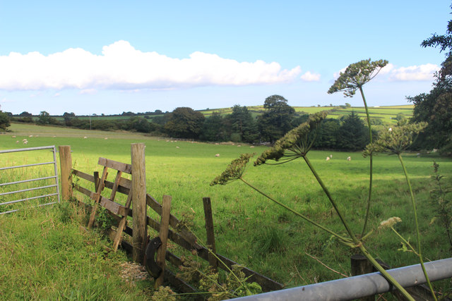
Aish Ridge is part of the wider Dartmoor granite massif, which was formed over 280 million years ago during the Carboniferous period. The hill is characterized by its steep slopes and rocky terrain, providing a challenging landscape for hikers and climbers. The ridge offers breathtaking panoramic views of the surrounding countryside, including the nearby tors, valleys, and rivers.

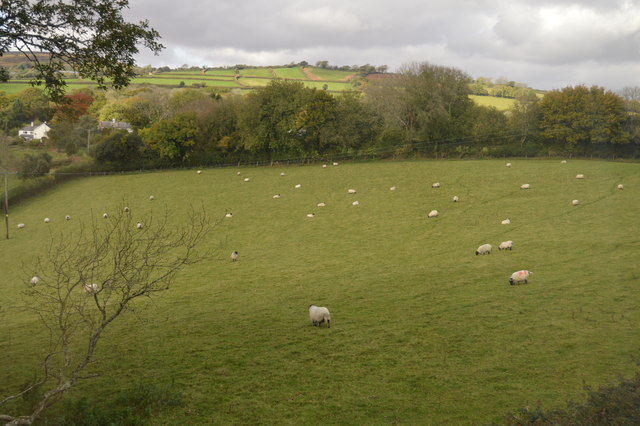
The hill is also home to a diverse range of flora and fauna. The lower slopes are covered in heather and gorse, while higher up, visitors can find scattered clumps of hardy grasses and mosses. Aish Ridge provides a habitat for various bird species, including skylarks and meadow pipits, as well as occasional sightings of birds of prey, such as kestrels and buzzards.

Access to Aish Ridge is facilitated by a network of footpaths and trails, allowing outdoor enthusiasts to explore the area and take in its natural beauty. The hill attracts visitors throughout the year, with activities ranging from hiking and rock climbing to birdwatching and photography. Aish Ridge, with its stunning vistas and diverse ecosystem, offers a memorable experience for nature lovers and adventurers alike.

If you have any feedback on the listing, please let us know in the comments section below.
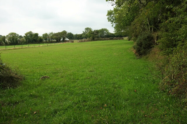
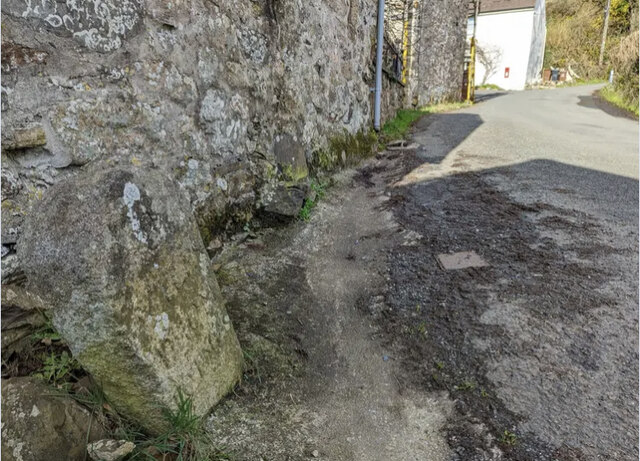
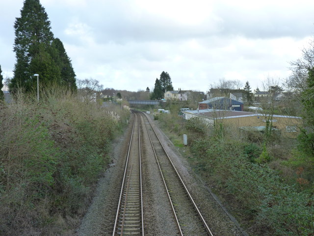
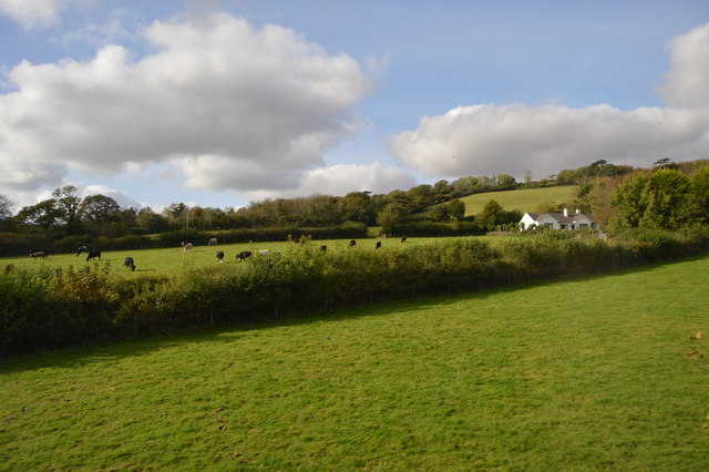
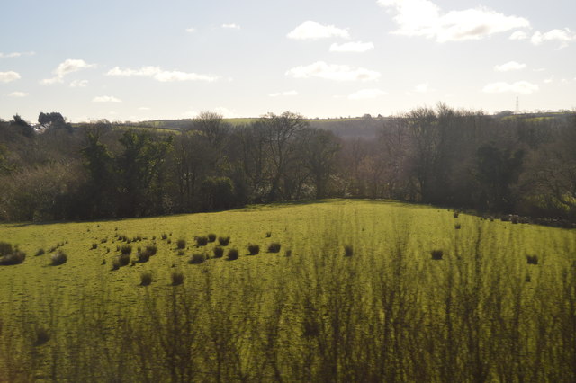
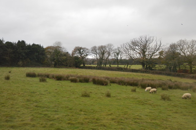
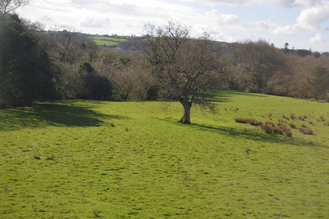
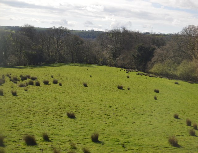
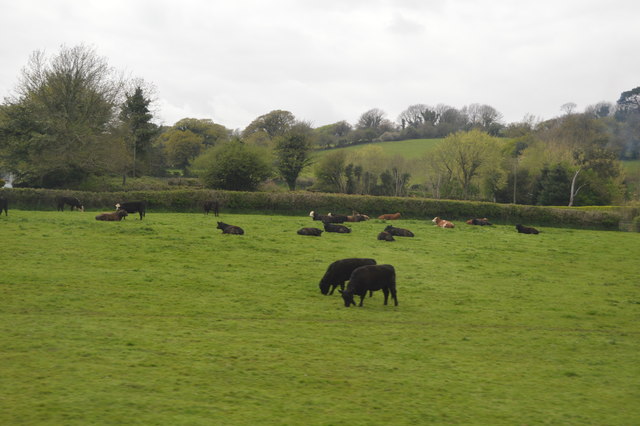
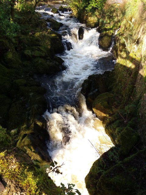
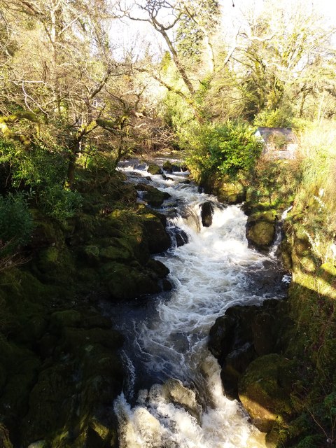
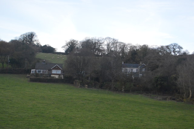
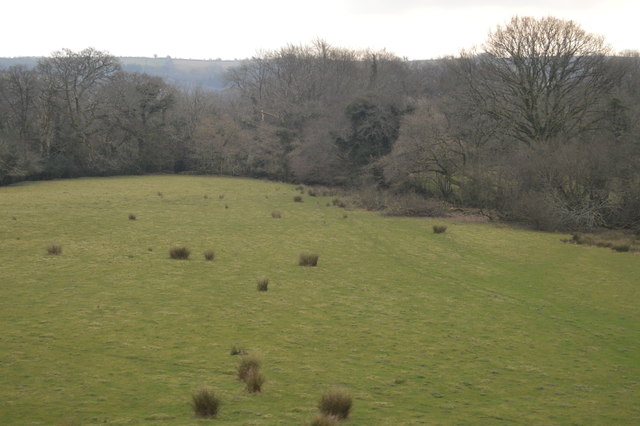
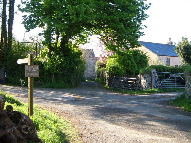
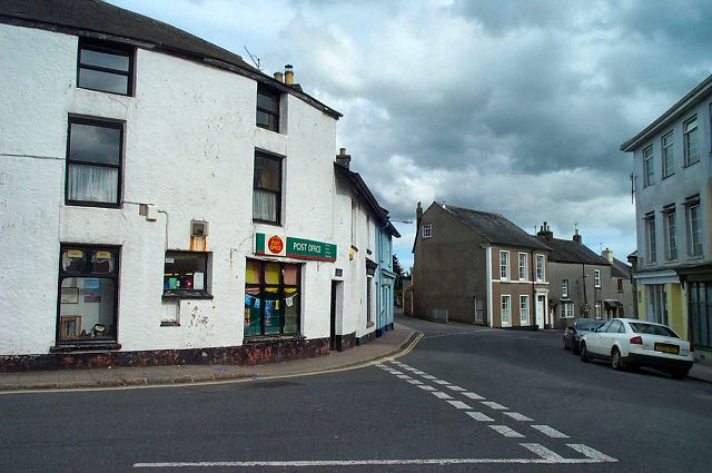
Aish Ridge Images

Images are sourced within 2km of 50.434499/-3.8566651 or Grid Reference SX6861. Thanks to Geograph Open Source API. All images are credited.

Field, Downstow Looking left from <a href="https://www.geograph.org.uk/photo/7275064">SX6962 : Lane from Downstow to Gingaford Cross</a>. The farm buildings on the left are at Lower Downstow.
Field, Downstow
Looking left from SX6962 : Lane from Downstow to Gingaford Cross. The farm buildings on the left are at Lower Downstow.
Old Milestone in Aish village, South Brent Carved stone post by the UC road, in parish of South Brent (South Hams District), Aish, centre of village, by "Long Barn", opposite "Treeby", 15m South of telephone/post box, on grass verge by gate to Long Barn, on South West side of road. Small granite tombstone, erected by the parish in the 19th century.

Inscription reads:-
8
MILES
FROM
TOTNES

Milestone Society National ID: DV_TNAI08
Old Milestone in Aish village, South Brent
Carved stone post by the UC road, in parish of South Brent (South Hams District), Aish, centre of village, by "Long Barn", opposite "Treeby", 15m South of telephone/post box, on grass verge by gate to Long Barn, on South West side of road. Small granite tombstone, erected by the parish in the 19th century. Inscription reads:- 8 MILES FROM TOTNES Milestone Society National ID: DV_TNAI08
View towards the site of the old Brent Station This view changed fairly recently with the demolition of the old signal box.  It deserved a better fate.
View towards the site of the old Brent Station
This view changed fairly recently with the demolition of the old signal box. It deserved a better fate.
Sheep grazing
Sheep grazing
Farmland near South Brent
Ordnance Survey 1G Bolt This OS Bolt can be found on the west face of St Petroc's Church. It marks a point 121.1732m above mean sea level.
Ordnance Survey 1G Bolt
This OS Bolt can be found on the west face of St Petroc's Church. It marks a point 121.1732m above mean sea level.
Farmland near South Brent
Pasture near Downstow
Wall by the ford at Shipley Bridge There isn't much water about today and the ford isn't over the road. The fields here are the last before 
the unfenced moorland begins.
Wall by the ford at Shipley Bridge
There isn't much water about today and the ford isn't over the road. The fields here are the last before the unfenced moorland begins.
Marshy patch at Shipley Bridge Right on the edge of Dartmoor proper here. Facing this way it's green fields and woods but just behind me are the gorse and bracken covered slopes of the unfenced moorland.
Marshy patch at Shipley Bridge
Right on the edge of Dartmoor proper here. Facing this way it's green fields and woods but just behind me are the gorse and bracken covered slopes of the unfenced moorland.
Rough grazing
Rough grazing
Single tree
Single tree
Rough grazing
Rough grazing
Cattle
Cattle
South Brent: the Avon above Lydia Bridge A good flow of water after heavy rains: surplus from the Avon dam
South Brent: the Avon above Lydia Bridge
A good flow of water after heavy rains: surplus from the Avon dam
South Brent: above Lydia Bridge The Avon in full flow
South Brent: above Lydia Bridge
The Avon in full flow
Houses on Ash Lane
Houses on Ash Lane
Pasture, South Brent
Show me another place!

Aish Ridge is located at Grid Ref: SX6861 (Lat: 50.434499, Lng: -3.8566651)

Administrative County: Devon

District: South Hams

Police Authority: Devon and Cornwall

What 3 Words

///interest.fund.immune. Near South Brent, Devon

Related Wikis

Nearby Amenities

Located within 500m of 50.434499,-3.8566651
The data included in this document is from www.openstreetmap.org. The data is made available under ODbL.

Have you been to Aish Ridge?

Leave your review of Aish Ridge below (or comments, questions and feedback).