Badworthy

Settlement in Devon South Hams

England

Badworthy

Old Milestone in Aish village, South Brent Carved stone post by the UC road, in parish of South Brent (South Hams District), Aish, centre of village, by "Long Barn", opposite "Treeby", 15m South of telephone/post box, on grass verge by gate to Long Barn, on South West side of road. Small granite tombstone, erected by the parish in the 19th century.

Inscription reads:-
8
MILES
FROM
TOTNES

Milestone Society National ID: DV_TNAI08
Old Milestone in Aish village, South Brent Credit: Max Piper

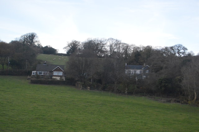
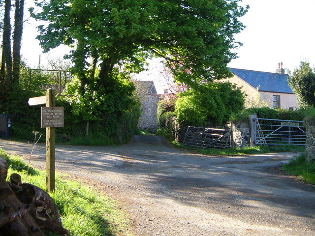
Badworthy is a small rural village located in the county of Devon, England. Situated in the South West region of the country, Badworthy is nestled within the picturesque rolling hills and meadows that characterize the Devonshire countryside. The village is part of the local government district of West Devon.

With a population of approximately 300 residents, Badworthy is known for its close-knit community and tranquil atmosphere. The village is predominantly residential, consisting of a cluster of charming cottages and larger family homes. The local architecture reflects a mix of traditional styles, providing a glimpse into the village's rich history.

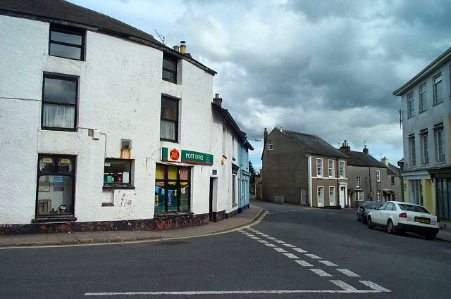
Despite its small size, Badworthy offers several amenities to its residents. The village boasts a primary school, a community hall, and a quaint village pub that serves as a social hub for locals. Additionally, there are a few small businesses, including a convenience store and a post office, which cater to the daily needs of residents.

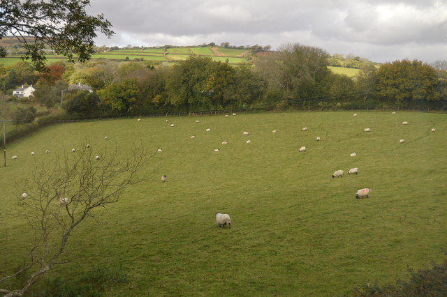
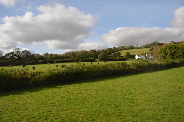
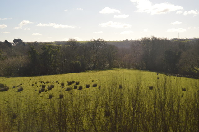
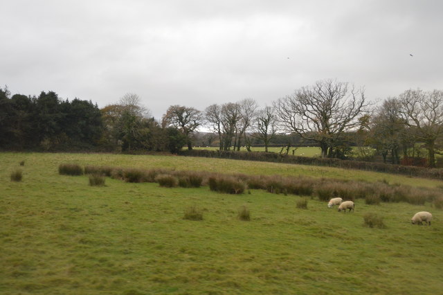
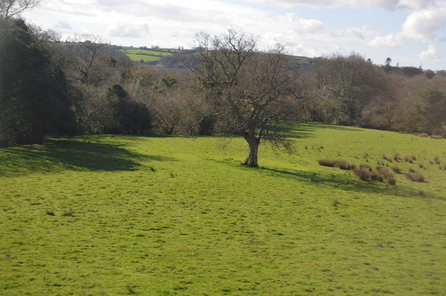
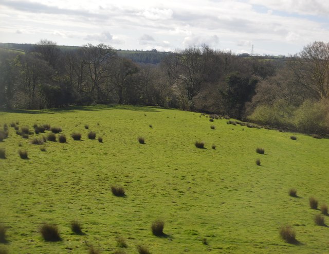
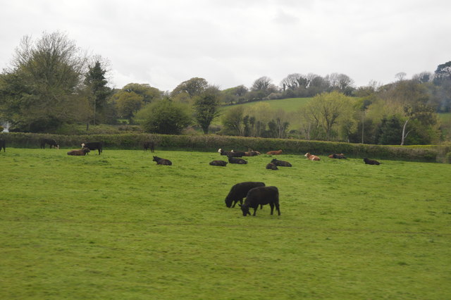
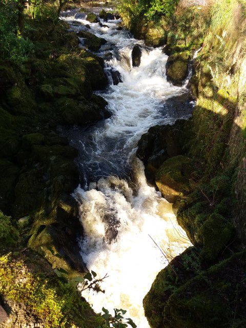
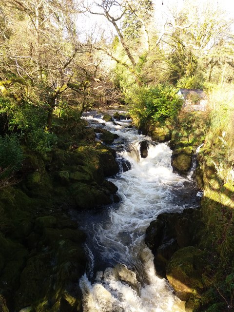
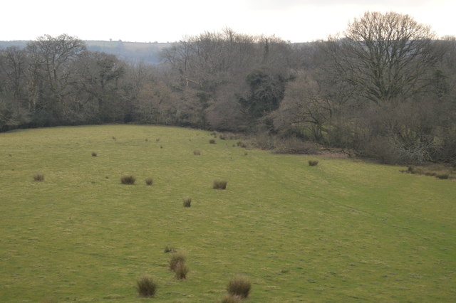
The surrounding natural beauty of Badworthy attracts nature enthusiasts and outdoor lovers. The village is surrounded by lush green fields, woodland areas, and picturesque walking trails, providing ample opportunities for hiking, cycling, and exploring the countryside.

Overall, Badworthy offers a peaceful and idyllic setting for those seeking a quieter way of life. Its rural charm, strong community spirit, and beautiful natural surroundings make it an appealing place to call home in the heart of Devon.

If you have any feedback on the listing, please let us know in the comments section below.
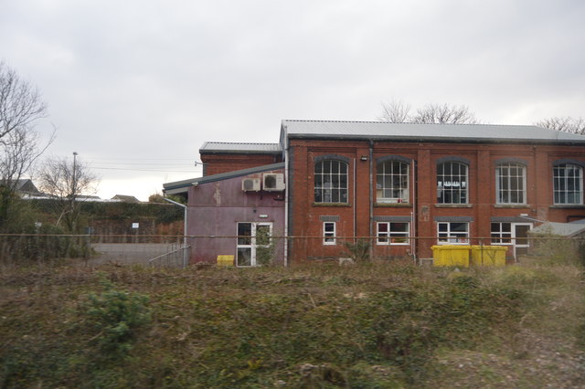
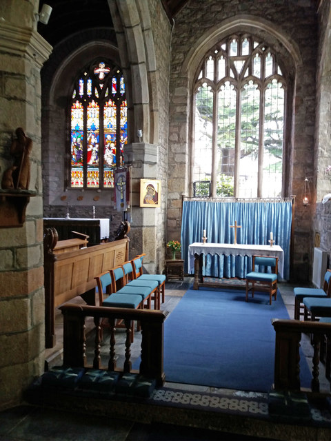
Badworthy Images

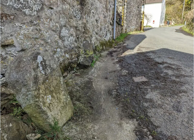
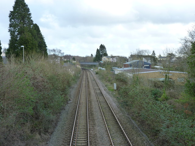
Images are sourced within 2km of 50.43397/-3.8599958 or Grid Reference SX6861. Thanks to Geograph Open Source API. All images are credited.

Old Milestone in Aish village, South Brent Carved stone post by the UC road, in parish of South Brent (South Hams District), Aish, centre of village, by "Long Barn", opposite "Treeby", 15m South of telephone/post box, on grass verge by gate to Long Barn, on South West side of road. Small granite tombstone, erected by the parish in the 19th century.

Inscription reads:-
8
MILES
FROM
TOTNES

Milestone Society National ID: DV_TNAI08
Old Milestone in Aish village, South Brent
Carved stone post by the UC road, in parish of South Brent (South Hams District), Aish, centre of village, by "Long Barn", opposite "Treeby", 15m South of telephone/post box, on grass verge by gate to Long Barn, on South West side of road. Small granite tombstone, erected by the parish in the 19th century. Inscription reads:- 8 MILES FROM TOTNES Milestone Society National ID: DV_TNAI08
View towards the site of the old Brent Station This view changed fairly recently with the demolition of the old signal box.  It deserved a better fate.
View towards the site of the old Brent Station
This view changed fairly recently with the demolition of the old signal box. It deserved a better fate.
Sheep grazing
Sheep grazing
Farmland near South Brent
Ordnance Survey 1G Bolt This OS Bolt can be found on the west face of St Petroc's Church. It marks a point 121.1732m above mean sea level.
Ordnance Survey 1G Bolt
This OS Bolt can be found on the west face of St Petroc's Church. It marks a point 121.1732m above mean sea level.
Farmland near South Brent
Wall by the ford at Shipley Bridge There isn't much water about today and the ford isn't over the road. The fields here are the last before 
the unfenced moorland begins.
Wall by the ford at Shipley Bridge
There isn't much water about today and the ford isn't over the road. The fields here are the last before the unfenced moorland begins.
Marshy patch at Shipley Bridge Right on the edge of Dartmoor proper here. Facing this way it's green fields and woods but just behind me are the gorse and bracken covered slopes of the unfenced moorland.
Marshy patch at Shipley Bridge
Right on the edge of Dartmoor proper here. Facing this way it's green fields and woods but just behind me are the gorse and bracken covered slopes of the unfenced moorland.
Rough grazing
Rough grazing
Single tree
Single tree
Rough grazing
Rough grazing
Cattle
Cattle
South Brent: the Avon above Lydia Bridge A good flow of water after heavy rains: surplus from the Avon dam
South Brent: the Avon above Lydia Bridge
A good flow of water after heavy rains: surplus from the Avon dam
South Brent: above Lydia Bridge The Avon in full flow
South Brent: above Lydia Bridge
The Avon in full flow
Houses on Ash Lane
Houses on Ash Lane
Pasture, South Brent
Trackside works, South Brent
South Brent: St Petroc's Church View from the south aisle, with the chancel to the left
South Brent: St Petroc's Church
View from the south aisle, with the chancel to the left
Show me another place!

Badworthy is located at Grid Ref: SX6861 (Lat: 50.43397, Lng: -3.8599958)

Administrative County: Devon

District: South Hams

Police Authority: Devon and Cornwall

What 3 Words

///gems.pokes.loser. Near South Brent, Devon

Related Wikis

Badworthy

Badworthy is a village in Devon, England.

Aish, South Brent

Aish is a relatively small hamlet in the English county of Devon. It is near the large village of South Brent. This Aish is not to be confused with the...

Lutton, South Brent

Lutton is a small farming hamlet on the outskirts of South Brent, Devon, England. It is a hillside community on the side of Brent Hill. It is only a small...

South Brent

South Brent is a large village on the southern edge of Dartmoor, England, in the valley of the River Avon. The parish includes the small hamlets of Aish...

Glazebrook House, South Brent

Glazebrook House is a building of historical significance in South Brent, Devon. Part of the house was built in about 1650 and was successively added to...

Brent Hill

Brent Hill is the site of an Iron Age hill fort situated close to South Brent in Devon, England. The fort occupies the top of Brent Hill at approx 311...

Butterdon Hill

Butterdon Hill is on Dartmoor, in southwest England. The remains of a small stone circle and a stone row can be found on the summit. The name Butterdon...

Yellowberries Copse

Yellowberries Copse is an Iron Age enclosure, or possibly hill fort situated South of South Brent in Devon, England. The fort is situated on the North...

Nearby Amenities

Located within 500m of 50.43397,-3.8599958
The data included in this document is from www.openstreetmap.org. The data is made available under ODbL.

Have you been to Badworthy?

Leave your review of Badworthy below (or comments, questions and feedback).