Back Fell
Hill, Mountain in Kirkcudbrightshire
Scotland
Back Fell
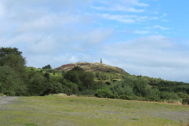
Back Fell is a prominent hill located in the region of Kirkcudbrightshire, in southern Scotland. With an elevation of approximately 406 meters (1,332 feet), it is considered a notable landmark in the area. The hill is situated in a rural and picturesque setting, offering breathtaking views of the surrounding countryside.
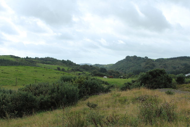
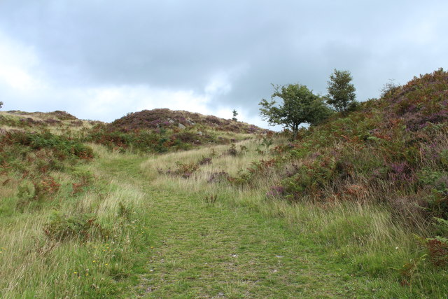
Back Fell is characterized by its gently sloping terrain, covered in heather and grass, which provides a rich habitat for various wildlife species. The hill is home to a diverse range of flora and fauna, including rare plants and bird species. Its tranquil and untouched environment makes it an ideal destination for nature enthusiasts and hikers.
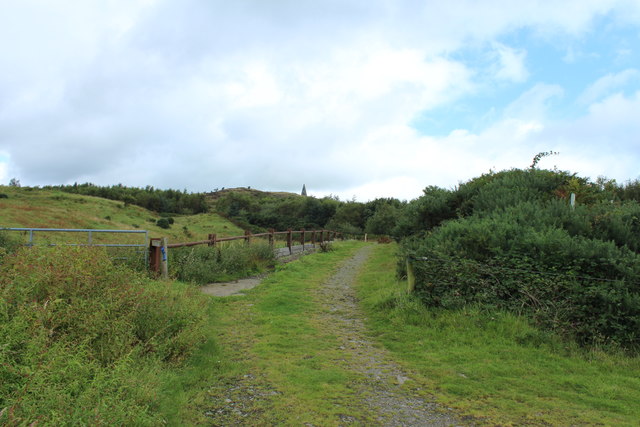
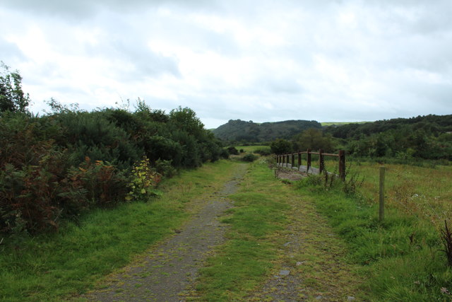
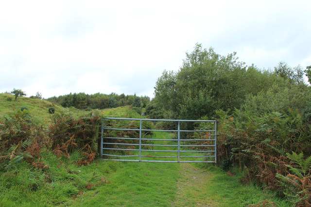
The ascent to the summit of Back Fell is relatively straightforward, with a well-defined path leading to the top. From the peak, visitors are rewarded with panoramic vistas of the rolling hills, lush valleys, and sparkling rivers of Kirkcudbrightshire. On clear days, it is even possible to catch glimpses of the distant coastline.
Back Fell is also surrounded by a network of footpaths and trails, allowing visitors to explore the wider area. Nearby attractions include ancient ruins, historic sites, and quaint villages. The hill offers a peaceful and serene retreat from the hustle and bustle of everyday life, providing a chance to reconnect with nature and enjoy the tranquility of the Scottish countryside.
If you have any feedback on the listing, please let us know in the comments section below.
Back Fell Images
Images are sourced within 2km of 54.920311/-4.0574336 or Grid Reference NX6860. Thanks to Geograph Open Source API. All images are credited.


Back Fell is located at Grid Ref: NX6860 (Lat: 54.920311, Lng: -4.0574336)
Unitary Authority: Dumfries and Galloway
Police Authority: Dumfries and Galloway
What 3 Words
///arose.recruited.spelling. Near Castle Douglas, Dumfries & Galloway
Nearby Locations
Related Wikis

Ringford
Ringford is a village in the historical county of Kirkcudbrightshire in Dumfries and Galloway located at grid reference NX689578 beside the Tarff Water...

Tarff railway station
Tarff railway station served the village of Ringford, Dumfries and Galloway, Scotland from 1864 to 1965 on the Kirkcudbright Railway. == History == The...

Bridge of Dee railway station
Bridge of Dee railway station served the settlement of Bridge of Dee, Dumfries and Galloway, Scotland from 1864 to 1949 on the Kirkcudbright Railway....

Bridge of Dee, Galloway
Bridge of Dee, Galloway is a settlement on the River Dee, Galloway. It lies on the A75 just west of Castle Douglas, and north-east of Kirkcudbright. The...
Nearby Amenities
Located within 500m of 54.920311,-4.0574336Have you been to Back Fell?
Leave your review of Back Fell below (or comments, questions and feedback).