Barstobrick Hill
Hill, Mountain in Kirkcudbrightshire
Scotland
Barstobrick Hill
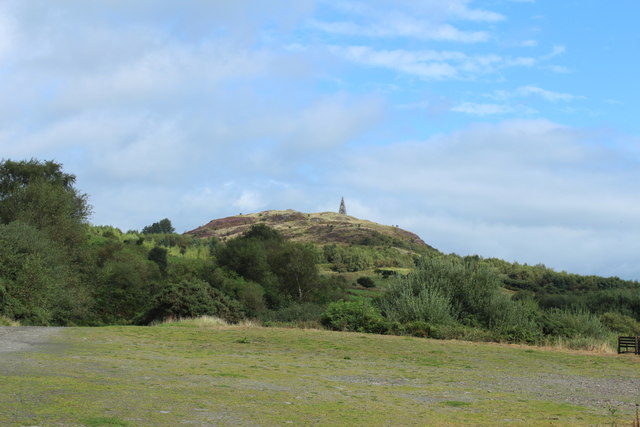
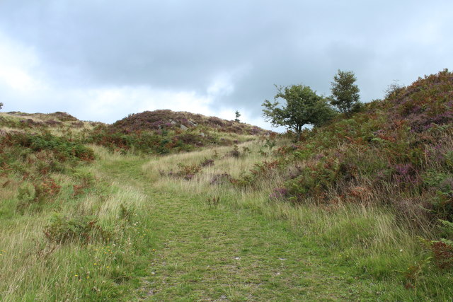
Barstobrick Hill is a prominent hill located in the Kirkcudbrightshire region of Scotland. Rising to an elevation of 287 meters (942 feet), it offers spectacular panoramic views of the surrounding countryside and is a popular destination for hikers and nature enthusiasts.
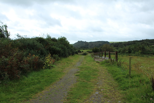
Situated near the town of Dalbeattie, Barstobrick Hill is characterized by its gentle slopes and lush green landscape. The hill is mainly composed of granite, which gives it a distinctive appearance and provides a challenging terrain for outdoor activities.
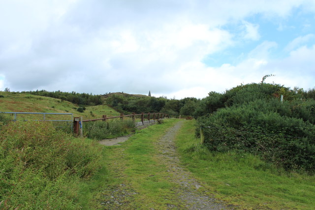
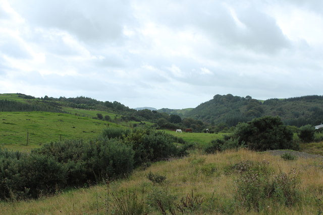
The hill is home to a diverse range of flora and fauna, making it an important site for conservation. The lower slopes are covered in a mixture of woodland and grassland, while the higher reaches are mostly heather-covered moorland. This varied habitat supports a wide array of plant species, including heather, bracken, gorse, and various wildflowers.
Birdwatchers will also find Barstobrick Hill a haven, as it is home to numerous species of birds, such as buzzards, kestrels, and peregrine falcons. The hill provides an excellent vantage point for observing these majestic creatures in flight.
In addition to its natural beauty, Barstobrick Hill has historical significance. The remains of an Iron Age hillfort can still be seen on its summit, offering a glimpse into the region's ancient past.
Overall, Barstobrick Hill is a captivating destination that combines stunning natural scenery, ecological diversity, and historical intrigue. Whether seeking adventure or tranquility, visitors are sure to find something to suit their interests on this picturesque hill.
If you have any feedback on the listing, please let us know in the comments section below.
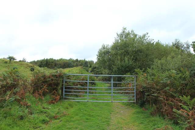
Barstobrick Hill Images
Images are sourced within 2km of 54.924754/-4.050856 or Grid Reference NX6860. Thanks to Geograph Open Source API. All images are credited.


Barstobrick Hill is located at Grid Ref: NX6860 (Lat: 54.924754, Lng: -4.050856)
Unitary Authority: Dumfries and Galloway
Police Authority: Dumfries and Galloway
What 3 Words
///outs.voter.thighs. Near Castle Douglas, Dumfries & Galloway
Nearby Locations
Related Wikis

Ringford
Ringford is a village in the historical county of Kirkcudbrightshire in Dumfries and Galloway located at grid reference NX689578 beside the Tarff Water...

Tarff railway station
Tarff railway station served the village of Ringford, Dumfries and Galloway, Scotland from 1864 to 1965 on the Kirkcudbright Railway. == History == The...

Bridge of Dee railway station
Bridge of Dee railway station served the settlement of Bridge of Dee, Dumfries and Galloway, Scotland from 1864 to 1949 on the Kirkcudbright Railway....

Bridge of Dee, Galloway
Bridge of Dee, Galloway is a settlement on the River Dee, Galloway. It lies on the A75 just west of Castle Douglas, and north-east of Kirkcudbright. The...
Nearby Amenities
Located within 500m of 54.924754,-4.050856Have you been to Barstobrick Hill?
Leave your review of Barstobrick Hill below (or comments, questions and feedback).