Bamber's Green
Settlement in Essex Uttlesford
England
Bamber's Green
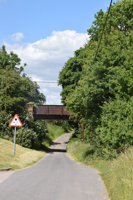
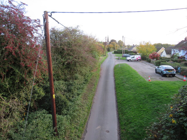
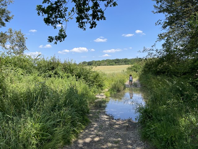
Bamber's Green is a small village located in the county of Essex, England. Situated near the town of Harlow, Bamber's Green is known for its picturesque countryside and tranquil atmosphere. The village is surrounded by lush green fields and rolling hills, creating a serene and idyllic setting.
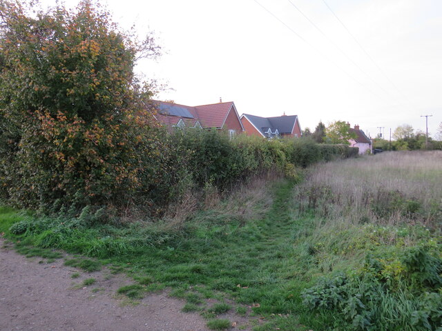
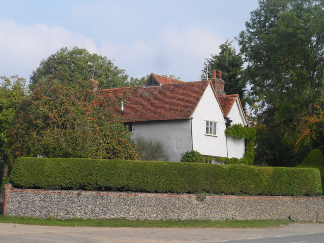
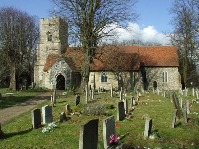
The village itself is comprised of a handful of residential properties, with a population of around 200 inhabitants. The architecture in Bamber's Green is predominantly traditional, with charming cottages and period houses dotting the landscape. The village is proud of its rich history, with some buildings dating back several centuries.
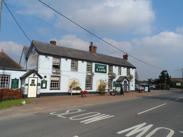
Despite its small size, Bamber's Green offers a sense of community and a range of amenities for its residents. The village has a local pub, The Green Man, which serves as a popular meeting place for locals and visitors alike. Additionally, there is a village hall that hosts various social events and activities throughout the year.
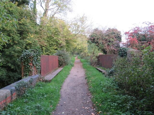
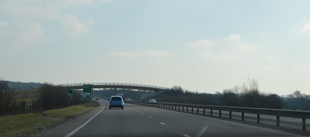
Surrounded by beautiful countryside, Bamber's Green provides ample opportunities for outdoor activities. The village is located near several nature reserves and walking trails, making it a popular destination for hikers and nature enthusiasts. The nearby River Stort offers opportunities for fishing and boating as well.
Although Bamber's Green may be small, its charm and natural beauty make it an attractive place to live or visit. With its peaceful ambiance and close-knit community, the village provides a welcome escape from the hustle and bustle of city life.
If you have any feedback on the listing, please let us know in the comments section below.
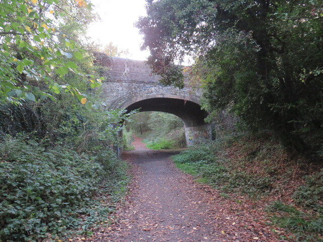
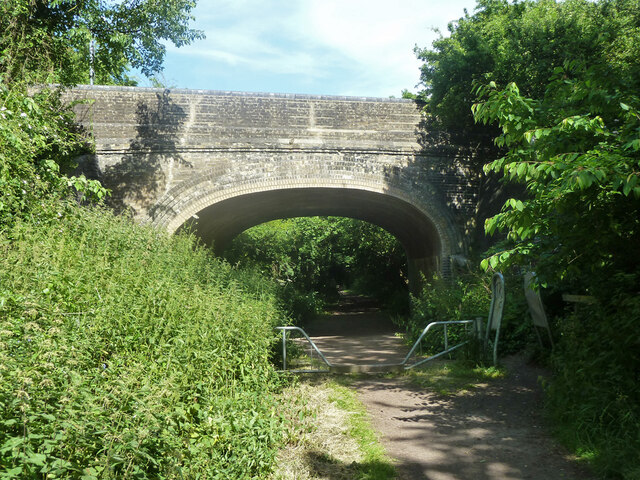
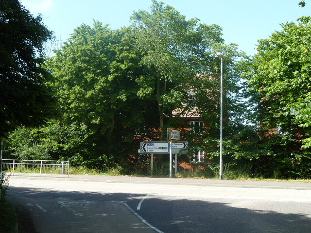
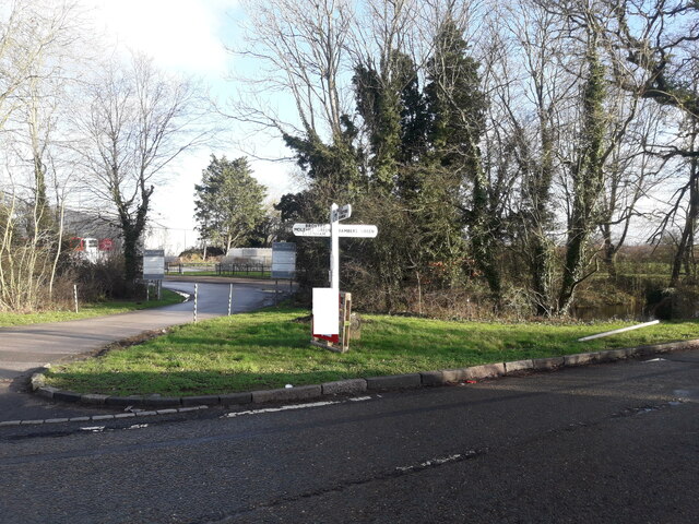
Bamber's Green Images
Images are sourced within 2km of 51.88139/0.291248 or Grid Reference TL5722. Thanks to Geograph Open Source API. All images are credited.
Bamber's Green is located at Grid Ref: TL5722 (Lat: 51.88139, Lng: 0.291248)
Administrative County: Essex
District: Uttlesford
Police Authority: Essex
What 3 Words
///weeds.prepares.uncle. Near Takeley, Essex
Nearby Locations
Related Wikis
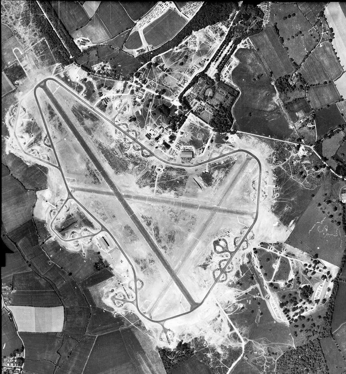
RAF Great Dunmow
Royal Air Force Great Dunmow or more simply RAF Great Dunmow is a former Royal Air Force station in the parish of Little Easton, Essex, England. The airfield...

Bamber's Green
Bamber's Green is a hamlet in Essex, England. It is located near to Molehill Green and close to London Stansted Airport. The hamlet has approximately 20...

Easton Lodge
Easton Lodge was a Victorian Gothic style stately home in Little Easton and north-west of Great Dunmow, Essex, England. Once famous for its weekend society...

Takeley Priory
Takeley Priory, dedicated to Saint Valery, was a Benedictine monastery in Takeley, Essex, England, founded by William the Conqueror between 1066 and 1086...

Stansted Airport railway station
Stansted Airport railway station is on a branch line off the West Anglia Main Line in the East of England and was opened in 1991 to provide a rail link...
Takeley
Takeley is a village and civil parish in the Uttlesford district of Essex, England. == History == A number of theories have arisen over the origin of the...

Takeley railway station
Takeley railway station was a station serving the Hockerill area of Takeley in Bishop's Stortford, England. The station was 5 miles 11 chains (8.27 km...

Molehill Green
Molehill Green is a hamlet in Takeley parish in Essex, England, close to the perimeter of London Stansted Airport, The hamlet consists of approximately...
Nearby Amenities
Located within 500m of 51.88139,0.291248Have you been to Bamber's Green?
Leave your review of Bamber's Green below (or comments, questions and feedback).