Fanns Wood

Wood, Forest in Essex Uttlesford

England

Fanns Wood

Class 170 Multiple Unit at Stansted Airport
Class 170 Multiple Unit at Stansted Airport Credit: David Robinson

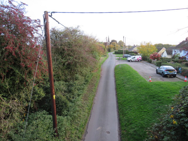
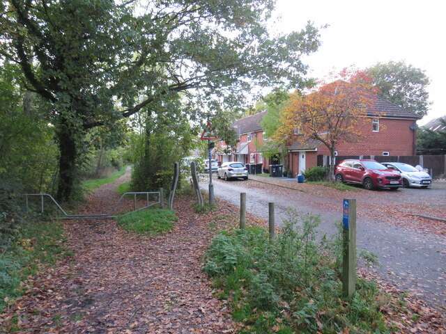
Fanns Wood is a charming woodland area located in the county of Essex, England. Situated near the town of Billericay, this forested haven covers an area of approximately 42 hectares. The wood is known for its serene and picturesque surroundings, making it a popular destination for nature enthusiasts and walkers.

Fanns Wood boasts a diverse range of tree species, including oak, birch, beech, and sweet chestnut. The dense foliage creates a lush and vibrant environment, attracting a variety of wildlife. Visitors may spot common woodland creatures such as deer, foxes, and rabbits, as well as an array of bird species, including woodpeckers and owls.

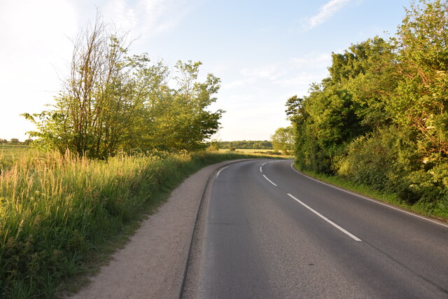
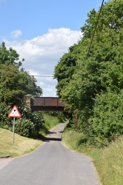
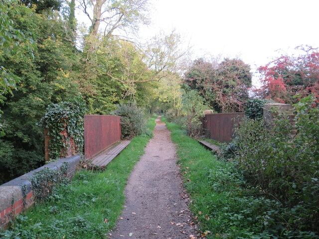
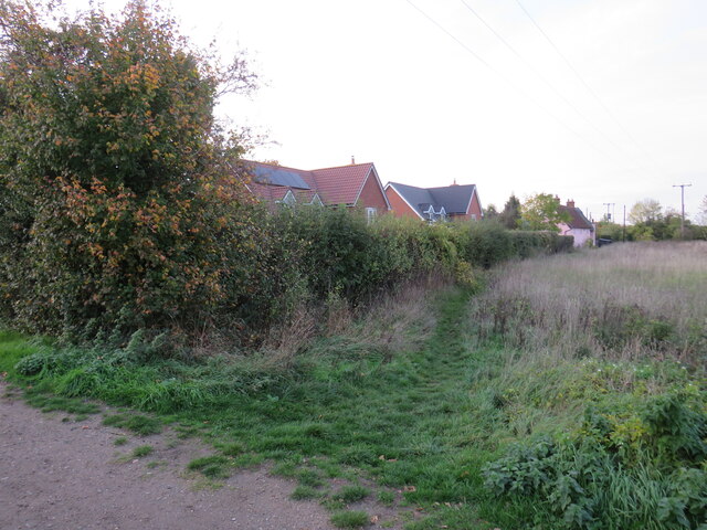
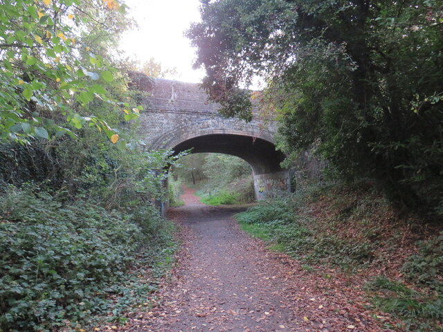
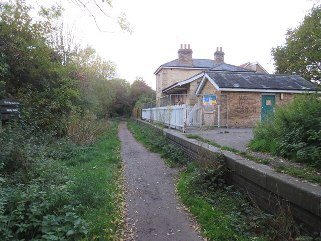
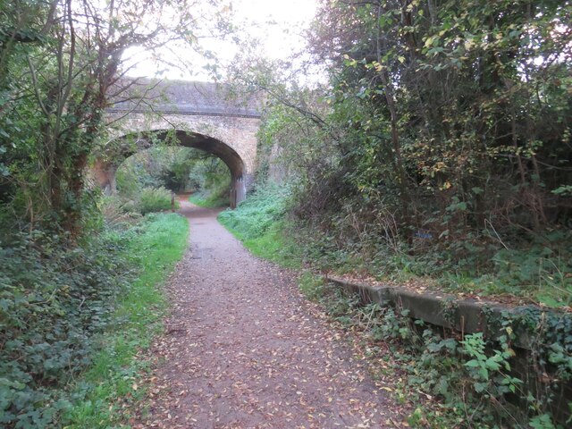
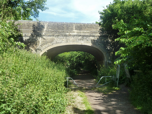
The wood is crisscrossed with a network of well-maintained footpaths and trails, allowing visitors to explore its natural beauty at their own pace. These paths wind through the trees, offering glimpses of enchanting clearings and tranquil ponds along the way. The wood is also intersected by the Hanningfield Reservoir, providing stunning views and opportunities for wildlife spotting.

Fanns Wood is a designated Site of Special Scientific Interest (SSSI), recognized for its ecological importance. The woodland is home to a rich diversity of plant life, including rare and protected species. The management of the wood is carefully overseen to maintain and enhance its biodiversity.

Overall, Fanns Wood offers a delightful escape from the hustle and bustle of urban life. Its idyllic setting, abundant wildlife, and well-maintained trails make it a perfect destination for those seeking a peaceful and immersive woodland experience.

If you have any feedback on the listing, please let us know in the comments section below.
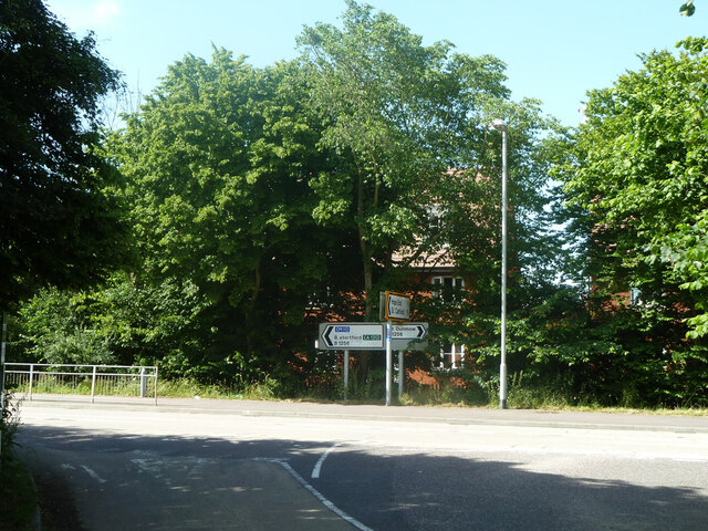
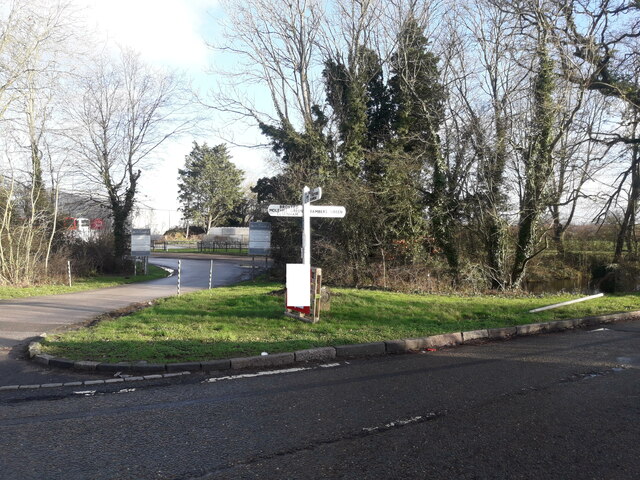
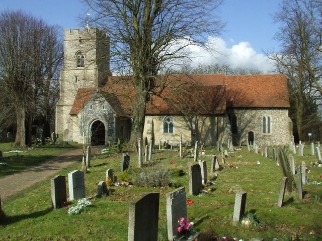
Fanns Wood Images

Images are sourced within 2km of 51.878667/0.28475632 or Grid Reference TL5722. Thanks to Geograph Open Source API. All images are credited.

Class 170 Multiple Unit at Stansted Airport
Near Le Knell's Cottage On the lane between Stansted Airport and Takeley.
Near Le Knell's Cottage
On the lane between Stansted Airport and Takeley.
Crossroads in Takeley The public house on the corner is The Four Ashes.
Crossroads in Takeley
The public house on the corner is The Four Ashes.
Railway bridge at Little Canfield The bridge over Church Lane once carried a railway which is now the route of the Flitch Way out of Great Dunmow.
Railway bridge at Little Canfield
The bridge over Church Lane once carried a railway which is now the route of the Flitch Way out of Great Dunmow.
The Four Ashes Public house in Takeley.
The Four Ashes
Public house in Takeley.
Church Lane, Little Canfield, near Great Dunmow Little Canfield is a small village in north Essex.

This view was taken from Flitch Way, which follows the route of a dismantled railway.  Here, the path uses a former railway bridge to pass over Church Lane.  The church spire is visible in the background.
Church Lane, Little Canfield, near Great Dunmow
Little Canfield is a small village in north Essex. This view was taken from Flitch Way, which follows the route of a dismantled railway. Here, the path uses a former railway bridge to pass over Church Lane. The church spire is visible in the background.
Flitch Way at Little Canfield, near Great Dunmow A view eastwards along Flitch Way at Little Canfield.  Here, a former railway bridge takes the path across a minor road.
Flitch Way at Little Canfield, near Great Dunmow
A view eastwards along Flitch Way at Little Canfield. Here, a former railway bridge takes the path across a minor road.
Public footpath, Takeley, near Bishop's Stortford A public footpath on the edge of the village of Takeley in north Essex.
Public footpath, Takeley, near Bishop's Stortford
A public footpath on the edge of the village of Takeley in north Essex.
Flitch Way, Takeley, near Bishop's Stortford Flitch Way passing through the village of Takeley in north Essex.  The bridge carrying a road over the path is a clear sign that the path is a former railway line.
Flitch Way, Takeley, near Bishop's Stortford
Flitch Way passing through the village of Takeley in north Essex. The bridge carrying a road over the path is a clear sign that the path is a former railway line.
Flitch Way, Takeley, near Bishop's Stortford Flitch Way entering the site of Takeley railway station.  A modern housing development occupies the site of the former railway goods yard.

This image was taken on a late October day.  Leaves were turning autumnal shades of golden yellow and falling from the trees as the winter months were approaching.
Flitch Way, Takeley, near Bishop's Stortford
Flitch Way entering the site of Takeley railway station. A modern housing development occupies the site of the former railway goods yard. This image was taken on a late October day. Leaves were turning autumnal shades of golden yellow and falling from the trees as the winter months were approaching.
Takeley railway station The former railway station at Takeley, in north Essex.  The station closed to passengers in 1952.  The building is currently disused.  The former railway line is now a walking and cycling path, Flitch Way.
Takeley railway station
The former railway station at Takeley, in north Essex. The station closed to passengers in 1952. The building is currently disused. The former railway line is now a walking and cycling path, Flitch Way.
Flitch Way, Takeley, near Bishop's Stortford This image of Flitch Way was taken from the site of Takeley railway station.  The end of the station platform is visible to the right of the image.  The bridge ahead carries a road across the former railway line.
Flitch Way, Takeley, near Bishop's Stortford
This image of Flitch Way was taken from the site of Takeley railway station. The end of the station platform is visible to the right of the image. The bridge ahead carries a road across the former railway line.
Bridge over old railway, Takeley Great Canfield Road crosses the former Bishop's Stortford - Braintree line. Most of the railway route is now used by the Flitch Way trail.
Bridge over old railway, Takeley
Great Canfield Road crosses the former Bishop's Stortford - Braintree line. Most of the railway route is now used by the Flitch Way trail.
Road junction, Takeley Great Canfield Road meets Dunmow Road, B1256.
Road junction, Takeley
Great Canfield Road meets Dunmow Road, B1256.
Crossroad sign
Crossroad sign
Radisson Blu Hotel, Stansted Airport Radisson Blu is one of several hotels at Stansted Airport.  This image was taken on a very cold January morning in 2023.
Radisson Blu Hotel, Stansted Airport
Radisson Blu is one of several hotels at Stansted Airport. This image was taken on a very cold January morning in 2023.
Van in Car Park, The Four Ashes, Takeley, Essex
The Four Ashes, Takeley, Essex The Four Ashes is in the centre of Takeley.
The Four Ashes, Takeley, Essex
The Four Ashes is in the centre of Takeley.
Show me another place!

Fanns Wood is located at Grid Ref: TL5722 (Lat: 51.878667, Lng: 0.28475632)

Administrative County: Essex

District: Uttlesford

Police Authority: Essex

What 3 Words

///cocoons.rewarded.jolly. Near Takeley, Essex

Nearby Locations

Fanns Wood Bamber's Green

Related Wikis

Bamber's Green

Bamber's Green is a hamlet in Essex, England. It is located near to Molehill Green and close to London Stansted Airport. The hamlet has approximately 20...

Takeley Priory

Takeley Priory, dedicated to Saint Valery, was a Benedictine monastery in Takeley, Essex, England, founded by William the Conqueror between 1066 and 1086...

Takeley

Takeley is a village and civil parish in the Uttlesford district of Essex, England. == History == A number of theories have arisen over the origin of the...

RAF Great Dunmow

Royal Air Force Great Dunmow or more simply RAF Great Dunmow is a former Royal Air Force station in the parish of Little Easton, Essex, England. The airfield...

Takeley railway station

Takeley railway station was a station serving the Hockerill area of Takeley in Bishop's Stortford, England. The station was 5 miles 11 chains (8.27 km...

Takeley F.C.

Takeley Football Club is an English football club based in Takeley, Essex. The club are currently members of the Essex Senior League and play at Station...

The Christian School, Takeley

The Christian School (Takeley) is an independent Christian school located in Takeley, Bishop's Stortford, Essex. The school caters for children of 7 through...

Stansted Airport railway station

Stansted Airport railway station is on a branch line off the West Anglia Main Line in the East of England and was opened in 1991 to provide a rail link...

Nearby Amenities

Located within 500m of 51.878667,0.28475632
Parking
Parking: street_side
Lat/Long: 51.877212/0.2884495
Power: pole
Source: Bing
Lat/Long: 51.8749891/0.2885632
Power: pole
Source: Bing
Lat/Long: 51.8758105/0.2885347
Power: pole
Source: Bing
Lat/Long: 51.876627/0.2885103
Power: pole
Source: Bing
Lat/Long: 51.8768229/0.2885103
Power: pole
Source: Bing
Lat/Long: 51.8768728/0.2884666
Power: pole
Source: Bing
Lat/Long: 51.8769033/0.2900525
Power: pole
Source: Bing
Lat/Long: 51.8769366/0.2866586
Power: pole
Source: Bing
Lat/Long: 51.8769934/0.2801411
Power: pole
Source: Bing
Lat/Long: 51.8770037/0.2848591
Power: pole
Source: Bing
Lat/Long: 51.877033/0.2816087
Power: pole
Source: Bing
Lat/Long: 51.8770847/0.2830762
Power: pole
Lat/Long: 51.8769513/0.2786145
The data included in this document is from www.openstreetmap.org. The data is made available under ODbL.

Have you been to Fanns Wood?

Leave your review of Fanns Wood below (or comments, questions and feedback).