Harrison's Wood
Wood, Forest in Essex Uttlesford
England
Harrison's Wood

Harrison's Wood is a picturesque forest located in Essex, England. Spanning over a vast area of land, this woodland is renowned for its natural beauty and diverse wildlife. The forest is named after the Harrison family, who have owned and maintained the wood for generations.
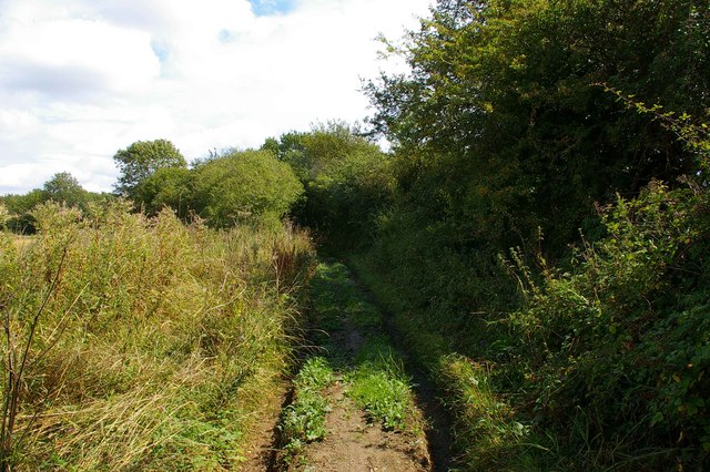
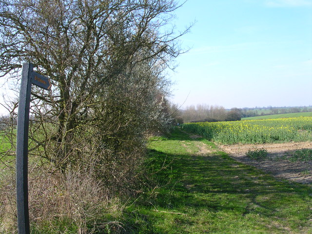
Harrison's Wood is characterized by its dense canopy of trees, which mainly consists of oak, beech, and ash. The towering trees create a serene and tranquil atmosphere, making it a popular destination for nature enthusiasts and hikers. The forest floor is covered with a thick carpet of ferns, bluebells, and wildflowers, adding to its enchanting appeal.
The woodland is home to a wide variety of wildlife. Birdwatchers can spot various species such as woodpeckers, owls, and warblers, while deer and rabbits roam freely throughout the forest. Squirrels can be seen darting through the trees, gathering nuts and acorns for the winter months.
There are several well-marked trails that wind through Harrison's Wood, providing visitors with the opportunity to explore its natural wonders. These paths cater to different hiking abilities, making it accessible for all ages and fitness levels. Along the way, informative signposts educate visitors about the forest's history and the importance of conservation.
Harrison's Wood is a cherished natural treasure in Essex, offering a peaceful retreat from the hustle and bustle of everyday life. Its rich biodiversity and stunning landscapes make it a must-visit destination for anyone seeking a connection with nature.
If you have any feedback on the listing, please let us know in the comments section below.
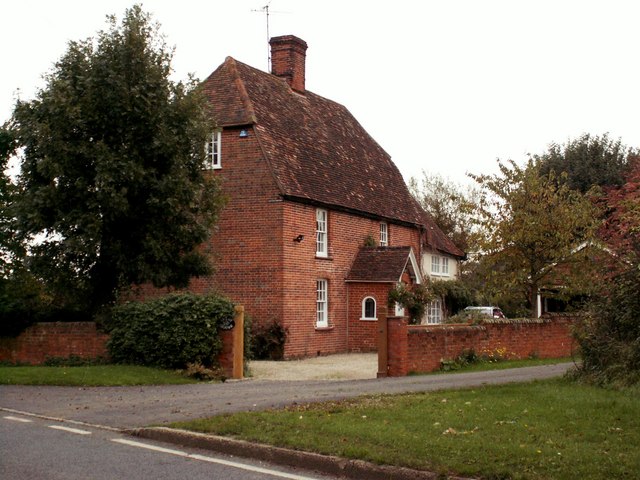
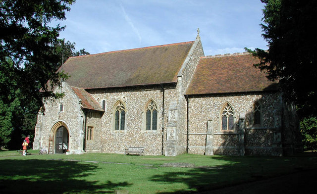
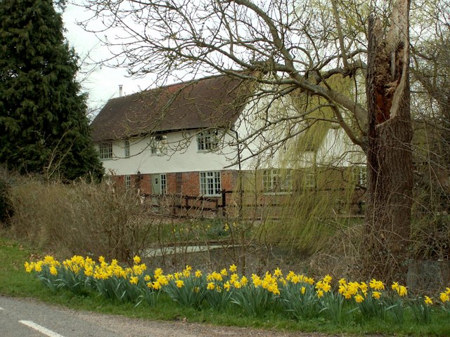
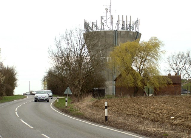
Harrison's Wood Images
Images are sourced within 2km of 52.0015/0.29097818 or Grid Reference TL5736. Thanks to Geograph Open Source API. All images are credited.


Harrison's Wood is located at Grid Ref: TL5736 (Lat: 52.0015, Lng: 0.29097818)
Administrative County: Essex
District: Uttlesford
Police Authority: Essex
What 3 Words
///yesterday.imparting.residual. Near Saffron Walden, Essex
Nearby Locations
Related Wikis

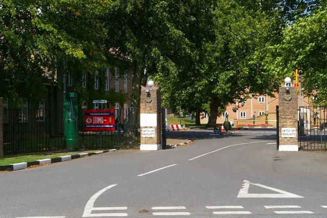
Carver Barracks
Carver Barracks is a British Army base on the former site of RAF Debden, approximately 1 mile north of the village of Debden, in Essex. The nearest town...

Wimbish
Wimbish is a village and civil parish within Uttlesford, in Essex, England. The first recorded mention of the village was in 1042, when it was referred...

RAF Debden
Royal Air Force Debden or more simply RAF Debden is a former Royal Air Force station located 3 miles (4.8 km) southeast of Saffron Walden and approximately...

Sewards End
Sewards End is a village and civil parish in the Uttlesford district of Essex, England. Its area is 1211 acres. It is set in the rolling countryside...

Debden, Uttlesford
Debden is a small rural village in the Uttlesford district of Essex in the East of England. It is located 4 miles (6 km) from Saffron Walden and 17 miles...
Debden Windmill
Debden Windmill is a grade II listed Tower mill at Debden, Essex, England which has been converted to residential use. == History == Debden Windmill was...
Acrow Halt railway station
Acrow Halt was a railway station on the Saffron Walden Railway. Located at the north-eastern edge of Saffron Walden, Essex, the station was close to the...

Radwinter
Radwinter is a village and a civil parish on the B1053 road, in the Uttlesford district of the county of Essex, England. The population in the 2011 census...
Nearby Amenities
Located within 500m of 52.0015,0.29097818Have you been to Harrison's Wood?
Leave your review of Harrison's Wood below (or comments, questions and feedback).