Cole End
Settlement in Essex Uttlesford
England
Cole End

Cole End is a small village located in the county of Essex, in the southeastern part of England. Situated in the district of Uttlesford, Cole End is nestled within the picturesque countryside and is surrounded by vibrant green fields and rolling hills. The village is situated approximately 10 miles northeast of the bustling town of Saffron Walden and about 15 miles southwest of Cambridge.
With a population of around 400 residents, Cole End maintains a tight-knit community atmosphere. The village primarily comprises traditional English cottages and houses, which contribute to its charming and idyllic ambiance. The architecture of the buildings reflects a mix of traditional and modern styles, blending seamlessly with the natural beauty of the surrounding landscape.
Despite its small size, Cole End offers a range of amenities that cater to the needs of its residents. These include a local primary school, a village hall, and a community center. The village also boasts a well-maintained cricket pitch, which serves as a gathering point for sports enthusiasts during the summer months.
The village is well-connected to the surrounding areas via a network of roads and public transportation. Cole End provides easy access to nearby towns and cities, making it an ideal location for commuters. Additionally, the village's proximity to the countryside allows residents to enjoy outdoor activities such as hiking, cycling, and horse riding.
Overall, Cole End is a serene and picturesque village that offers a peaceful and rural lifestyle to its residents, while still providing convenient access to nearby urban areas.
If you have any feedback on the listing, please let us know in the comments section below.
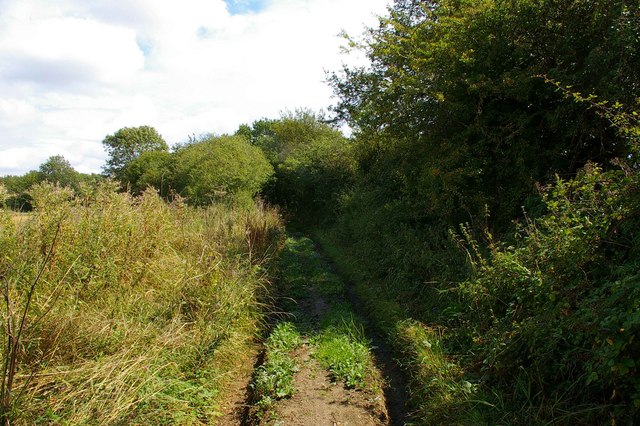
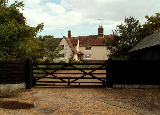
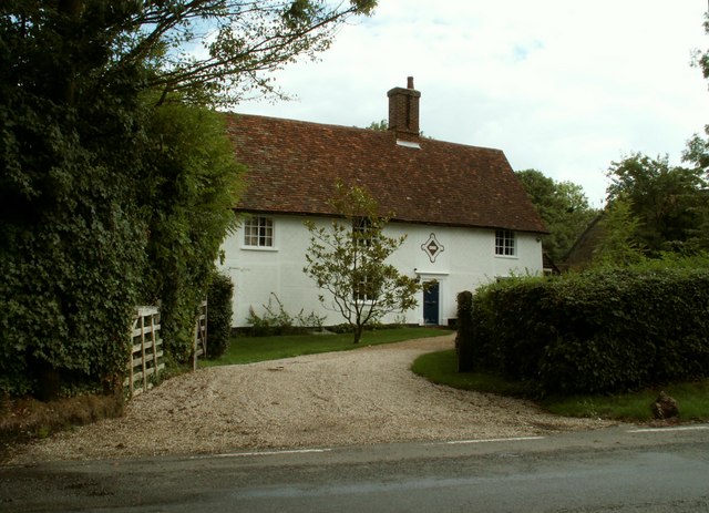
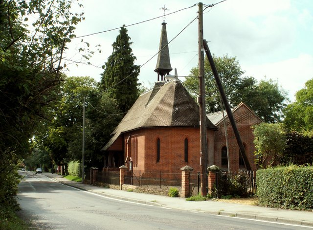
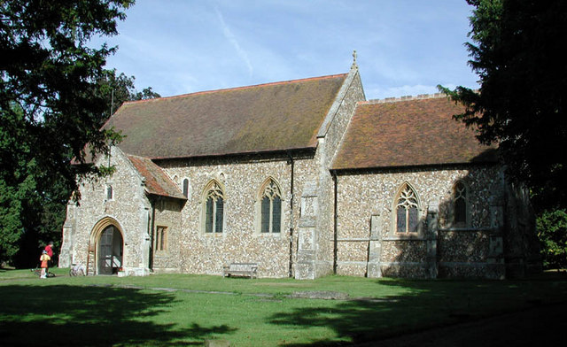
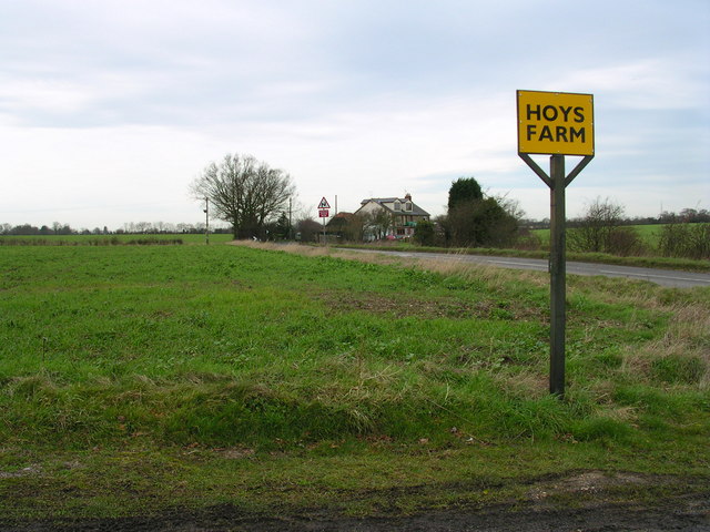
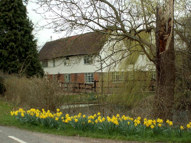
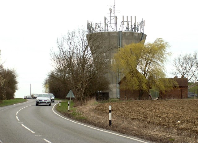
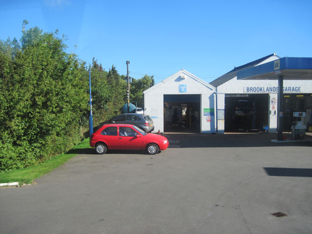
Cole End Images
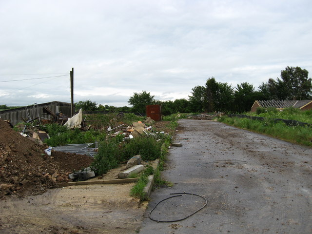
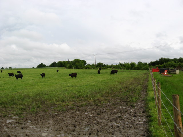
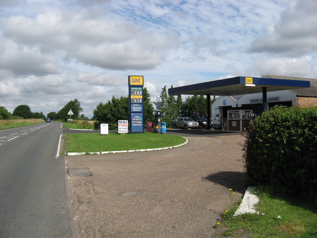
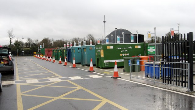
Images are sourced within 2km of 52.006462/0.287433 or Grid Reference TL5736. Thanks to Geograph Open Source API. All images are credited.


Cole End is located at Grid Ref: TL5736 (Lat: 52.006462, Lng: 0.287433)
Administrative County: Essex
District: Uttlesford
Police Authority: Essex
What 3 Words
///listening.locker.took. Near Saffron Walden, Essex
Nearby Locations
Related Wikis

Sewards End
Sewards End is a village and civil parish in the Uttlesford district of Essex, England. Its area is 1211 acres. It is set in the rolling countryside...

RAF Debden
Royal Air Force Debden or more simply RAF Debden is a former Royal Air Force station located 3 miles (4.8 km) southeast of Saffron Walden and approximately...

Carver Barracks
Carver Barracks is a British Army base on the former site of RAF Debden, approximately 1 mile north of the village of Debden, in Essex. The nearest town...

Wimbish
Wimbish is a village and civil parish within Uttlesford, in Essex, England. The first recorded mention of the village was in 1042, when it was referred...

Acrow Halt railway station
Acrow Halt was a railway station on the Saffron Walden Railway. Located at the north-eastern edge of Saffron Walden, Essex, the station was close to the...
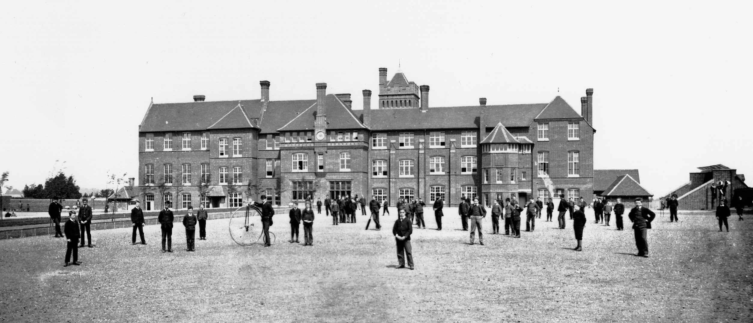
Saffron Walden Grammar School
Saffron Walden Free Grammar School (or Saffron Walden Grammar School) was a school in the Essex town of Saffron Walden, which for over four hundred years...
Friends' School, Saffron Walden
Friends' School (known as Walden School from 2016–17) was a Quaker independent school located in Saffron Walden, Essex, situated approximately 12 miles...
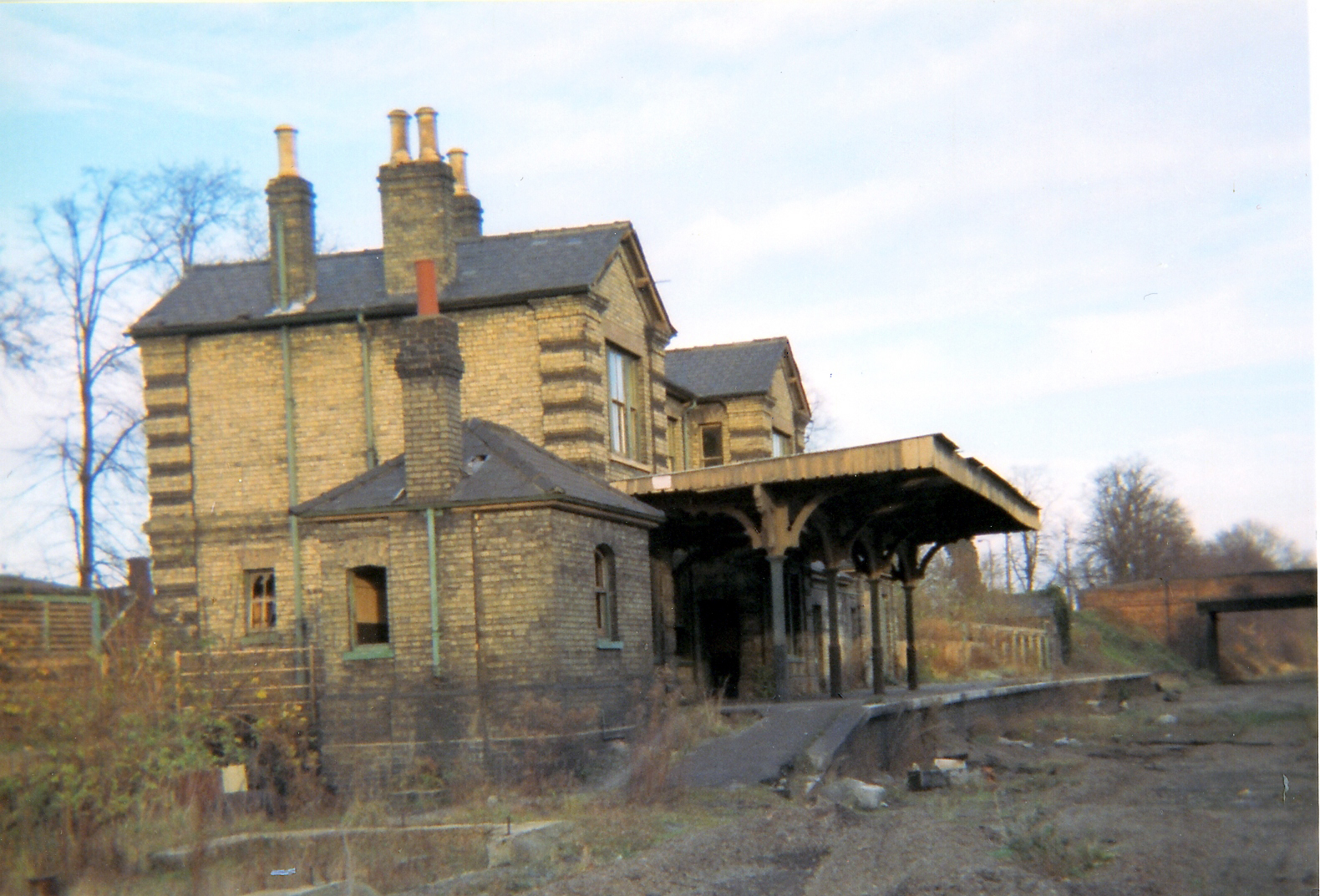
Saffron Walden railway station
Saffron Walden railway station served the town of Saffron Walden, Essex, between 1865 and 1964. The station was 43 miles 43 chains (70.07 km) from London...
Nearby Amenities
Located within 500m of 52.006462,0.287433Have you been to Cole End?
Leave your review of Cole End below (or comments, questions and feedback).