Holcombe Rogus

Settlement in Devon Mid Devon

England

Holcombe Rogus

Ordnance Survey Cut Mark This OS cut mark can be found on the porch of All Saints Church. It marks a point 139.513m above mean sea level.
Ordnance Survey Cut Mark Credit: Adrian Dust

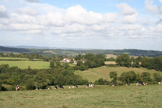
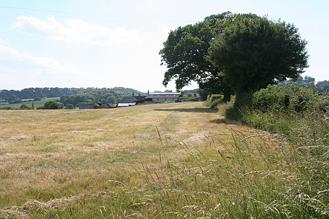
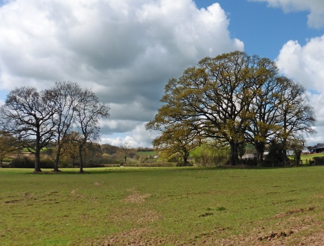
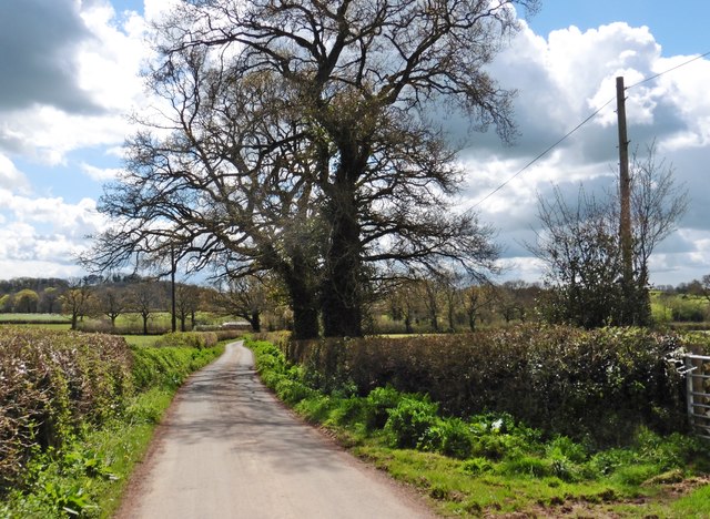
Holcombe Rogus is a small village located in Mid Devon, England. Situated on the eastern edge of the county, it lies approximately 6 miles north of the market town of Tiverton. The village is nestled in a picturesque rural setting, surrounded by rolling hills and farmland.

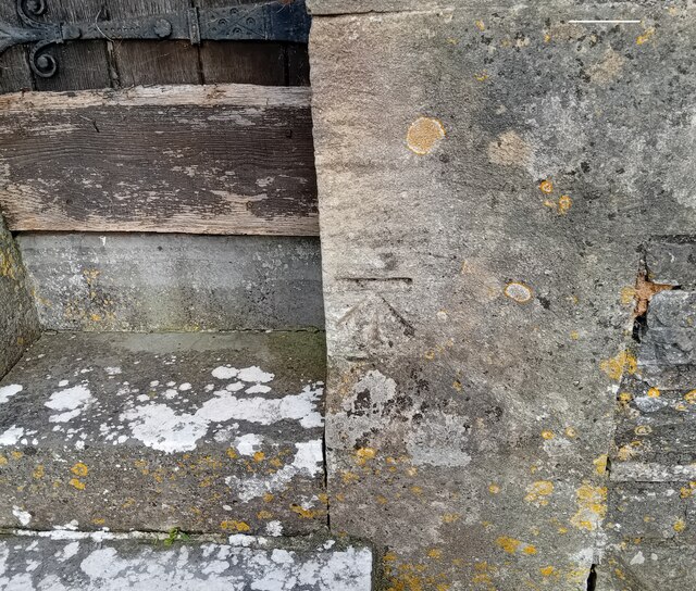
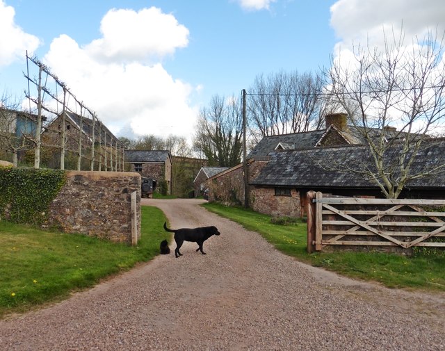
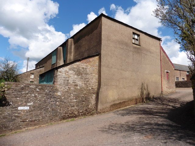
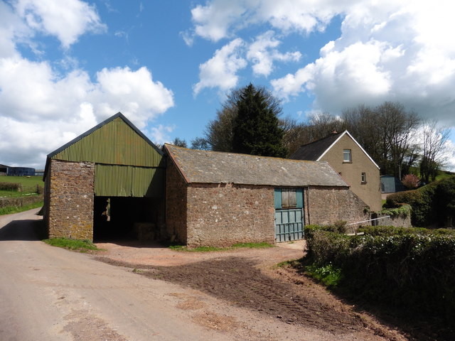
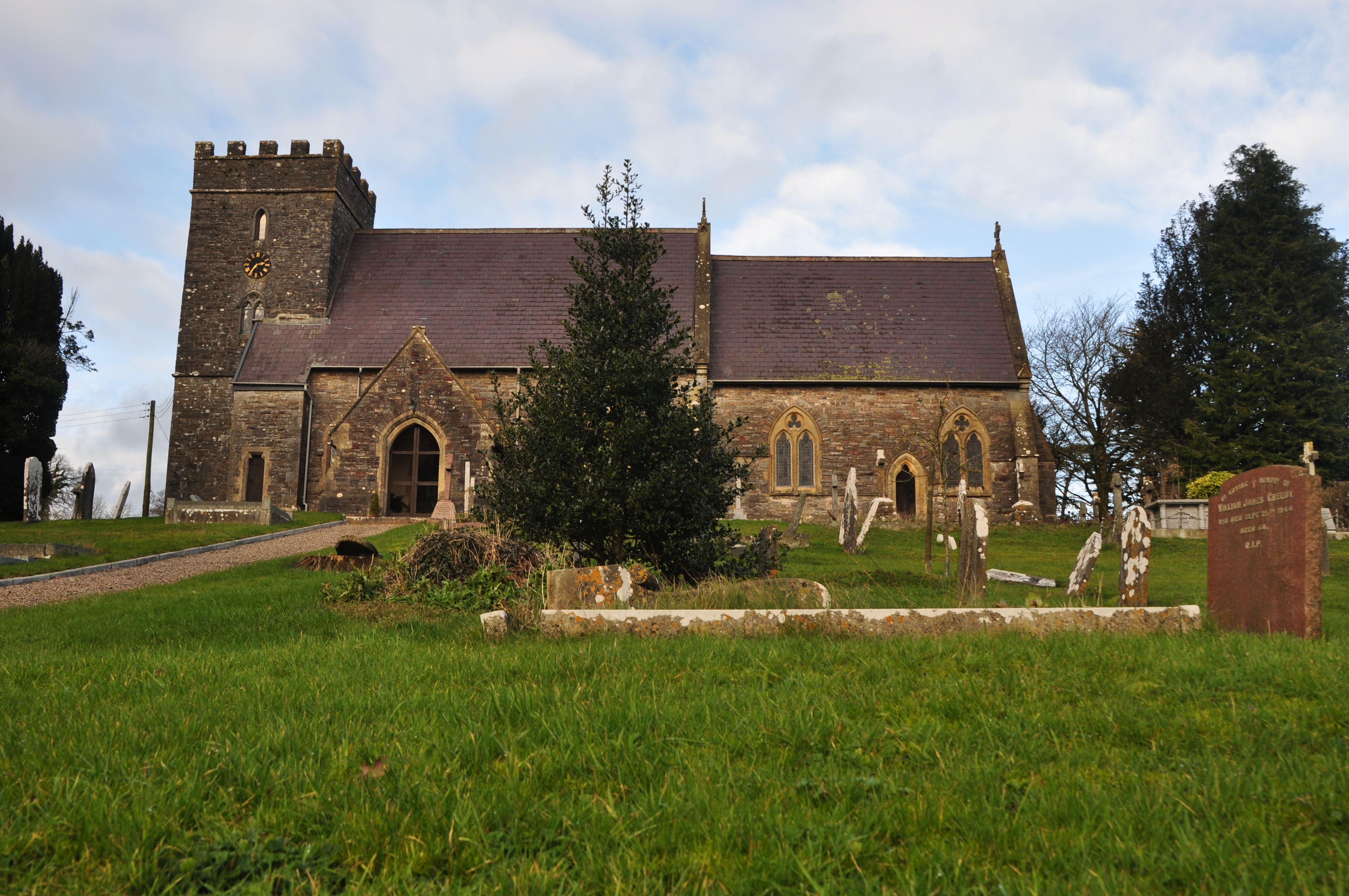
Historically, Holcombe Rogus was a medieval manor and its origins can be traced back to the 11th century. The village is known for its charming thatched cottages, many of which date back several centuries, adding to its timeless appeal. The centerpiece of the village is the beautiful St. John the Baptist Church, a Grade I listed building that showcases exquisite architectural features.

Despite its small size, Holcombe Rogus offers a range of amenities for its residents. These include a village hall, a primary school, and a popular pub known as The Ostler Inn, which serves delicious food and drinks. The village is well-connected, with regular bus services that link it to neighboring towns and cities.

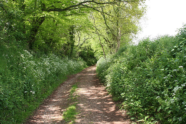
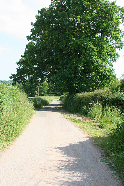
For nature enthusiasts, Holcombe Rogus is surrounded by stunning countryside, offering ample opportunities for walking, hiking, and cycling. The nearby Grand Western Canal provides a tranquil setting for leisurely walks, fishing, and boating.

Overall, Holcombe Rogus is a charming and idyllic village, known for its rich history, picturesque surroundings, and friendly community. It is a haven for those seeking a peaceful and traditional English countryside experience.

If you have any feedback on the listing, please let us know in the comments section below.

Holcombe Rogus Images

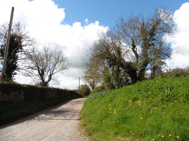
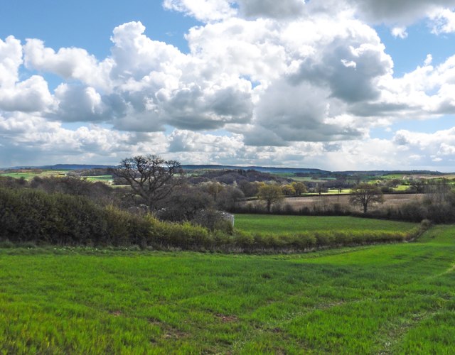
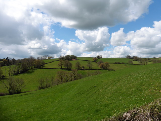
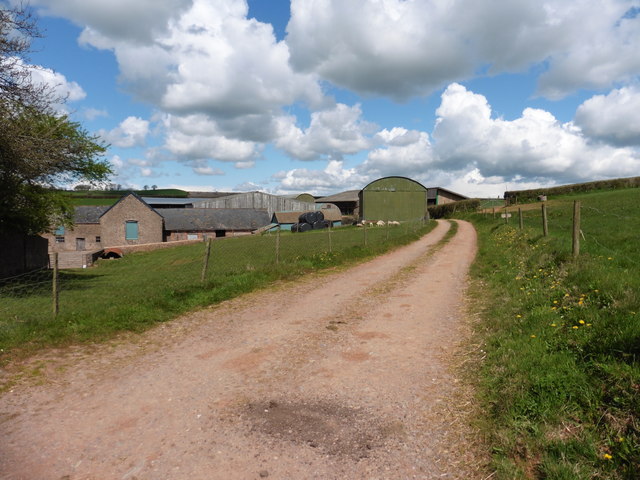
Images are sourced within 2km of 50.960372/-3.343523 or Grid Reference ST0518. Thanks to Geograph Open Source API. All images are credited.

Ordnance Survey Cut Mark This OS cut mark can be found on the porch of All Saints Church. It marks a point 139.513m above mean sea level.
Ordnance Survey Cut Mark
This OS cut mark can be found on the porch of All Saints Church. It marks a point 139.513m above mean sea level.
Ordnance Survey Cut Mark This OS cut mark can be found on the wall SE side of the road. It marks a point 127.349m above mean sea level.
Ordnance Survey Cut Mark
This OS cut mark can be found on the wall SE side of the road. It marks a point 127.349m above mean sea level.
Ordnance Survey Cut Mark This looks like an uncompleted OS cut mark about 5m NE of a completed mark. <a title="https://www.geograph.org.uk/photo/7687952" href="https://www.geograph.org.uk/photo/7687952">Link</a>
Ordnance Survey Cut Mark
This looks like an uncompleted OS cut mark about 5m NE of a completed mark. Link
Ordnance Survey Cut Mark This OS cut mark can be found on the wall NE side of the road. It marks a point 116.830m above mean sea level. <a title="https://www.geograph.org.uk/photo/7687951" href="https://www.geograph.org.uk/photo/7687951">Link</a>
Ordnance Survey Cut Mark
This OS cut mark can be found on the wall NE side of the road. It marks a point 116.830m above mean sea level. Link
Ordnance Survey Cut Mark This OS cut mark can be found on the south face of St Simon & St Jude's Church. It marks a point 202.241m above mean sea level.
Ordnance Survey Cut Mark
This OS cut mark can be found on the south face of St Simon & St Jude's Church. It marks a point 202.241m above mean sea level.
Holcombe Rogus: east to Bishop's Barton Bishop's Barton is in the parish of Stawley, across the river Tone
Holcombe Rogus: east to Bishop's Barton
Bishop's Barton is in the parish of Stawley, across the river Tone
Holcombe Rogus: track near Kytton Barton Looking north west. A little further along a public footpath veers off through a gate on the right and leads to Ashbrittle village
Holcombe Rogus: track near Kytton Barton
Looking north west. A little further along a public footpath veers off through a gate on the right and leads to Ashbrittle village
Holcombe Rogus: towards Wardmoor Taken about a field's length away from Freathingcott Farm. The lane eventually leads to Holcombe Rogus village
Holcombe Rogus: towards Wardmoor
Taken about a field's length away from Freathingcott Farm. The lane eventually leads to Holcombe Rogus village
Holcombe Rogus: towards Freathingcott Farm Typical country near the Devon-Somerset border and rather off the beaten track
Holcombe Rogus: towards Freathingcott Farm
Typical country near the Devon-Somerset border and rather off the beaten track
Freathingcott Farm
Freathingcott Farm
Minor road to Holcombe Rogus
Kytton Barton
Kytton Barton
Lane to Kytton Barton
Farmland near Kytton Barton
Hillside above Holcombe
Lea Barton
Lea Barton
Outbuildings at Lea Barton Farm
Farm buildings near Lea Barton
Show me another place!

Holcombe Rogus is located at Grid Ref: ST0518 (Lat: 50.960372, Lng: -3.343523)

Administrative County: Devon

District: Mid Devon

Police Authority: Devon and Cornwall

What 3 Words

///telephone.limp.refrained. Near Sampford Peverell, Devon

Related Wikis

Holcombe Rogus

Holcombe Rogus is a village, civil parish and ecclesiastical parish in the English county of Devon. In 2001 the population of the parish was 503. ��2...

Manor of Holcombe Rogus

Holcombe Rogus is a historic manor in the parish of Holcombe Rogus in Devon, England. The present grade I listed Tudor manor house known as Holcombe Court...

Canonsleigh Abbey

Canonsleigh Abbey was an Augustinian priory in the parish of Burlescombe, Devon. == History == It was founded in about 1170 by Walter de Claville, lord...

Hockworthy

Hockworthy is a village and civil parish in Devon, England. Its name is Old English and means "Hocca's enclosure". It has a church dedicated to St. Simon...

Nearby Amenities

Located within 500m of 50.960372,-3.343523
Holcombe Rogus
Place: village
Wikidata: Q3224213
Wikipedia: en:Holcombe Rogus
Lat/Long: 50.9619087/-3.3436252
Post Office
Holcombe Rogus Post Office
Addr City: Wellington
Addr Postcode: TA21 0PJ
Addr Street: Pound Hill
Addr Village: Holcombe Rogus
Brand: Post Office
Brand Wikidata: Q1783168
Brand Wikipedia: en:Post Office Ltd
Contact Website: https://www.postoffice.co.uk/branch-finder/5404711/holcombe-rogus
Opening Hours: Tu 10:00-12:00
Operator: Post Office Ltd
Ref Pol Id: 145377
Lat/Long: 50.9615329/-3.3413592
Fuel
Lat/Long: 50.9617042/-3.3415684
Generator Method: photovoltaic
Generator Output Electricity: yes
Generator Source: solar
Generator Type: solar_photovoltaic_panel
Location: roof
Power: generator
Lat/Long: 50.9621012/-3.3423489
Generator Method: photovoltaic
Generator Output Electricity: yes
Generator Source: solar
Generator Type: solar_photovoltaic_panel
Location: roof
Power: generator
Lat/Long: 50.9607683/-3.3432958
Generator Method: photovoltaic
Generator Output Electricity: yes
Generator Source: solar
Generator Type: solar_photovoltaic_panel
Location: roof
Power: generator
Lat/Long: 50.9591937/-3.3442801
Leisure: playground
Lat/Long: 50.9590716/-3.3436181
Post Box
Post Box Design: type_m
Post Box Type: lamp
Lat/Long: 50.96168/-3.3415307
The data included in this document is from www.openstreetmap.org. The data is made available under ODbL.

Have you been to Holcombe Rogus?

Leave your review of Holcombe Rogus below (or comments, questions and feedback).