Ford Plantation
Wood, Forest in Devon Mid Devon
England
Ford Plantation
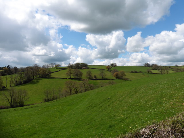
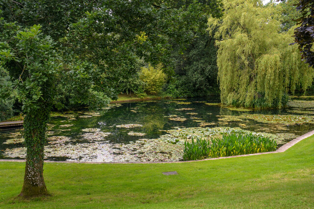
Ford Plantation is a picturesque woodland located in Devon, England. Nestled in the heart of the countryside, this enchanting plantation is known for its sprawling woodlands and dense forests, making it a haven for nature enthusiasts and outdoor adventurers alike.
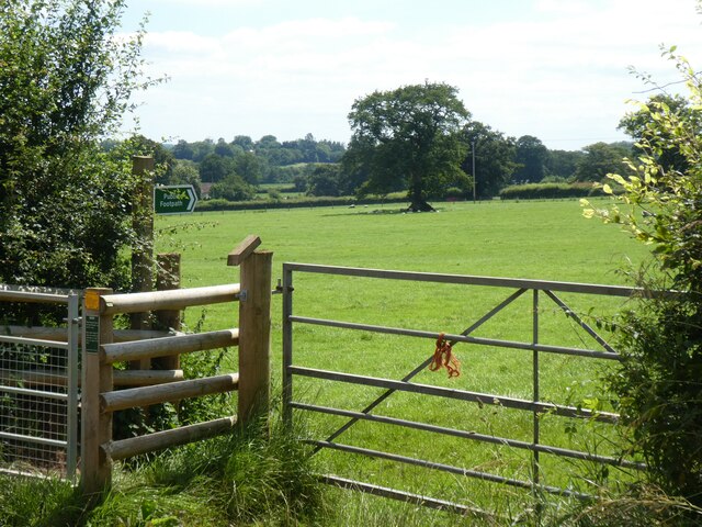
Covering an area of approximately 500 acres, Ford Plantation boasts an impressive variety of trees, including oak, beech, and birch, which provide a vibrant and diverse landscape. The forest is meticulously maintained, with well-marked trails that wind through the plantation, offering visitors the opportunity to explore and immerse themselves in the natural beauty of the area.
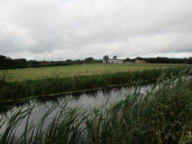
The plantation is home to numerous wildlife species, creating a thriving ecosystem. Birdwatchers will delight in the chance to spot various avian species, such as woodpeckers, owls, and songbirds, while mammal enthusiasts may catch glimpses of foxes, badgers, and deer roaming freely within the woodland.
A key feature of Ford Plantation is its commitment to conservation and sustainable practices. The plantation actively participates in reforestation efforts and promotes responsible land management. Additionally, educational programs and guided tours are offered to visitors, allowing them to learn about the importance of preserving and protecting the natural environment.
For those seeking relaxation and tranquility, Ford Plantation offers a serene setting with picturesque views. The peaceful atmosphere, coupled with the soothing sounds of nature, creates the ideal environment for unwinding and connecting with the great outdoors.
In summary, Ford Plantation is a captivating woodland in Devon, characterized by its lush forests, diverse wildlife, and commitment to conservation. This idyllic destination provides visitors with a chance to escape the hustle and bustle of everyday life and immerse themselves in the beauty of nature.
If you have any feedback on the listing, please let us know in the comments section below.
Ford Plantation Images
Images are sourced within 2km of 50.954187/-3.3521531 or Grid Reference ST0518. Thanks to Geograph Open Source API. All images are credited.


Ford Plantation is located at Grid Ref: ST0518 (Lat: 50.954187, Lng: -3.3521531)
Administrative County: Devon
District: Mid Devon
Police Authority: Devon and Cornwall
What 3 Words
///ringers.scanty.quit. Near Sampford Peverell, Devon
Nearby Locations
Related Wikis

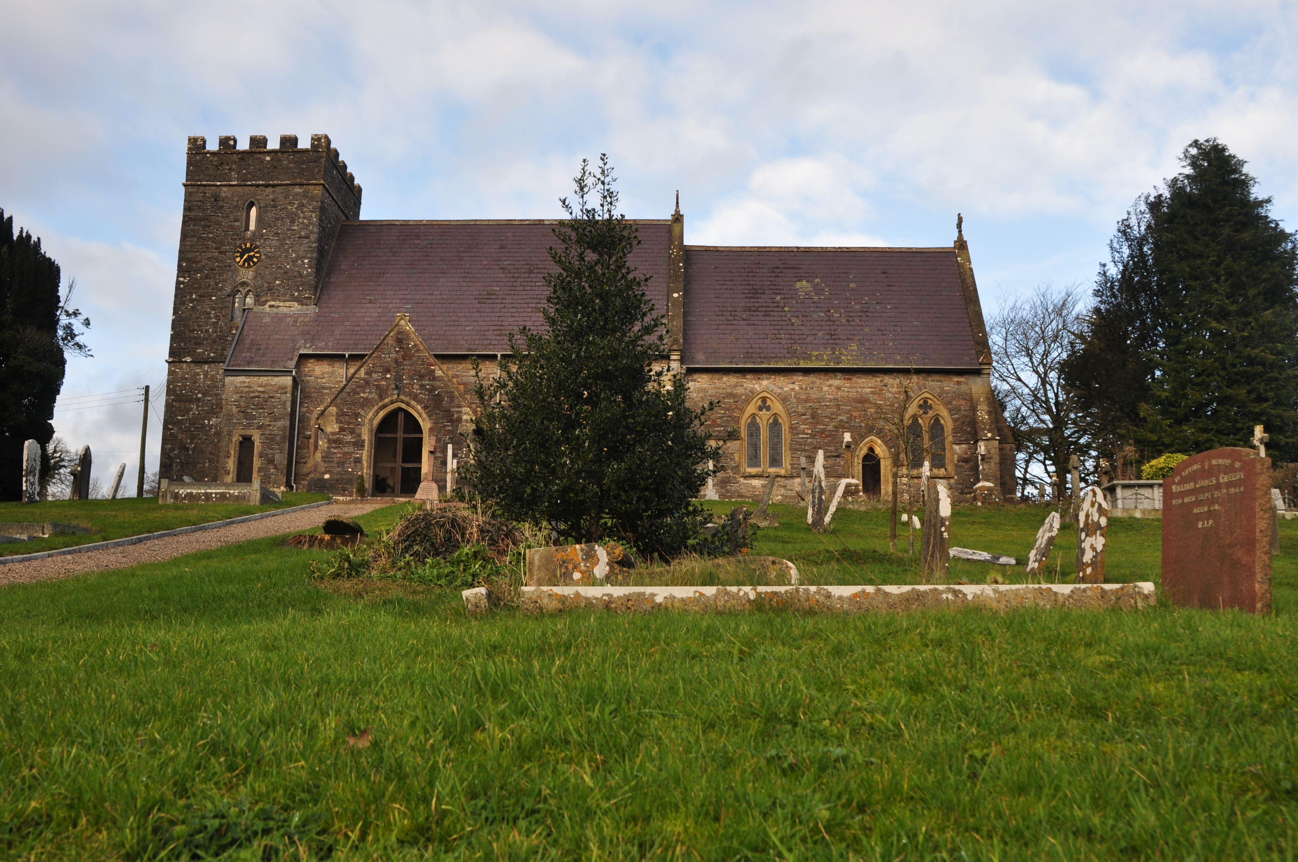
Holcombe Rogus
Holcombe Rogus is a village, civil parish and ecclesiastical parish in the English county of Devon. In 2001 the population of the parish was 503. ��2...

Manor of Holcombe Rogus
Holcombe Rogus is a historic manor in the parish of Holcombe Rogus in Devon, England. The present grade I listed Tudor manor house known as Holcombe Court...

Canonsleigh Abbey
Canonsleigh Abbey was an Augustinian priory in the parish of Burlescombe, Devon. == History == It was founded in about 1170 by Walter de Claville, lord...
Hockworthy
Hockworthy is a village and civil parish in Devon, England. Its name is Old English and means "Hocca's enclosure". It has a church dedicated to St. Simon...
Nearby Amenities
Located within 500m of 50.954187,-3.3521531Have you been to Ford Plantation?
Leave your review of Ford Plantation below (or comments, questions and feedback).