Holcombe Brook
Settlement in Lancashire
England
Holcombe Brook
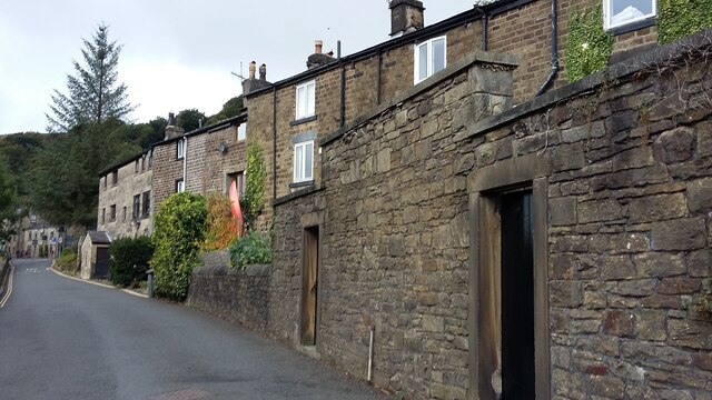
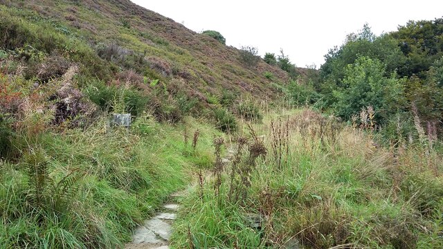
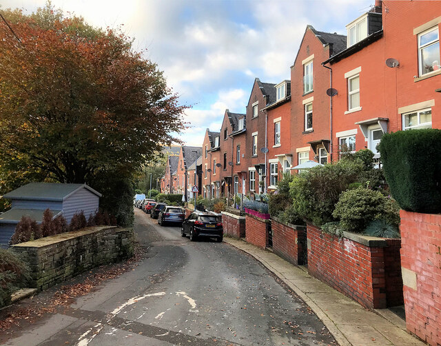
Holcombe Brook is a charming village located in Lancashire, England. Situated in the Metropolitan Borough of Bury, it lies on the southern edge of the West Pennine Moors, offering stunning views and access to beautiful natural surroundings. The village is surrounded by picturesque countryside, making it an ideal location for outdoor enthusiasts and nature lovers.
Holcombe Brook is known for its peaceful atmosphere and tight-knit community. The village features a range of amenities, including local shops, pubs, and restaurants, providing residents with all the necessary conveniences. It also has a primary school, making it an attractive choice for families.
One of the notable landmarks in Holcombe Brook is Holcombe Hill, which stands at an impressive height of 1,191 feet. Atop the hill, there is a monument known as Peel Tower, built in honor of Sir Robert Peel, a former British Prime Minister. The tower offers breathtaking panoramic views of the surrounding countryside and is a popular spot for hikers and walkers.
The village is well-connected to neighboring areas, with good transport links to Bury and Manchester. This makes it an appealing location for commuters working in these cities. Additionally, the nearby motorway network provides easy access to other parts of Lancashire and beyond.
In summary, Holcombe Brook is a tranquil village nestled in the heart of Lancashire. With its natural beauty, friendly community, and convenient amenities, it offers an idyllic setting for residents seeking a peaceful and picturesque place to call home.
If you have any feedback on the listing, please let us know in the comments section below.
Holcombe Brook Images
Images are sourced within 2km of 53.62882/-2.329612 or Grid Reference SD7814. Thanks to Geograph Open Source API. All images are credited.
![239 metre spot height, Holcombe At the junction of Chapel Lane and Helmshore Road [B6214], in the centre of the village.](https://s0.geograph.org.uk/geophotos/06/96/36/6963668_61ef1950.jpg)
![Peel Monument, Holcombe Hill, from the south The monument commemorates the politician Sir Robert Peel [1788-1850] who was born in Bury. It was built from local stone and completed in 1852.](https://s2.geograph.org.uk/geophotos/06/96/36/6963690_36097a4c.jpg)
Holcombe Brook is located at Grid Ref: SD7814 (Lat: 53.62882, Lng: -2.329612)
Unitary Authority: Bury
Police Authority: Greater Manchester
What 3 Words
///pheasants.tacky.gained. Near Tottington, Manchester
Nearby Locations
Related Wikis

Greenmount, Greater Manchester
Greenmount is a village in Tottington in the West Pennine Moors, in the northern part of the Metropolitan Borough of Bury, in Greater Manchester, England...

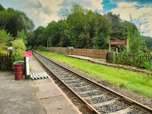
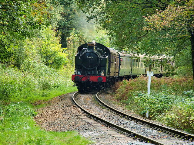
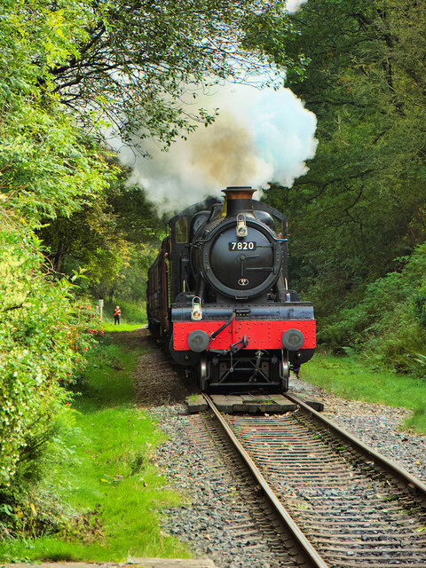
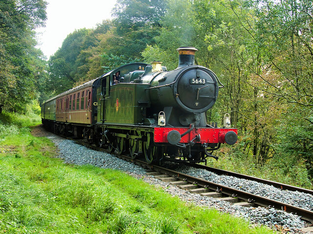
Holcombe Brook railway station
Holcombe Brook railway station was the terminus of the Bury to Holcombe Brook Line in England and served the village of Holcombe Brook in the Metropolitan...
Woodhey High School
Woodhey High School is a coeducational secondary school in Ramsbottom, in the Metropolitan Borough of Bury, Greater Manchester, England.Woodhey High School...

Greenmount railway station
Greenmount Railway Station served the village of Greenmount in the Metropolitan Borough of Bury. == History == The Bury and Tottington District Railway...
Nearby Amenities
Located within 500m of 53.62882,-2.329612Have you been to Holcombe Brook?
Leave your review of Holcombe Brook below (or comments, questions and feedback).