Holcombe

Settlement in Devon East Devon

England

Holcombe

22 and 23, Broad Street
22 and 23, Broad Street Credit: Neil Carmichael

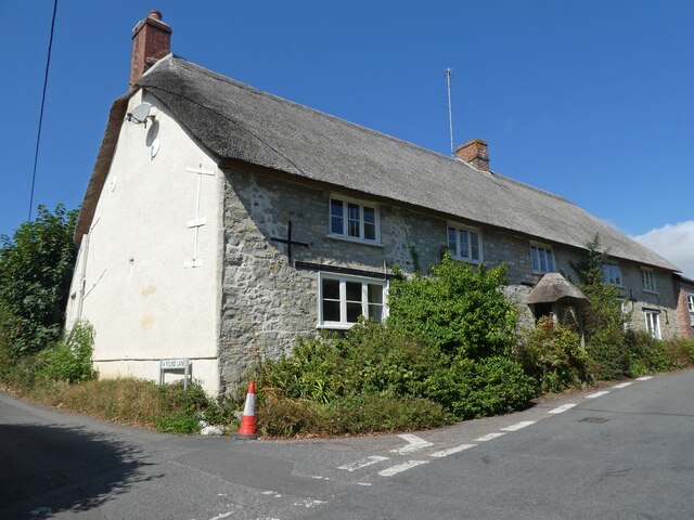
Holcombe is a small village located in the county of Devon, England. Situated on the picturesque coastline of the English Channel, it falls within the district of Teignbridge. With a population of around 500 residents, Holcombe is known for its tranquil atmosphere and stunning natural beauty.

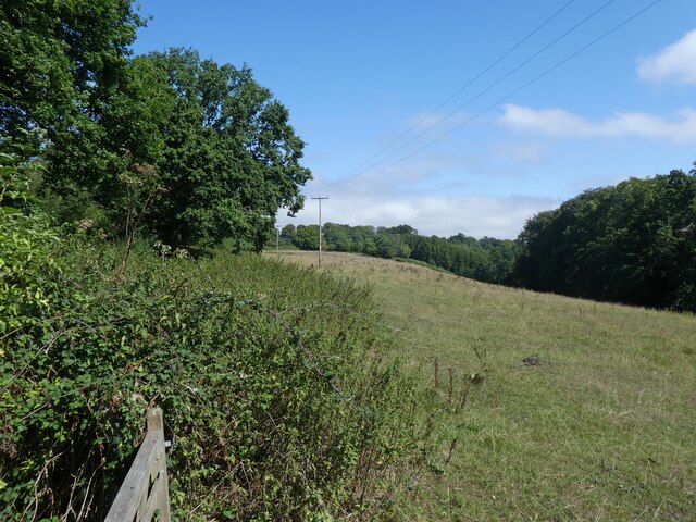
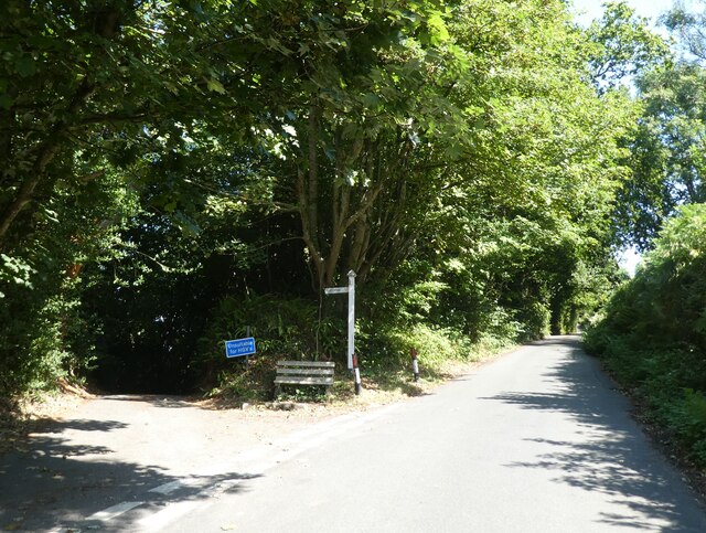
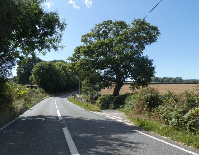
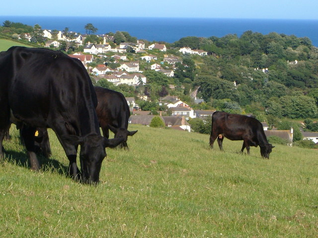
The village is surrounded by rolling hills and offers breathtaking views of the sea. Its proximity to the South West Coast Path makes it a popular destination for hikers and nature enthusiasts. The coastal cliffs are home to several species of seabirds, providing a haven for birdwatchers.

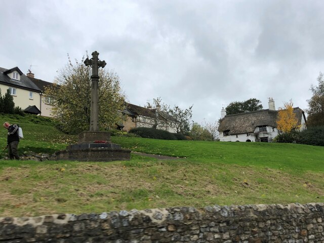
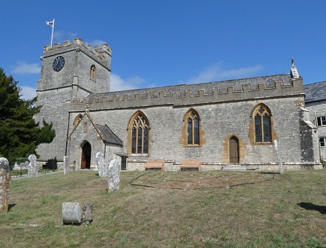
Holcombe boasts a rich history dating back to the medieval period. The village church, dedicated to St. Andrew, is a notable landmark and dates back to the 13th century. Its architecture showcases a mix of Norman and Gothic styles, making it a significant historical and cultural site.

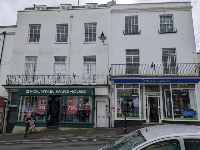
While primarily a residential area, Holcombe does have a few amenities to cater to its residents and visitors. These include a local pub, a village hall, and a small convenience store. The village also hosts various community events throughout the year, such as fairs and festivals, which bring the community together.

The village is well-connected to nearby towns and cities, with the town of Dawlish just a short drive away. This provides residents with access to a wider range of services and facilities.

Overall, Holcombe offers a peaceful and idyllic setting for those seeking to escape the hustle and bustle of city life, making it a perfect retreat for nature lovers and history enthusiasts alike.

If you have any feedback on the listing, please let us know in the comments section below.
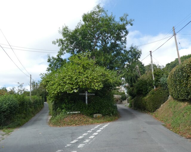
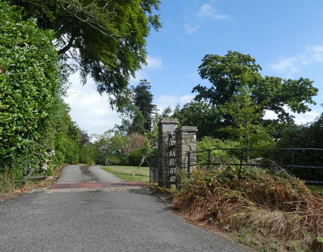
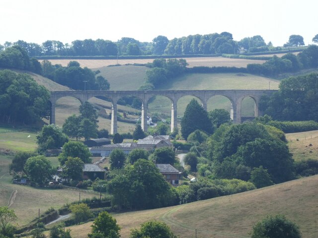
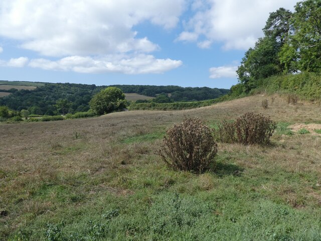
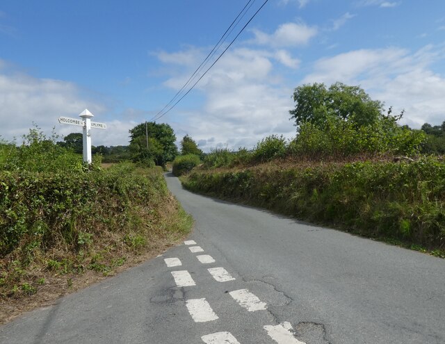
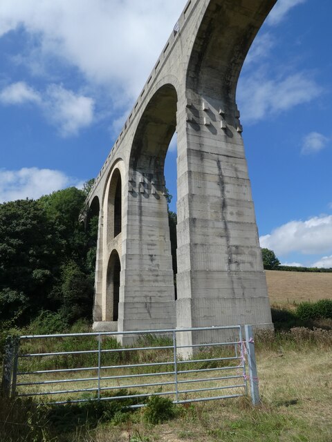
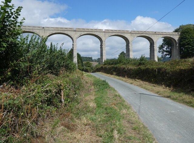
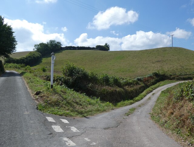
Holcombe Images

Images are sourced within 2km of 50.734138/-2.969222 or Grid Reference SY3193. Thanks to Geograph Open Source API. All images are credited.

22 and 23, Broad Street
Pitt White Bamboo Garden Gate to Pitt White Bamboo Garden
Pitt White Bamboo Garden
Gate to Pitt White Bamboo Garden
War Memorial at Uplyme
Holly Hill Christmas tree nurseries
Field, above Spring Close Coppice
Junction, on Spring Head Road
Thatched Cottage at Lane End
Church of St Peter & St Paul, Uplyme
Art exhibition at Church of St Peter & St Paul, Uplyme
Venlake Cross
Venlake Cross
Entrance, Woodhouse Fields
Cannington Viaduct
Cannington Viaduct
Wadley Hill
Wadley Hill
Turning for Holcombe
Closeup, Cannington Viaduct
Cannington Viaduct
Cannington Viaduct
Junction on Cannington Lane
Turning for Cannington Lane
Show me another place!

Holcombe is located at Grid Ref: SY3193 (Lat: 50.734138, Lng: -2.969222)

Administrative County: Devon

District: East Devon

Police Authority: Devon and Cornwall

What 3 Words

///mimic.realm.slows. Near Lyme Regis, Dorset

Related Wikis

Holcombe, East Devon

Holcombe is a hamlet in the district of East Devon in the English county of Devon. Holcombe is located northwest of the town of Lyme Regis about a mile...

Furzehill Plantation

Furzehill Plantation is a woodland in Devon, England, near the village of Uplyme. It covers a total area of 1.22 hectares (3.01 acres). It is owned and...

Uplyme

Uplyme is an English village and civil parish in East Devon on the Devon-Dorset border and the River Lym, adjacent to the Dorset coastal town of Lyme Regis...

The Woodroffe School

The Woodroffe School is a comprehensive school in Lyme Regis, Dorset, England. == Lyme Regis Grammar School == From 1923-1971 the school was known as Lyme...

Nearby Amenities

Located within 500m of 50.734138,-2.969222
Holcombe
Place: hamlet
Wikidata: Q5879023
Lat/Long: 50.7337456/-2.9701985
Uplyme Pinetum
Leisure: park
Lat/Long: 50.7375147/-2.9694379
Ford: yes
Lat/Long: 50.734142/-2.9722292
Power: pole
Source: bing
Lat/Long: 50.7299866/-2.9715016
Power: pole
Transformer: distribution
Lat/Long: 50.7301608/-2.9697947
Information: map
Tourism: information
Lat/Long: 50.7367643/-2.968241
Generator Method: photovoltaic
Generator Output Electricity: yes
Generator Source: solar
Generator Type: solar_photovoltaic_panel
Location: roof
Power: generator
Lat/Long: 50.7326084/-2.9701817
Generator Method: photovoltaic
Generator Output Electricity: yes
Generator Source: solar
Generator Type: solar_photovoltaic_panel
Location: roof
Power: generator
Lat/Long: 50.7362387/-2.9633488
Generator Method: photovoltaic
Generator Output Electricity: yes
Generator Source: solar
Generator Type: solar_photovoltaic_panel
Location: roof
Power: generator
Lat/Long: 50.7364152/-2.9633407
Power: pole
Source: bing
Lat/Long: 50.7335523/-2.9713511
Power: pole
Source: bing
Lat/Long: 50.7338782/-2.9720981
Power: pole
Source: bing
Lat/Long: 50.7348722/-2.9757205
Poles: bipole
Power: pole
Source: bing
Lat/Long: 50.7348747/-2.97575
Power: pole
Source: bing
Lat/Long: 50.7345437/-2.9745242
Power: pole
Source: bing
Lat/Long: 50.7341991/-2.9732609
Poles: bipole
Power: pole
Source: bing
Lat/Long: 50.7339597/-2.9755971
Power: pole
Source: bing
Lat/Long: 50.7346175/-2.9642554
Power: pole
Source: bing
Lat/Long: 50.7328027/-2.9631342
Power: pole
Source: bing
Lat/Long: 50.7327017/-2.9644847
Power: pole
Source: bing
Lat/Long: 50.7338154/-2.964364
Power: pole
Source: bing
Lat/Long: 50.7322824/-2.9645062
Power: pole
Source: bing
Lat/Long: 50.7319055/-2.9655576
Power: pole
Source: bing
Lat/Long: 50.7308003/-2.9684705
Power: pole
Source: bing
Lat/Long: 50.7314403/-2.9668102
Power: pole
Source: bing
Lat/Long: 50.7302961/-2.9698008
The data included in this document is from www.openstreetmap.org. The data is made available under ODbL.

Have you been to Holcombe?

Leave your review of Holcombe below (or comments, questions and feedback).