Holcombe
Settlement in Devon Teignbridge
England
Holcombe

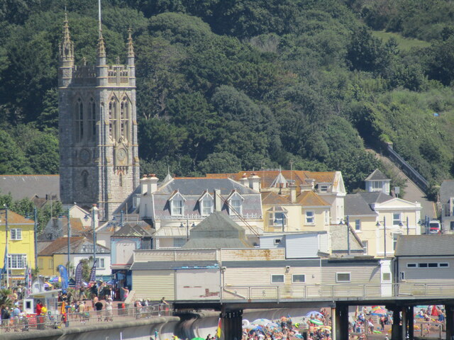
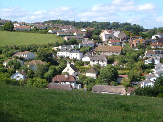
Holcombe is a picturesque village located in the county of Devon, England. Situated on the south coast, it is nestled between the towns of Teignmouth and Dawlish. Holcombe is known for its stunning coastal views and charming rural surroundings, making it a popular destination for tourists and locals alike.
The village is characterized by its traditional thatched cottages and historic buildings, reflecting its rich history dating back to the medieval period. The centerpiece of Holcombe is the All Saints Church, a beautiful 12th-century structure that showcases remarkable architectural features and a peaceful atmosphere.
Nature enthusiasts are drawn to Holcombe for its access to the South West Coast Path, which offers breathtaking walks along the rugged coastline. The coastline is dotted with secluded coves and sandy beaches, providing opportunities for sunbathing, swimming, and other water activities. One of the notable attractions is the Holcombe Beach, which has been awarded the prestigious Blue Flag status for its clean waters and excellent facilities.
The village also boasts a vibrant community spirit, with a range of amenities including a local pub, a village hall, and a small convenience store catering to the needs of residents and visitors. Regular events, such as the Holcombe Regatta and the village fête, bring the community together and add to the village's lively atmosphere.
In summary, Holcombe is a charming village that offers a perfect blend of natural beauty, historical heritage, and a tight-knit community. Whether exploring the coastal paths, enjoying the local pub, or simply relaxing on the beach, visitors to Holcombe are sure to be captivated by its enchanting appeal.
If you have any feedback on the listing, please let us know in the comments section below.
Holcombe Images
Images are sourced within 2km of 50.562585/-3.478937 or Grid Reference SX9574. Thanks to Geograph Open Source API. All images are credited.
![Teignmouth Lido temporarily closed Closed during the pandemic, the Lido will remain closed until 2022. Teignbridge Council explains that it has been &quot;successful in a grant funding bid to the Public Sector Decarbonisation Scheme which will enable us to reduce energy costs and carbon emissions by installing new, green technology at Newton Abbot Leisure Centre, Teignmouth Lido and Broadmeadow Sports Centre [Dawlish]&quot;. The deadline for completing the work is September 2021: watch this space. <a href="https://www.geograph.org.uk/photo/3463487">SX9473 : Early morning lane swimming, Teignmouth Lido</a>.](https://s1.geograph.org.uk/geophotos/06/92/00/6920057_a3d85adb.jpg)


Holcombe is located at Grid Ref: SX9574 (Lat: 50.562585, Lng: -3.478937)
Administrative County: Devon
District: Teignbridge
Police Authority: Devon and Cornwall
What 3 Words
///quench.interlude.rebounds. Near Teignmouth, Devon
Related Wikis
Holcombe, Teignbridge
Holcombe is a small village in the south of Devon, England, situated between the much larger coastal towns of Teignmouth and Dawlish. The village has very...

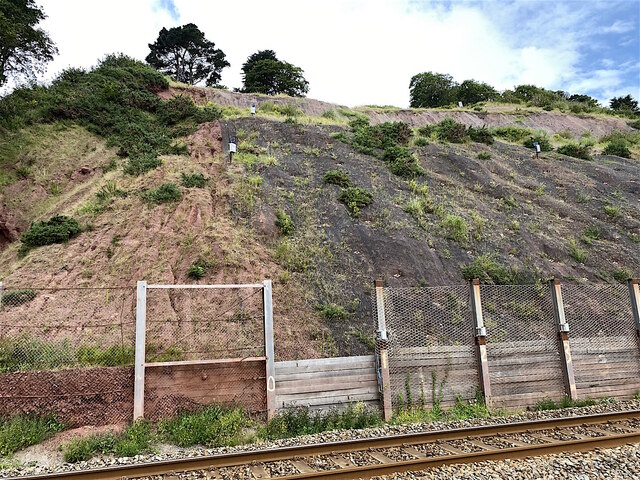
South Devon Railway sea wall
The South Devon Railway sea wall is situated on the south coast of Devon in England. A footpath runs alongside the railway between Dawlish Warren and Dawlish...

Teignmouth Abbey
Teignmouth Abbey or St. Scholastica's Abbey is a former abbey in Devon, England. == History == The Benedictine community at Teignmouth dated back to the...
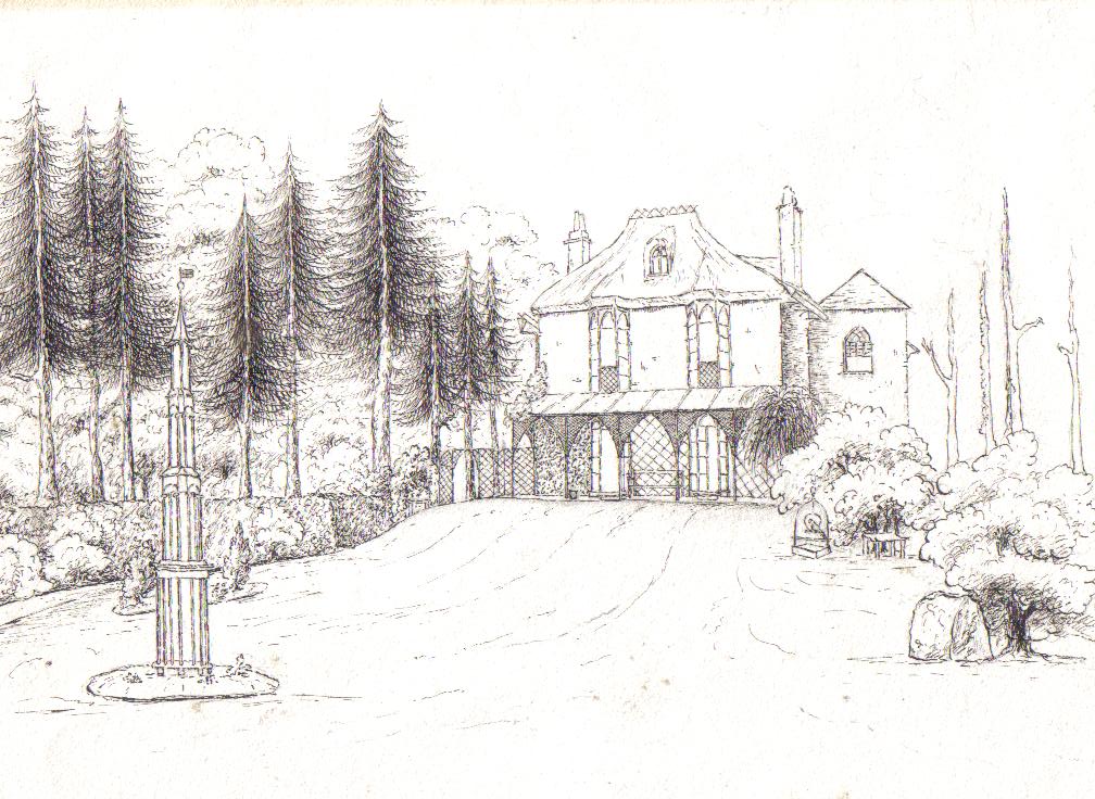
Woodway House
Woodway House is in Teignmouth, South Devon, England. It was at one time a farm on lands held by the Bishops of Exeter. In around 1815 a thatched "cottage...
Nearby Amenities
Located within 500m of 50.562585,-3.478937Have you been to Holcombe?
Leave your review of Holcombe below (or comments, questions and feedback).