Uplyme

Civil Parish in Devon East Devon

England

Uplyme

22 and 23, Broad Street
22 and 23, Broad Street Credit: Neil Carmichael

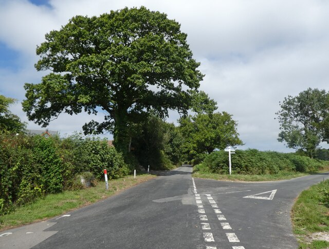
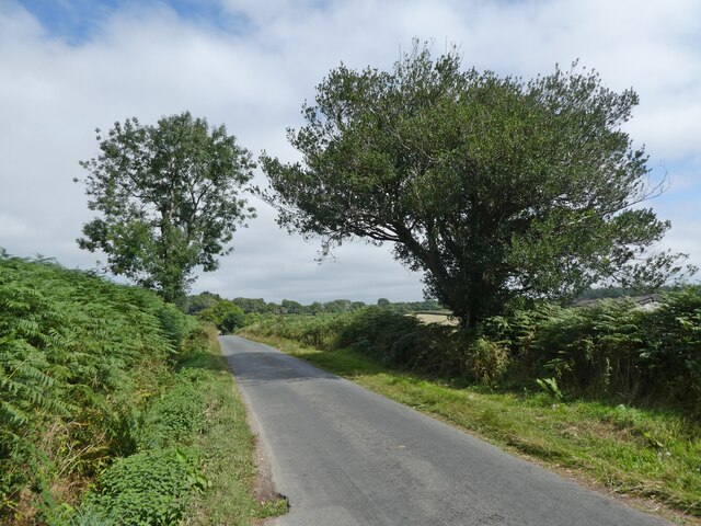
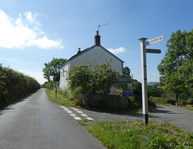
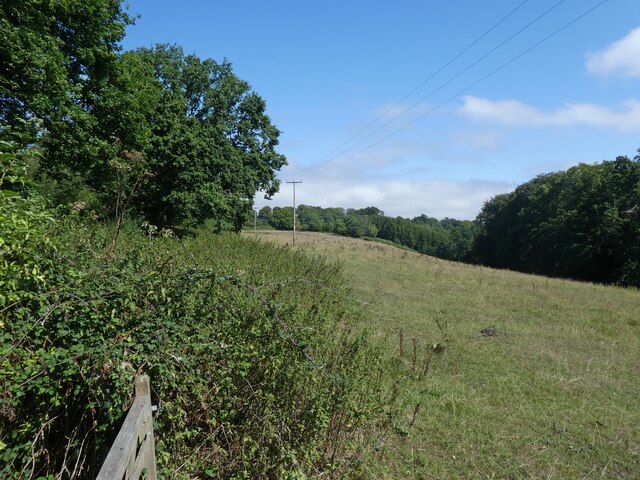
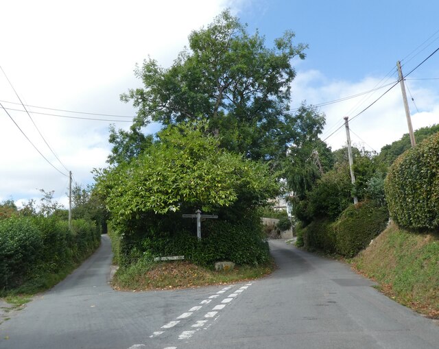
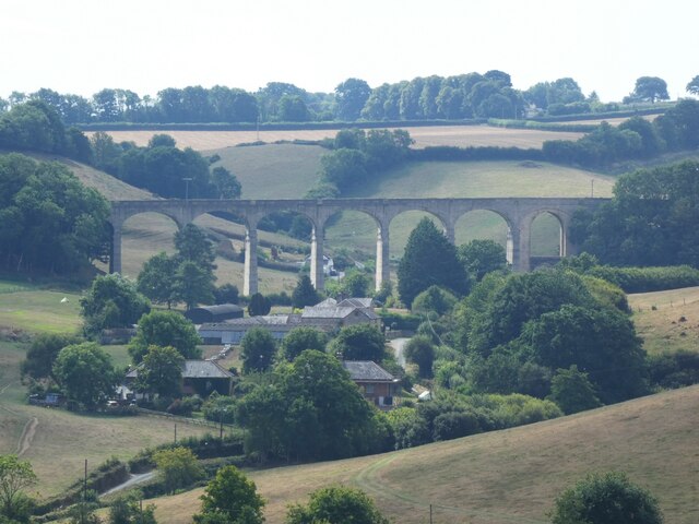
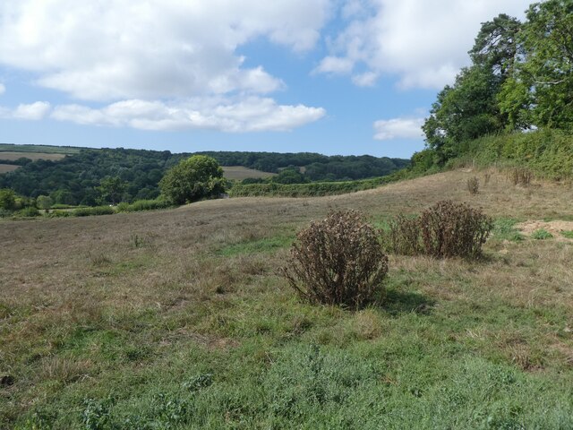
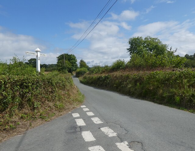
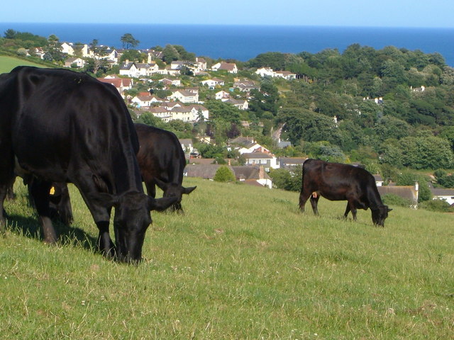
Uplyme is a civil parish located in the county of Devon, England. Situated in the stunning Axe Valley, it is nestled between the towns of Lyme Regis and Axminster. Covering an area of approximately 8.2 square kilometers, the parish is surrounded by picturesque countryside and offers breathtaking views of the rolling hills and meandering River Axe.

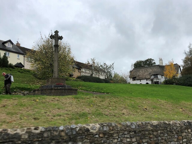
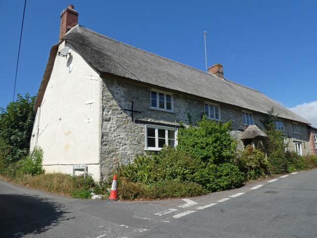
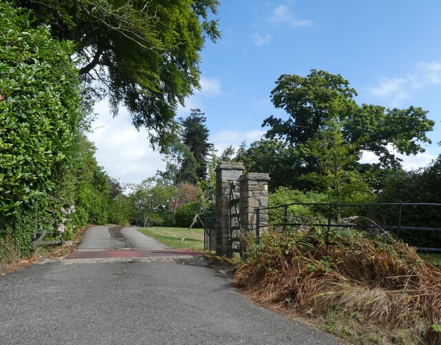
The village of Uplyme itself is a charming and idyllic settlement, with a population of around 1,500 residents. It is renowned for its peaceful and tranquil atmosphere, making it a popular destination for those seeking a quiet and relaxing retreat. The village is characterized by its beautiful thatched cottages, ancient stone buildings, and well-maintained gardens.

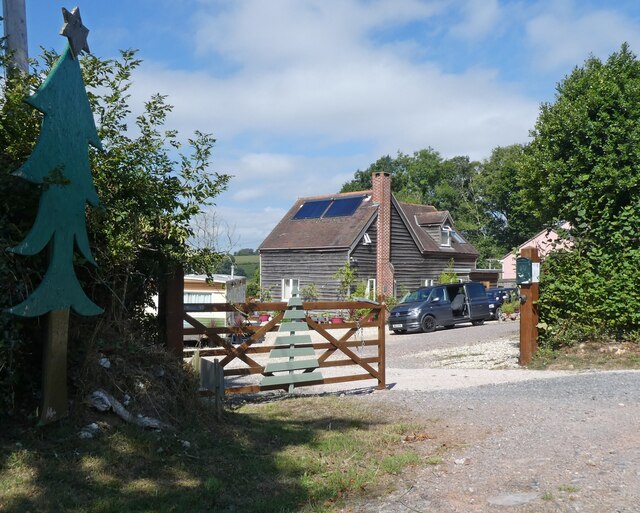
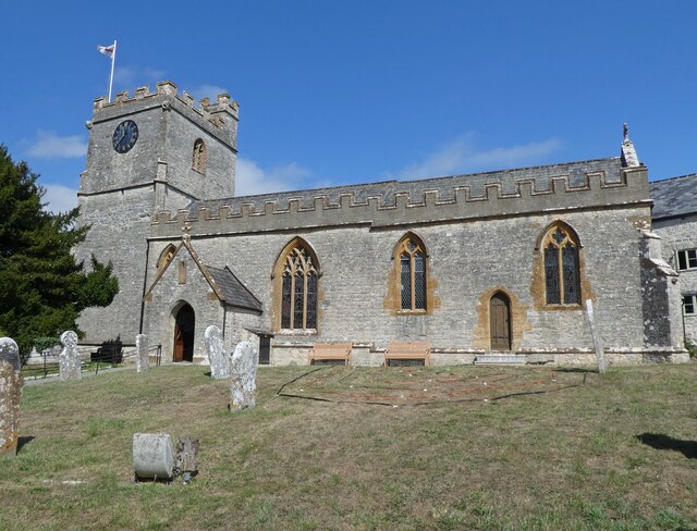
Uplyme boasts a rich history, with evidence of human settlement dating back to the prehistoric era. The parish church, St. Peter and St. Paul, is a notable landmark that has stood for centuries, showcasing exquisite architecture and historical significance. The village also features a community hall, a primary school, and a village store, catering to the daily needs of its residents.

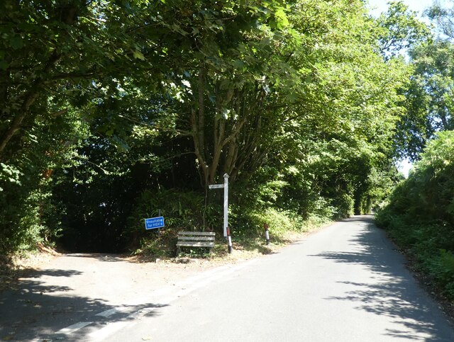
Nature lovers will find Uplyme to be a paradise, as it is surrounded by numerous walking trails and nature reserves. The area is renowned for its diverse wildlife, and visitors can often spot rare bird species and other animals while exploring the countryside. The nearby coastal town of Lyme Regis offers stunning beaches, fossil hunting opportunities, and a vibrant arts and culture scene.

Overall, Uplyme is a delightful and peaceful civil parish that offers a perfect blend of natural beauty, historical charm, and a close-knit community.

If you have any feedback on the listing, please let us know in the comments section below.

Uplyme Images

Images are sourced within 2km of 50.739879/-2.965571 or Grid Reference SY3193. Thanks to Geograph Open Source API. All images are credited.

22 and 23, Broad Street
Pitt White Bamboo Garden Gate to Pitt White Bamboo Garden
Pitt White Bamboo Garden
Gate to Pitt White Bamboo Garden
War Memorial at Uplyme
Redlane Cross
Redlane Cross
Yawl Hill
Yawl Hill
Red Lane
Red Lane
Junction at Whitty Down
Holly Hill Christmas tree nurseries
Field, above Spring Close Coppice
Junction, on Spring Head Road
Thatched Cottage at Lane End
Church of St Peter & St Paul, Uplyme
Art exhibition at Church of St Peter & St Paul, Uplyme
Venlake Cross
Venlake Cross
Entrance, Woodhouse Fields
Cannington Viaduct
Cannington Viaduct
Wadley Hill
Wadley Hill
Turning for Holcombe
Show me another place!

Uplyme is located at Grid Ref: SY3193 (Lat: 50.739879, Lng: -2.965571)

Administrative County: Devon

District: East Devon

Police Authority: Devon & Cornwall

What 3 Words

///scope.cushy.regulates. Near Lyme Regis, Dorset

Related Wikis

Holcombe, East Devon

Holcombe is a hamlet in the district of East Devon in the English county of Devon. Holcombe is located northwest of the town of Lyme Regis about a mile...

Uplyme

Uplyme is an English village and civil parish in East Devon on the Devon-Dorset border and the River Lym, adjacent to the Dorset coastal town of Lyme Regis...

Furzehill Plantation

Furzehill Plantation is a woodland in Devon, England, near the village of Uplyme. It covers a total area of 1.22 hectares (3.01 acres). It is owned and...

The Woodroffe School

The Woodroffe School is a comprehensive school in Lyme Regis, Dorset, England. == Lyme Regis Grammar School == From 1923-1971 the school was known as Lyme...

Nearby Amenities

Located within 500m of 50.739879,-2.965571
Post Box
Post Box Design: off_street_box
Post Box Type: pillar
Ref: DT7 61
Lat/Long: 50.7372667/-2.9597815
Mini Roundabout
Direction: clockwise
Lat/Long: 50.7375372/-2.9603309
Uplyme Pinetum
Leisure: park
Lat/Long: 50.7375147/-2.9694379
Post Box
Source: survey
Lat/Long: 50.7397269/-2.9640741
Information: map
Tourism: information
Lat/Long: 50.7367643/-2.968241
Direction: SSW
Generator Method: photovoltaic
Generator Output Electricity: yes
Generator Solar Modules: 16
Generator Source: solar
Generator Type: solar_photovoltaic_panel
Location: roof
Power: generator
Lat/Long: 50.7394075/-2.9619024
Generator Method: photovoltaic
Generator Output Electricity: yes
Generator Source: solar
Generator Type: solar_photovoltaic_panel
Location: roof
Power: generator
Lat/Long: 50.7392322/-2.9630403
Generator Method: photovoltaic
Generator Output Electricity: yes
Generator Source: solar
Generator Type: solar_photovoltaic_panel
Location: roof
Power: generator
Lat/Long: 50.7390862/-2.9626139
Generator Method: photovoltaic
Generator Output Electricity: yes
Generator Source: solar
Generator Type: solar_photovoltaic_panel
Location: roof
Power: generator
Lat/Long: 50.7387637/-2.9619849
Generator Method: photovoltaic
Generator Output Electricity: yes
Generator Source: solar
Generator Type: solar_photovoltaic_panel
Location: roof
Power: generator
Lat/Long: 50.7386873/-2.9619098
Generator Method: photovoltaic
Generator Output Electricity: yes
Generator Source: solar
Generator Type: solar_photovoltaic_panel
Location: roof
Power: generator
Lat/Long: 50.7362387/-2.9633488
Generator Method: photovoltaic
Generator Output Electricity: yes
Generator Source: solar
Generator Type: solar_photovoltaic_panel
Location: roof
Power: generator
Lat/Long: 50.7364152/-2.9633407
Direction: 185
Generator Method: photovoltaic
Generator Output Electricity: yes
Generator Solar Modules: 12
Generator Source: solar
Generator Type: solar_photovoltaic_panel
Location: roof
Power: generator
Tilted: yes
Lat/Long: 50.7416714/-2.9649889
Generator Method: photovoltaic
Generator Output Electricity: yes
Generator Source: solar
Generator Type: solar_photovoltaic_panel
Location: roof
Power: generator
Lat/Long: 50.7443387/-2.9660873
Direction: 125
Generator Method: photovoltaic
Generator Output Electricity: yes
Generator Solar Modules: 12
Generator Source: solar
Generator Type: solar_photovoltaic_panel
Location: roof
Power: generator
Lat/Long: 50.7382814/-2.9595143
Power: pole
Source: bing
Lat/Long: 50.7418844/-2.9644954
Power: pole
Source: bing
Lat/Long: 50.7418963/-2.9630671
Power: pole
Source: bing
Lat/Long: 50.7420193/-2.964022
Power: pole
Source: bing
Lat/Long: 50.7423809/-2.9600108
Power: pole
Source: bing
Switch: mechanical
Lat/Long: 50.742201/-2.9610354
Power: pole
Source: bing
Switch: circuit_breaker
Lat/Long: 50.7420159/-2.9620975
Power: pole
Source: bing
Lat/Long: 50.7414864/-2.9663488
Power: pole
Source: bing
Transformer: distribution
Lat/Long: 50.7415712/-2.9654476
Power: pole
Source: bing
Lat/Long: 50.7411163/-2.9693006
Power: pole
Source: bing
Lat/Long: 50.7413727/-2.9673627
Bus Stop
Post Box
Bus: yes
Public Transport: platform
Lat/Long: 50.7397176/-2.9640554
The data included in this document is from www.openstreetmap.org. The data is made available under ODbL.

Have you been to Uplyme?

Leave your review of Uplyme below (or comments, questions and feedback).