Holcot

Settlement in Northamptonshire

England

Holcot

Pitsford Reservoir
Pitsford Reservoir Credit: JThomas

Holcot is a small village located in the county of Northamptonshire, England. It is situated approximately six miles northeast of Northampton, the county town. With a population of just over 200 residents, Holcot is known for its peaceful and rural atmosphere.

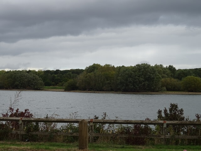
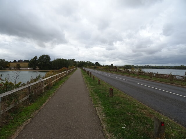
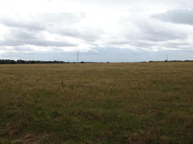
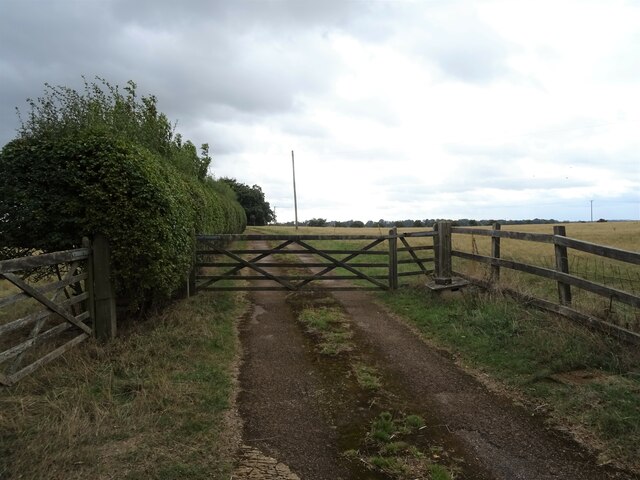
The village is surrounded by picturesque countryside, offering beautiful views and opportunities for outdoor activities such as walking, cycling, and horse riding. It is primarily a residential area, with a mix of traditional stone cottages and more modern houses. The village is characterized by its close-knit community, with a strong sense of local pride and involvement.

Holcot is home to the Church of All Saints, a historic Grade II listed building dating back to the 13th century. The church is an important focal point for the community, hosting regular services and events. The village also has a village hall, which serves as a hub for various social and recreational activities.

While there are limited amenities within Holcot itself, the village benefits from its proximity to larger towns and cities. Northampton, with its wide range of shops, restaurants, and leisure facilities, is easily accessible by car or public transport. Holcot residents also have easy access to the A43 road, providing links to other nearby towns and the wider road network.

Overall, Holcot offers a tranquil and idyllic living environment for those seeking a peaceful retreat in the Northamptonshire countryside.

If you have any feedback on the listing, please let us know in the comments section below.

Holcot Images

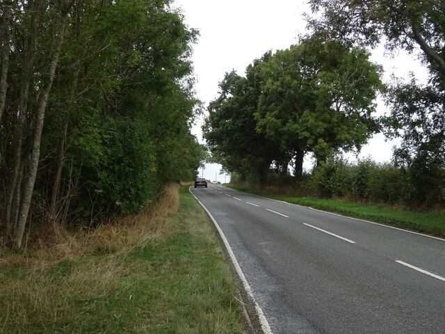
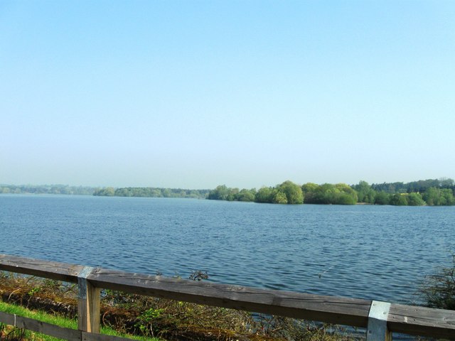
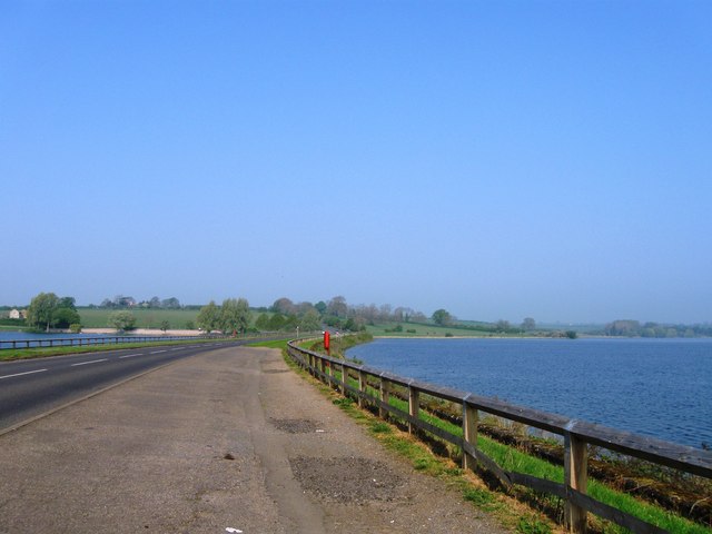
Images are sourced within 2km of 52.319478/-0.838924 or Grid Reference SP7969. Thanks to Geograph Open Source API. All images are credited.

Pitsford Reservoir
Pitsford Reservoir
Brixworth Road - Causeway Pitsford Reservoir
Grassland near New Grange Farm
Gated track to New Grange Farm
Holcot Road towards Brixworth
Rectory Farm Seen from the A43
Rectory Farm
Seen from the A43
Stile on Footpath View east on a footpath leading out of the village of Holcot.
Stile on Footpath
View east on a footpath leading out of the village of Holcot.
Footbridge View east-north-east.  The bridge is on a footpath east of Holcot.
Footbridge
View east-north-east. The bridge is on a footpath east of Holcot.
Munching Horse There are fewer of this muscular breed of horse to be seen now.  I think they used to be called carthorses in the vernacular.  This one had the field to itself.
Munching Horse
There are fewer of this muscular breed of horse to be seen now. I think they used to be called carthorses in the vernacular. This one had the field to itself.
Largely disused Section of a Bridleway View north.  Bridleway should run south-east from here as far as the A43 but is blocked off at this point.  Rectory Farm, over in the next square, can be seen in the distance.
Largely disused Section of a Bridleway
View north. Bridleway should run south-east from here as far as the A43 but is blocked off at this point. Rectory Farm, over in the next square, can be seen in the distance.
Distant Farm The house can be seen on the left near the fir trees.  View south-west from a bridleway at a point where further progress towards the subject is blocked by a makeshift fence.
Distant Farm
The house can be seen on the left near the fir trees. View south-west from a bridleway at a point where further progress towards the subject is blocked by a makeshift fence.
Rectory Farm From a footpath which skirts the farm buildings.
Rectory Farm
From a footpath which skirts the farm buildings.
Pitsford Water
Pitsford Water
Pitsford Water causeway
Geese at Pitsford Reservoir Mostly Canadian geese near to the Brixworth Road causeway.
Geese at Pitsford Reservoir
Mostly Canadian geese near to the Brixworth Road causeway.
Pitsford Reservoir wall By the Brixworth Road causeway.
Pitsford Reservoir wall
By the Brixworth Road causeway.
Pitsford Reservoir
Pitsford Reservoir
Brixworth Road causeway Across Pitsford Water.
Brixworth Road causeway
Across Pitsford Water.
Show me another place!

Holcot is located at Grid Ref: SP7969 (Lat: 52.319478, Lng: -0.838924)

Unitary Authority: West Northamptonshire

Police Authority: Northamptonshire

What 3 Words

///quail.froze.item. Near Sywell, Northamptonshire

Nearby Locations

Holcot Holcot

Related Wikis

St Mary & All Saints' Church, Holcot

St Mary & All Saints' Church is an Anglican Church and the parish church of Holcot. It is a Grade II listed building and stands on the west side of Main...

Holcot

Holcot is a village and civil parish in the West Northamptonshire in England. At the time of the 2001 census, the parish's population was 399 people. At...

A43 road

The A43 is a primary route in the English Midlands and northern South East England, that runs from the M40 motorway near Ardley in Oxfordshire to Stamford...

Hannington, Northamptonshire

Hannington is a village in West Northamptonshire in England. At the time of the 2011 census the parish's population was 251 people. == Ancient history... ==

Nearby Amenities

Located within 500m of 52.319478,-0.838924
Pub
White Swan Inn
Addr City: Northampton
Addr Country: GB
Addr Postcode: NN6 9SP
Addr Street: Main Street
Addr Village: Holcot
Fhrs Authority: West Northamptonshire
Fhrs Id: 859410
Fhrs Local Authority Id: PI/000051893
Lat/Long: 52.321629/-0.838341
Barrier: stile
Lat/Long: 52.3217606/-0.8362748
Post Box
Collection Times: Mo-Fr 16:15; Sa 10:30
Operator: Royal Mail
Post Box Type: lamp
Ref: NN6 302
Royal Cypher: EIIR
Royal Cypher Wikidata: Q33102113
Source: survey
Lat/Long: 52.3197378/-0.8389487
Barrier: bollard
Lat/Long: 52.3211396/-0.8401659
Barrier: stile
Lat/Long: 52.3206629/-0.8419392
Bench
Backrest: yes
Source: survey
Lat/Long: 52.3198137/-0.8389308
Post Box
Brand: Royal Mail
Brand Wikidata: Q638098
Brand Wikipedia: en:Royal Mail
Operator: Royal Mail
Operator Wikidata: Q638098
Post Box Type: lamp
Ref: NN6 134
Lat/Long: 52.3210961/-0.8373722
Public Bookcase
Defibrillator
Booth: K6
Colour: red
Defibrillator Location: on the outside of the red phone box (facing the church) on Main Street, in Holcot
Disused Amenity: telephone
Emergency: defibrillator
Man Made: telephone_box
Public Bookcase Type: phone_box
Lat/Long: 52.3208026/-0.8384988
Bench
Lat/Long: 52.3209383/-0.8385355
Traffic Calming: choker
Lat/Long: 52.3181343/-0.8412292
Traffic Calming: hump
Lat/Long: 52.3187097/-0.8402588
Traffic Calming: hump
Lat/Long: 52.3194027/-0.839068
Defibrillator
Defibrillator Location: Next to steps
Emergency: defibrillator
Ref GB The Circuit: 9C7B6C45-783A-4A08-82FA-AF7000CAD52A
Lat/Long: 52.3193938/-0.8377315
The data included in this document is from www.openstreetmap.org. The data is made available under ODbL.

Have you been to Holcot?

Leave your review of Holcot below (or comments, questions and feedback).