A' Bhuidheanach

Hill, Mountain in Inverness-shire

Scotland

A' Bhuidheanach

Cairn on A’ Bhuidheanach
Cairn on A’ Bhuidheanach Credit: Steven Brown

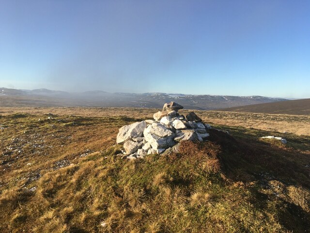
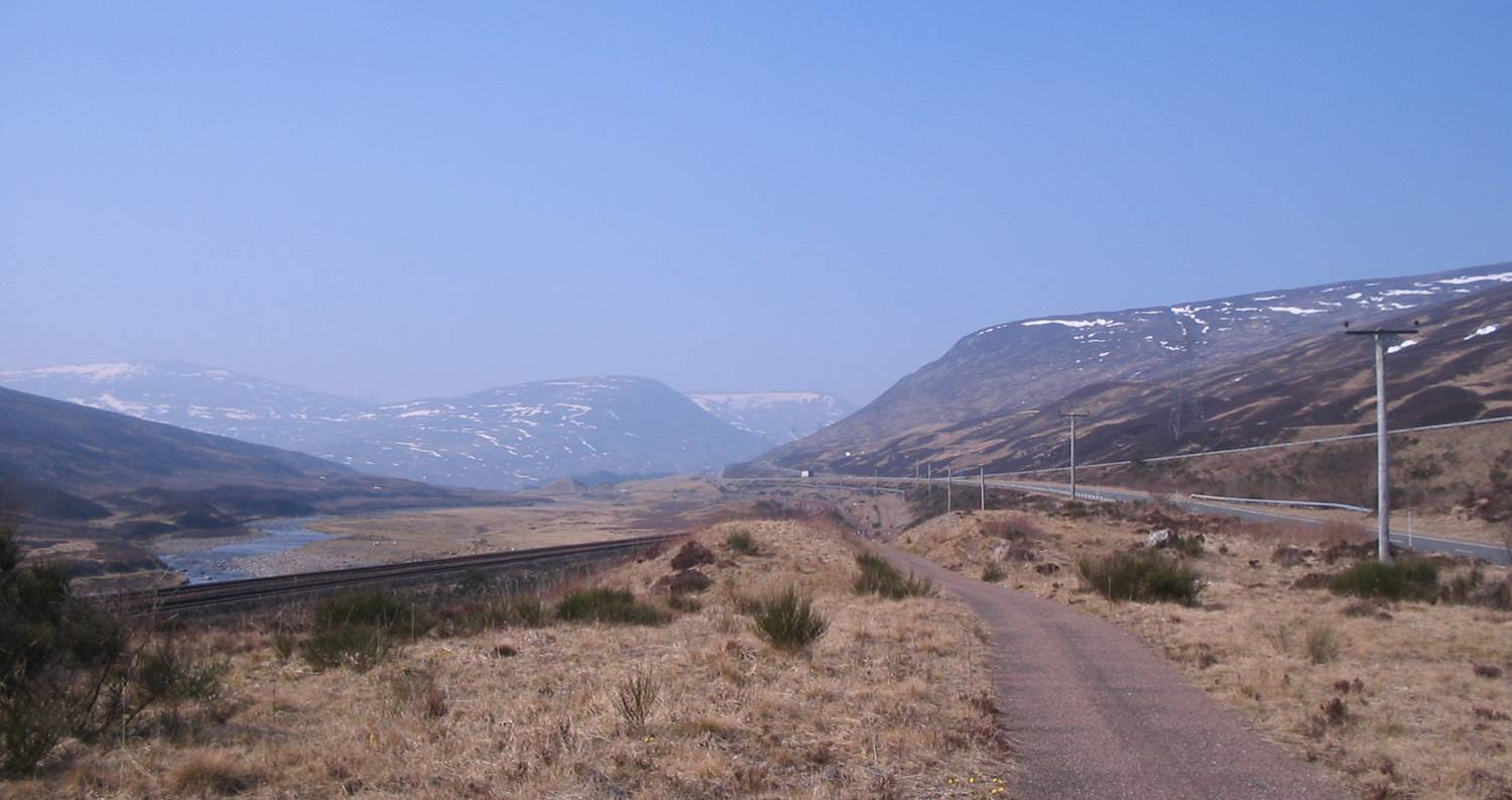
A' Bhuidheanach, located in Inverness-shire, Scotland, is a hill that forms part of the picturesque Drumochter Hills range. With an elevation of 936 meters (3,071 feet), it is classified as a Munro, a Scottish mountain with a height exceeding 3,000 feet. A' Bhuidheanach lies to the east of the A9 road, which connects the cities of Perth and Inverness.

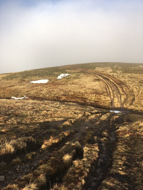
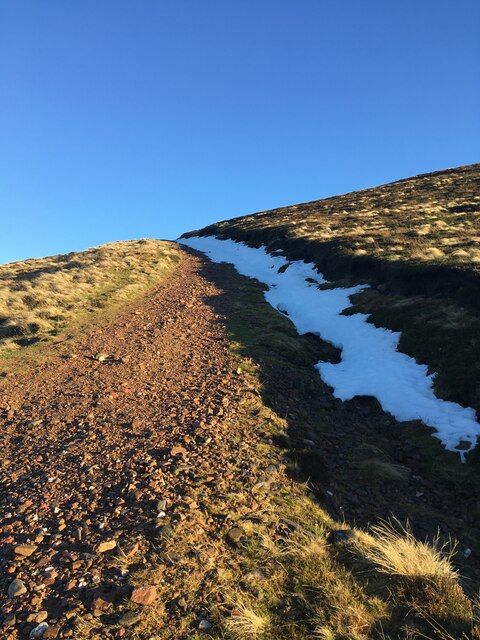
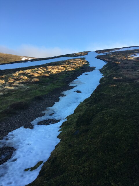
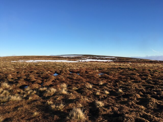
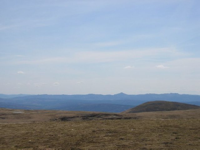
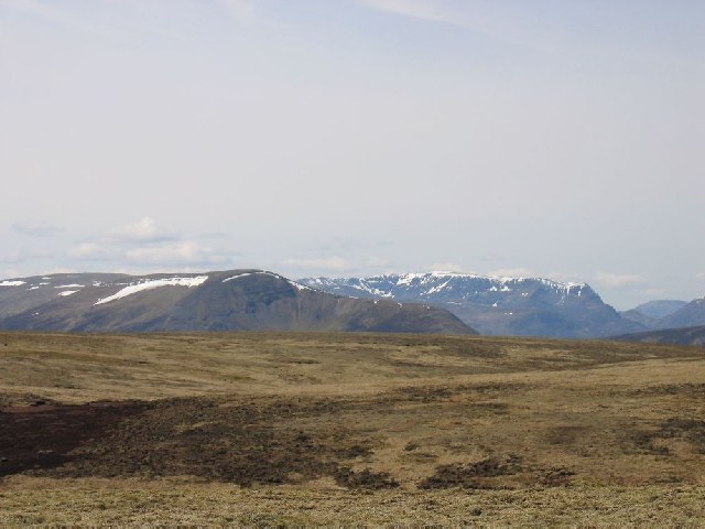
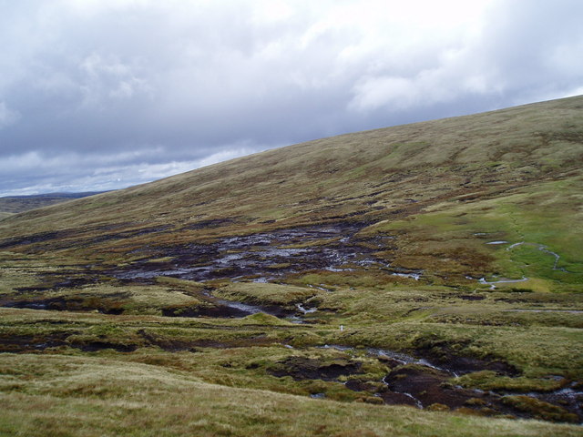
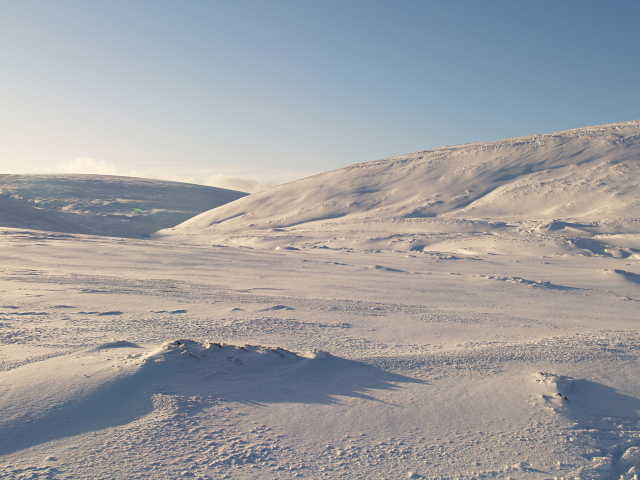
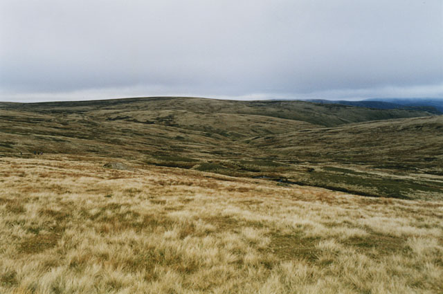
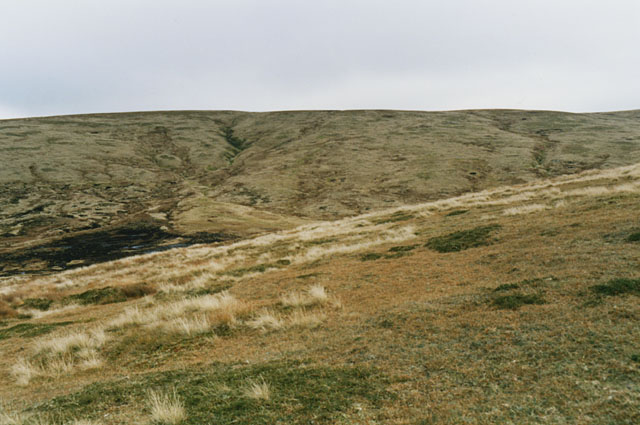
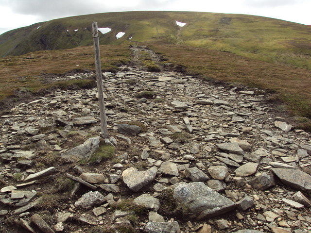
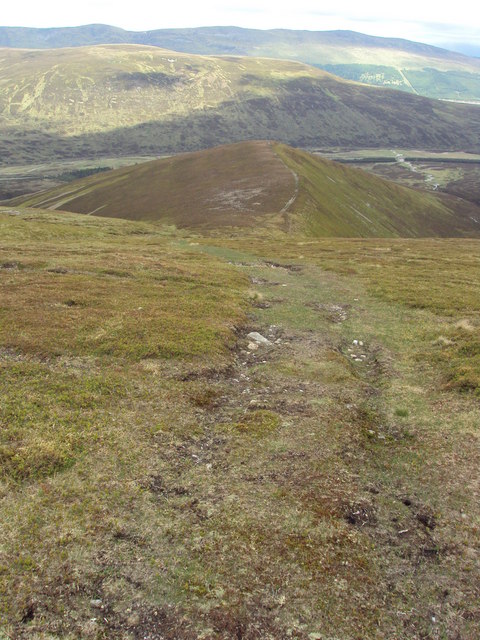
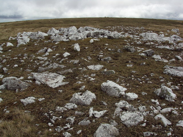
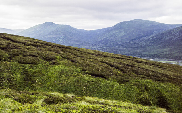
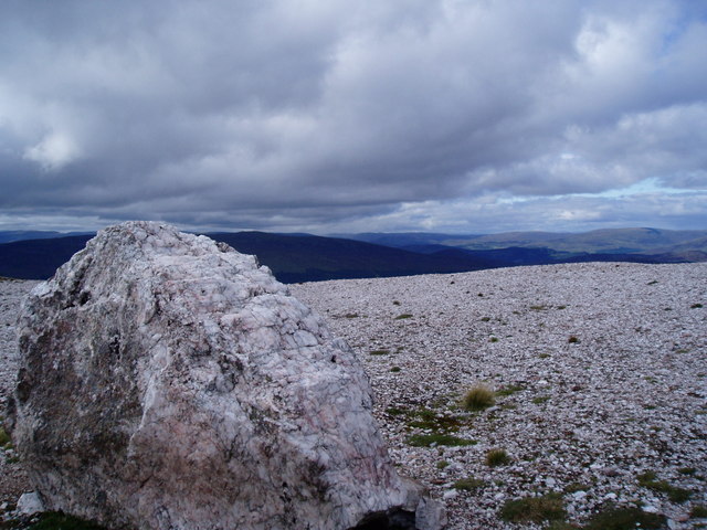
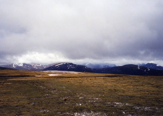
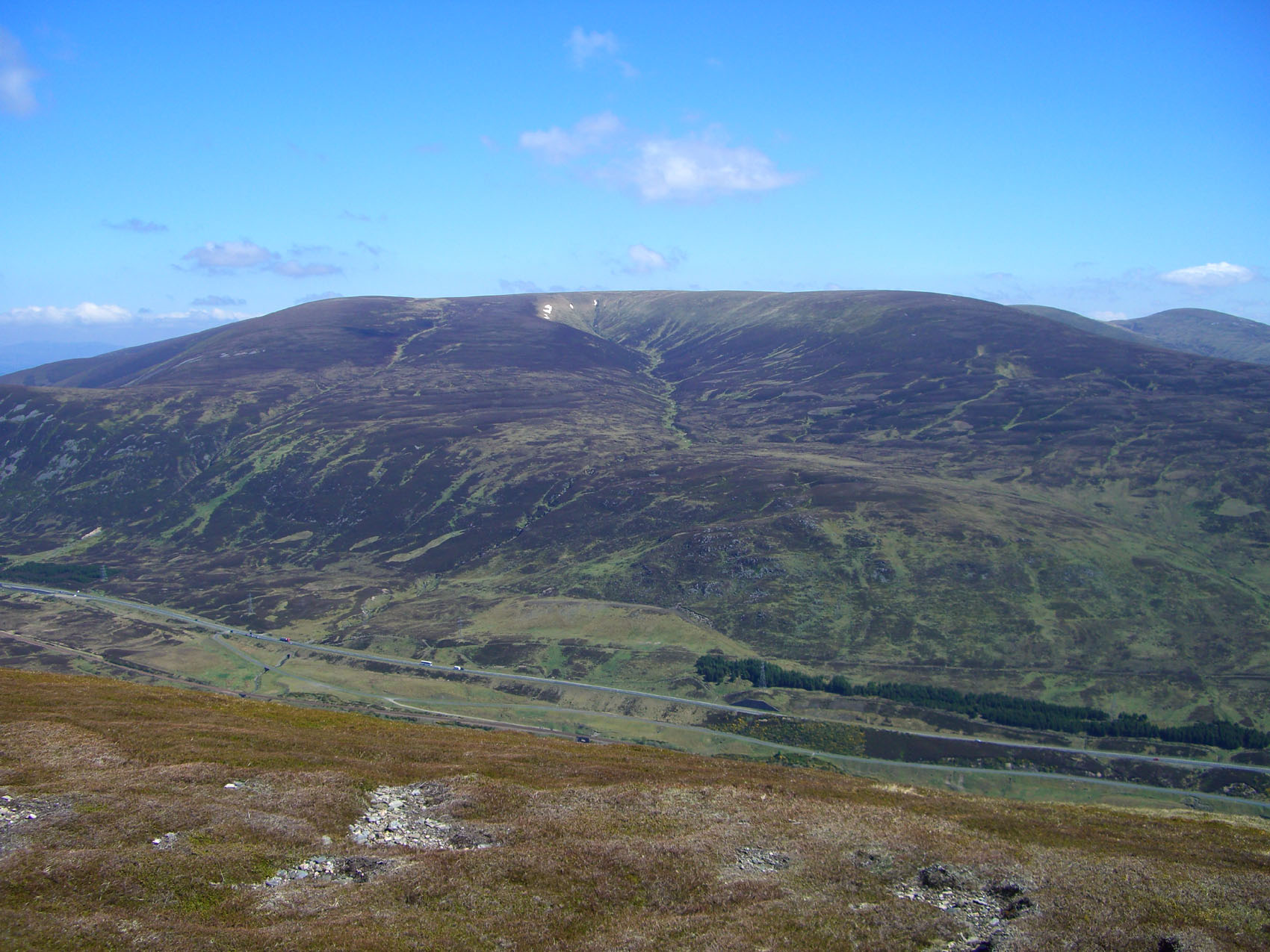
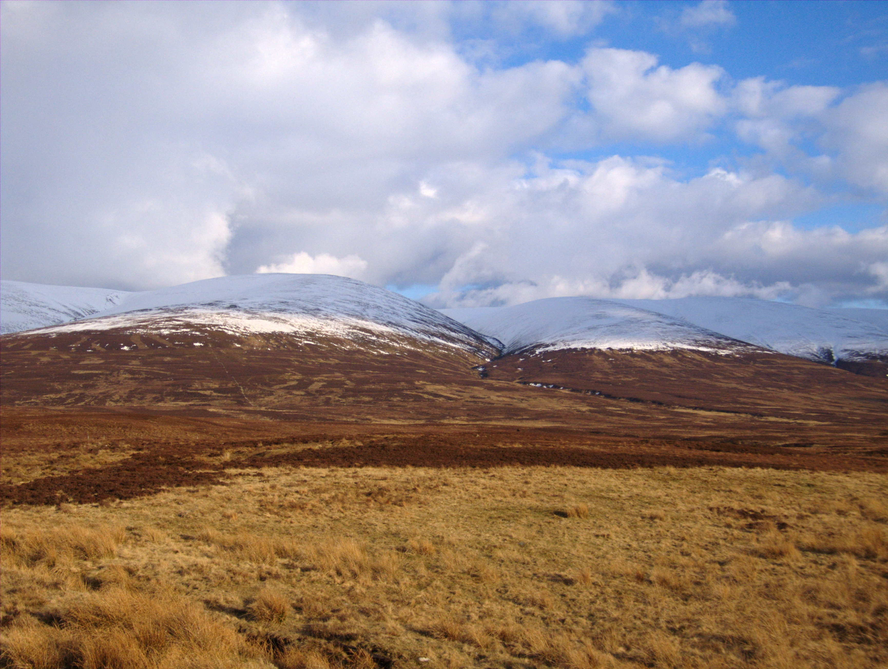
The hill offers stunning panoramic views of the surrounding Highland landscape, with its rugged terrain and vast expanses of heather moorland. Its position within the Drumochter Hills makes it a popular destination for hikers, mountaineers, and nature enthusiasts, who appreciate its accessibility and the diversity of wildlife and flora found in the area.

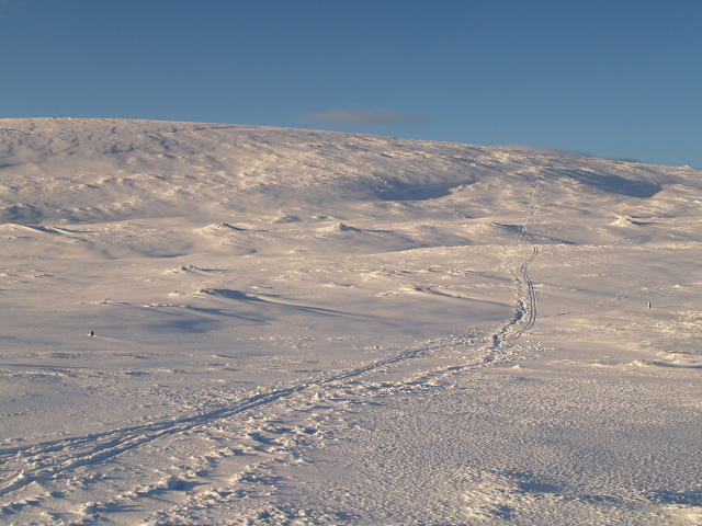
The ascent of A' Bhuidheanach can be approached from various directions, with the most common route starting from the Balsporran Cottages near the A9 road. The climb, while not overly challenging, requires a moderate level of fitness and appropriate hiking gear due to the steep and rocky sections along the way.

Once at the summit, hikers are rewarded with breathtaking views of the surrounding peaks, including the neighboring Munro of Carn na Caim to the southeast. On clear days, it is even possible to catch a glimpse of the Cairngorms National Park in the distance.

A' Bhuidheanach offers a peaceful and remote setting for outdoor enthusiasts seeking to explore the natural beauty of the Scottish Highlands.

If you have any feedback on the listing, please let us know in the comments section below.

A' Bhuidheanach Images

Images are sourced within 2km of 56.888679/-4.2076178 or Grid Reference NN6579. Thanks to Geograph Open Source API. All images are credited.

Cairn on A’ Bhuidheanach
Vehicle track on A’ Bhuidheanach
Hill track near Dalwhinnie
Towards summit of A' Bhuidheanach Mhor
High Moorland The top of Am Meadar can be noted on the right (middleground)
High Moorland
The top of Am Meadar can be noted on the right (middleground)
Just North of A' Bhuidheanach Tremendous view west over the Drumochters to Ben Alder
Just North of A' Bhuidheanach
Tremendous view west over the Drumochters to Ben Alder
Peat hags On the col between A'Bhuidheannach and A'Bhuidheannach Mhor, on the way to the munro A'Bhuidheannach Beag. Keeping to the south-west avoids the mud.
Peat hags
On the col between A'Bhuidheannach and A'Bhuidheannach Mhor, on the way to the munro A'Bhuidheannach Beag. Keeping to the south-west avoids the mud.
Cairngorm snow scene Looking towards the valley of the Allt Coire Chuirn.
Cairngorm snow scene
Looking towards the valley of the Allt Coire Chuirn.
A' Bhuidheanach from the SE A rather rounded summit from this direction, but good skiing in these conditions.
A' Bhuidheanach from the SE
A rather rounded summit from this direction, but good skiing in these conditions.
Moorland around the head of the Allt a' Chama Choire Grassy on the high bits, pretty peaty lower down.
Moorland around the head of the Allt a' Chama Choire
Grassy on the high bits, pretty peaty lower down.
Eastern slopes of A' Bhuidheanach Looking along the slopes towards A' Bhuidheanach Bheag. Nice springy walking, unlike the peat hag down on the left.
Eastern slopes of A' Bhuidheanach
Looking along the slopes towards A' Bhuidheanach Bheag. Nice springy walking, unlike the peat hag down on the left.
Stony track along the top of  a wide ridge to A' Bhuidheanach The ridge up to the A' Bhuidheanach plateau becomes very level and wide for some 70 metres or so. An unusual feature - these ridges are typically much narrower and/or steeper.
Stony track along the top of a wide ridge to A' Bhuidheanach
The ridge up to the A' Bhuidheanach plateau becomes very level and wide for some 70 metres or so. An unusual feature - these ridges are typically much narrower and/or steeper.
Looking down the ridge At the top of the wide ridge rising from the A9 to the A' Bhuidheanach plateau, looking back.
Looking down the ridge
At the top of the wide ridge rising from the A9 to the A' Bhuidheanach plateau, looking back.
Quartz litter on the moor The drab moor landscape relieved by brilliant white quartz blocks.
Quartz litter on the moor
The drab moor landscape relieved by brilliant white quartz blocks.
Ground on south-west side of Allt Coire Bhotie An image recorded from a hill road once serving a quarry climbs to the edge of the valley of Allt Coire Bhotie above 600 m., where it goes through a sharp bend.
A' Mharconaich & Geal Charn are the two distant mountains across the Drumochter Pass.
Ground on south-west side of Allt Coire Bhotie
An image recorded from a hill road once serving a quarry climbs to the edge of the valley of Allt Coire Bhotie above 600 m., where it goes through a sharp bend. A' Mharconaich & Geal Charn are the two distant mountains across the Drumochter Pass.
Quartz Quarry above Drummochter Pass The quarry shown on the map is a quartz outcrop which may be still be in use for quartz chippings
Quartz Quarry above Drummochter Pass
The quarry shown on the map is a quartz outcrop which may be still be in use for quartz chippings
Drumochter Hills View across the high plateau near spot height 914. The light area above the snow patch is quartz just above an old quartz quarry. Bland hills but good for mountain hares, birds and deer.
Drumochter Hills
View across the high plateau near spot height 914. The light area above the snow patch is quartz just above an old quartz quarry. Bland hills but good for mountain hares, birds and deer.
Show me another place!

A' Bhuidheanach is located at Grid Ref: NN6579 (Lat: 56.888679, Lng: -4.2076178)

Unitary Authority: Highland

Police Authority: Highlands and Islands

What 3 Words

///clown.speedy.marmalade. Near Newtonmore, Highland

Related Wikis

A' Bhuidheanach Bheag

A' Bhuidheanach Bheag is a Scottish mountain situated on the eastern side of the Pass of Drumochter, some 24 km WNW of Blair Atholl. The mountain straddles...

Càrn na Caim

Carn na Caim (941 m) is a mountain in the Grampian Mountains of Scotland. It lies on the border of Highland and Perth and Kinross, east of the Pass of...

Pass of Drumochter

The Pass of Drumochter (Scottish Gaelic: Druim Uachdair) meaning simply 'high ridge' is the main mountain pass between the northern and southern central...

Dalwhinnie

Dalwhinnie ( dal-WHIN-ee; Scottish Gaelic: Dail Chuinnidh "meeting place") is a small village in the Scottish Highlands. Dalwhinnie is located at the head...

Nearby Amenities

Located within 500m of 56.888679,-4.2076178
Coire Bhotie
Place: locality
Lat/Long: 56.8897842/-4.2068032
A' Bhuidheanach
Ele: 873
Natural: peak
Source: OS7
Lat/Long: 56.8846076/-4.2066102
Ford: yes
Lat/Long: 56.8900226/-4.2006703
The data included in this document is from www.openstreetmap.org. The data is made available under ODbL.

Have you been to A' Bhuidheanach?

Leave your review of A' Bhuidheanach below (or comments, questions and feedback).