Coire Bhotie

Corrie (Glacial Valley) in Inverness-shire

Scotland

Coire Bhotie

Cairn on A’ Bhuidheanach
Cairn on A’ Bhuidheanach Credit: Steven Brown

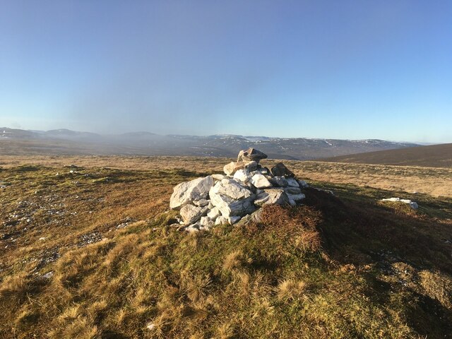
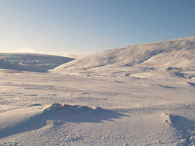
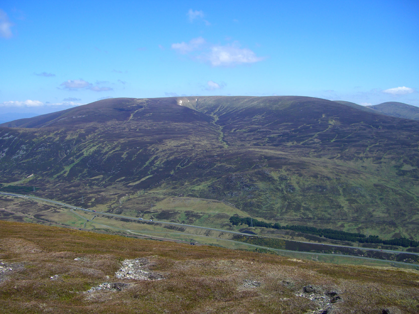
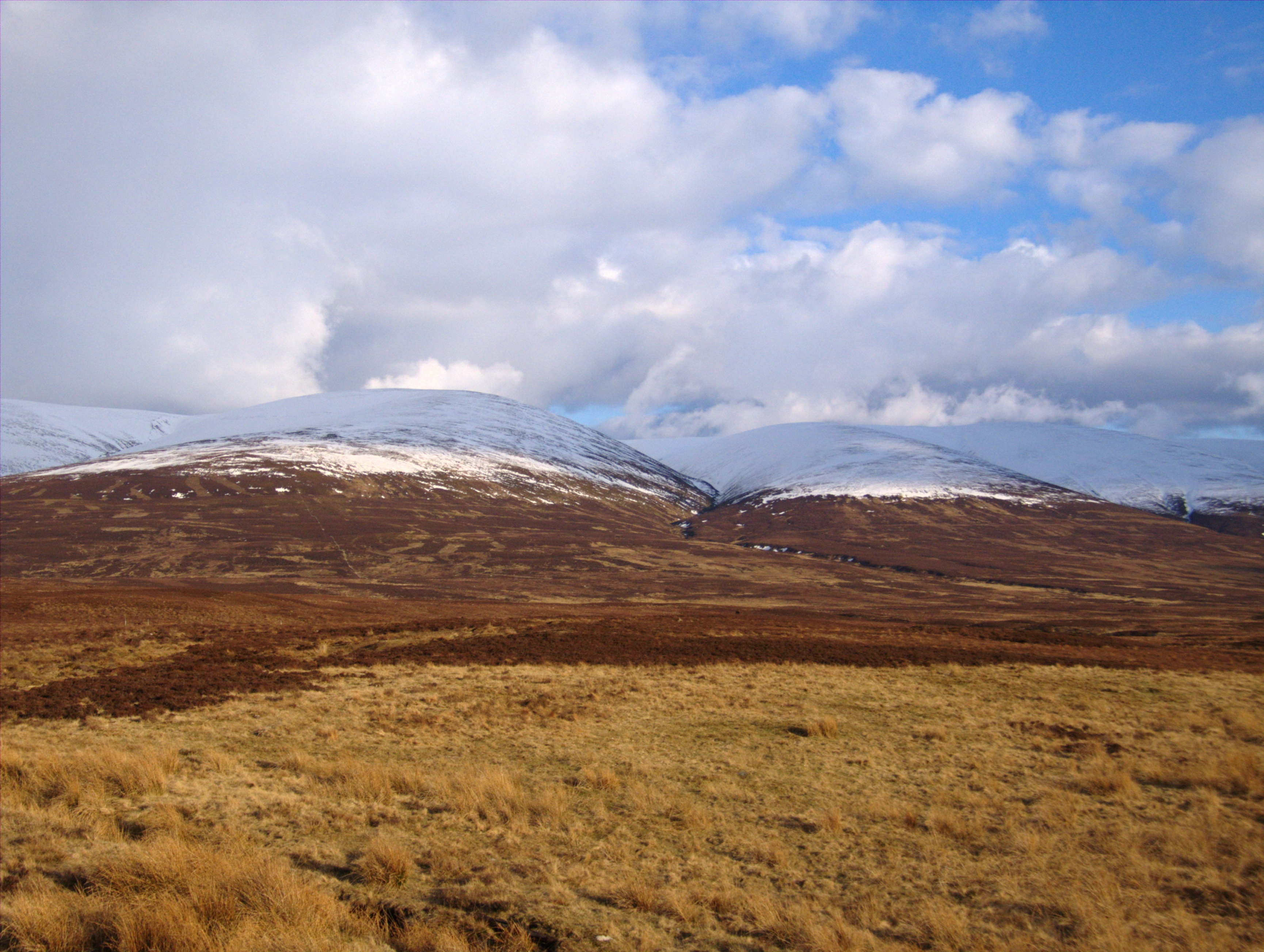
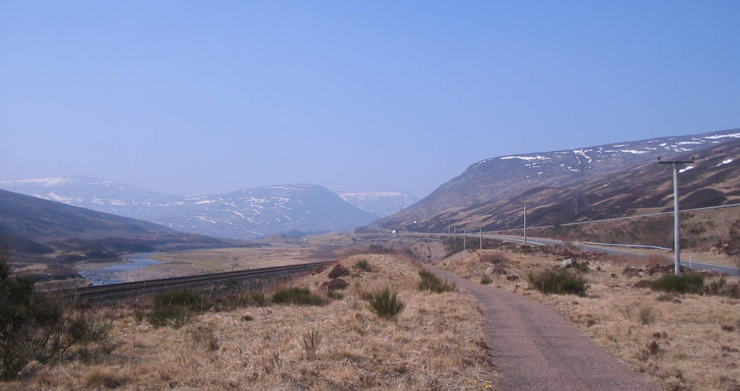
Coire Bhotie, located in Inverness-shire, Scotland, is a stunning glacial valley also known as a corrie. It is situated within the Cairngorms National Park, a picturesque region renowned for its rugged landscapes and rich biodiversity.

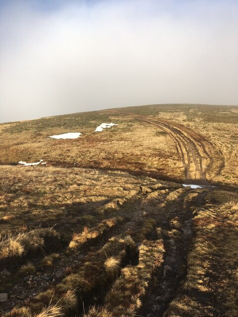
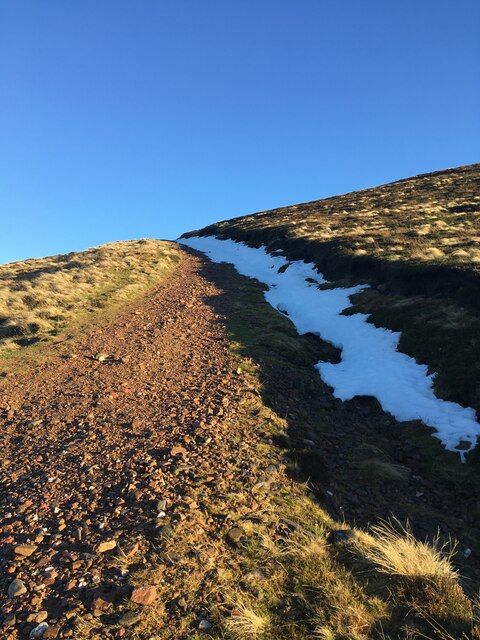
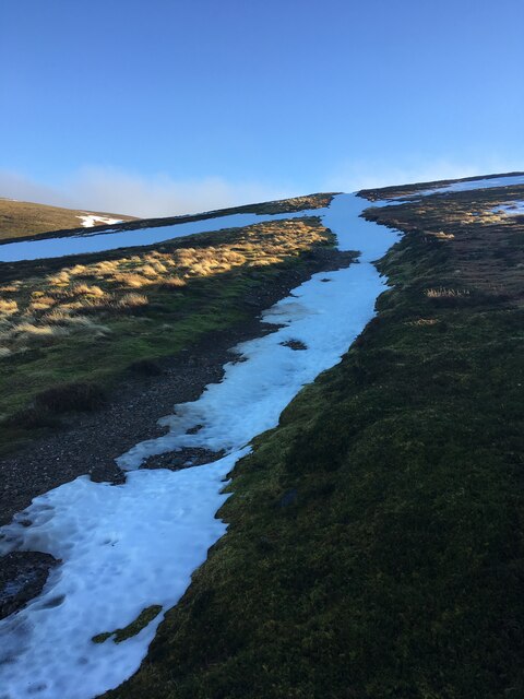
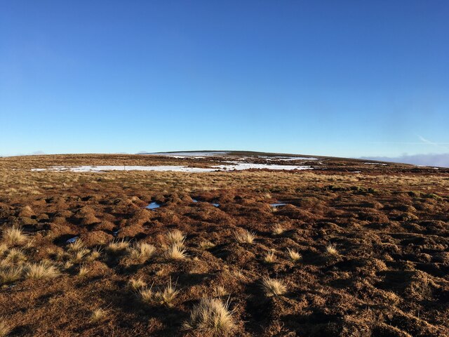
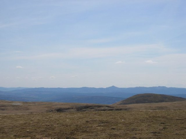
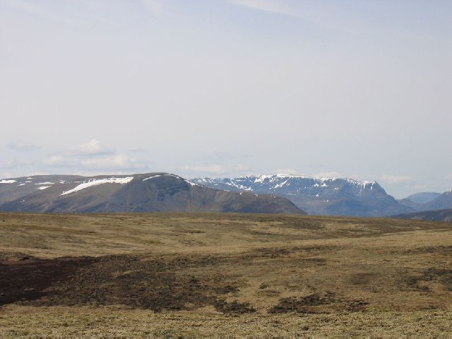
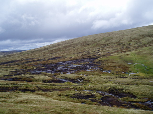
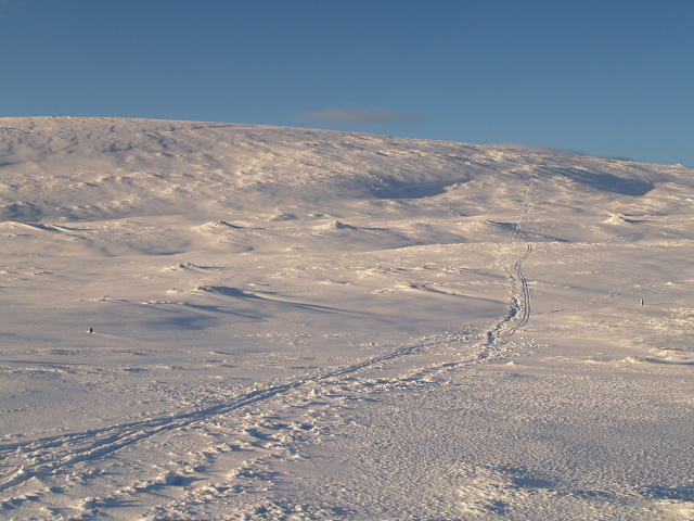
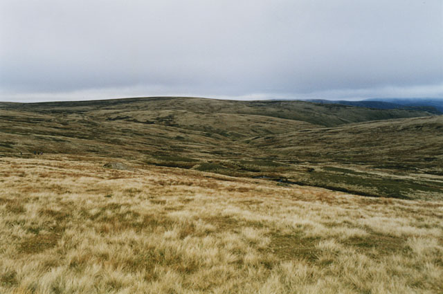
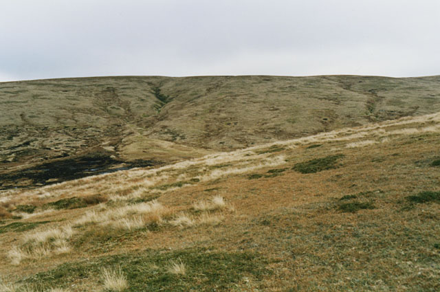
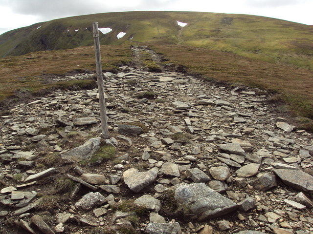
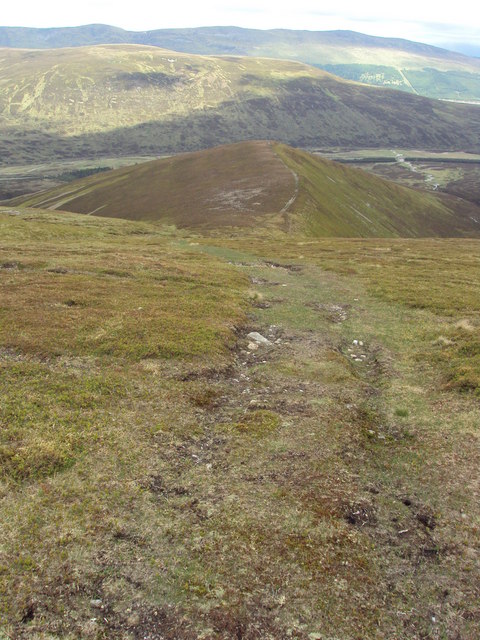
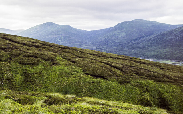
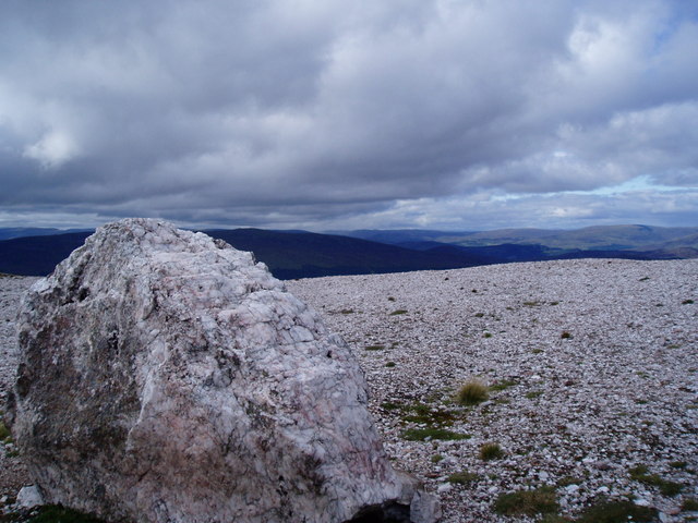
Coire Bhotie is nestled amidst the towering mountains of the Cairngorms range, offering visitors a breathtaking and secluded natural setting. The corrie is surrounded by steep slopes, formed by glaciation during the last ice age, which give it a distinctive U-shaped profile. The valley floor is covered in heather and grasses, providing a habitat for a variety of plant and animal species.

The corrie is a popular destination for hikers and mountaineers, who are drawn to its dramatic scenery and challenging terrain. Several hiking trails wind through the valley, offering different levels of difficulty and panoramic views of the surrounding mountains. The area is also home to a diverse range of wildlife, including red deer, mountain hares, and golden eagles, providing nature enthusiasts with ample opportunities for wildlife spotting and photography.

Coire Bhotie is an ideal location for those seeking outdoor adventures, whether it be hiking, climbing, or simply enjoying the tranquility of nature. The corrie's remote and untouched environment makes it a perfect escape from the hustle and bustle of everyday life. It serves as a testament to the power of glacial forces and the beauty of Scotland's natural landscapes, drawing visitors from all over the world to experience its awe-inspiring charm.

If you have any feedback on the listing, please let us know in the comments section below.

Coire Bhotie Images

Images are sourced within 2km of 56.891093/-4.2062826 or Grid Reference NN6579. Thanks to Geograph Open Source API. All images are credited.

Cairn on A’ Bhuidheanach
Vehicle track on A’ Bhuidheanach
Hill track near Dalwhinnie
Towards summit of A' Bhuidheanach Mhor
High Moorland The top of Am Meadar can be noted on the right (middleground)
High Moorland
The top of Am Meadar can be noted on the right (middleground)
Just North of A' Bhuidheanach Tremendous view west over the Drumochters to Ben Alder
Just North of A' Bhuidheanach
Tremendous view west over the Drumochters to Ben Alder
Peat hags On the col between A'Bhuidheannach and A'Bhuidheannach Mhor, on the way to the munro A'Bhuidheannach Beag. Keeping to the south-west avoids the mud.
Peat hags
On the col between A'Bhuidheannach and A'Bhuidheannach Mhor, on the way to the munro A'Bhuidheannach Beag. Keeping to the south-west avoids the mud.
Cairngorm snow scene Looking towards the valley of the Allt Coire Chuirn.
Cairngorm snow scene
Looking towards the valley of the Allt Coire Chuirn.
A' Bhuidheanach from the SE A rather rounded summit from this direction, but good skiing in these conditions.
A' Bhuidheanach from the SE
A rather rounded summit from this direction, but good skiing in these conditions.
Moorland around the head of the Allt a' Chama Choire Grassy on the high bits, pretty peaty lower down.
Moorland around the head of the Allt a' Chama Choire
Grassy on the high bits, pretty peaty lower down.
Eastern slopes of A' Bhuidheanach Looking along the slopes towards A' Bhuidheanach Bheag. Nice springy walking, unlike the peat hag down on the left.
Eastern slopes of A' Bhuidheanach
Looking along the slopes towards A' Bhuidheanach Bheag. Nice springy walking, unlike the peat hag down on the left.
Stony track along the top of  a wide ridge to A' Bhuidheanach The ridge up to the A' Bhuidheanach plateau becomes very level and wide for some 70 metres or so. An unusual feature - these ridges are typically much narrower and/or steeper.
Stony track along the top of a wide ridge to A' Bhuidheanach
The ridge up to the A' Bhuidheanach plateau becomes very level and wide for some 70 metres or so. An unusual feature - these ridges are typically much narrower and/or steeper.
Looking down the ridge At the top of the wide ridge rising from the A9 to the A' Bhuidheanach plateau, looking back.
Looking down the ridge
At the top of the wide ridge rising from the A9 to the A' Bhuidheanach plateau, looking back.
Ground on south-west side of Allt Coire Bhotie An image recorded from a hill road once serving a quarry climbs to the edge of the valley of Allt Coire Bhotie above 600 m., where it goes through a sharp bend.
A' Mharconaich & Geal Charn are the two distant mountains across the Drumochter Pass.
Ground on south-west side of Allt Coire Bhotie
An image recorded from a hill road once serving a quarry climbs to the edge of the valley of Allt Coire Bhotie above 600 m., where it goes through a sharp bend. A' Mharconaich & Geal Charn are the two distant mountains across the Drumochter Pass.
Descending Carn na Caim Descending Carn na Caim heading for Wade Bridge
Descending Carn na Caim
Descending Carn na Caim heading for Wade Bridge
Quartz Quarry above Drummochter Pass The quarry shown on the map is a quartz outcrop which may be still be in use for quartz chippings
Quartz Quarry above Drummochter Pass
The quarry shown on the map is a quartz outcrop which may be still be in use for quartz chippings
Drummochter Pass from East Looking across the A9 and the north end of the Drummochter Pass to Geal Charn and A Mharconaich
Drummochter Pass from East
Looking across the A9 and the north end of the Drummochter Pass to Geal Charn and A Mharconaich
Show me another place!

Coire Bhotie is located at Grid Ref: NN6579 (Lat: 56.891093, Lng: -4.2062826)

Unitary Authority: Highland

Police Authority: Highlands and Islands

What 3 Words

///thinnest.blanks.ringers. Near Newtonmore, Highland

Related Wikis

A' Bhuidheanach Bheag

A' Bhuidheanach Bheag is a Scottish mountain situated on the eastern side of the Pass of Drumochter, some 24 km WNW of Blair Atholl. The mountain straddles...

Càrn na Caim

Carn na Caim (941 m) is a mountain in the Grampian Mountains of Scotland. It lies on the border of Highland and Perth and Kinross, east of the Pass of...

Pass of Drumochter

The Pass of Drumochter (Scottish Gaelic: Druim Uachdair) meaning simply 'high ridge' is the main mountain pass between the northern and southern central...

Dalwhinnie

Dalwhinnie ( dal-WHIN-ee; Scottish Gaelic: Dail Chuinnidh "meeting place") is a small village in the Scottish Highlands. Dalwhinnie is located at the head...

Nearby Amenities

Located within 500m of 56.891093,-4.2062826
Coire Bhotie
Place: locality
Lat/Long: 56.8897842/-4.2068032
Ford: yes
Lat/Long: 56.8900226/-4.2006703
The data included in this document is from www.openstreetmap.org. The data is made available under ODbL.

Have you been to Coire Bhotie?

Leave your review of Coire Bhotie below (or comments, questions and feedback).