Holbeach Clough

Settlement in Lincolnshire South Holland

England

Holbeach Clough

Stockwell Gate
Stockwell Gate Credit: Alex McGregor

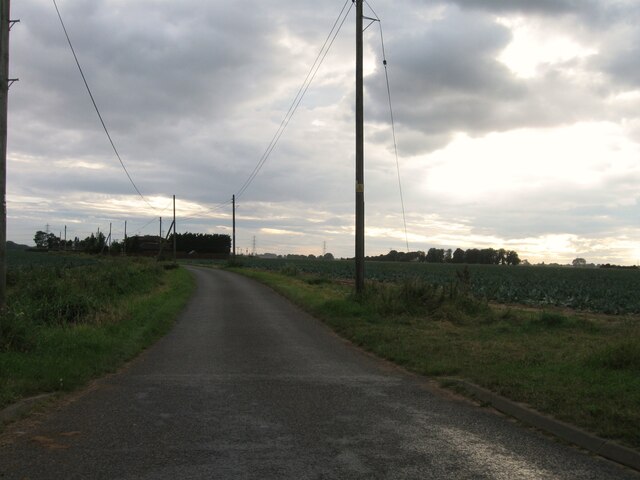
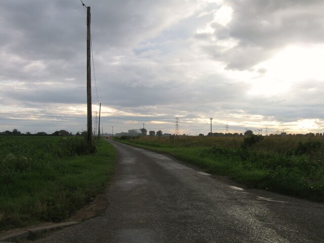
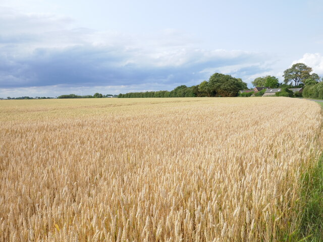
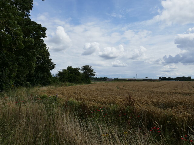
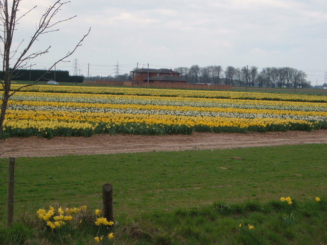
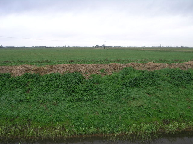
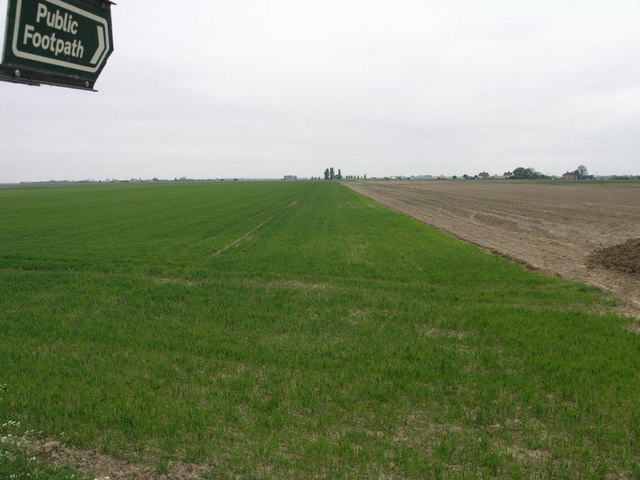
Holbeach Clough is a small village located in the county of Lincolnshire, in the East Midlands region of England. Situated approximately 10 miles east of Spalding, the village lies on the eastern edge of the Lincolnshire Fens, an expansive flat area known for its rich agricultural land.

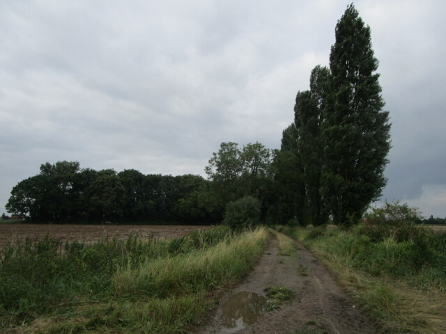
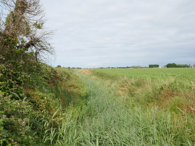
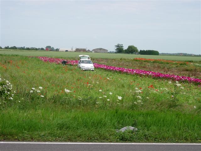
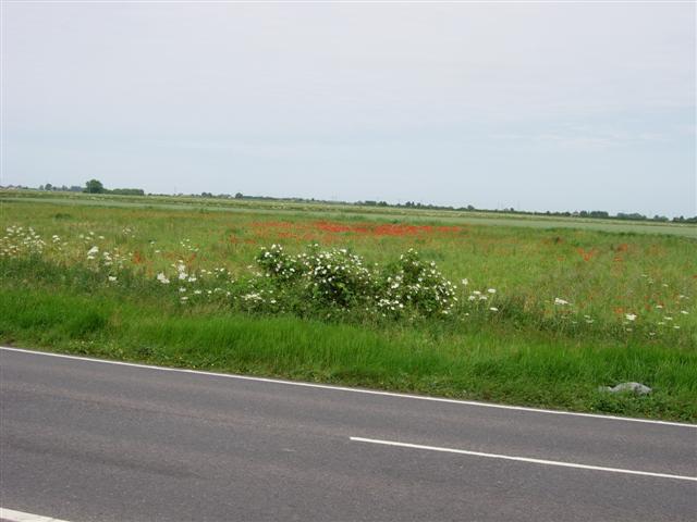
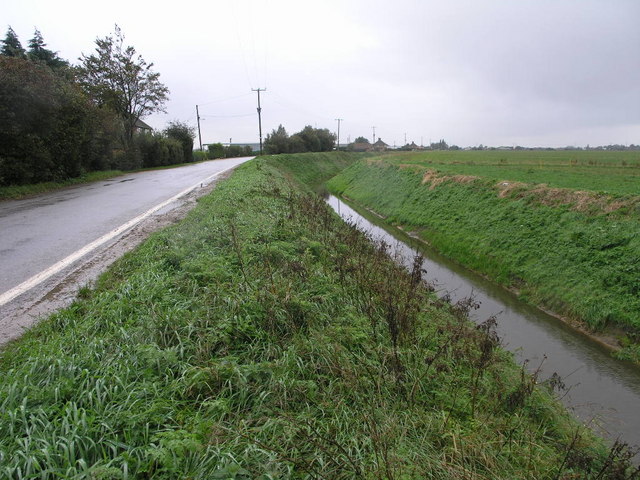
With a population of around 500 residents, Holbeach Clough maintains a close-knit community atmosphere. The village is characterized by picturesque landscapes, featuring open fields, small woodlands, and nearby waterways. The area is a haven for nature enthusiasts and birdwatchers, as it is home to a variety of bird species and wildlife.

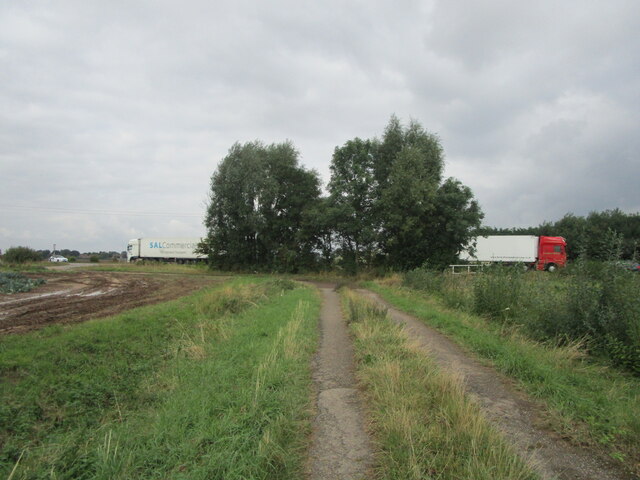
Historically, Holbeach Clough has been primarily an agricultural community, with farming playing a significant role in its economy. However, like many rural areas, the village has seen a decline in farming activity in recent years, resulting in a diversification of employment opportunities for its residents.

The village boasts a range of amenities, including a local pub, church, and village hall, which serves as a focal point for community events and gatherings. Holbeach Clough is also well-connected to nearby towns and cities, with good transport links via road and rail.

Overall, Holbeach Clough offers a peaceful and idyllic setting for those seeking a rural lifestyle. With its natural beauty and strong community spirit, the village provides a charming retreat within the Lincolnshire countryside.

If you have any feedback on the listing, please let us know in the comments section below.

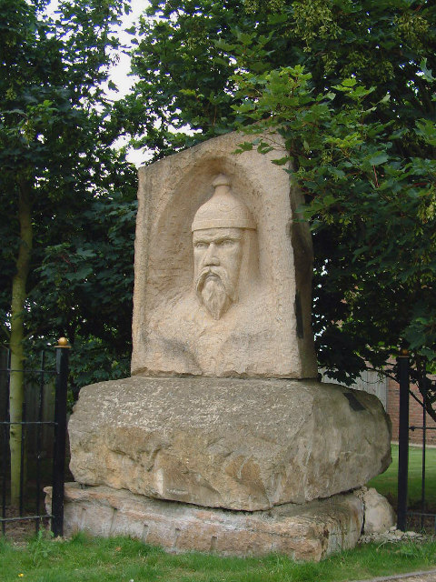
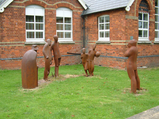
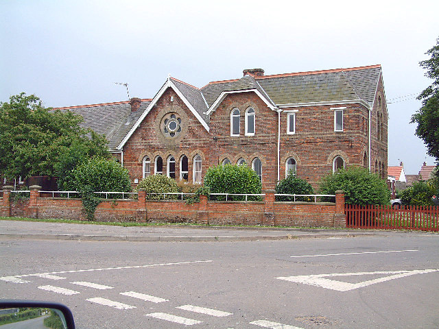
Holbeach Clough Images

Images are sourced within 2km of 52.825102/-0.001397 or Grid Reference TF3427. Thanks to Geograph Open Source API. All images are credited.

Stockwell Gate
Stockwell Gate
Stockwell Gate
Stockwell Gate
Hungerdike Gate A farm track and footpath.
Hungerdike Gate
A farm track and footpath.
Hungerdike Gate Approaching the A17.
Hungerdike Gate
Approaching the A17.
Drain off Goddam's Lane
Whaplode River near Welland House There is some water in there somewhere!
Whaplode River near Welland House
There is some water in there somewhere!
Wheat field off Saltney Gate
Sports field off Penny Hill Road, Holbeach Part of Holbeach United Community Sports Academy.
Sports field off Penny Hill Road, Holbeach
Part of Holbeach United Community Sports Academy.
Wheat field off Peartree House Road
Welcome to Saracens Head Village marker on the outskirts of Saracens Head
Welcome to Saracens Head
Village marker on the outskirts of Saracens Head
Saracen's Head Sculptures outside the Saracen's Head Community Centre
Saracen's Head
Sculptures outside the Saracen's Head Community Centre
Holbeach Bank The infants and junior school at Holbeach Bank
Holbeach Bank
The infants and junior school at Holbeach Bank
Farming in spring! Beside the A17 near Holbeach.
Farming in spring!
Beside the A17 near Holbeach.
Man cutting flowers for sale, near the A17 Patches of flowers like this one, apparently grown for sale, border the A17 on this stretch.
Man cutting flowers for sale, near the A17
Patches of flowers like this one, apparently grown for sale, border the A17 on this stretch.
Flat fens landscape near the A19
A Bend in the Road Bends in the road may be common in most areas, but in fenland they are something to be celebrated.  This is usually done by bending the drain that inevitably runs alongside.
A Bend in the Road
Bends in the road may be common in most areas, but in fenland they are something to be celebrated. This is usually done by bending the drain that inevitably runs alongside.
Grey Sky Green Bank The green bank is at the side of Holbeach River the grey sky is caused by rain clouds.
Grey Sky Green Bank
The green bank is at the side of Holbeach River the grey sky is caused by rain clouds.
Flat Fenland Footpath This footpath leads from a road between Saracen's Head and Moulton Seas End, to the nearby A17.
Flat Fenland Footpath
This footpath leads from a road between Saracen's Head and Moulton Seas End, to the nearby A17.
Show me another place!

Holbeach Clough is located at Grid Ref: TF3427 (Lat: 52.825102, Lng: -0.001397)

Division: Parts of Holland

Administrative County: Lincolnshire

District: South Holland

Police Authority: Lincolnshire

What 3 Words

///upgrading.coiling.baroness. Near Holbeach, Lincolnshire

Related Wikis

Holbeach Clough

Holbeach Clough (today synonymous with Saracen's Head) is a fenland village in the South Holland district of Lincolnshire, England. It is just under 2...

Holbeach Bank

Holbeach Bank is a fenland village in the South Holland district of Lincolnshire, England. It is just under 2 miles (3 km) north from the market town of...

National Centre for Food Manufacturing

The National Centre for Food Manufacturing (NCFM) is the food science campus of the University of Lincoln, situated on Park Road at Holbeach in the south...

University Academy Holbeach

University Academy Holbeach is a co-educational secondary school and sixth form located in Holbeach, Lincolnshire, England. == History == === Secondary... ===

Nearby Amenities

Located within 500m of 52.825102,-0.001397
Holbeach Clough
Is In: Lincolnshire, England, UK
Place: hamlet
Source: Bing
Lat/Long: 52.824999/-0.0017437
Bus Stop
Old Sluice Road
Naptan AtcoCode: 270000009644
Naptan Bearing: E
Naptan CommonName: Old Sluice Road
Naptan Indicator: adj
Naptan Landmark: Old Sluice Road
Naptan NaptanCode: linjdmpa
Naptan Street: Roman Bank
Naptan Verified: no
Source: naptan_import
Lat/Long: 52.826071/0.0012572
Bus Stop
Washway Road
Naptan AtcoCode: 270002700660
Naptan Bearing: SE
Naptan CommonName: Washway Road
Naptan Indicator: o/s
Naptan Landmark: Greenfield Cottages
Naptan Street: Washway Road
Naptan Verified: no
Source: naptan_import
Lat/Long: 52.8221989/-0.004264
Bus Stop
Old Sluice Road
Naptan AtcoCode: 2700LHCB4246
Naptan Bearing: W
Naptan CommonName: Old Sluice Road
Naptan Indicator: opp
Naptan Landmark: Old Sluice Road
Naptan NaptanCode: lindjmgw
Naptan Street: Roman Bank
Naptan Verified: no
Source: naptan_import
Lat/Long: 52.8258658/0.000622
Bus Stop
Washway Road
Naptan AtcoCode: 2700LHCW3609
Naptan Bearing: NW
Naptan CommonName: Washway Road
Naptan Indicator: opp
Naptan Landmark: Greenfield Cottages
Naptan NaptanCode: lindatma
Naptan Street: Washway Road
Naptan Verified: no
Source: naptan_import
Lat/Long: 52.8220741/-0.0043291
Post Box
Collection Times: Mo-Fr 09:00; Sa 07:00
Description: Embedded into, and flush with, the hedge on the NE quadrant of this junction./Roman Bank / (Old) Sluice Road / Clough Road / (unnamed):Feb24 Hedge has gone
Operator: Royal Mail
Operator Wikidata: Q638098
Post Box Mounting: pier
Post Box Type: lamp
Ref: PE12 44
Source: photographic interpretation
Lat/Long: 52.826027/0.001216
Little Common
Place: locality
Source: Bing
Lat/Long: 52.8286027/-0.0011663
Clough Bridge
Place: locality
Source: Bing
Lat/Long: 52.8259558/0.0009011
Greenfield Farm
Place: farm
Source: Bing
Lat/Long: 52.8216371/-0.0034715
The data included in this document is from www.openstreetmap.org. The data is made available under ODbL.

Have you been to Holbeach Clough?

Leave your review of Holbeach Clough below (or comments, questions and feedback).