Holbeach Bank

Settlement in Lincolnshire South Holland

England

Holbeach Bank

Stockwell Gate
Stockwell Gate Credit: Alex McGregor

Holbeach Bank is a small village located in the county of Lincolnshire, England. Situated just 4 miles south-east of the town of Holbeach, it falls within the South Holland district.

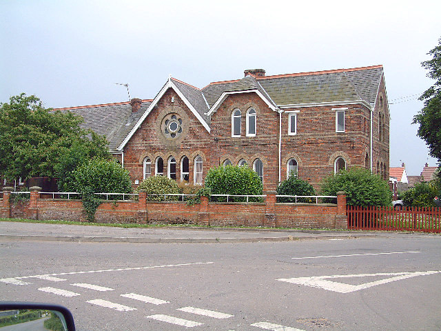
The village is primarily residential, with a population of around 500 people. It is characterized by a mix of traditional brick-built houses and more modern properties, providing a range of housing options for residents. The community is close-knit and friendly, with a strong sense of local pride.

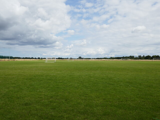
Despite its small size, Holbeach Bank boasts a few amenities for residents. These include a local pub, which serves as a popular gathering spot for locals, providing a place to socialize and enjoy a drink or meal. Additionally, there is a small convenience store that caters to the daily needs of the community.

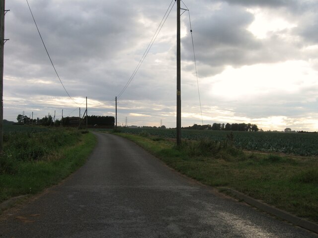
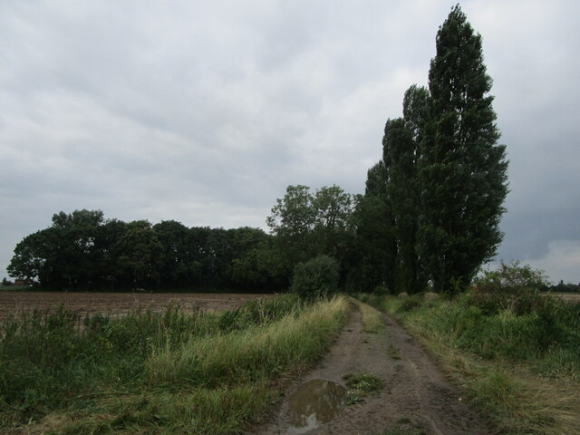
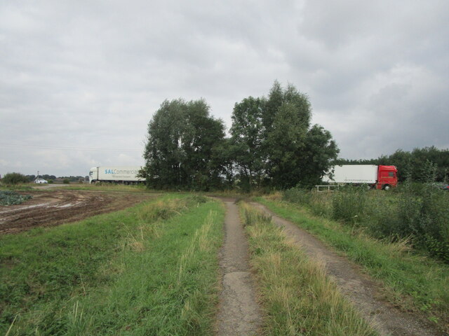
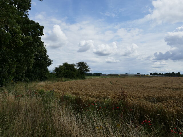
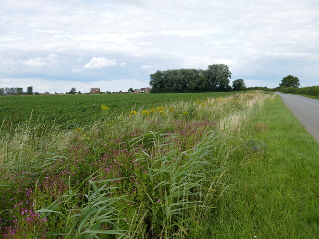
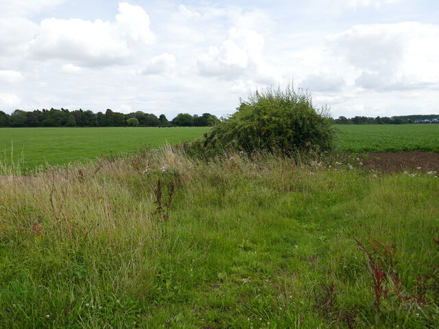
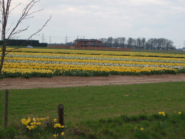
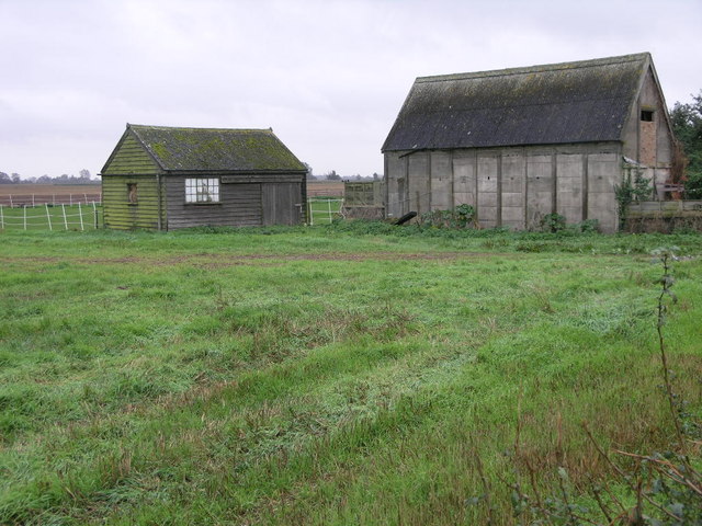
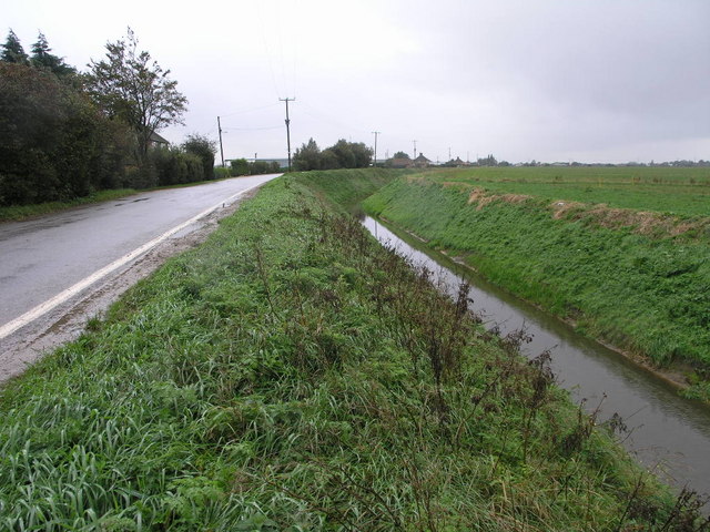
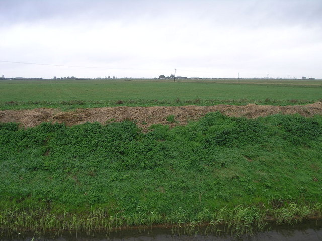
The surrounding area offers beautiful countryside and agricultural landscapes, typical of rural Lincolnshire. The flat terrain is dotted with agricultural fields, mainly used for arable farming. The village is well-connected to neighboring areas, with good road links to Holbeach and nearby towns.

Holbeach Bank is also within reach of various attractions and amenities. The nearby market town of Holbeach offers a wider range of shopping, dining, and recreational facilities. Additionally, the coastal town of Skegness is approximately 16 miles away, providing access to the sandy beaches and seaside entertainment.

In summary, Holbeach Bank is a charming, rural village in Lincolnshire, offering a peaceful and tight-knit community with easy access to nearby amenities and attractions.

If you have any feedback on the listing, please let us know in the comments section below.

Holbeach Bank Images

Images are sourced within 2km of 52.827073/0.009678 or Grid Reference TF3527. Thanks to Geograph Open Source API. All images are credited.

Stockwell Gate
Stockwell Gate
Hungerdike Gate A farm track and footpath.
Hungerdike Gate
A farm track and footpath.
Hungerdike Gate Approaching the A17.
Hungerdike Gate
Approaching the A17.
Sports field off Penny Hill Road, Holbeach Part of Holbeach United Community Sports Academy.
Sports field off Penny Hill Road, Holbeach
Part of Holbeach United Community Sports Academy.
Wheat field off Peartree House Road
Drain alongside Peartree House Road
Hedge between two fields off Eastern Road An uncommon sight in the Fens.
Hedge between two fields off Eastern Road
An uncommon sight in the Fens.
Wheat field, Holbeach Marsh
Welcome to Saracens Head Village marker on the outskirts of Saracens Head
Welcome to Saracens Head
Village marker on the outskirts of Saracens Head
Saracen's Head Sculptures outside the Saracen's Head Community Centre
Saracen's Head
Sculptures outside the Saracen's Head Community Centre
Holbeach Bank The infants and junior school at Holbeach Bank
Holbeach Bank
The infants and junior school at Holbeach Bank
Farming in spring! Beside the A17 near Holbeach.
Farming in spring!
Beside the A17 near Holbeach.
Sheds in a Field The one on the left is a smaller shed, the one on the right is slightly larger.
Sheds in a Field
The one on the left is a smaller shed, the one on the right is slightly larger.
A Bend in the Road Bends in the road may be common in most areas, but in fenland they are something to be celebrated.  This is usually done by bending the drain that inevitably runs alongside.
A Bend in the Road
Bends in the road may be common in most areas, but in fenland they are something to be celebrated. This is usually done by bending the drain that inevitably runs alongside.
Grey Sky Green Bank The green bank is at the side of Holbeach River the grey sky is caused by rain clouds.
Grey Sky Green Bank
The green bank is at the side of Holbeach River the grey sky is caused by rain clouds.
Give Way to the 17 This narrow fen road joins the busy A17 just outside Holbeach.
Give Way to the 17
This narrow fen road joins the busy A17 just outside Holbeach.
Penny Hill windmill Built in 1827 on the site of a smock mill, this red brick tower mill had four patent sails driving three pairs of stones. By the late 19th century it had been raised to six storeys with six patent sails driving four pairs of stones. It was in use for cereal milling until 1944. The top and sails were dismantled by German prisoners of war in 1945. By 1954 all the machinery had been removed. There are numerous buildings associated with the mill including these pictured here.

Thankyou to the owners for the historical information.
Penny Hill windmill
Built in 1827 on the site of a smock mill, this red brick tower mill had four patent sails driving three pairs of stones. By the late 19th century it had been raised to six storeys with six patent sails driving four pairs of stones. It was in use for cereal milling until 1944. The top and sails were dismantled by German prisoners of war in 1945. By 1954 all the machinery had been removed. There are numerous buildings associated with the mill including these pictured here. Thankyou to the owners for the historical information.
Penny Hill windmill This shows the range of buildings associated with the mill.
See <a href="https://www.geograph.org.uk/photo/478272">TF3526 : Penny Hill windmill</a>
Penny Hill windmill
This shows the range of buildings associated with the mill. See TF3526 : Penny Hill windmill
Show me another place!

Holbeach Bank is located at Grid Ref: TF3527 (Lat: 52.827073, Lng: 0.009678)

Division: Parts of Holland

Administrative County: Lincolnshire

District: South Holland

Police Authority: Lincolnshire

What 3 Words

///crunches.shortcuts.banks. Near Holbeach, Lincolnshire

Nearby Locations

Holbeach Bank

Related Wikis

Holbeach Bank

Holbeach Bank is a fenland village in the South Holland district of Lincolnshire, England. It is just under 2 miles (3 km) north from the market town of...

Holbeach Clough

Holbeach Clough (today synonymous with Saracen's Head) is a fenland village in the South Holland district of Lincolnshire, England. It is just under 2...

National Centre for Food Manufacturing

The National Centre for Food Manufacturing (NCFM) is the food science campus of the University of Lincoln, situated on Park Road at Holbeach in the south...

University Academy Holbeach

University Academy Holbeach is a co-educational secondary school and sixth form located in Holbeach, Lincolnshire, England. == History == === Secondary... ===

Nearby Amenities

Located within 500m of 52.827073,0.009678
Bus Stop
Primary School
Naptan AtcoCode: 270000009640
Naptan Bearing: E
Naptan CommonName: Primary School
Naptan Indicator: opp
Naptan Landmark: Primary School
Naptan NaptanCode: linjdmjm
Naptan Street: Roman Bank
Naptan Verified: no
Source: naptan_import
Lat/Long: 52.8267945/0.0100483
Bus Stop
Primary School
Naptan AtcoCode: 2700LHBS1959
Naptan Bearing: W
Naptan CommonName: Primary School
Naptan Indicator: adj
Naptan Landmark: Primary School
Naptan Street: Star Lane
Naptan Verified: no
Source: naptan_import
Lat/Long: 52.8266937/0.0101624
Post Box
Collection Times: Mo-Fr 16:00; Sa 07:45
Description: On the right as you enter Star Lane, next to the phone box.
Opposite hard standing outside Primary School/Roman Bank / Star Lane
Fixme: Going by bus stops, whole road layout needs to come 20m North;Need to identify Star Lane and move jn to match BS and PB
Post Box Type: lamp
Ref: PE12 140
Lat/Long: 52.8266841/0.0096774
Holbeach Bank
Place: hamlet
Source: Bing
Wikidata: Q18160569
Lat/Long: 52.8271792/0.0105183
Bank Farm
Place: farm
Source: Bing
Lat/Long: 52.8276853/0.0133052
Power: pole
Lat/Long: 52.823549/0.0122747
Power: pole
Lat/Long: 52.824047/0.0106708
Power: pole
Lat/Long: 52.8245332/0.0092052
Power: pole
Lat/Long: 52.8246338/0.0076988
The data included in this document is from www.openstreetmap.org. The data is made available under ODbL.

Have you been to Holbeach Bank?

Leave your review of Holbeach Bank below (or comments, questions and feedback).