Holbeach
Settlement in Lincolnshire South Holland
England
Holbeach
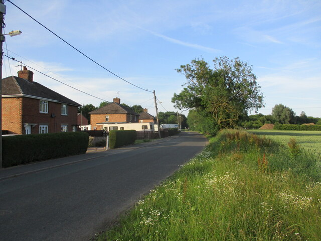
Holbeach is a small market town located in the county of Lincolnshire, England. It is situated approximately 14 miles east of Spalding and 17 miles south of Boston. With a population of around 6,000, it serves as a vital hub for the surrounding agricultural communities.
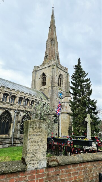
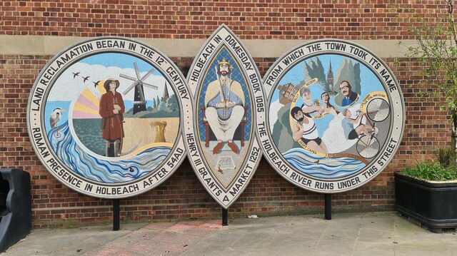
The town has a rich history, dating back to the Roman period, and evidence of its ancient past can still be found in the form of archaeological sites and Roman coins that have been discovered in the area. Holbeach Abbey, a former Cistercian monastery, was founded here in the 13th century and remains a prominent landmark.
Holbeach is known for its vibrant agricultural industry, with farming playing a significant role in the local economy. The town hosts an annual flower parade, which celebrates the region's horticultural heritage and attracts visitors from far and wide.
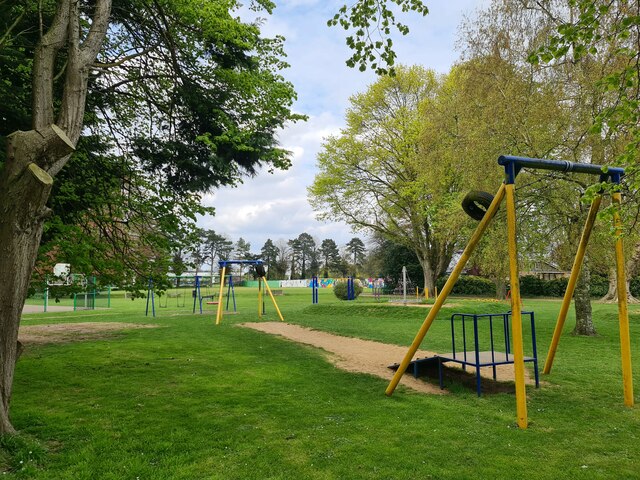
In addition to its agricultural roots, Holbeach offers a range of amenities and services to its residents and visitors. The town center features a variety of shops, restaurants, and cafes, catering to both everyday needs and leisure activities. Holbeach also has several schools, a library, and a community center, providing essential services and fostering a sense of community.
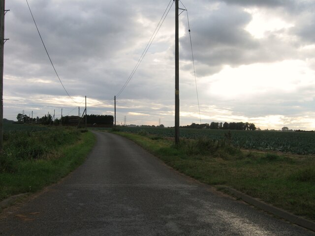
The town's location in the heart of the Lincolnshire Fens makes it an excellent base for exploring the surrounding countryside. Nature enthusiasts can enjoy walks along the nearby River Welland or visit the nearby Holbeach Marsh, a designated nature reserve that is home to a diverse range of plant and animal species.
Overall, Holbeach is a charming market town with a strong agricultural heritage, offering a mix of history, community spirit, and natural beauty.
If you have any feedback on the listing, please let us know in the comments section below.
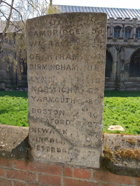
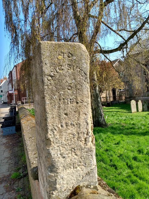
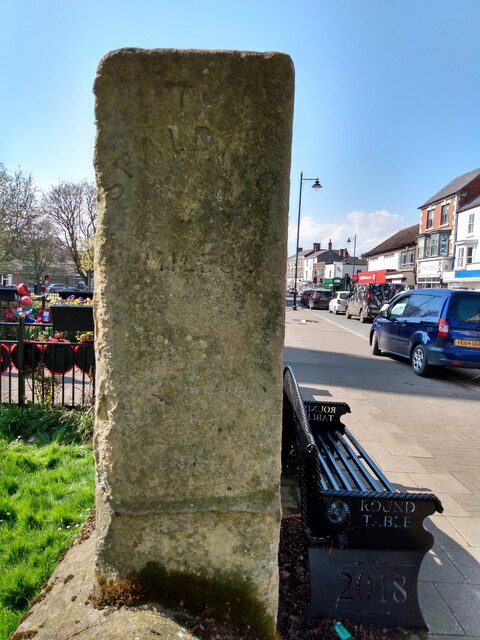
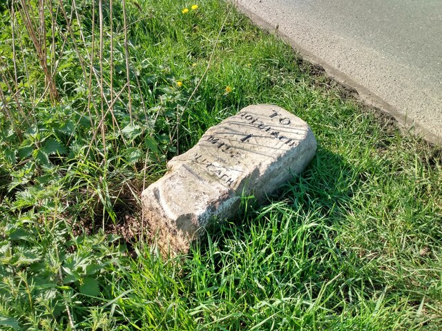
Holbeach Images
Images are sourced within 2km of 52.804056/0.013868 or Grid Reference TF3524. Thanks to Geograph Open Source API. All images are credited.


Holbeach is located at Grid Ref: TF3524 (Lat: 52.804056, Lng: 0.013868)
Division: Parts of Holland
Administrative County: Lincolnshire
District: South Holland
Police Authority: Lincolnshire
What 3 Words
///sprays.chuck.burns. Near Holbeach, Lincolnshire
Nearby Locations
Related Wikis

Holbeach
Holbeach is a market town and civil parish in the South Holland District in Lincolnshire, England. The town lies 8 miles (13 km) from Spalding; 17 miles...

Holbeach United F.C.
Holbeach United Football Club is a football club based in Holbeach, Lincolnshire, England. They are currently members of the Eastern Counties League Division...

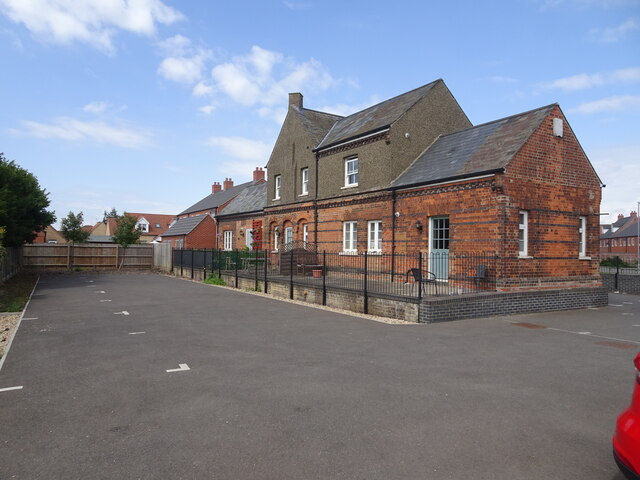
Holbeach railway station
Holbeach railway station was a station in Holbeach, Lincolnshire. It opened on 15 November 1858 and closed on 2 March 1959. The station buildings survived...
East Elloe Rural District
East Elloe was a rural district in Holland in Lincolnshire from 1894 to 1974. == History == The district had its origins in the Holbeach Poor Law Union...
Nearby Amenities
Located within 500m of 52.804056,0.013868Have you been to Holbeach?
Leave your review of Holbeach below (or comments, questions and feedback).