Hogstock
Settlement in Dorset
England
Hogstock

Hogstock is a charming village located in the county of Dorset, England. Situated amidst the rolling hills and picturesque countryside, it is a haven for nature lovers and those seeking a peaceful retreat. With a population of approximately 500 residents, Hogstock exudes a close-knit community atmosphere.
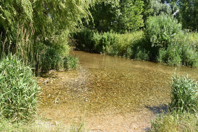
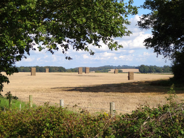
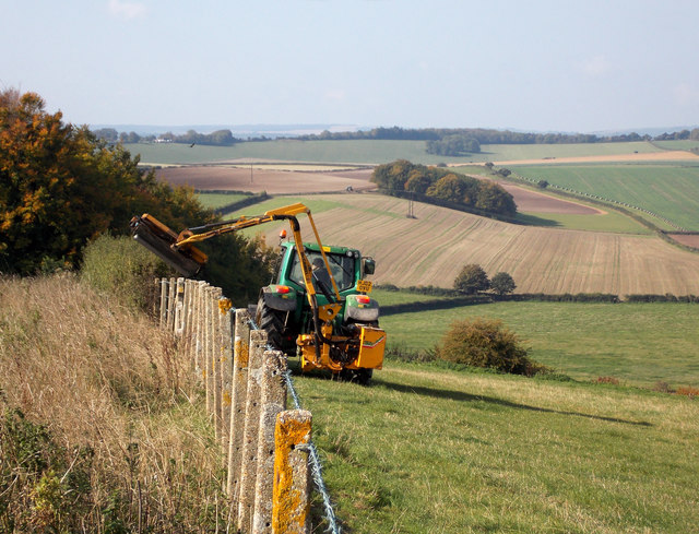
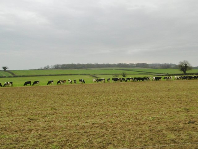
The village is renowned for its traditional thatched cottages, which add to its quintessential English charm. The surrounding landscape offers breathtaking views, with lush green fields, dense woodlands, and meandering streams. It is not uncommon to spot a variety of wildlife, including deer, rabbits, and a multitude of bird species.
Despite its small size, Hogstock boasts a range of amenities for residents and visitors. The local pub, The Hog's Head, is a popular gathering spot, serving up delicious traditional pub fare and a selection of locally brewed ales. The village also has a well-stocked village shop, providing essentials and locally sourced produce.
Hogstock is steeped in history, with its origins dating back to the medieval era. The village church, St. Mary's, is a prominent landmark and a testament to its rich heritage. It hosts regular services and is open to visitors who wish to explore its historical and architectural significance.
For outdoor enthusiasts, Hogstock offers numerous walking and cycling trails, allowing visitors to immerse themselves in the stunning landscape. The nearby Hogstock Woods is a designated nature reserve, home to a diverse range of flora and fauna.
In conclusion, Hogstock is a tranquil and idyllic village, perfect for those seeking a peaceful escape in the heart of Dorset's natural beauty.
If you have any feedback on the listing, please let us know in the comments section below.
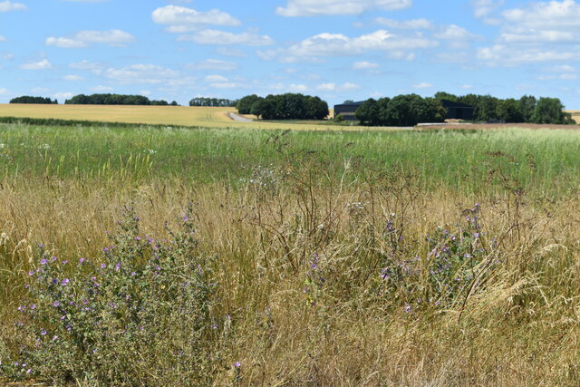
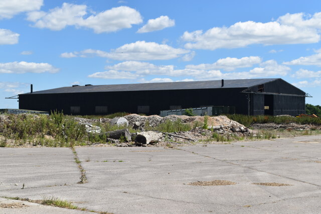
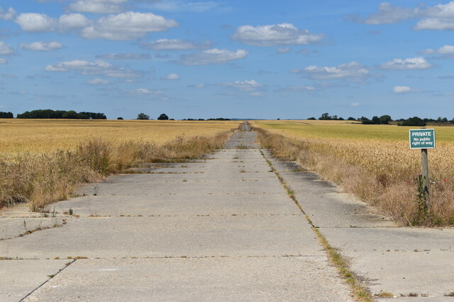
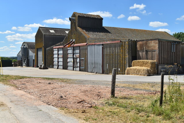
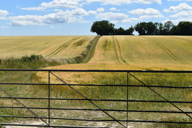
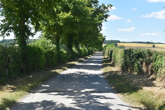
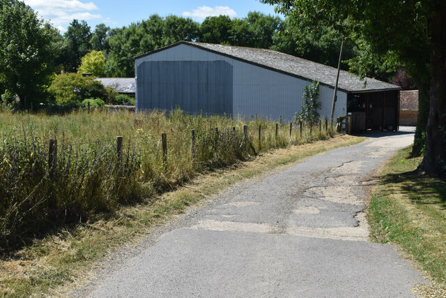
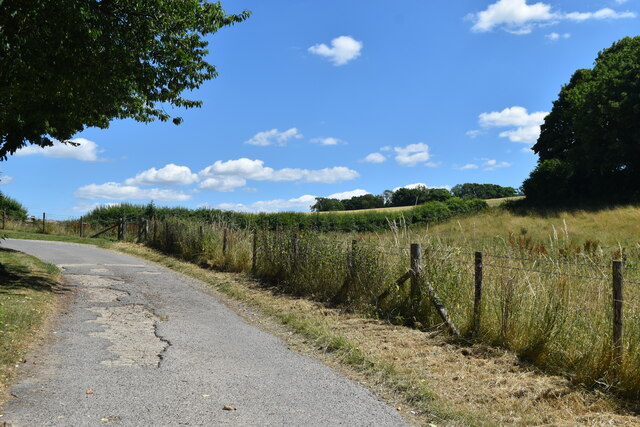
Hogstock Images
Images are sourced within 2km of 50.853493/-2.0723994 or Grid Reference ST9506. Thanks to Geograph Open Source API. All images are credited.
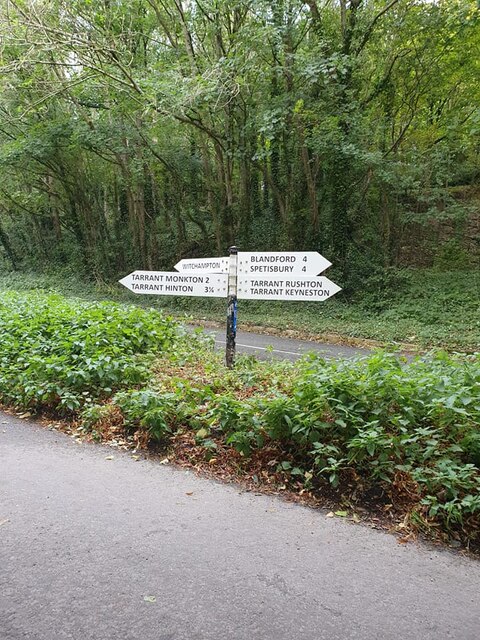
Hogstock is located at Grid Ref: ST9506 (Lat: 50.853493, Lng: -2.0723994)
Unitary Authority: Dorset
Police Authority: Dorset
What 3 Words
///carting.jubilant.machinery. Near Charlton Marshall, Dorset
Nearby Locations
Related Wikis

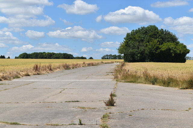
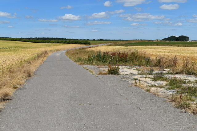
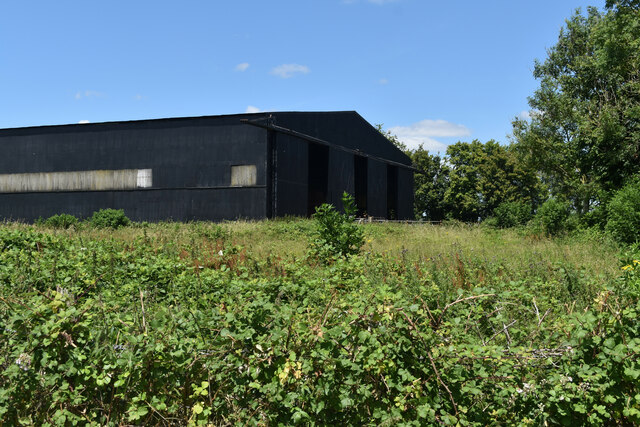
RAF Tarrant Rushton
Royal Air Force Tarrant Rushton or more simply RAF Tarrant Rushton is a former Royal Air Force station near the village of Tarrant Rushton east of Blandford...

Tarrant Rushton
Tarrant Rushton is a village and civil parish in north Dorset, England. The village is situated in the Tarrant Valley about three miles (five kilometres...

Tarrant Rawston
Tarrant Rawston is a hamlet and civil parish in the county of Dorset in southern England. It is named after the River Tarrant which flows through the parish...

Tarrant Keyneston
Tarrant Keyneston is a village and civil parish in Dorset, England. It is situated in the Tarrant Valley, five miles (eight kilometres) southeast of Blandford...
Nearby Amenities
Located within 500m of 50.853493,-2.0723994Have you been to Hogstock?
Leave your review of Hogstock below (or comments, questions and feedback).