Sing Close Coppice
Wood, Forest in Dorset
England
Sing Close Coppice
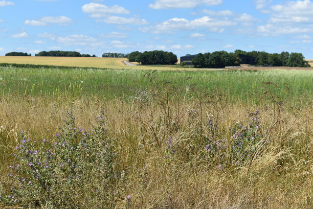
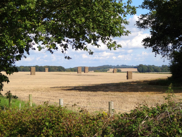
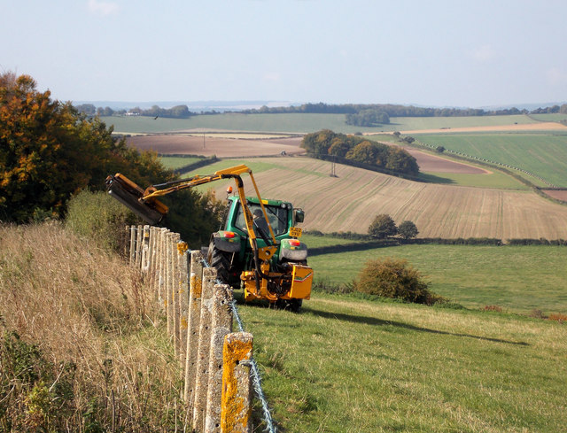
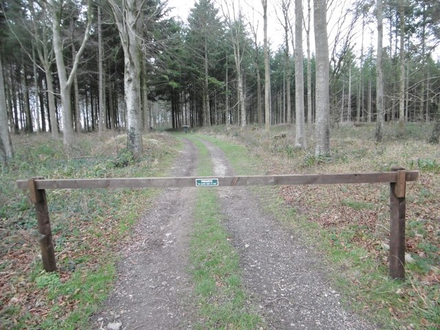
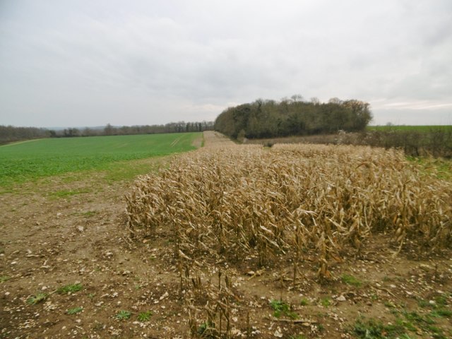
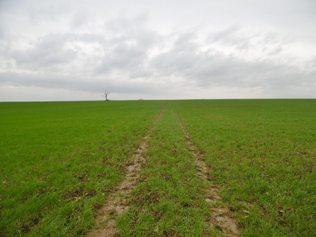
Sing Close Coppice is a beautiful woodland area located in Dorset, England. It covers an extensive area of approximately 100 acres and is known for its diverse range of flora and fauna. The coppice is characterized by its dense canopy of trees, creating a peaceful and serene atmosphere.
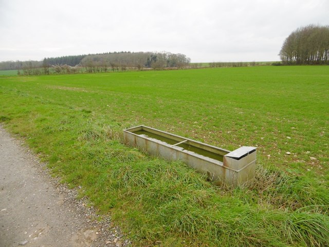
The wood is primarily composed of native tree species such as oak, ash, and beech, which provide a rich habitat for a variety of wildlife. The forest floor is covered with a lush carpet of bluebells, wild garlic, and other wildflowers, creating a stunning display during the springtime.
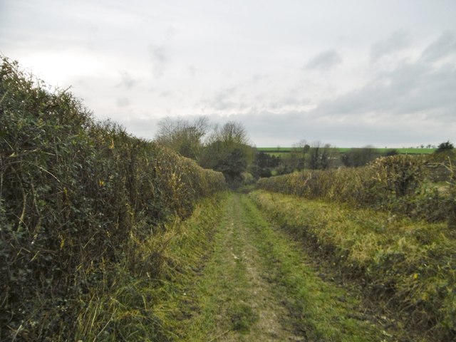
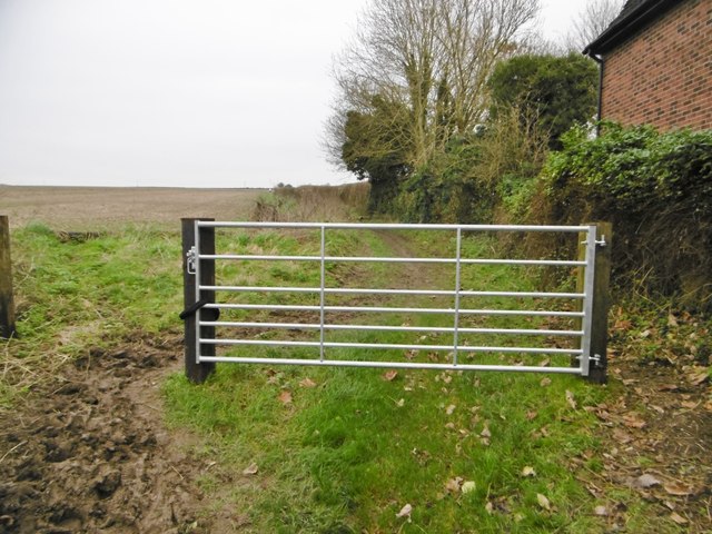
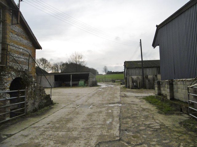
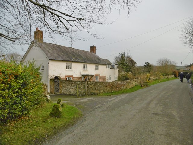
Sing Close Coppice is a popular destination for nature enthusiasts and walkers alike. The wood offers a network of well-maintained footpaths and trails, allowing visitors to explore its natural beauty. There are also designated picnic areas and benches where visitors can relax and enjoy the surroundings.
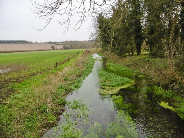
The wood is home to a diverse range of wildlife, including deer, badgers, foxes, and a variety of bird species. Birdwatchers can spot woodpeckers, owls, and many other feathered residents. Sing Close Coppice also has a small pond, attracting frogs, newts, and dragonflies.
The wood is managed by a local conservation group, who carefully maintain the area to preserve its natural ecosystem. They conduct regular surveys and conservation efforts to protect the wildlife and ensure the continued health of the woodland.
Overall, Sing Close Coppice is a haven for nature lovers, offering a peaceful retreat from the hustle and bustle of everyday life. Its stunning natural beauty and diverse wildlife make it a must-visit destination for anyone seeking a connection with nature.
If you have any feedback on the listing, please let us know in the comments section below.
Sing Close Coppice Images
Images are sourced within 2km of 50.862419/-2.0637033 or Grid Reference ST9506. Thanks to Geograph Open Source API. All images are credited.
Sing Close Coppice is located at Grid Ref: ST9506 (Lat: 50.862419, Lng: -2.0637033)
Unitary Authority: Dorset
Police Authority: Dorset
What 3 Words
///bitter.rapid.treaties. Near Pimperne, Dorset
Nearby Locations
Related Wikis

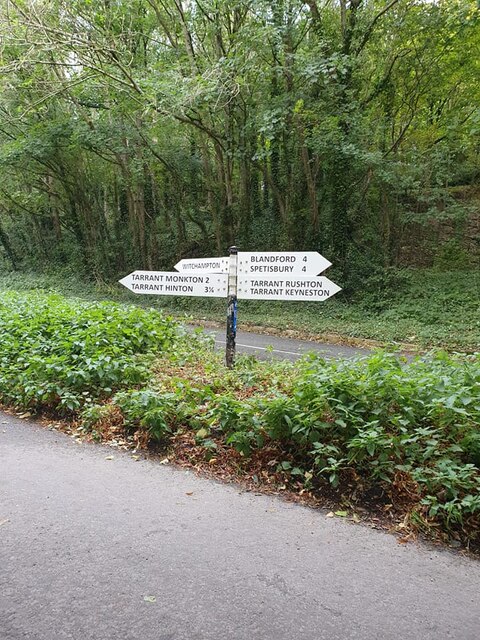
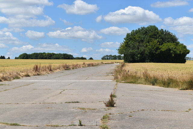
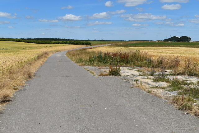
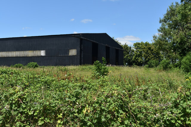
RAF Tarrant Rushton
Royal Air Force Tarrant Rushton or more simply RAF Tarrant Rushton is a former Royal Air Force station near the village of Tarrant Rushton east of Blandford...

Tarrant Rawston
Tarrant Rawston is a hamlet and civil parish in the county of Dorset in southern England. It is named after the River Tarrant which flows through the parish...

Bryanston SSSI, Dorset
Bryanston SSSI (grid reference ST974070) is a 0.3 hectare biological Site of Special Scientific Interest in Dorset, England notified in 1977. It is used...

Tarrant Rushton
Tarrant Rushton is a village and civil parish in north Dorset, England. The village is situated in the Tarrant Valley about three miles (five kilometres...

Tarrant Monkton
Tarrant Monkton is a village and civil parish in north Dorset, England, situated in the Tarrant Valley about four miles (six kilometres) east-northeast...

Tarrant Launceston
Tarrant Launceston is a small village and civil parish in north Dorset, England, situated in the Tarrant Valley 5 miles (8 kilometres) northeast of Blandford...

Witchampton
Witchampton is a village and civil parish in East Dorset, England, situated on the River Allen 5 miles (8 km) north of Wimborne Minster. The 2011 census...

Tarrant Keyneston
Tarrant Keyneston is a village and civil parish in Dorset, England. It is situated in the Tarrant Valley, five miles (eight kilometres) southeast of Blandford...
Have you been to Sing Close Coppice?
Leave your review of Sing Close Coppice below (or comments, questions and feedback).