Sheep Park Coppice
Wood, Forest in Dorset
England
Sheep Park Coppice

Sheep Park Coppice is a charming woodland located in the county of Dorset, England. Nestled in the heart of the countryside, this coppice is a haven for nature enthusiasts and those seeking tranquility amidst the hustle and bustle of daily life.
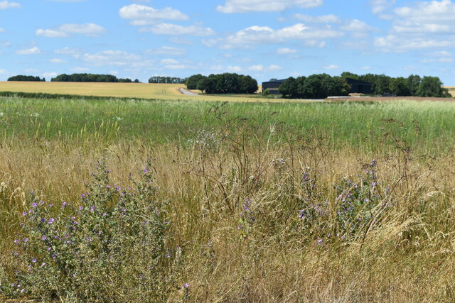
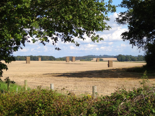
Covering an area of approximately 50 acres, Sheep Park Coppice is predominantly composed of deciduous trees, such as oak, beech, and birch. The woodland is known for its dense foliage, which creates a lush and vibrant atmosphere throughout the year. In spring, the coppice bursts into life with a vibrant display of bluebells carpeting the forest floor, creating a magical and enchanting scene.
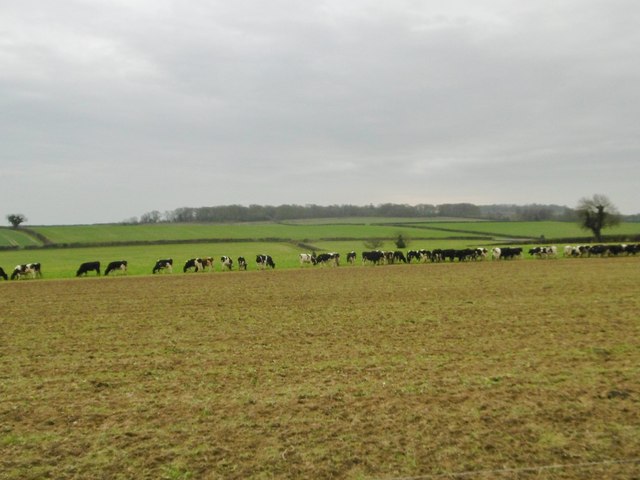
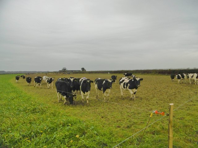
The coppice is home to a variety of wildlife, making it a popular spot for birdwatchers and animal lovers. Visitors may catch a glimpse of native species such as deer, badgers, foxes, and a wide array of bird species, including woodpeckers and owls. The tranquil environment also attracts a diverse range of butterflies and insects.
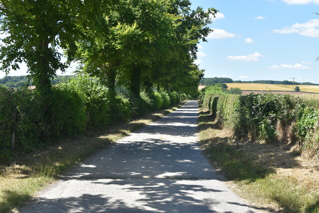
With a network of well-maintained footpaths, Sheep Park Coppice offers visitors the opportunity to explore its natural beauty at their leisure. The paths wind through the woodland, leading visitors to hidden glades, babbling brooks, and charming picnic spots, perfect for enjoying a peaceful lunch surrounded by nature.
Sheep Park Coppice is a true gem in Dorset's natural landscape. Whether you are a nature lover, a photographer, or simply seeking a peaceful retreat, this woodland is a must-visit destination that will leave you feeling refreshed and connected to the beauty of the natural world.
If you have any feedback on the listing, please let us know in the comments section below.
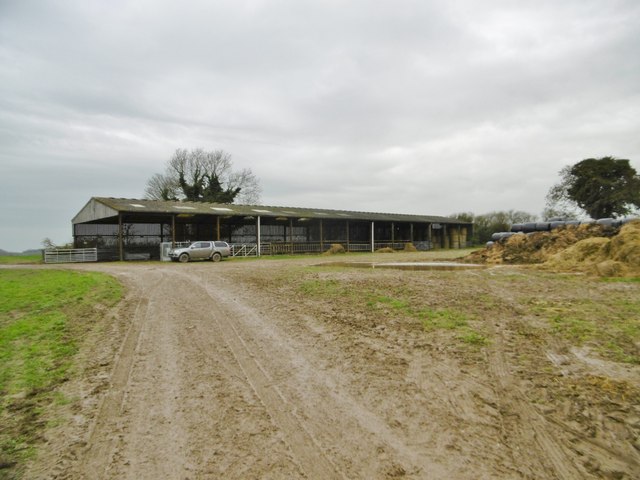
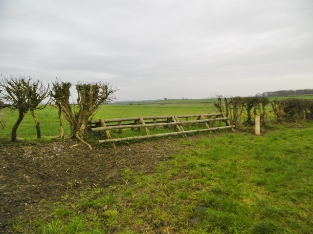
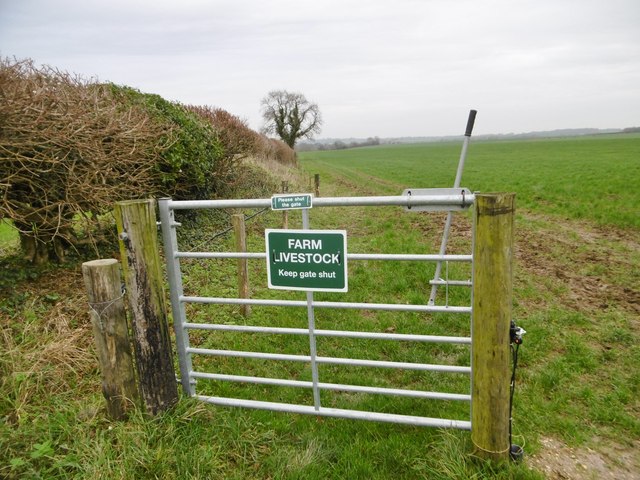
Sheep Park Coppice Images
Images are sourced within 2km of 50.857445/-2.065103 or Grid Reference ST9506. Thanks to Geograph Open Source API. All images are credited.

Sheep Park Coppice is located at Grid Ref: ST9506 (Lat: 50.857445, Lng: -2.065103)
Unitary Authority: Dorset
Police Authority: Dorset
What 3 Words
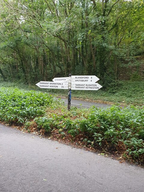
///frogs.hogs.narrates. Near Pimperne, Dorset
Nearby Locations
Related Wikis

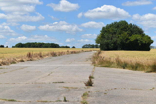
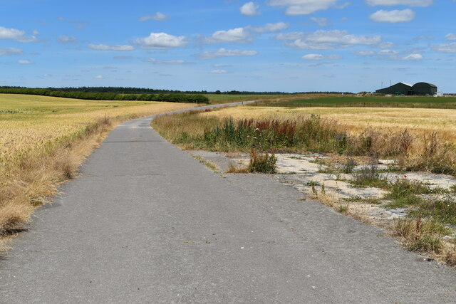
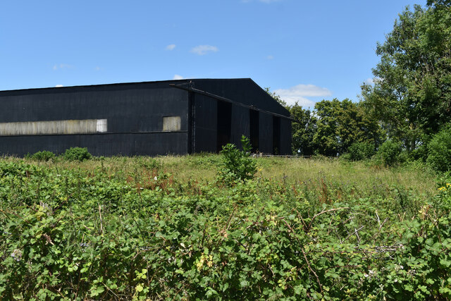
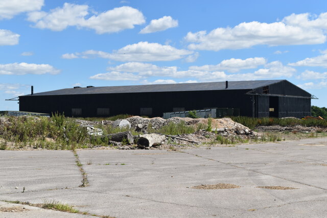
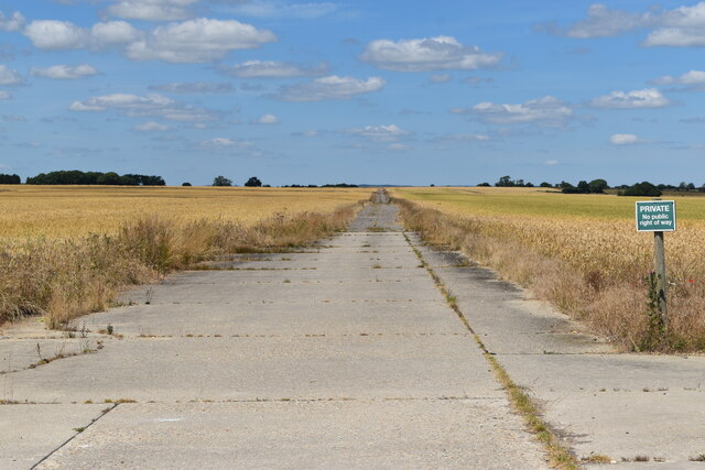
RAF Tarrant Rushton
Royal Air Force Tarrant Rushton or more simply RAF Tarrant Rushton is a former Royal Air Force station near the village of Tarrant Rushton east of Blandford...

Tarrant Rawston
Tarrant Rawston is a hamlet and civil parish in the county of Dorset in southern England. It is named after the River Tarrant which flows through the parish...

Tarrant Rushton
Tarrant Rushton is a village and civil parish in north Dorset, England. The village is situated in the Tarrant Valley about three miles (five kilometres...

Bryanston SSSI, Dorset
Bryanston SSSI (grid reference ST974070) is a 0.3 hectare biological Site of Special Scientific Interest in Dorset, England notified in 1977. It is used...
Have you been to Sheep Park Coppice?
Leave your review of Sheep Park Coppice below (or comments, questions and feedback).