Common, Little

Settlement in Lincolnshire South Holland

England

Common, Little

Stockwell Gate
Stockwell Gate Credit: Alex McGregor

Common, Little is a small village located in the county of Lincolnshire, England. Situated approximately 10 miles north of the city of Lincoln, it is part of the West Lindsey district. The village has a population of around 300 residents.

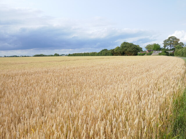
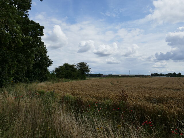
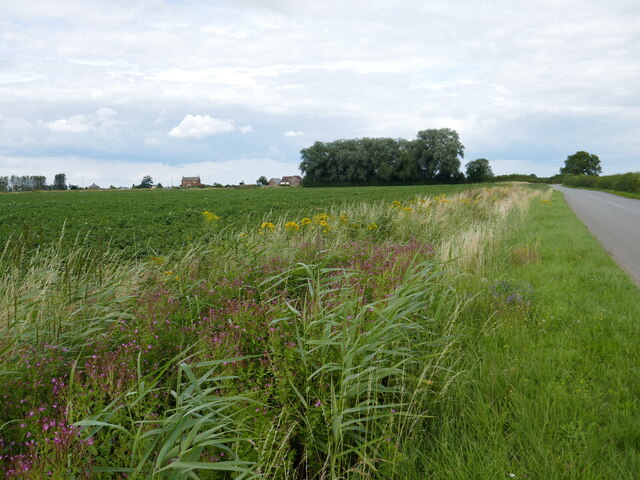
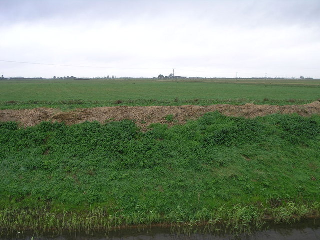
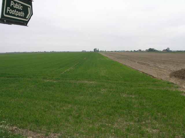
Common, Little is characterized by its picturesque rural setting, surrounded by rolling fields and farmland. The village is known for its tranquil and idyllic atmosphere, making it an attractive place for those seeking a peaceful countryside lifestyle.

The village features a number of traditional stone cottages and houses, which add to its charm and character. The architecture reflects the area's rich history and heritage, with some buildings dating back several centuries.

Common, Little is served by a small primary school, providing education for the local children. Additionally, there is a village hall that serves as a community center for various activities and events.

Although Common, Little is a small village, it benefits from its close proximity to the city of Lincoln. This allows residents easy access to a range of amenities such as shopping centers, supermarkets, healthcare facilities, and educational institutions.

The surrounding countryside offers ample opportunities for outdoor activities, including walking, cycling, and horse riding. The village is also within reach of several nature reserves and parks, providing opportunities for wildlife enthusiasts and nature lovers.

Overall, Common, Little offers a tranquil and close-knit community within a beautiful countryside setting, making it an appealing place to live for those seeking a slower pace of life.

If you have any feedback on the listing, please let us know in the comments section below.

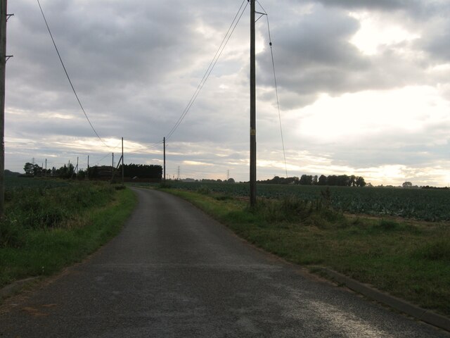
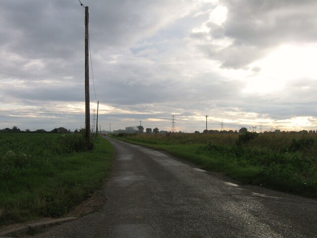
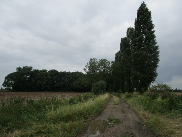
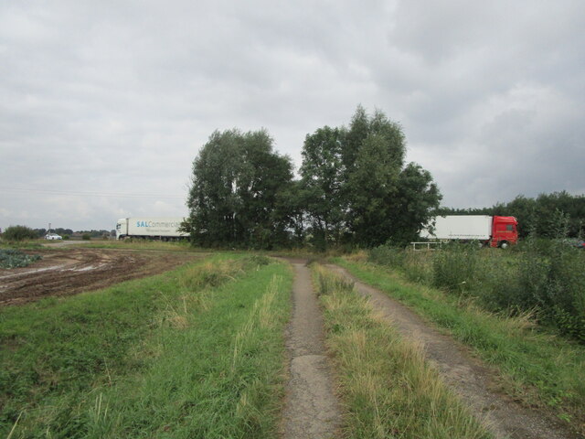
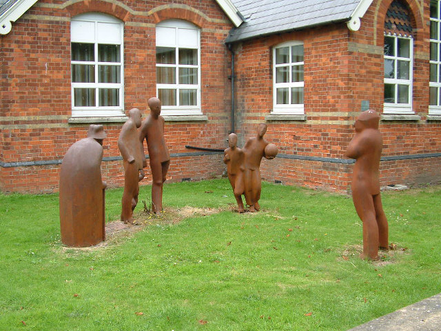
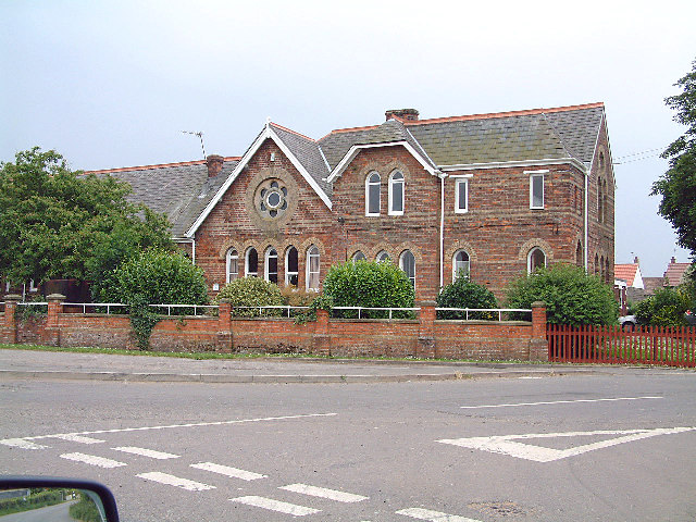
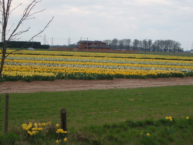
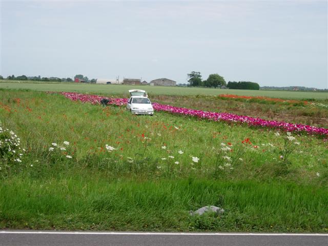
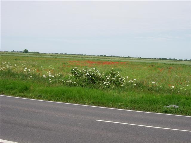
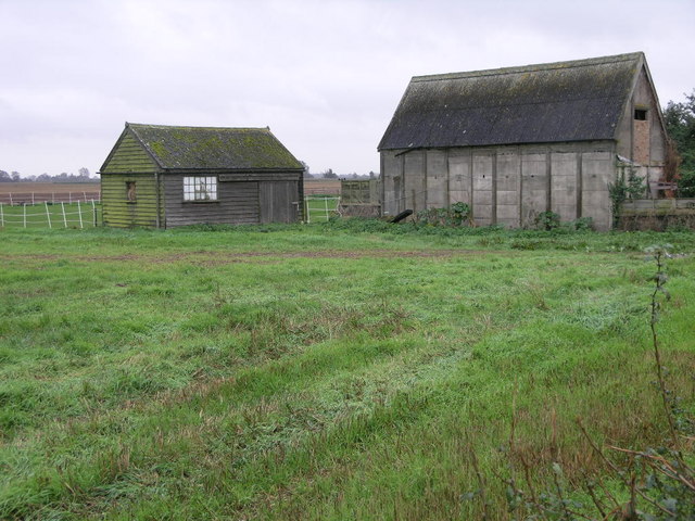
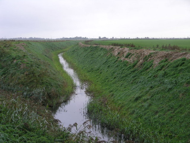
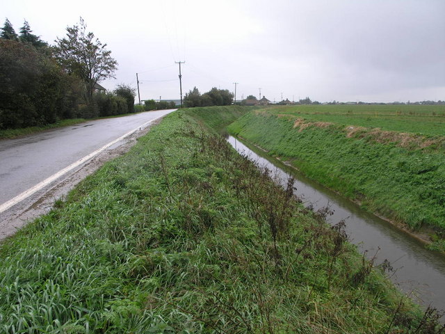
Common, Little Images

Images are sourced within 2km of 52.8282/0.0009 or Grid Reference TF3427. Thanks to Geograph Open Source API. All images are credited.

Stockwell Gate
Stockwell Gate
Stockwell Gate
Stockwell Gate
Hungerdike Gate A farm track and footpath.
Hungerdike Gate
A farm track and footpath.
Hungerdike Gate Approaching the A17.
Hungerdike Gate
Approaching the A17.
Wheat field off Saltney Gate
Wheat field off Peartree House Road
Drain alongside Peartree House Road
Welcome to Saracens Head Village marker on the outskirts of Saracens Head
Welcome to Saracens Head
Village marker on the outskirts of Saracens Head
Saracen's Head Sculptures outside the Saracen's Head Community Centre
Saracen's Head
Sculptures outside the Saracen's Head Community Centre
Holbeach Bank The infants and junior school at Holbeach Bank
Holbeach Bank
The infants and junior school at Holbeach Bank
Farming in spring! Beside the A17 near Holbeach.
Farming in spring!
Beside the A17 near Holbeach.
Man cutting flowers for sale, near the A17 Patches of flowers like this one, apparently grown for sale, border the A17 on this stretch.
Man cutting flowers for sale, near the A17
Patches of flowers like this one, apparently grown for sale, border the A17 on this stretch.
Flat fens landscape near the A19
Sheds in a Field The one on the left is a smaller shed, the one on the right is slightly larger.
Sheds in a Field
The one on the left is a smaller shed, the one on the right is slightly larger.
Whaplode River It may look like another drain but this is Whaplode River.
Whaplode River
It may look like another drain but this is Whaplode River.
A Bend in the Road Bends in the road may be common in most areas, but in fenland they are something to be celebrated.  This is usually done by bending the drain that inevitably runs alongside.
A Bend in the Road
Bends in the road may be common in most areas, but in fenland they are something to be celebrated. This is usually done by bending the drain that inevitably runs alongside.
Grey Sky Green Bank The green bank is at the side of Holbeach River the grey sky is caused by rain clouds.
Grey Sky Green Bank
The green bank is at the side of Holbeach River the grey sky is caused by rain clouds.
Flat Fenland Footpath This footpath leads from a road between Saracen's Head and Moulton Seas End, to the nearby A17.
Flat Fenland Footpath
This footpath leads from a road between Saracen's Head and Moulton Seas End, to the nearby A17.
Show me another place!

Common, Little is located at Grid Ref: TF3427 (Lat: 52.8282, Lng: 0.0009)

Division: Parts of Holland

Administrative County: Lincolnshire

District: South Holland

Police Authority: Lincolnshire

What 3 Words

///moved.caring.calculate. Near Holbeach, Lincolnshire

Related Wikis

Holbeach Bank

Holbeach Bank is a fenland village in the South Holland district of Lincolnshire, England. It is just under 2 miles (3 km) north from the market town of...

Holbeach Clough

Holbeach Clough (today synonymous with Saracen's Head) is a fenland village in the South Holland district of Lincolnshire, England. It is just under 2...

National Centre for Food Manufacturing

The National Centre for Food Manufacturing (NCFM) is the food science campus of the University of Lincoln, situated on Park Road at Holbeach in the south...

University Academy Holbeach

University Academy Holbeach is a co-educational secondary school and sixth form located in Holbeach, Lincolnshire, England. == History == === Secondary... ===

Parts of Holland

The Parts of Holland is a historical division of Lincolnshire, England, encompassing the south-east of the county. The name is still recognised locally...

Moulton Seas End

Moulton Seas End is a village in the civil parish of The Moultons and the South Holland district of Lincolnshire, England. It is 5 miles (8 km) north...

Holbeach United F.C.

Holbeach United Football Club is a football club based in Holbeach, Lincolnshire, England. They are currently members of the Eastern Counties League Division...

Holbeach

Holbeach is a market town and civil parish in the South Holland District in Lincolnshire, England. The town lies 8 miles (13 km) from Spalding; 17 miles...

Nearby Amenities

Located within 500m of 52.8282,0.0009
Holbeach Clough
Is In: Lincolnshire, England, UK
Place: hamlet
Source: Bing
Lat/Long: 52.824999/-0.0017437
Bus Stop
Old Sluice Road
Naptan AtcoCode: 270000009644
Naptan Bearing: E
Naptan CommonName: Old Sluice Road
Naptan Indicator: adj
Naptan Landmark: Old Sluice Road
Naptan NaptanCode: linjdmpa
Naptan Street: Roman Bank
Naptan Verified: no
Source: naptan_import
Lat/Long: 52.826071/0.0012572
Bus Stop
Old Sluice Road
Naptan AtcoCode: 2700LHCB4246
Naptan Bearing: W
Naptan CommonName: Old Sluice Road
Naptan Indicator: opp
Naptan Landmark: Old Sluice Road
Naptan NaptanCode: lindjmgw
Naptan Street: Roman Bank
Naptan Verified: no
Source: naptan_import
Lat/Long: 52.8258658/0.000622
Post Box
Collection Times: Mo-Fr 09:00; Sa 07:00
Description: Embedded into, and flush with, the hedge on the NE quadrant of this junction./Roman Bank / (Old) Sluice Road / Clough Road / (unnamed):Feb24 Hedge has gone
Operator: Royal Mail
Operator Wikidata: Q638098
Post Box Mounting: pier
Post Box Type: lamp
Ref: PE12 44
Source: photographic interpretation
Lat/Long: 52.826027/0.001216
Little Common
Place: locality
Source: Bing
Lat/Long: 52.8286027/-0.0011663
Clough Bridge
Place: locality
Source: Bing
Lat/Long: 52.8259558/0.0009011
Note: End of Public Highway
Lat/Long: 52.829609/0.0012401
The data included in this document is from www.openstreetmap.org. The data is made available under ODbL.

Have you been to Common, Little?

Leave your review of Common, Little below (or comments, questions and feedback).