Holbeach Drove
Settlement in Lincolnshire South Holland
England
Holbeach Drove
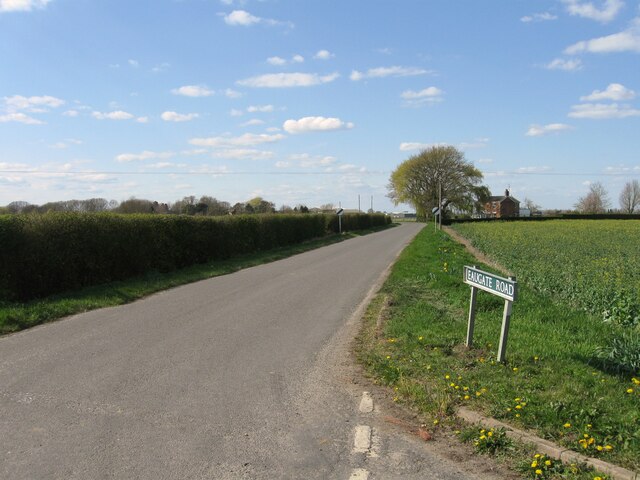
Holbeach Drove is a small village located in the county of Lincolnshire, England. Situated near the town of Holbeach, Holbeach Drove is a rural community characterized by open fields and farmland. The village is surrounded by picturesque countryside, making it an ideal location for those seeking a peaceful and scenic environment.
Holbeach Drove is home to a small population of residents, many of whom are involved in agriculture and farming. The village has a close-knit community feel, with residents often coming together for events and social gatherings.
In terms of amenities, Holbeach Drove has a few small shops and local businesses, as well as a primary school for the village's children. The village is well-connected to nearby towns and cities, with good transport links making it easy to travel to and from Holbeach Drove.
Overall, Holbeach Drove offers a tranquil and idyllic setting for those looking to escape the hustle and bustle of city life and enjoy the beauty of the Lincolnshire countryside.
If you have any feedback on the listing, please let us know in the comments section below.
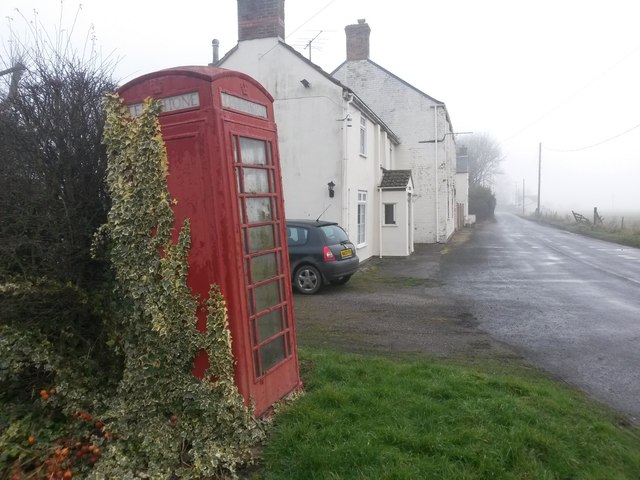
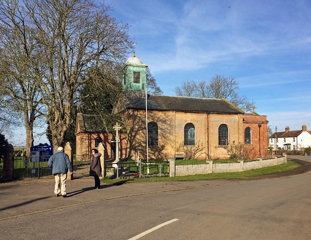
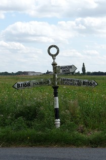
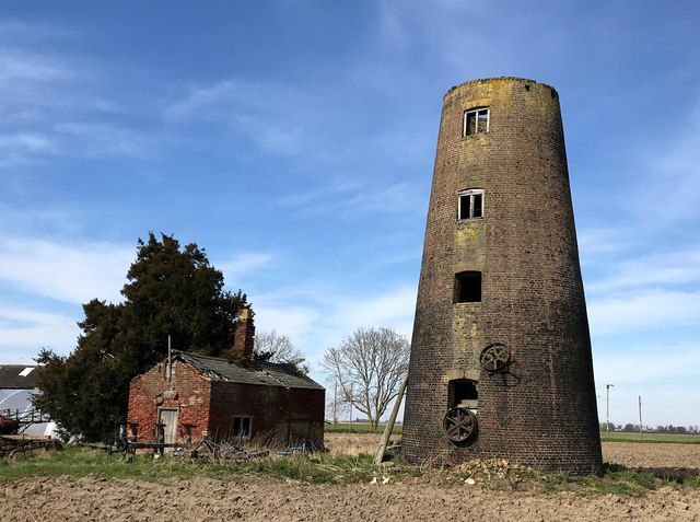
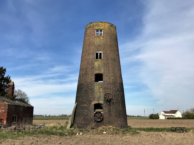
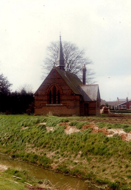
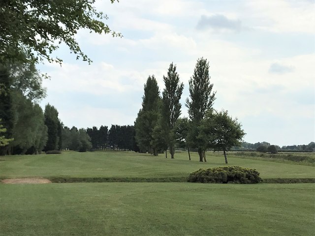
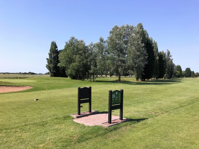
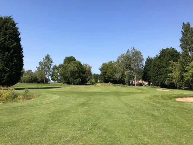
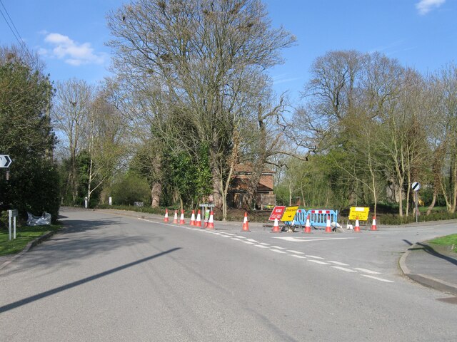
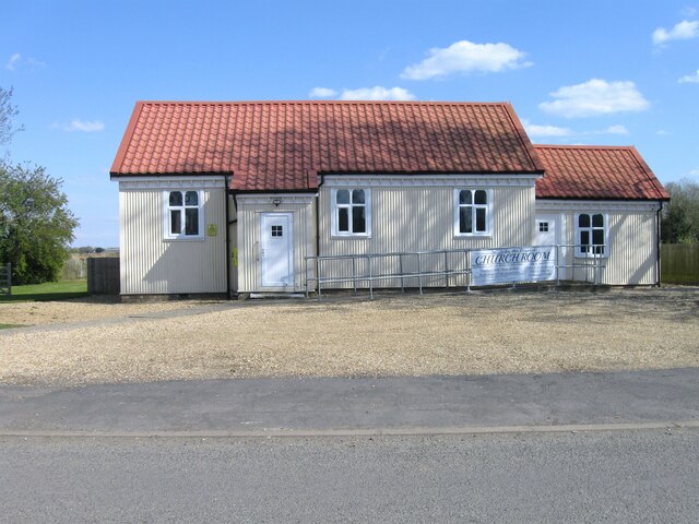
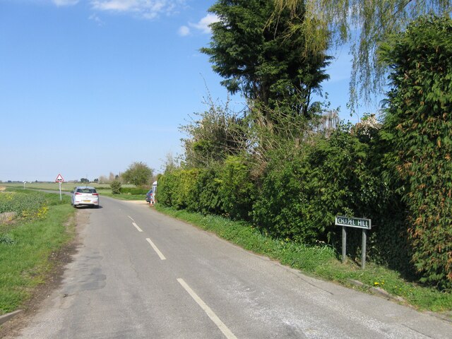
Holbeach Drove Images
Images are sourced within 2km of 52.692627/-0.042378 or Grid Reference TF3212. Thanks to Geograph Open Source API. All images are credited.


Holbeach Drove is located at Grid Ref: TF3212 (Lat: 52.692627, Lng: -0.042378)
Division: Parts of Holland
Administrative County: Lincolnshire
District: South Holland
Police Authority: Lincolnshire
What 3 Words
///clouding.dusted.oppose. Near Gedney Hill, Lincolnshire
Nearby Locations
Related Wikis

Holbeach Drove
Holbeach Drove is a village in the South Holland district of Lincolnshire, England. It is situated approximately 5 miles (8 km) east from Crowland, and...

Whaplode Drove
Whaplode Drove is a village in the civil parish of Whaplode , in the South Holland district of Lincolnshire, England. It is approximately 10 miles (16...

Shepeau Stow, Lincolnshire
Shepeau Stow is a hamlet in the South Holland district of Lincolnshire, England. It is at the north-east edge of Whaplode civil parish, where it adjoins...
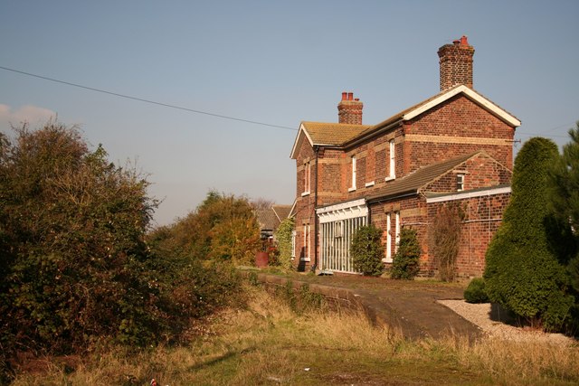
Postland railway station
Postland railway station was a station on the Great Northern and Great Eastern Joint Railway in Crowland, Lincolnshire, which is now closed. It took its...
Nearby Amenities
Located within 500m of 52.692627,-0.042378Google calls Main Road "Drove Road"/Main Road,B1166 / Chapel Drove//
Have you been to Holbeach Drove?
Leave your review of Holbeach Drove below (or comments, questions and feedback).