Ffridd Cocyn
Hill, Mountain in Merionethshire
Wales
Ffridd Cocyn

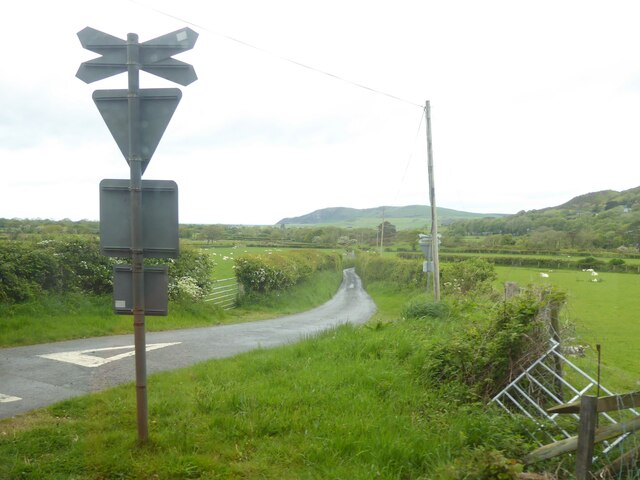
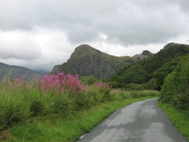
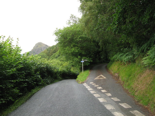
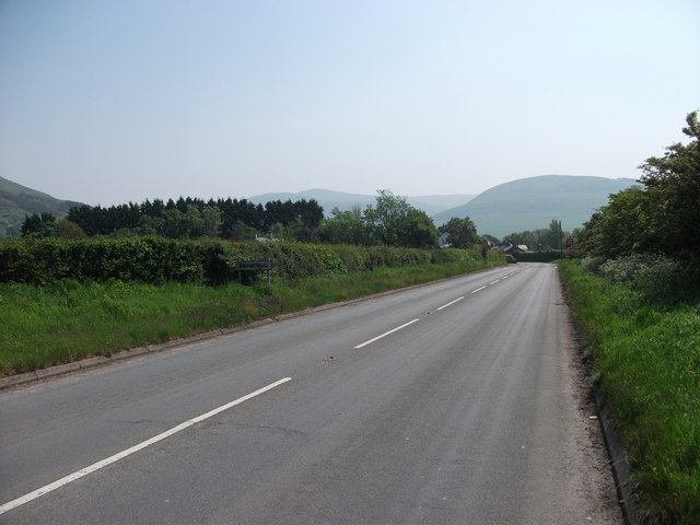
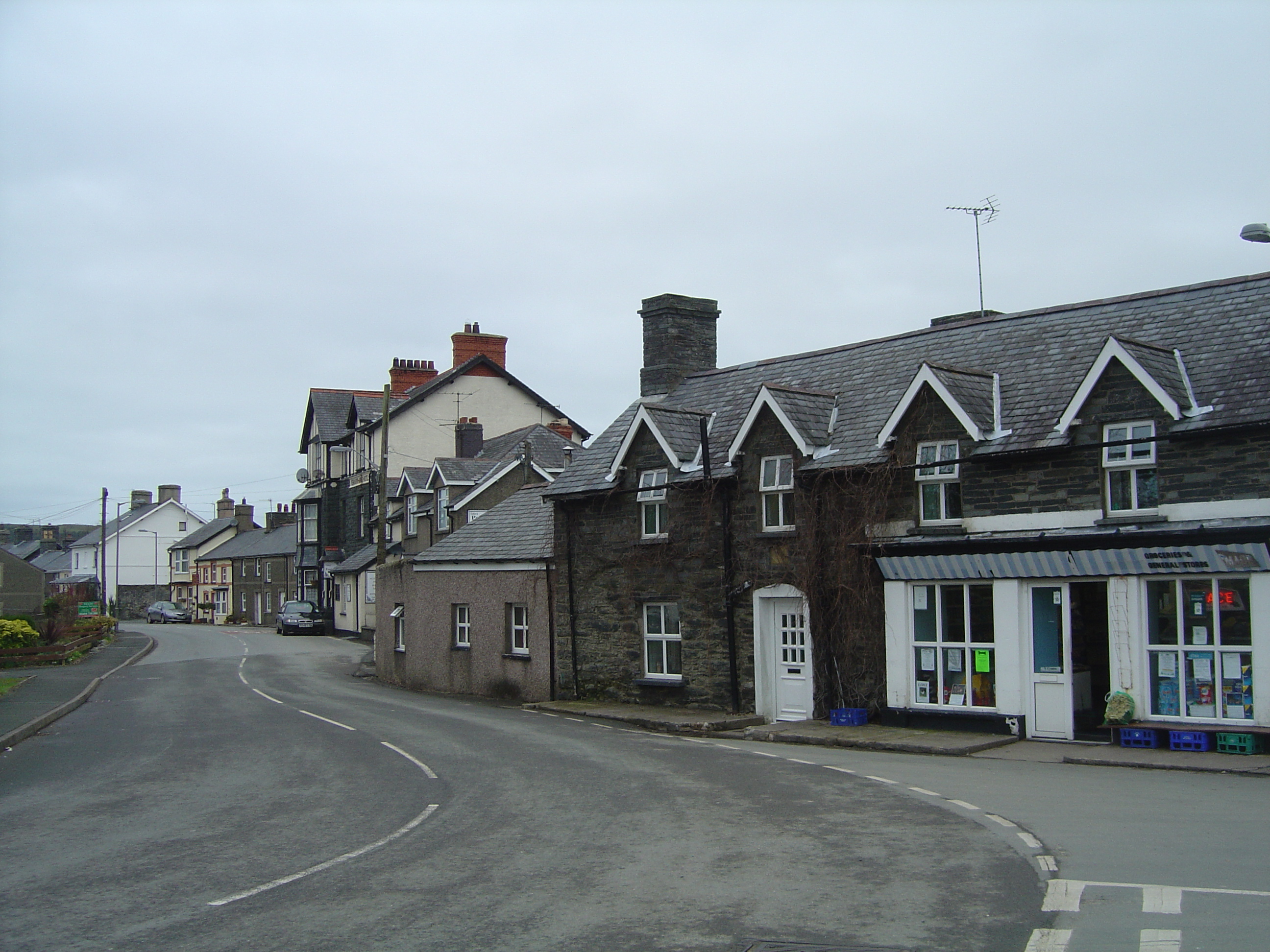
Ffridd Cocyn is a hill located in the county of Merionethshire in Wales. It is situated near the village of Dyffryn Ardudwy, which lies on the western coast of Wales. The hill is part of the larger Snowdonia National Park, known for its stunning natural beauty and diverse landscapes.
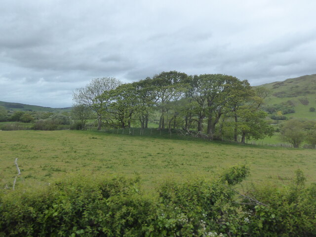
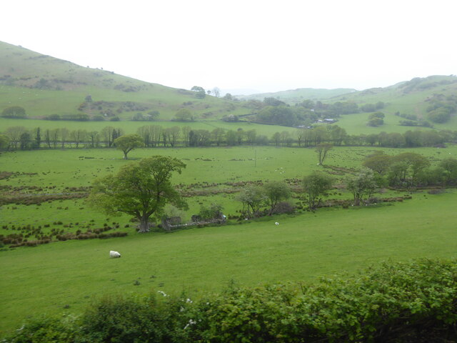
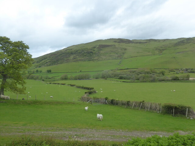
Ffridd Cocyn reaches an elevation of approximately 270 meters (886 feet) above sea level, making it a prominent feature in the area. The hill is characterized by its undulating terrain, consisting of grassy slopes and scattered rocky outcrops. The hill's slopes are home to a variety of plant species, including heather, gorse, and bracken.
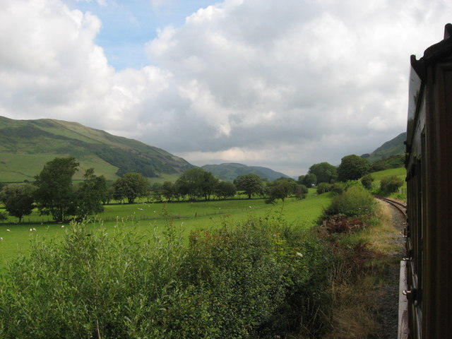
The summit of Ffridd Cocyn offers breathtaking panoramic views of the surrounding countryside and the Irish Sea. On a clear day, visitors can see as far as the Llŷn Peninsula to the west and the Snowdon range to the northeast. The hill is a popular destination for hikers and nature enthusiasts, who are drawn to its scenic vistas and peaceful atmosphere.
The area surrounding Ffridd Cocyn is also rich in history and cultural heritage. Close by, there are archaeological sites, including ancient burial mounds and remnants of old settlements, which provide insights into the region's past.
Overall, Ffridd Cocyn is a picturesque hill in Merionethshire, offering visitors a chance to experience the natural beauty and tranquility of the Welsh countryside.
If you have any feedback on the listing, please let us know in the comments section below.
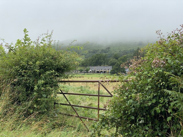
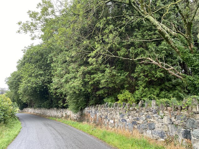
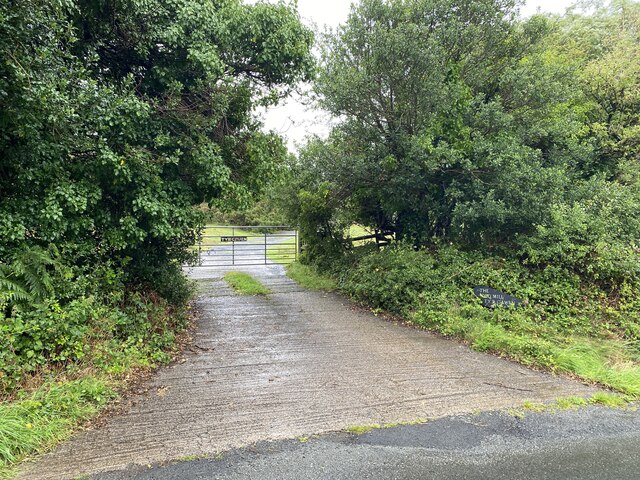
Ffridd Cocyn Images
Images are sourced within 2km of 52.618941/-4.0331927 or Grid Reference SH6204. Thanks to Geograph Open Source API. All images are credited.

Ffridd Cocyn is located at Grid Ref: SH6204 (Lat: 52.618941, Lng: -4.0331927)
Unitary Authority: Gwynedd
Police Authority: North Wales
What 3 Words
///voices.tougher.custodial. Near Tywyn, Gwynedd
Nearby Locations
Related Wikis

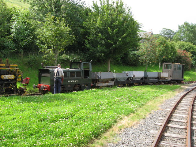
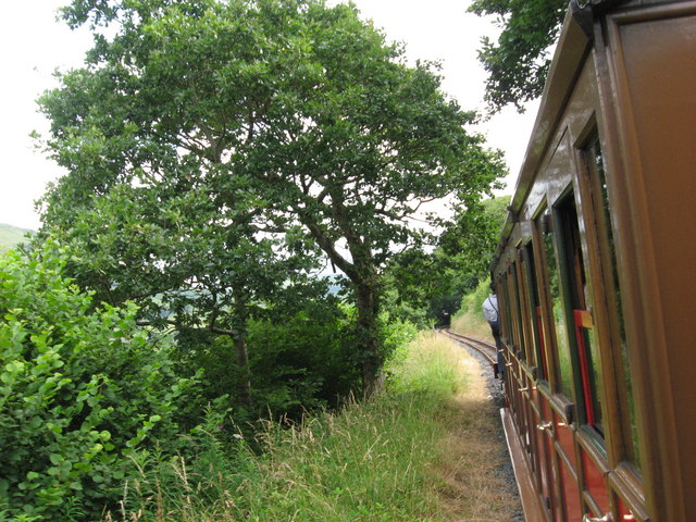
Brynglas railway station
Brynglas railway station (also known as Bryn-glas railway station) is a request stop on the Talyllyn Railway, serving the hamlet of Pandy near Bryn-crug...

Peniarth
Peniarth is a village in the community of Meifod, Powys, Wales. It is 87.1 miles (140.2 km) from Cardiff and 156.9 miles (252.5 km) from London. It is...

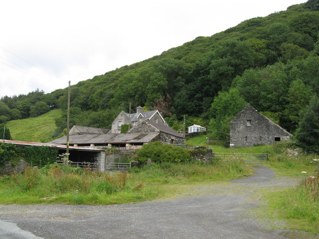
Abertrinant
Abertrinant is a small settlement in Gwynedd, Wales. It is 7 kilometres (4 mi) northeast of the town of Tywyn. == External links == www.geograph.co.uk...
Bryncrug
Bryncrug (), sometimes spelt Bryn-crug, is a village and community in Gwynedd, Wales. Afon Fathew flows through the village and into the River Dysynni...

Rhydyronen railway station
Rhydyronen railway station (also known as Rhyd-yr-onen railway station) is a request stop on the Talyllyn Railway, near Tywyn, Gwynedd in mid-Wales. It...

Llanegryn
Llanegryn is a village and a community in Gwynedd, north-west Wales. It was formerly part of the historic county of Merionethshire (Welsh: Meirionnydd...
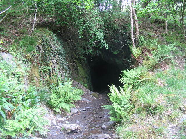
Dolgoch quarry, Gwynedd
Dolgoch slate quarry (also spelt Dol-goch slate quarry or Dol-gôch slate quarry) was a slate quarry in Mid Wales, approximately halfway between Bryn-crug...

Dolgoch railway station
Dolgoch railway station (also known as Dol-goch railway station, Dol-gôch railway station, or Dolgoch Falls railway station) is a station on the Talyllyn...
Nearby Amenities
Located within 500m of 52.618941,-4.0331927Have you been to Ffridd Cocyn?
Leave your review of Ffridd Cocyn below (or comments, questions and feedback).