Cnoc Airigh na Meinne
Hill, Mountain in Sutherland
Scotland
Cnoc Airigh na Meinne

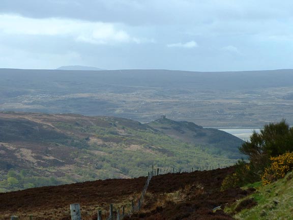
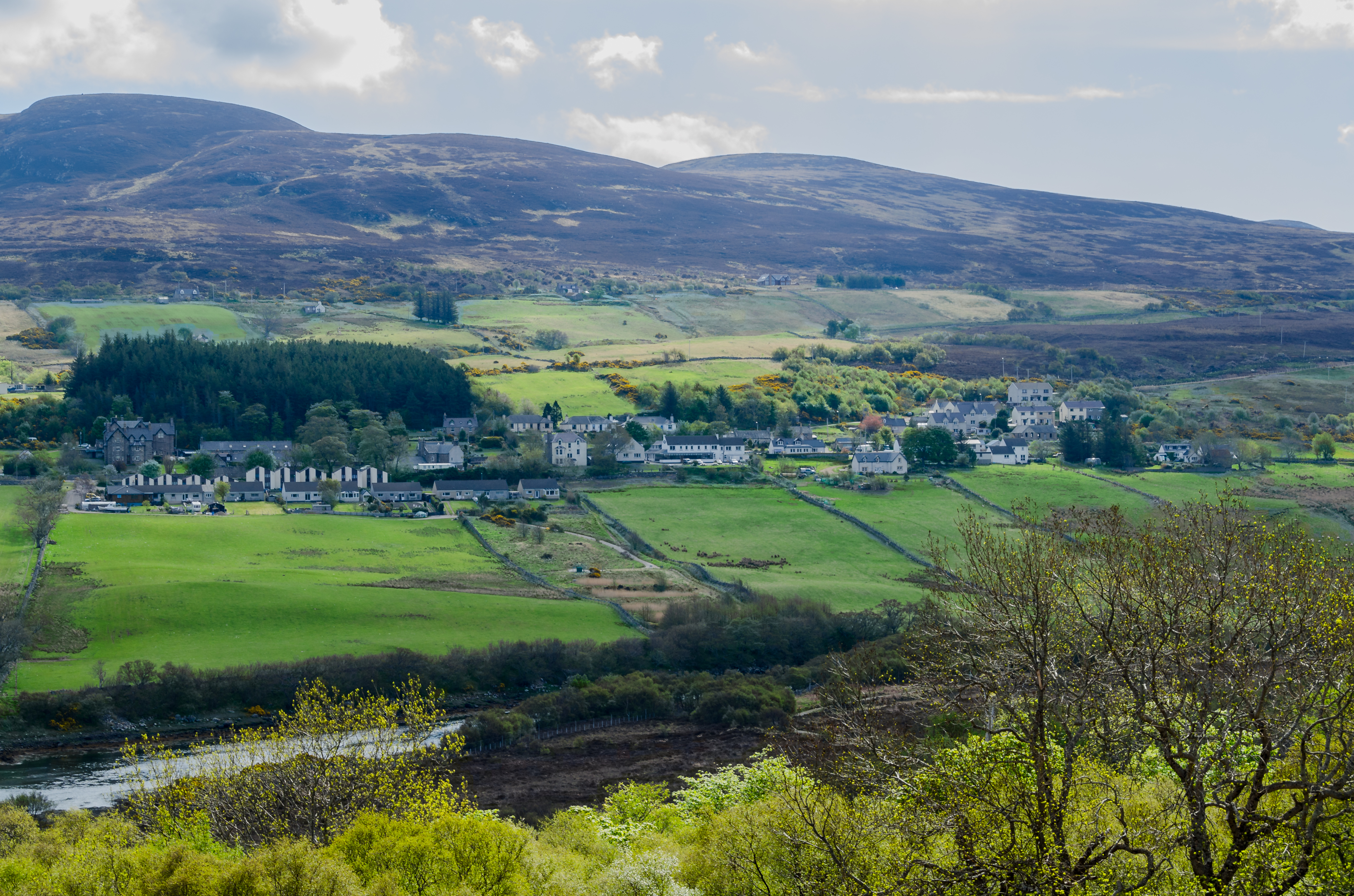
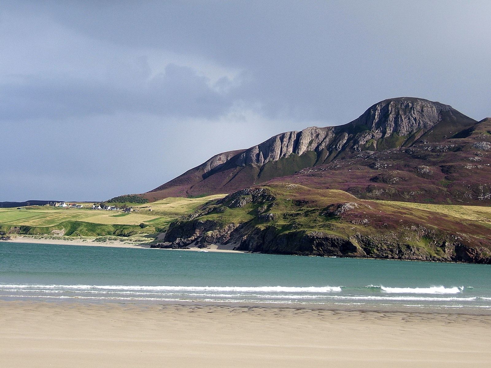
Cnoc Airigh na Meinne is a prominent hill located in Sutherland, a county in the northern part of Scotland. Situated near the village of Lairg, this hill stands at an elevation of approximately 462 meters (1,516 feet) above sea level. It is a popular destination for hikers and outdoor enthusiasts due to its stunning views and accessible trails.
The hill is characterized by its gently sloping terrain, covered in heather and grasses. It boasts a distinctive shape, with a rounded summit that offers panoramic vistas of the surrounding countryside. On a clear day, visitors can enjoy breathtaking views of the nearby Loch Shin and the rolling hills of Sutherland.
The ascent of Cnoc Airigh na Meinne is relatively straightforward, with well-marked paths leading to the summit. The trail is suitable for all levels of fitness, although caution should be exercised in inclement weather conditions as the terrain can become slippery. The hill is also home to a variety of wildlife, including red deer, mountain hares, and numerous bird species, making it a great spot for nature enthusiasts.
In addition to its natural beauty, Cnoc Airigh na Meinne holds historical significance. It is believed that the hill was once used as a lookout point during times of conflict, with its commanding views providing a strategic advantage. Today, it serves as a peaceful retreat for those seeking tranquility and a connection with nature.
If you have any feedback on the listing, please let us know in the comments section below.
Cnoc Airigh na Meinne Images
Images are sourced within 2km of 58.467403/-4.3596525 or Grid Reference NC6255. Thanks to Geograph Open Source API. All images are credited.


Cnoc Airigh na Meinne is located at Grid Ref: NC6255 (Lat: 58.467403, Lng: -4.3596525)
Unitary Authority: Highland
Police Authority: Highlands and Islands
What 3 Words
///carriage.duty.motel. Near Altnaharra, Highland
Nearby Locations
Related Wikis

Braetongue
Braetongue (Scottish Gaelic: Bràigh Thunga) is an area in northern Sutherland just north of the town of Tongue (grid ref. NC595572). Runrig mentions the...
Tongue, Highland
Tongue (Scottish Gaelic: Tunga from Old Norse: Tunga) is a coastal village in northwest Highland, Scotland, in the western part of the former county of...
Cnoc an Fhreiceadain
Cnoc an Fhreiceadain (Hill of Watching or Watch Hill) is a coastal mountain peak in northern Scotland. It is 307 metres (1,007 ft) high with commanding...

Coldbackie
Coldbackie (Scottish Gaelic: Callbacaidh) is a crofting township in Sutherland and is in the Scottish council area of Highland Scotland. == Geography... ==
Have you been to Cnoc Airigh na Meinne?
Leave your review of Cnoc Airigh na Meinne below (or comments, questions and feedback).