Ffridd Cocyn
Downs, Moorland in Merionethshire
Wales
Ffridd Cocyn

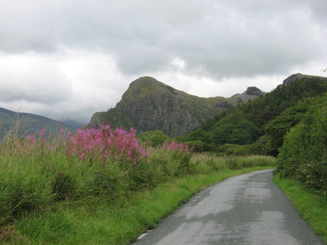
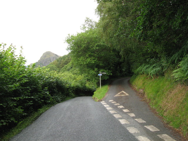
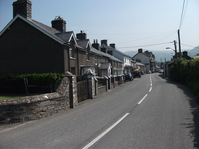
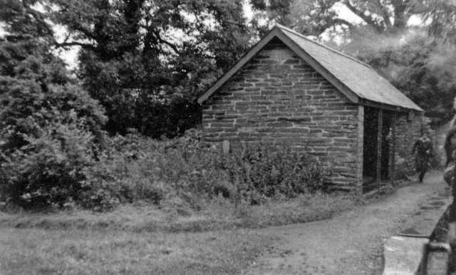
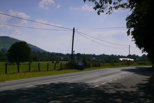
Ffridd Cocyn is an area located in Merionethshire, Wales, known for its scenic beauty and diverse landscape. Situated in the heart of the Snowdonia National Park, it offers visitors a unique experience of the Welsh countryside.
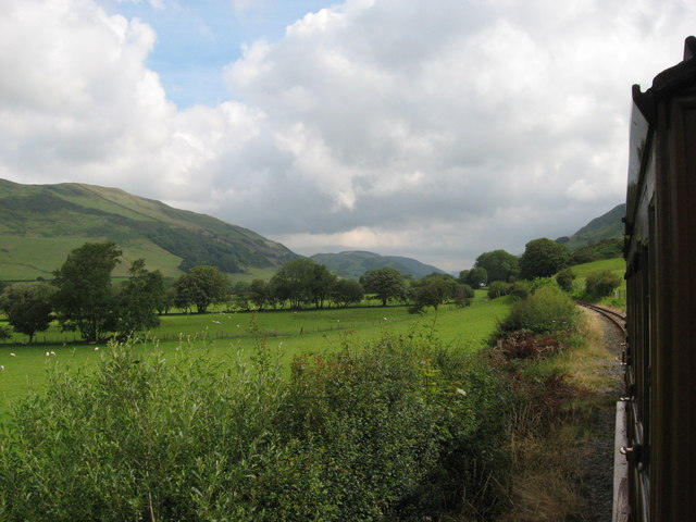
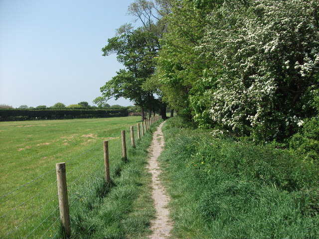
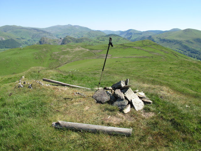
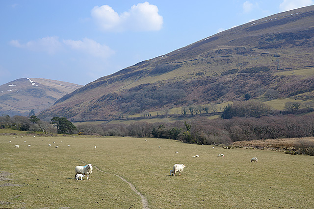
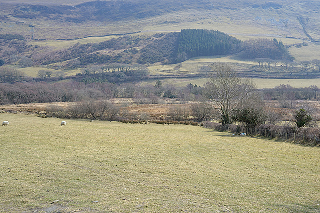
The terrain of Ffridd Cocyn is characterized by rolling hills, open moorland, and picturesque valleys. The area is home to a variety of flora and fauna, including heather, gorse, and a range of bird species. The landscape is often dotted with sheep grazing peacefully, adding to the idyllic charm of the place.
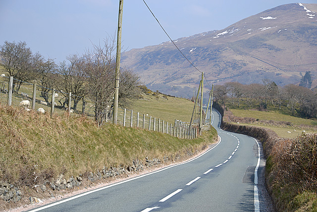
The Ffridd Cocyn region is popular among outdoor enthusiasts and nature lovers, providing ample opportunities for activities such as hiking, birdwatching, and photography. The vast expanse of moorland offers stunning panoramic views, while the network of footpaths and trails allows visitors to explore the area at their own pace.
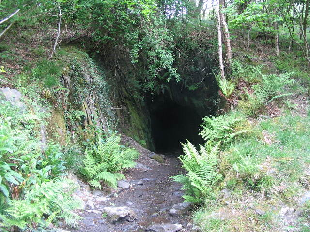
One of the notable features of Ffridd Cocyn is its rich archaeological heritage. The area is home to ancient sites, including burial mounds and standing stones, which offer a glimpse into the region's past.
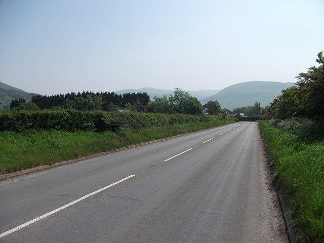
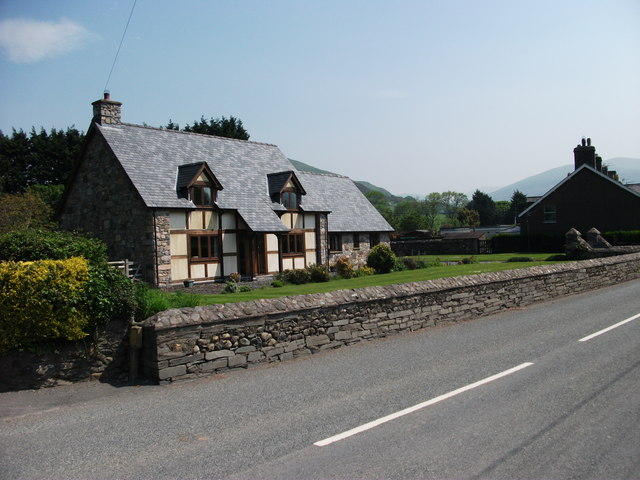
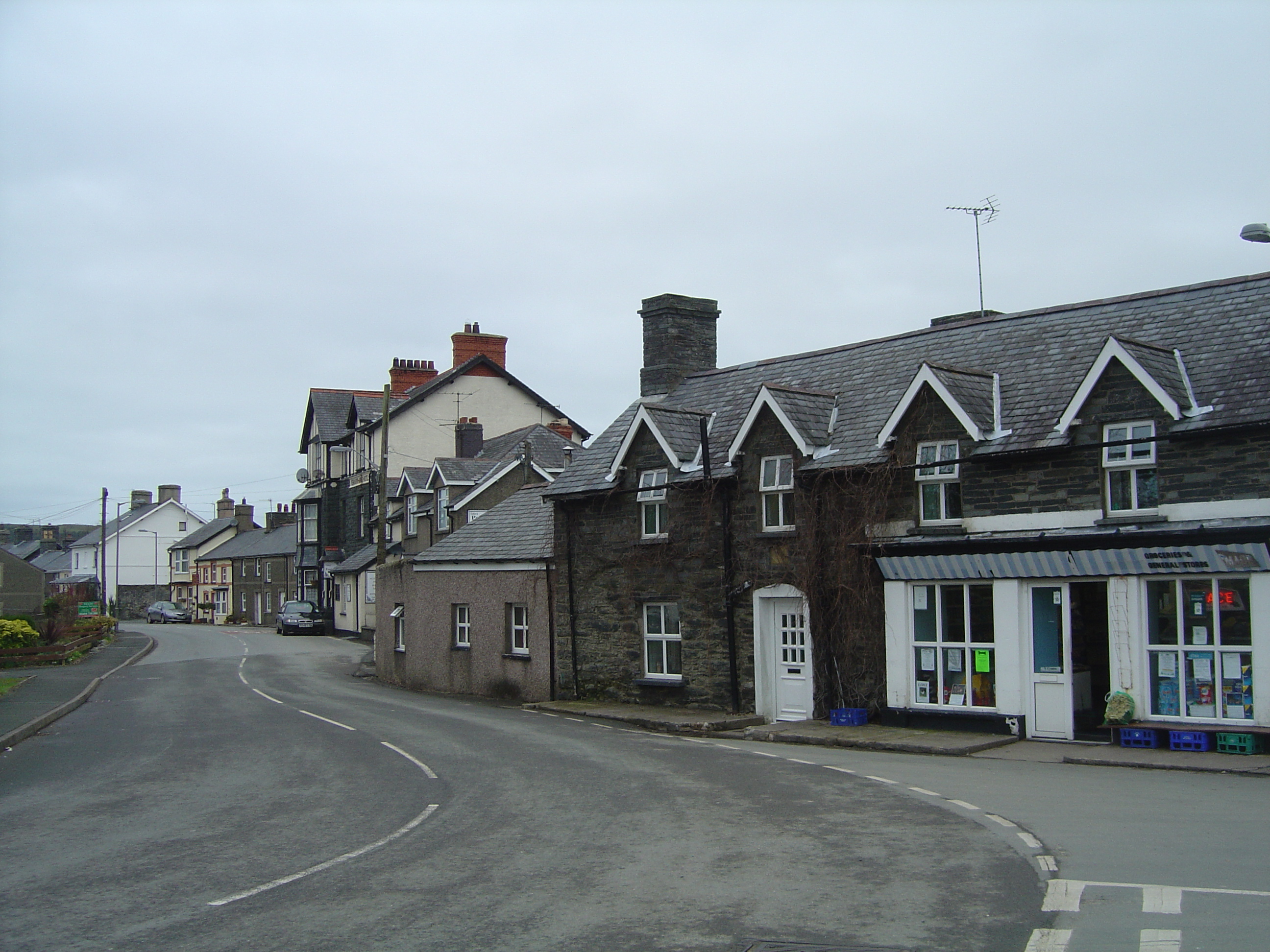
Despite its remote location, Ffridd Cocyn is easily accessible, with nearby towns and villages providing accommodation options and amenities for visitors. The tranquility and unspoiled beauty of the area make it a popular destination for those seeking a peaceful retreat away from the hustle and bustle of urban life.
Overall, Ffridd Cocyn in Merionethshire showcases the natural splendor and cultural heritage of Wales, making it a must-visit destination for nature enthusiasts and history buffs alike.
If you have any feedback on the listing, please let us know in the comments section below.
Ffridd Cocyn Images
Images are sourced within 2km of 52.61683/-4.031529 or Grid Reference SH6204. Thanks to Geograph Open Source API. All images are credited.
Ffridd Cocyn is located at Grid Ref: SH6204 (Lat: 52.61683, Lng: -4.031529)
Unitary Authority: Gwynedd
Police Authority: North Wales
What 3 Words
///waged.doors.those. Near Tywyn, Gwynedd
Nearby Locations
Related Wikis

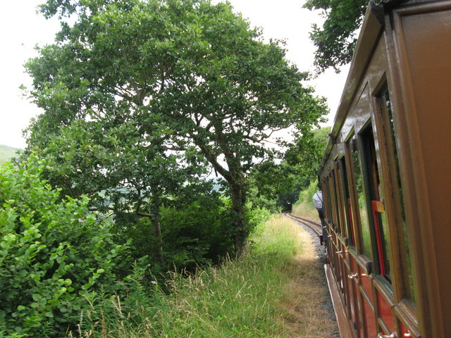
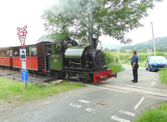
Brynglas railway station
Brynglas railway station (also known as Bryn-glas railway station) is a request stop on the Talyllyn Railway, serving the hamlet of Pandy near Bryn-crug...

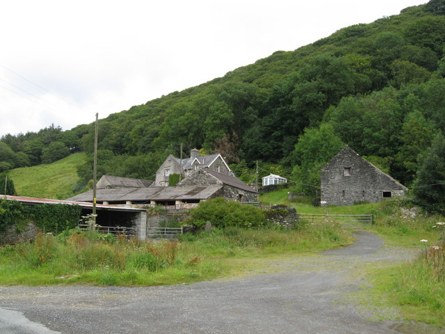
Abertrinant
Abertrinant is a small settlement in Gwynedd, Wales. It is 7 kilometres (4 mi) northeast of the town of Tywyn. == External links == www.geograph.co.uk...
Bryncrug
Bryncrug (), sometimes spelt Bryn-crug, is a village and community in Gwynedd, Wales. Afon Fathew flows through the village and into the River Dysynni...

Peniarth
Peniarth is a village in the community of Meifod, Powys, Wales. It is 87.1 miles (140.2 km) from Cardiff and 156.9 miles (252.5 km) from London. It is...

Rhydyronen railway station
Rhydyronen railway station (also known as Rhyd-yr-onen railway station) is a request stop on the Talyllyn Railway, near Tywyn, Gwynedd in mid-Wales. It...
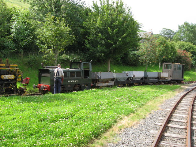
Dolgoch quarry, Gwynedd
Dolgoch slate quarry (also spelt Dol-goch slate quarry or Dol-gôch slate quarry) was a slate quarry in Mid Wales, approximately halfway between Bryn-crug...

Dolgoch railway station
Dolgoch railway station (also known as Dol-goch railway station, Dol-gôch railway station, or Dolgoch Falls railway station) is a station on the Talyllyn...

Dolgoch Falls
The Dolgoch Falls (also known as the Dol-goch falls, or the Dôl-goch falls (English: 'red meadow falls') are a series of three waterfalls near Tywyn in...
Nearby Amenities
Located within 500m of 52.61683,-4.031529Have you been to Ffridd Cocyn?
Leave your review of Ffridd Cocyn below (or comments, questions and feedback).