Great Down

Downs, Moorland in Devon North Devon

England

Great Down

Umberleigh place of worship The timber work is unusual for this area and seems more appropriate to Canada. The church is called The Church of the Good Shepherd.
Umberleigh place of worship Credit: Fiona Avis

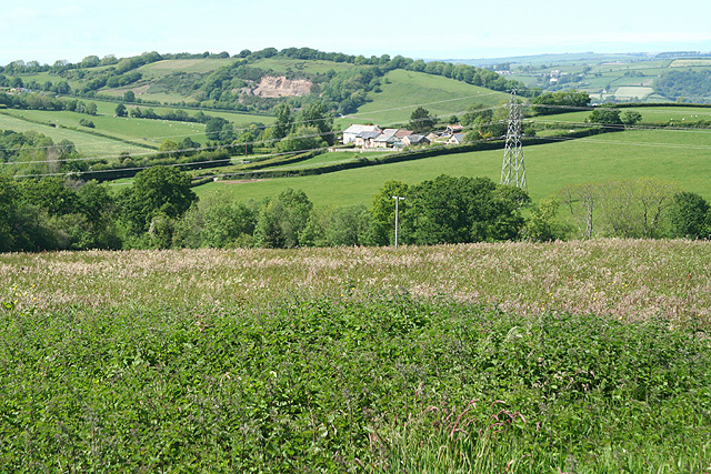
Great Down is a picturesque area located in the county of Devon, England. Situated in the southwest of the county, it is known for its stunning downs and moorland landscapes. Covering a vast expanse of approximately 200 square miles, Great Down offers visitors a unique and diverse natural experience.

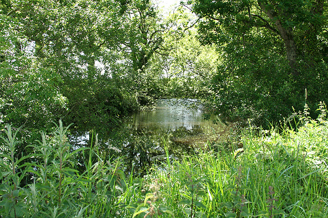
The area is characterized by rolling hills and expansive grasslands, which are interspersed with patches of heather and gorse. The downs provide a habitat for a variety of wildlife, including rare bird species such as the Dartford Warbler and the European Nightjar. The moorland is home to wild ponies and sheep, which freely graze on the abundant vegetation.

Great Down offers ample opportunities for outdoor activities and exploration. Hiking and walking trails crisscross the area, providing stunning views of the surrounding countryside. The downs are particularly popular with paragliders and hang gliders, who take advantage of the strong winds and wide open spaces.

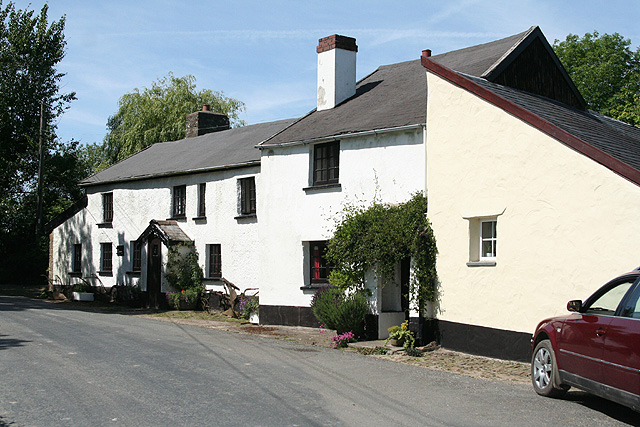
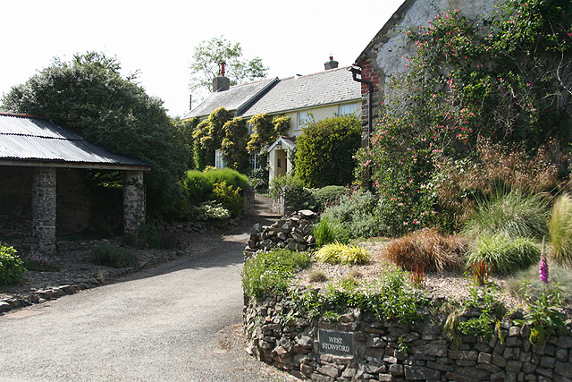
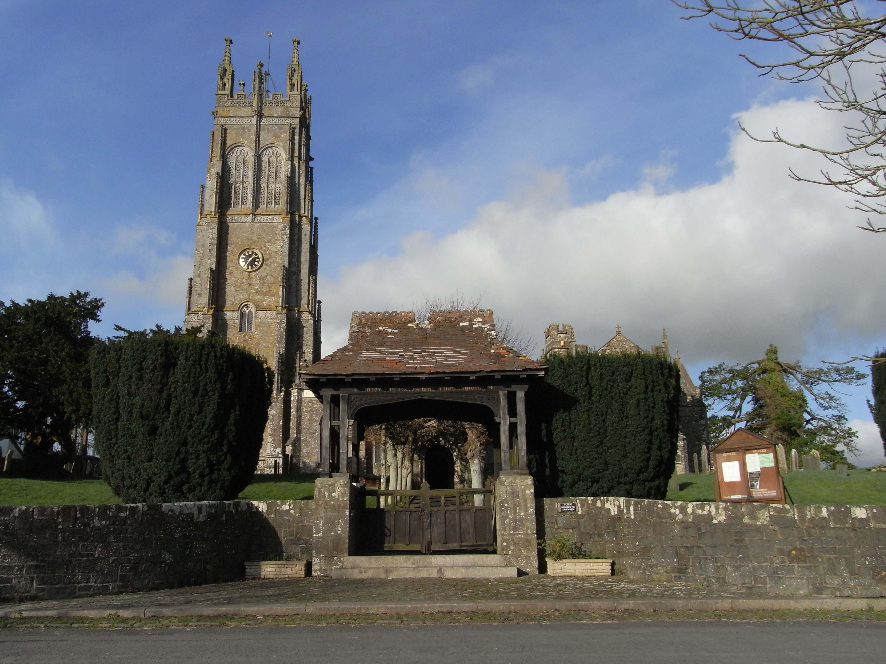
In addition to its natural beauty, Great Down is also home to several charming villages and historic sites. Visitors can explore quaint towns with thatched-roof cottages, local pubs, and traditional markets. There are also ancient burial sites and stone circles, which offer a glimpse into the area's rich history.

Overall, Great Down, Devon is a captivating destination for nature lovers and history enthusiasts alike. Its expansive downs and moorland, diverse wildlife, and charming villages make it a must-visit location for anyone seeking an authentic English countryside experience.

If you have any feedback on the listing, please let us know in the comments section below.
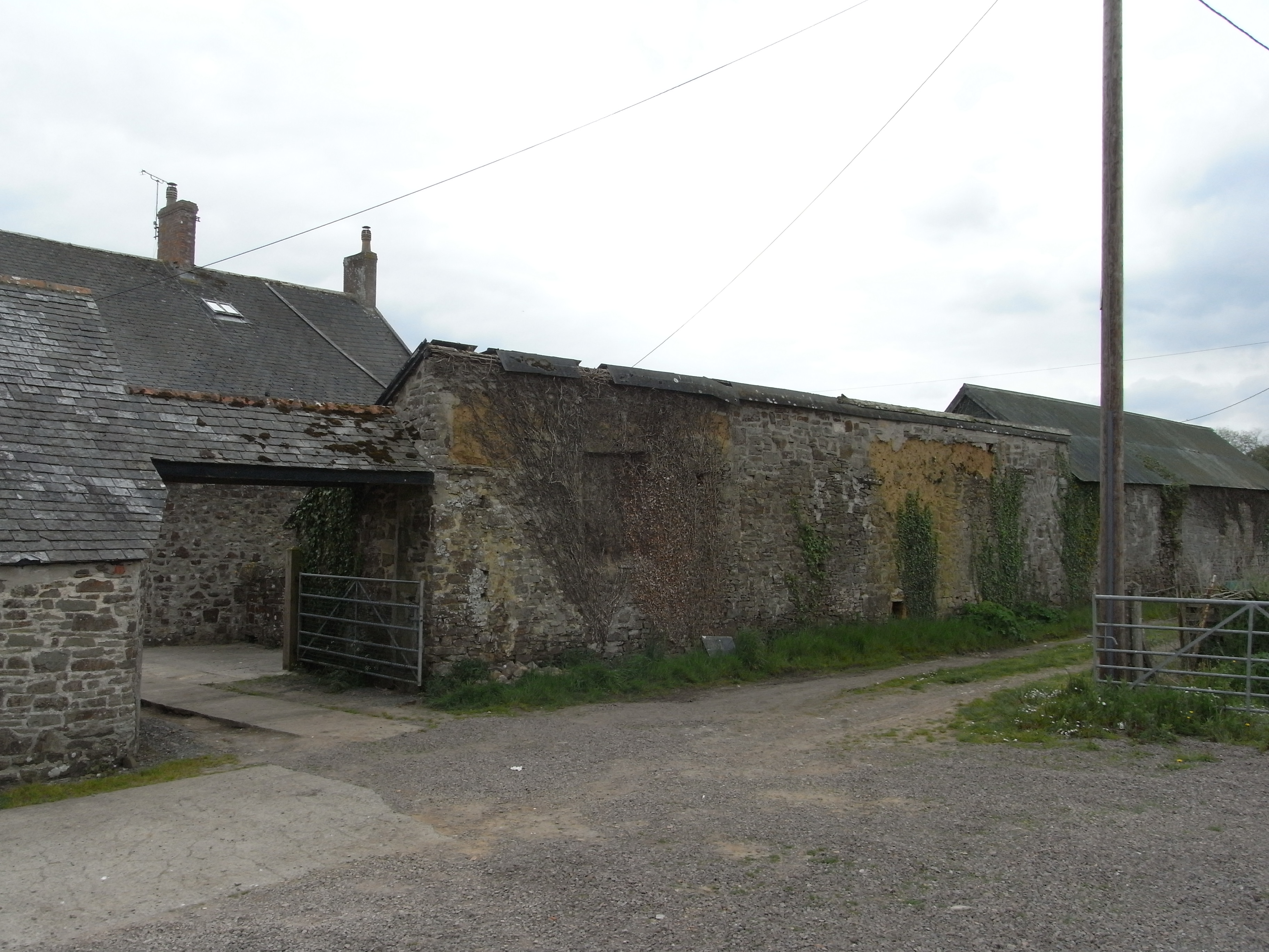
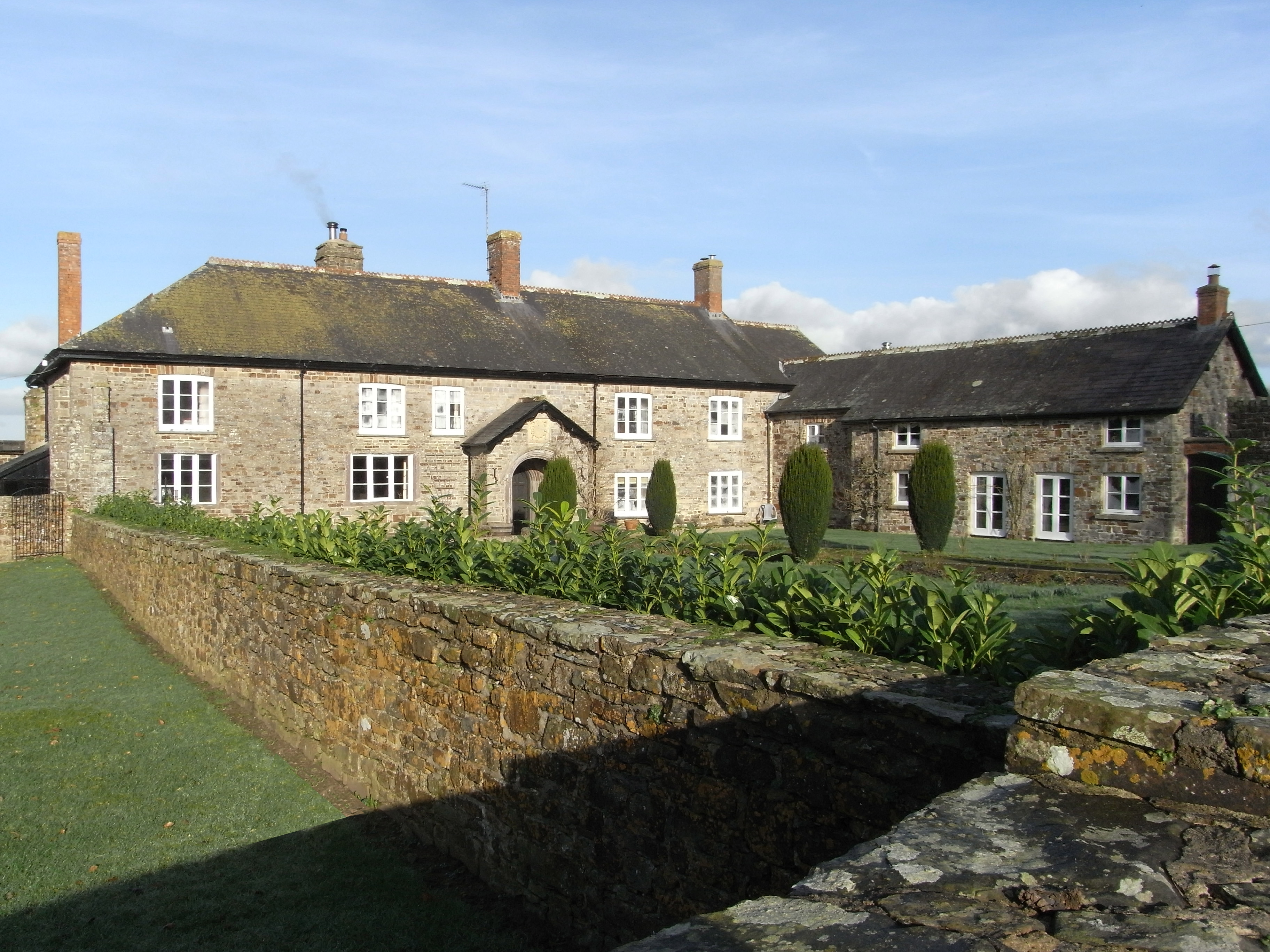
Great Down Images

Images are sourced within 2km of 51.018202/-3.9606614 or Grid Reference SS6226. Thanks to Geograph Open Source API. All images are credited.

Umberleigh place of worship The timber work is unusual for this area and seems more appropriate to Canada. The church is called The Church of the Good Shepherd.
Umberleigh place of worship
The timber work is unusual for this area and seems more appropriate to Canada. The church is called The Church of the Good Shepherd.
Chittlehampton: Ford Mill Two leats, running in neighbouring valleys, provided the water power at the mill which is now a private residence
Chittlehampton: Ford Mill
Two leats, running in neighbouring valleys, provided the water power at the mill which is now a private residence
Chittlehampton
Chittlehampton
Inside Cobbaton Combat Collection Cobbaton Combat Collection: A military museum which started as a hobby and got out of hand.
Inside Cobbaton Combat Collection
Cobbaton Combat Collection: A military museum which started as a hobby and got out of hand.
Swimbridge: towards Possession Cottage Looking north on Summer Moor
Swimbridge: towards Possession Cottage
Looking north on Summer Moor
Swimbridge: towards Wrimstone Looking north-north-west
Swimbridge: towards Wrimstone
Looking north-north-west
Swimbridge: the Old Traveller’s Rest Former inn on a road linking Chittlehampton and Barnstaple. Looking north-north-west
Swimbridge: the Old Traveller’s Rest
Former inn on a road linking Chittlehampton and Barnstaple. Looking north-north-west
Swimbridge: pond Looking west across the road from the Old Traveller’s Rest
Swimbridge: pond
Looking west across the road from the Old Traveller’s Rest
Swimbridge: entrance to Chuggaton Farm Looking west
Swimbridge: entrance to Chuggaton Farm
Looking west
Swimbridge: Polly Cottage At Stowford. Seen from the lane to Cobbaton, looking south
Swimbridge: Polly Cottage
At Stowford. Seen from the lane to Cobbaton, looking south
Swimbridge: West Stowford Seen from the lane to Cobbaton
Swimbridge: West Stowford
Seen from the lane to Cobbaton
Swimbridge: by Tower Moor Cross Looking west-south-west
Swimbridge: by Tower Moor Cross
Looking west-south-west
Swimbridge: East Stowford Track and public footpath to Heywood and Chittlehampton. Looking south-south-east
Swimbridge: East Stowford
Track and public footpath to Heywood and Chittlehampton. Looking south-south-east
Thatched Cottage in the countryside Rural Devon
Thatched Cottage in the countryside
Rural Devon
Biddacott A large 19th C Farmhouse on the outskirts of Chittlehampton
Biddacott
A large 19th C Farmhouse on the outskirts of Chittlehampton
Shimmering in the Sun Biddacott Cross, just poking out of the top of the hedge.
Shimmering in the Sun
Biddacott Cross, just poking out of the top of the hedge.
Pony near Hawkridge Brook This pony, no doubt weighing up the possibility that the photographer might have food, was on its own in a field in the valley of the Hawkridge Brook - a tributary of the River Taw.
Pony near Hawkridge Brook
This pony, no doubt weighing up the possibility that the photographer might have food, was on its own in a field in the valley of the Hawkridge Brook - a tributary of the River Taw.
Lane across Hawkridge Brook This typically narrow Devon lane winds its way down to Hawkridge Brook which is crossed just before the lane turns to the left. High voltage power lines cross here, but are out of shot.
Lane across Hawkridge Brook
This typically narrow Devon lane winds its way down to Hawkridge Brook which is crossed just before the lane turns to the left. High voltage power lines cross here, but are out of shot.
Show me another place!

Great Down is located at Grid Ref: SS6226 (Lat: 51.018202, Lng: -3.9606614)

Administrative County: Devon

District: North Devon

Police Authority: Devon and Cornwall

What 3 Words

///making.jaundice.bride. Near South Molton, Devon

Related Wikis

Chittlehampton

Chittlehampton is a village and civil parish in the North Devon district of Devon, England. The parish is surrounded clockwise from the north by the parishes...

Hawkridge, Chittlehampton

Hawkridge in the parish of Chittlehampton in North Devon, England, is an historic estate, anciently the seat of a junior branch of the Acland family which...

Hudscott

Hudscott is a historic estate within the parish and former manor of Chittlehampton, Devon. From 1700 it became a seat of a junior branch of the influential...

Umberleigh railway station

Umberleigh railway station serves the village of Umberleigh in Devon, England. It is on the Tarka Line to Barnstaple, 33 miles 22 chains (53.6 km) from...

Umberleigh

Umberleigh is a former large manor within the historic hundred of (North) Tawton, but today a small village in North Devon in England. It used to be an...

Holy Trinity Chapel, Umberleigh

The Chapel of the Holy Trinity at Umberleigh is a ruinous mediaeval chapel in north Devon, England, largely demolished according to Lysons (1822) in about...

Brightley, Chittlehampton

Brightley was historically the principal secondary estate within the parish and former manor of Chittlehampton in the county of Devon, England, situated...

Swimbridge

Swimbridge (historical spelling: Swymbridge) is a village, parish and former manor in Devon, England. It is situated 4 miles (6.4 km) south-east of Barnstaple...

Nearby Amenities

Located within 500m of 51.018202,-3.9606614
Addr Housename: Sewage Pumping Station
Lat/Long: 51.0182225/-3.9671777
Power: tower
Lat/Long: 51.0155705/-3.9647763
Power: tower
Lat/Long: 51.0189969/-3.9551632
Power: tower
Lat/Long: 51.0175486/-3.9591266
Stowford
Place: hamlet
Lat/Long: 51.0217183/-3.9613879
Upcott Regis
Lat/Long: 51.0216766/-3.9620758
Post Box
Lat/Long: 51.0214645/-3.9615028
Power: pole
Lat/Long: 51.0182617/-3.9672929
The data included in this document is from www.openstreetmap.org. The data is made available under ODbL.

Have you been to Great Down?

Leave your review of Great Down below (or comments, questions and feedback).