Am Bacan
Hill, Mountain in Perthshire
Scotland
Am Bacan
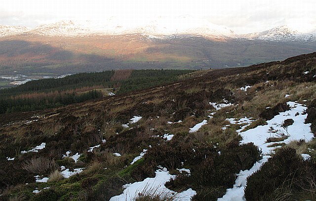
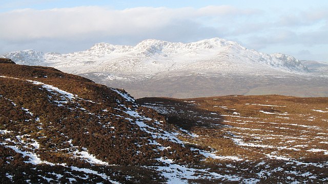
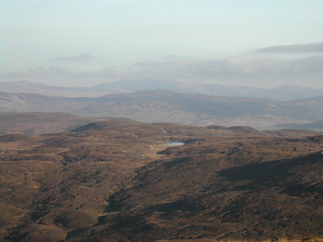
Am Bacan is a prominent hill located in the picturesque region of Perthshire, Scotland. Sitting at an elevation of approximately 576 meters (1,890 feet), it offers breathtaking panoramic views of the surrounding landscape. The hill is situated near the village of Aberfeldy, making it easily accessible for outdoor enthusiasts and nature lovers.
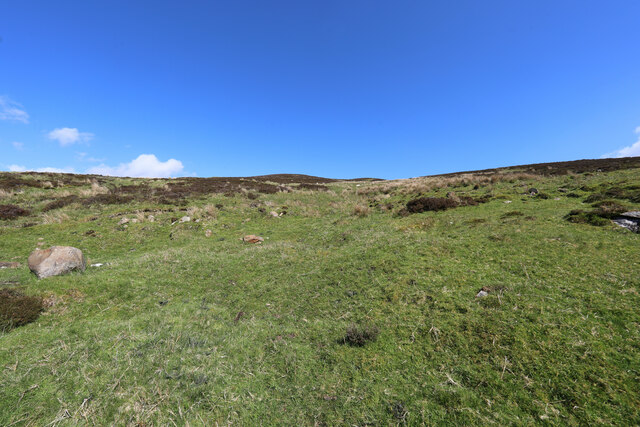
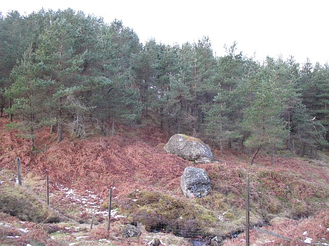
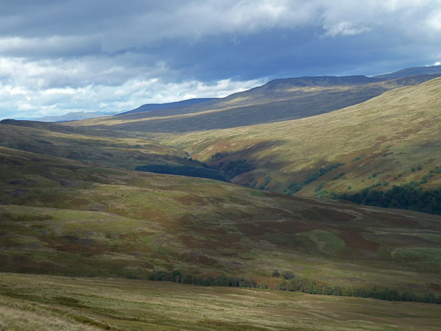
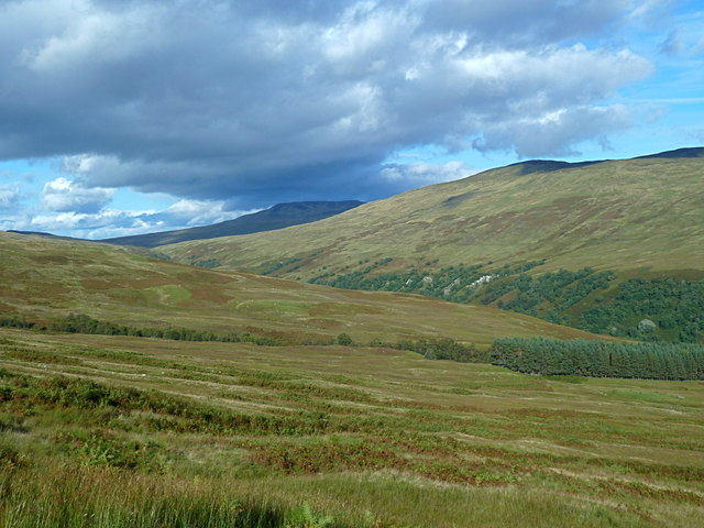
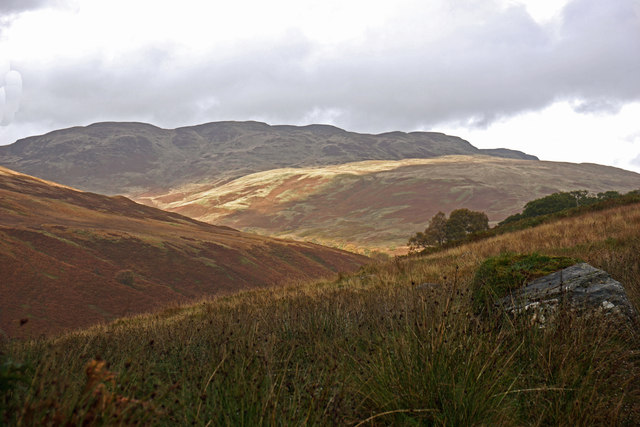
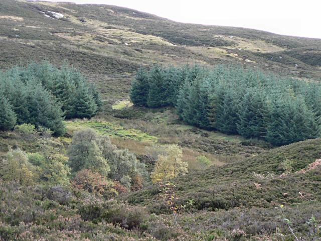
Am Bacan is characterized by its gently sloping sides and distinctive shape, resembling a pyramid or cone from a distance. It is primarily composed of rocky outcrops and heather-covered terrain, with scattered patches of woodland adding to its natural beauty. The hill is part of a larger network of hills and mountains in the area, making it a popular destination for hikers and climbers.
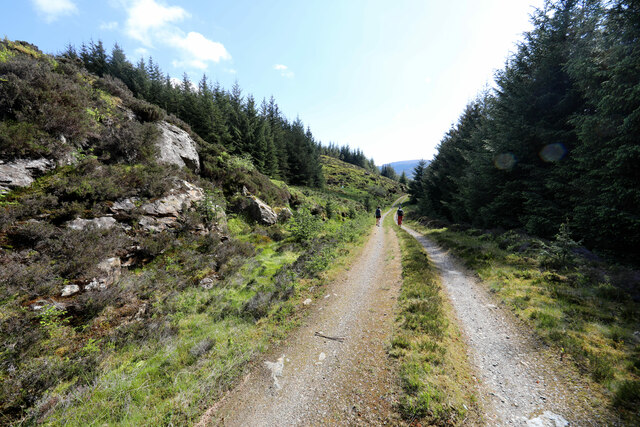
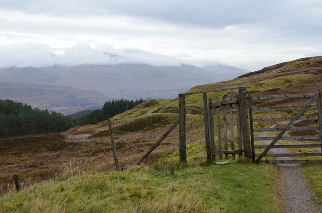
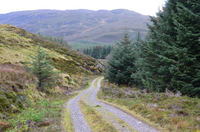
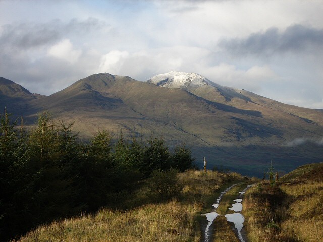
A well-marked trail leads to the summit of Am Bacan, providing a moderate level of challenge for visitors. The path is relatively straightforward, although sturdy footwear is advisable due to the uneven terrain. Along the way, walkers can enjoy the sights and sounds of the Highland countryside, including diverse flora and fauna.
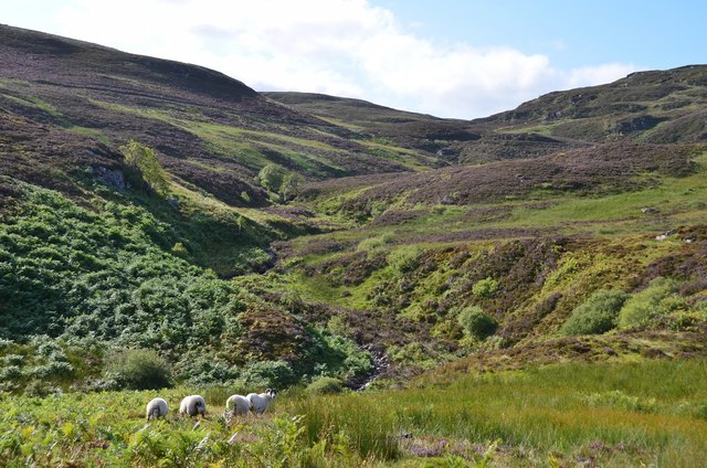
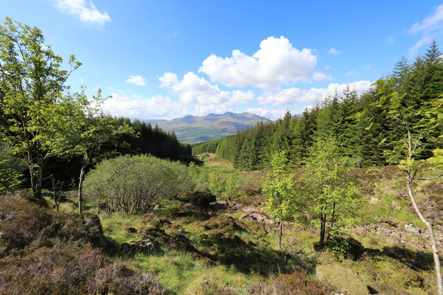
Reaching the top of Am Bacan rewards hikers with breathtaking views of the surrounding Perthshire countryside. On a clear day, one can see the rolling hills, shimmering lochs, and distant mountain peaks. The summit also offers an excellent vantage point for observing local wildlife, such as red deer, golden eagles, and mountain hares.
Overall, Am Bacan presents an opportunity for outdoor enthusiasts to engage in a rewarding and scenic hike, while immersing themselves in the natural beauty of Perthshire's landscape.
If you have any feedback on the listing, please let us know in the comments section below.
Am Bacan Images
Images are sourced within 2km of 56.436483/-4.2601462 or Grid Reference NN6029. Thanks to Geograph Open Source API. All images are credited.
Am Bacan is located at Grid Ref: NN6029 (Lat: 56.436483, Lng: -4.2601462)
Unitary Authority: Stirling
Police Authority: Forth Valley
What 3 Words
///collected.town.briefing. Near Comrie, Perth & Kinross
Nearby Locations
Related Wikis

Rob Roy Way
The Rob Roy Way is a Scottish long distance footpath that runs from Drymen in Stirling to Pitlochry in Perth and Kinross. The path was created in 2002...

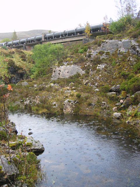
Glen Ogle
Glen Ogle (Scottish Gaelic: Gleann Ogail) extends 7 miles north westwards from Lochearnhead to Lix Toll, where it opens into Glen Dochart. The Ogle Burn...
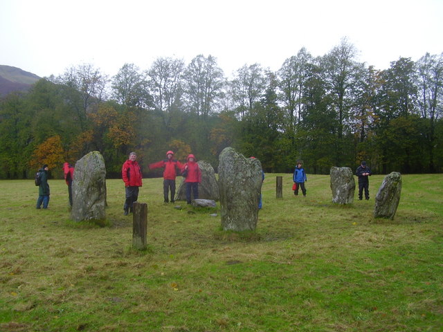
Killin Stone Circle
Killin Stone Circle (or Kinnell Stone Circle) is a prehistoric stone circle situated at the west end of Loch Tay near the village of Killin, Stirling,...

Inchbuie
Inchbuie (Scottish Gaelic: Innis Bhuidhe, 'yellow island') is an island of the River Dochart, near Killin. A bridge links it with both riverbanks, just...

Falls of Dochart
The Falls of Dochart (Scottish Gaelic:Eas Dochart) are a cascade of waterfalls situated on the River Dochart at Killin in Perthshire, Scotland, near the...

Killin
Killin (; Scottish Gaelic: Cill Fhinn) is a village in Perthshire in the central Highlands of Scotland. Situated at the western head of Loch Tay, it is...

Glenoglehead railway station
Glenoglehead was a railway station located at the head of Glen Ogle, Stirling district, Scotland. It was situated on a remote mountainside, some 3 miles...
Killin railway station
Killin railway station was a railway station located at Killin, Stirling. == History == Opened on 1 April 1886, the station comprised a single platform...
Have you been to Am Bacan?
Leave your review of Am Bacan below (or comments, questions and feedback).