Lochan nan Geadas
Lake, Pool, Pond, Freshwater Marsh in Perthshire
Scotland
Lochan nan Geadas

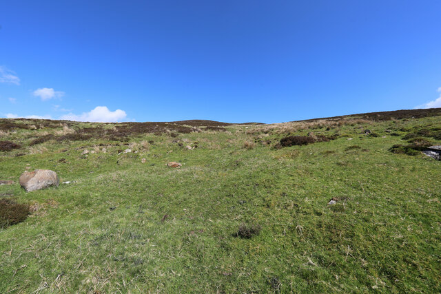
Lochan nan Geadas is a picturesque freshwater loch situated in Perthshire, Scotland. Nestled amidst the stunning landscape of the Scottish Highlands, this natural water body offers a tranquil and scenic retreat for visitors seeking a peaceful escape.
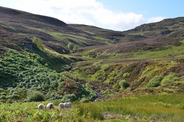
Covering an area of approximately 5 hectares, Lochan nan Geadas is surrounded by rolling hills and lush greenery, creating a serene backdrop for nature enthusiasts and photographers. The loch's crystal-clear waters are fed by small streams and springs, ensuring a constant flow of fresh water and creating a haven for a diverse range of aquatic flora and fauna.
The lochan is home to various species of fish, including brown trout, which attract fishing enthusiasts from near and far. Anglers can often be seen casting their lines from the shores of the loch, hoping to catch a prized trout. Additionally, the loch provides a vital habitat for numerous bird species, including waterfowl such as swans and ducks, which can be spotted gracefully gliding across the water's surface.
Surrounding the loch is a thriving freshwater marsh, characterized by vibrant plant life such as reeds, sedges, and water lilies. This marshland creates a rich and biodiverse ecosystem, attracting a plethora of wildlife, including amphibians, insects, and small mammals.
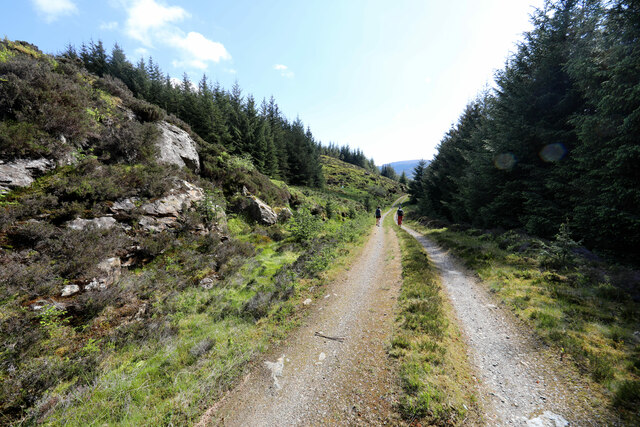
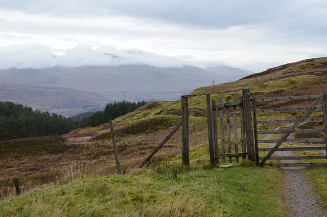
Lochan nan Geadas offers a variety of recreational opportunities for visitors, including walking trails that wind through the surrounding countryside, allowing visitors to fully immerse themselves in the natural beauty of the area. Whether it's fishing, bird-watching, or simply enjoying the peaceful ambiance, Lochan nan Geadas is a hidden gem that promises a serene and rejuvenating experience for all who venture to its shores.
If you have any feedback on the listing, please let us know in the comments section below.
Lochan nan Geadas Images
Images are sourced within 2km of 56.438556/-4.2711707 or Grid Reference NN6029. Thanks to Geograph Open Source API. All images are credited.


Lochan nan Geadas is located at Grid Ref: NN6029 (Lat: 56.438556, Lng: -4.2711707)
Unitary Authority: Stirling
Police Authority: Forth Valley
What 3 Words
///stepping.shipyards.rich. Near Pubil, Perth & Kinross
Nearby Locations
Related Wikis

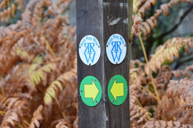
Rob Roy Way
The Rob Roy Way is a Scottish long distance footpath that runs from Drymen in Stirling to Pitlochry in Perth and Kinross. The path was created in 2002...
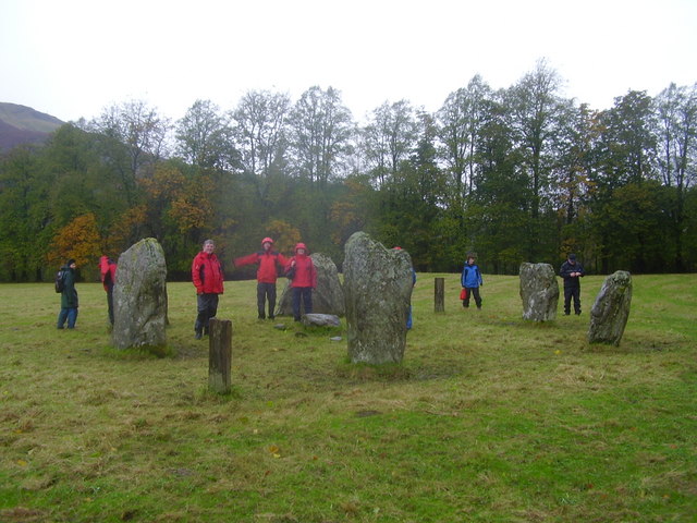
Killin Stone Circle
Killin Stone Circle (or Kinnell Stone Circle) is a prehistoric stone circle situated at the west end of Loch Tay near the village of Killin, Stirling,...

Inchbuie
Inchbuie (Scottish Gaelic: Innis Bhuidhe, 'yellow island') is an island of the River Dochart, near Killin. A bridge links it with both riverbanks, just...

Falls of Dochart
The Falls of Dochart (Scottish Gaelic:Eas Dochart) are a cascade of waterfalls situated on the River Dochart at Killin in Perthshire, Scotland, near the...

Killin
Killin (; Scottish Gaelic: Cill Fhinn) is a village in Perthshire in the central Highlands of Scotland. Situated at the western head of Loch Tay, it is...

Glen Ogle
Glen Ogle (Scottish Gaelic: Gleann Ogail) extends 7 miles north westwards from Lochearnhead to Lix Toll, where it opens into Glen Dochart. The Ogle Burn...

Glenoglehead railway station
Glenoglehead was a railway station located at the head of Glen Ogle, Stirling district, Scotland. It was situated on a remote mountainside, some 3 miles...
Killin railway station
Killin railway station was a railway station located at Killin, Stirling. == History == Opened on 1 April 1886, the station comprised a single platform...
Have you been to Lochan nan Geadas?
Leave your review of Lochan nan Geadas below (or comments, questions and feedback).