Marshalltown Hill

Hill, Mountain in Kirkcudbrightshire

Scotland

Marshalltown Hill

Cally Wood Edge of the woodland near to Cally Mains.
Cally Wood Credit: Richard Webb

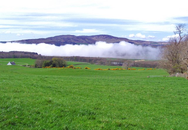
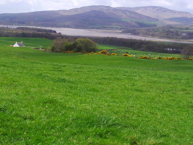
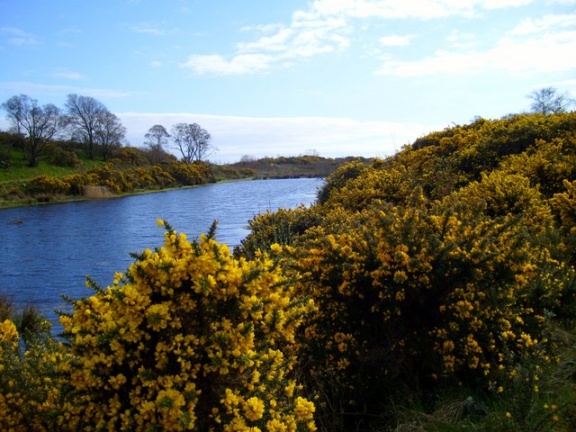
Marshalltown Hill is a prominent geographical feature located in Kirkcudbrightshire, Scotland. Situated near the town of Kirkcudbright, this hill offers breathtaking views of the surrounding landscape and is a popular destination for outdoor enthusiasts and nature lovers.

Rising to a height of approximately 200 meters (656 feet), Marshalltown Hill is a relatively small but picturesque hill. Its summit provides panoramic views of the rolling countryside, the nearby Solway Firth, and the distant hills of Galloway. On a clear day, visitors can even catch a glimpse of the Lake District in England.

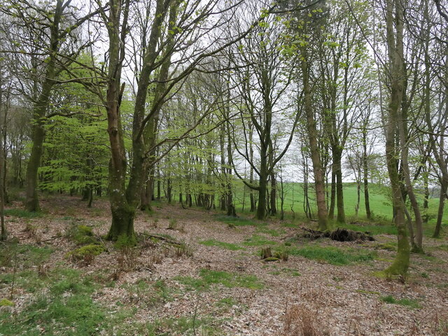
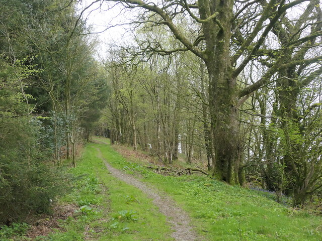
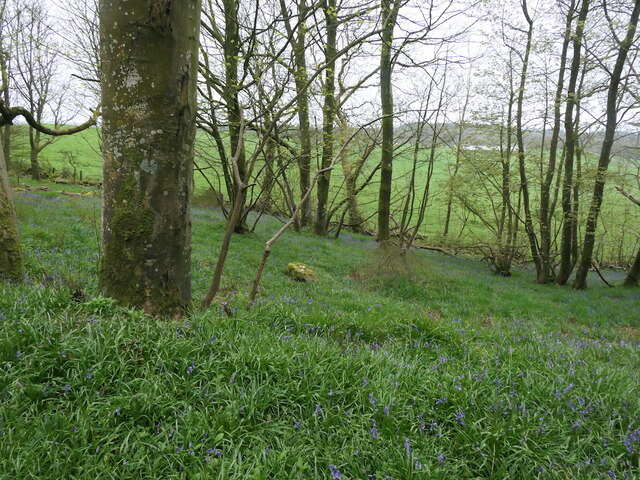
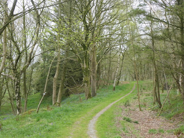
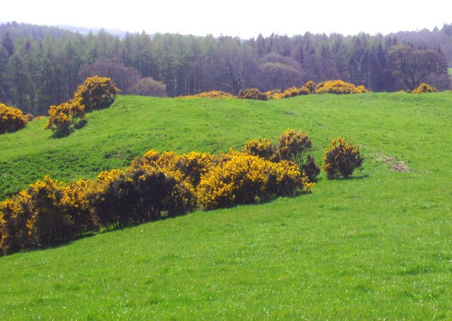
The hill is accessible via a well-maintained footpath that winds its way up through a charming mix of woodland and open grassland. The diverse flora and fauna found along the trail make it a delight for botany enthusiasts and birdwatchers. Wildflowers, including bluebells and primroses, bloom abundantly in the spring, creating a colorful tapestry.

Marshalltown Hill is also known for its historical significance. The remains of an Iron Age hillfort can be found near the summit, serving as a reminder of the area's ancient past. Archaeological excavations have uncovered evidence of human settlement dating back thousands of years.

Visitors to Marshalltown Hill can enjoy a leisurely hike, a peaceful picnic, or simply take in the tranquility and natural beauty of the surroundings. The hill offers a serene escape from the hustle and bustle of everyday life, making it a favorite spot for locals and tourists alike.

If you have any feedback on the listing, please let us know in the comments section below.

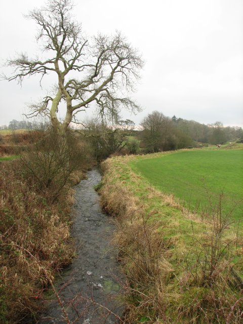
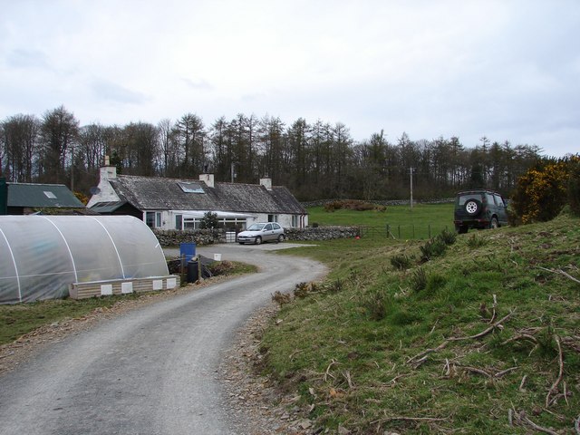
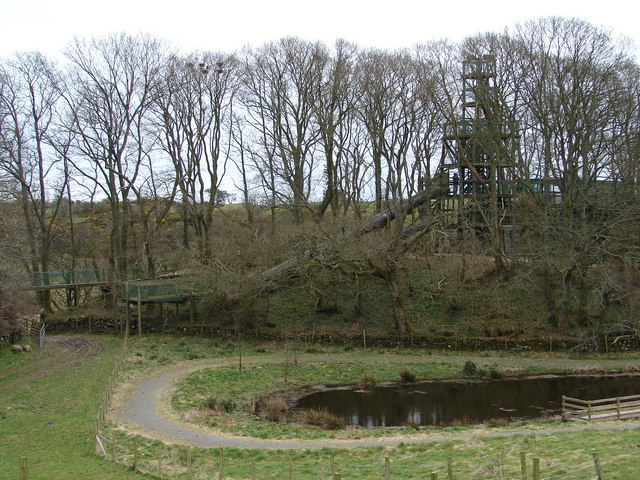
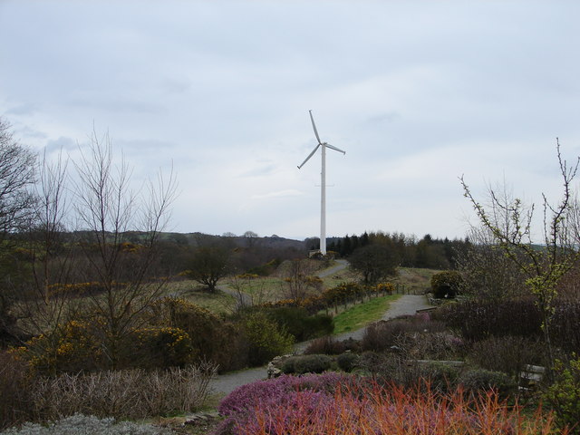
Marshalltown Hill Images

Images are sourced within 2km of 54.850374/-4.1703938 or Grid Reference NX6052. Thanks to Geograph Open Source API. All images are credited.

Cally Wood Edge of the woodland near to Cally Mains.
Cally Wood
Edge of the woodland near to Cally Mains.
Track on Bar Hill Becomes a newly surfaced road further on.
Track on Bar Hill
Becomes a newly surfaced road further on.
Bar Hill Plantation Part of the Cally woodlands.
Bar Hill Plantation
Part of the Cally woodlands.
Path on Bar Hill It has been modernised a short distance to the east.
Path on Bar Hill
It has been modernised a short distance to the east.
Boreland Burn Small burn viewed from a bridge on the Clauchan to Sandgreen road.
Boreland Burn
Small burn viewed from a bridge on the Clauchan to Sandgreen road.
Syllodioch Syllodioch cottage near Girthon. Behind is Syllodioch Wood, part of the Galloway Forest Park.
Syllodioch
Syllodioch cottage near Girthon. Behind is Syllodioch Wood, part of the Galloway Forest Park.
Cream o' Galloway, Rainton Ice Cream Parlour, tearoom, adventure playground, farm, dog walks, nature trails and cycle paths. All you need now is some warm weather!
Cream o' Galloway, Rainton
Ice Cream Parlour, tearoom, adventure playground, farm, dog walks, nature trails and cycle paths. All you need now is some warm weather!
Cream o’ Galloway - Adventure Playground Adventure playground at Cream o' Galloway, Rainton.
Cream o’ Galloway - Adventure Playground
Adventure playground at Cream o' Galloway, Rainton.
Cream o’ Galloway – Wind Turbine Cream o' Galloway own wind turbine, online April 2008.
Cream o’ Galloway – Wind Turbine
Cream o' Galloway own wind turbine, online April 2008.
Fields adjacent to Bar Hill Woods These fields lie next to Bar Hill Woods. Across the field, to the left, is the cottage, Cuffieton.  In the middle distance one can see Cally Mains farm.  A low-lying cloud hugs the River Fleet.  The highest of the distant hills is Cairnharrow.  To the left, and in front, are Barholm Hill, Ben John and Mill Knock.
Fields adjacent to Bar Hill Woods
These fields lie next to Bar Hill Woods. Across the field, to the left, is the cottage, Cuffieton. In the middle distance one can see Cally Mains farm. A low-lying cloud hugs the River Fleet. The highest of the distant hills is Cairnharrow. To the left, and in front, are Barholm Hill, Ben John and Mill Knock.
The edge of Bar Hill Woods This is the southern edge of Bar Hill Woods.  In the far distance the A75 can be seen as it crosses the River Fleet.
The edge of Bar Hill Woods
This is the southern edge of Bar Hill Woods. In the far distance the A75 can be seen as it crosses the River Fleet.
Undulating land to the south of Bar Hill Woods Standing on the edge of Bar Hill Woods, this is the view southwards, over the undulating fields, towards Syllodioch Woods.
Undulating land to the south of Bar Hill Woods
Standing on the edge of Bar Hill Woods, this is the view southwards, over the undulating fields, towards Syllodioch Woods.
Edge of Bar Hill Woods Dead bracken lies at the edge of Bar Hill Woods.  Across the fields is Laundry Wood and beyond that is the Fleet estuary.
Edge of Bar Hill Woods
Dead bracken lies at the edge of Bar Hill Woods. Across the fields is Laundry Wood and beyond that is the Fleet estuary.
Fields adjacent to Bar Hill Woods These fields lie between Bar Hill Woods and the Fleet estuary.  Cally Mains farm can be seen amongst the trees in the middle distance.
Fields adjacent to Bar Hill Woods
These fields lie between Bar Hill Woods and the Fleet estuary. Cally Mains farm can be seen amongst the trees in the middle distance.
Fields overlooking the Fleet estuary These fields border Bar Hill Woods. The little cottage, Cuffieton, is to the left and Cally Mains farm is just visible in the trees to the right.
Fields overlooking the Fleet estuary
These fields border Bar Hill Woods. The little cottage, Cuffieton, is to the left and Cally Mains farm is just visible in the trees to the right.
Small loch near Plunton Mains
Girthon Church, Galloway Ruins of Girthon Church
Girthon Church, Galloway
Ruins of Girthon Church
Man-made Loch Man-made loch in the grounds of the Cream of Galloway visitor centre
Man-made Loch
Man-made loch in the grounds of the Cream of Galloway visitor centre
Show me another place!

Marshalltown Hill is located at Grid Ref: NX6052 (Lat: 54.850374, Lng: -4.1703938)

Unitary Authority: Dumfries and Galloway

Police Authority: Dumfries and Galloway

What 3 Words

///resemble.denim.covers. Near Kirkcudbright, Dumfries & Galloway

Nearby Locations

Bar Hill Marshalltown Hill

Related Wikis

Girthon Old Parish Church

Girthon Old Parish Church is a ruined ecclesiastical building in Girthon, near Gatehouse of Fleet in Dumfries and Galloway. Built around 1620 on the foundations...

Plunton Castle

Plunton Castle is a ruined L-plan tower house between Kirkandrews and Gatehouse of Fleet in Dumfries and Galloway, Scotland. Built around 1575 for the...

Cally Palace

Cally Palace, formerly known as Cally House, is an 18th-century country house in the historical county of Kirkcudbrightshire in Dumfries and Galloway...

Cardoness Castle

Cardoness Castle is a well-preserved 15th-century tower house just south west of Gatehouse of Fleet, in the historical county of Kirkcudbrightshire in...

Have you been to Marshalltown Hill?

Leave your review of Marshalltown Hill below (or comments, questions and feedback).