Allt Maenderyn
Hill, Mountain in Caernarfonshire
Wales
Allt Maenderyn

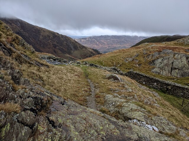
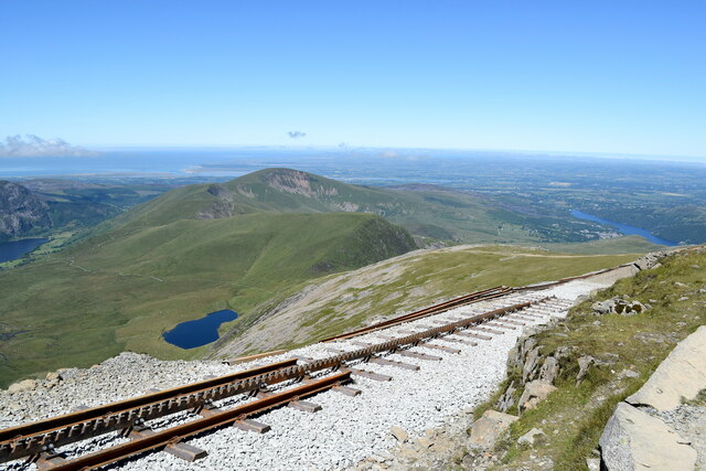
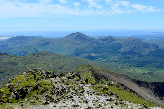
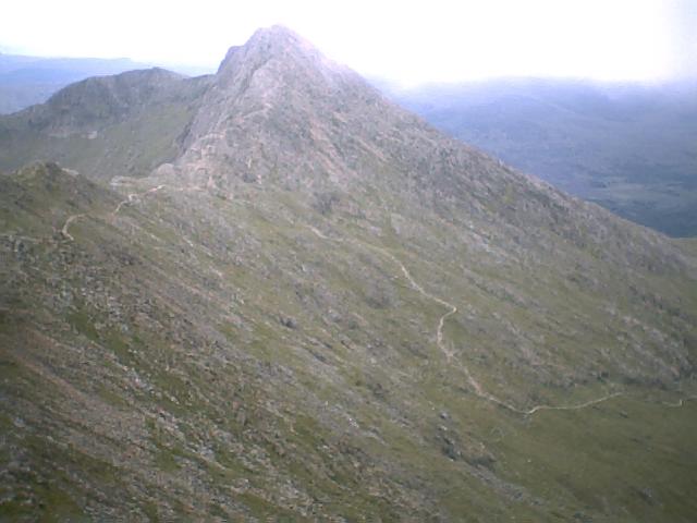
Allt Maenderyn is a prominent hill located in Caernarfonshire, a historic county in northwest Wales. Rising to an elevation of 329 meters (1,079 feet), it is classified as a mountain in the region. Situated within the Snowdonia National Park, Allt Maenderyn provides breathtaking panoramic views of the surrounding picturesque landscape.
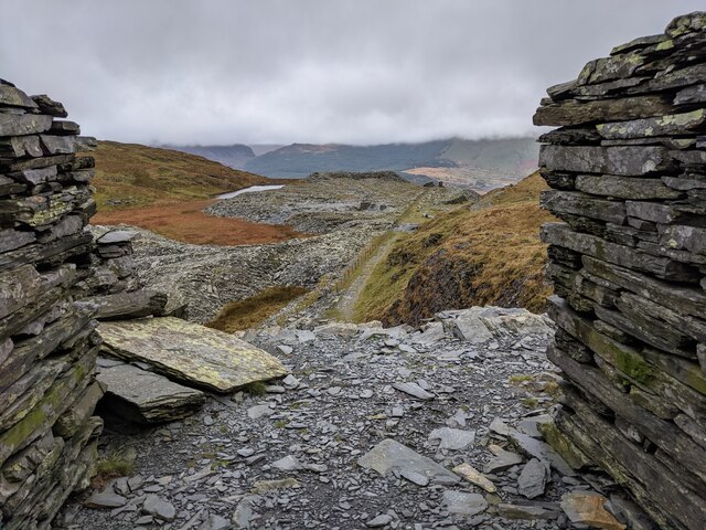
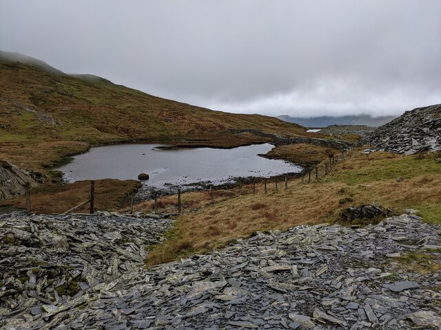
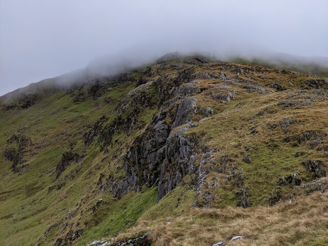
The hill is composed mainly of sedimentary rocks, with a distinctive rugged and rocky terrain. It is covered in a variety of vegetation, including heather, grasses, and mosses, which add to its natural beauty. The hill is also home to a diverse array of wildlife, including birds, small mammals, and insects.
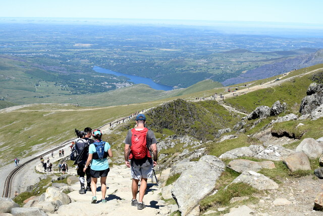
Allt Maenderyn offers numerous hiking and walking trails, attracting outdoor enthusiasts and nature lovers throughout the year. One popular route is the circular path that starts at the nearby village of Rhyd Ddu, winding its way up the hill and offering stunning vistas along the way. The ascent can be moderately challenging, with some steep sections, but the rewarding views from the summit make it well worth the effort.
The hill is steeped in local history and folklore, with ancient burial sites and ruins scattered throughout the area. It is said to be a place of mythical significance, with tales of legendary figures and ancient rituals associated with the hill.
Allt Maenderyn is not only a natural landmark but also a cultural treasure, cherished by locals and visitors alike for its scenic beauty, recreational opportunities, and rich heritage.
If you have any feedback on the listing, please let us know in the comments section below.
Allt Maenderyn Images
Images are sourced within 2km of 53.054184/-4.0835493 or Grid Reference SH6052. Thanks to Geograph Open Source API. All images are credited.


Allt Maenderyn is located at Grid Ref: SH6052 (Lat: 53.054184, Lng: -4.0835493)
Unitary Authority: Gwynedd
Police Authority: North Wales
What 3 Words
///each.wanted.bookings. Near Llanberis, Gwynedd
Nearby Locations
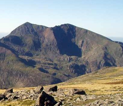
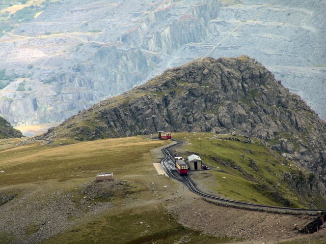
Related Wikis

Yr Aran
Yr Aran is a mountain peak on a ridge radiating south from Snowdon, Wales' highest mountain, with beautiful views of the summit of Snowdon, Moel Hebog...
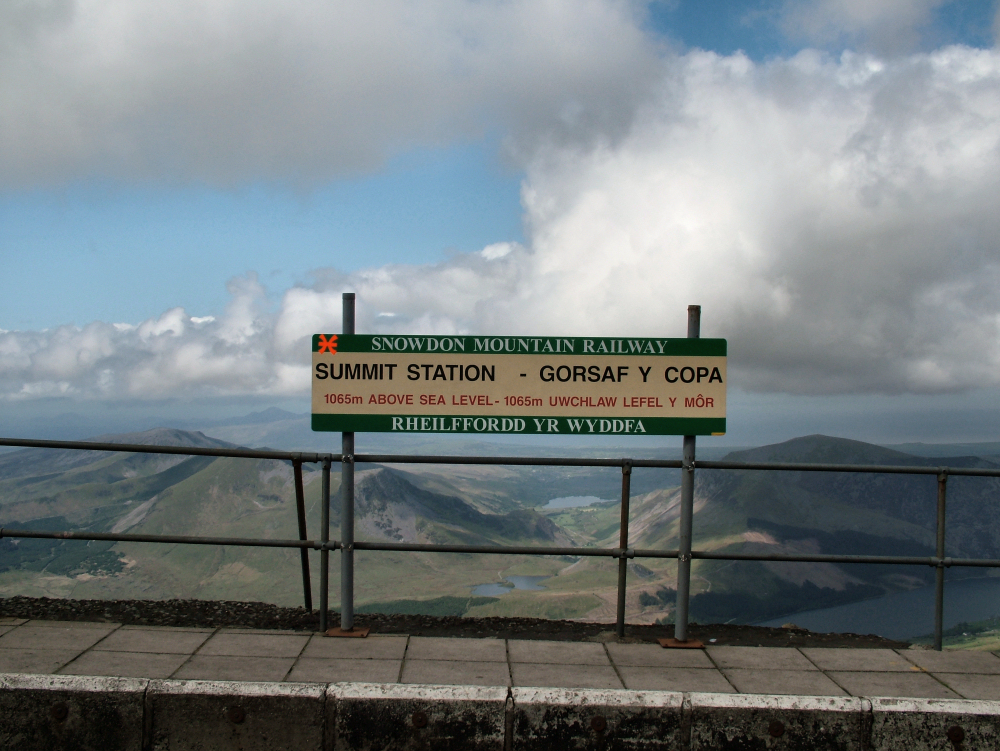
Summit railway station (Snowdon Mountain Railway)
The Summit railway station is the southern, upper terminus of the Snowdon Mountain Railway, located within yards of the summit of Snowdon. In 2009 a new...

Snowdon
Snowdon (), or Yr Wyddfa (pronounced [ər ˈʊɨ̞̯ðva] ), is the highest mountain in Wales, at an elevation of 1,085 metres (3,560 ft) above sea level, and...
Y Lliwedd
Y Lliwedd is a mountain, connected to Snowdon in the Snowdonia National Park, North Wales. Its summit lies 898 metres (2,946 ft) above sea level. The eastern...

Y Lliwedd East Peak
Y Lliwedd East Peak is the twin top of Y Lliwedd in the Snowdonia National Park, North Wales. It is only 5 metres shorter than the main summit of Y Lliwedd...
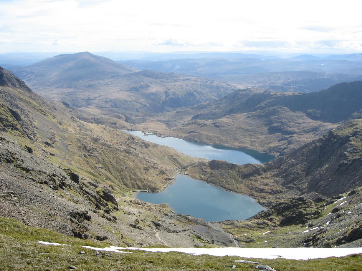
Glaslyn
Glaslyn (Welsh for 'Blue lake') is a lake in the Snowdonia National Park in Gwynedd, north-west Wales. == Geography == It is found at approximately 600...
Garnedd Ugain
Garnedd Ugain, often referred to as "Crib-y-Ddysgl", is a pyramidal mountain in Wales that forms part of the Snowdon Massif. It is the second-highest peak...
Llechog
Llechog is a top of Garnedd Ugain on the Snowdon massif in Wales. It is the top of a long crest of cliffs that start in Llanberis and finishes on Garnedd...
Nearby Amenities
Located within 500m of 53.054184,-4.0835493Have you been to Allt Maenderyn?
Leave your review of Allt Maenderyn below (or comments, questions and feedback).