Bar of Barlay

Hill, Mountain in Kirkcudbrightshire

Scotland

Bar of Barlay

Largoes Moor The road to Gatehouse of Fleet south of Bridge of Laghead.
Largoes Moor Credit: Richard Webb

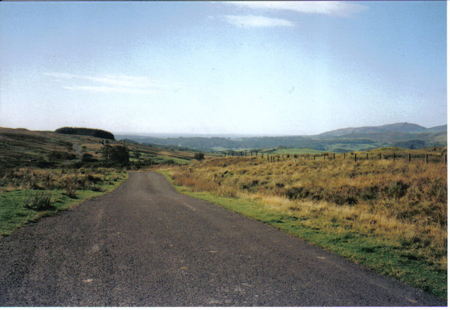
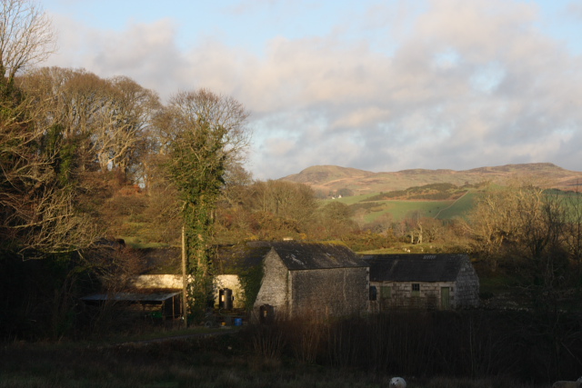
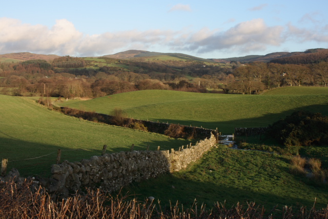
Bar of Barlay is a hill located in Kirkcudbrightshire, Scotland. It is situated near the village of Kirkpatrick Durham and offers stunning views of the surrounding countryside. The hill is part of the Southern Uplands, a range of hills and mountains that run across southern Scotland.

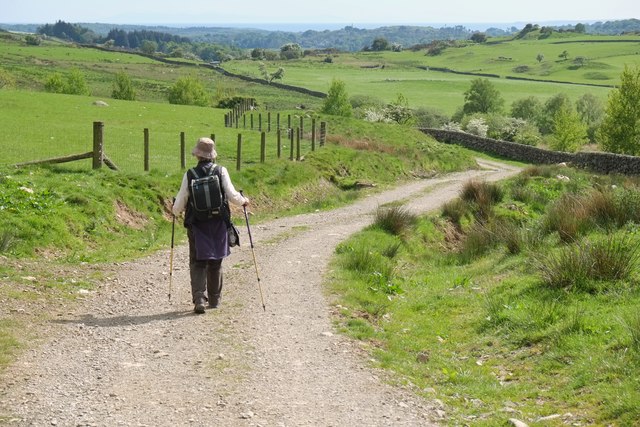
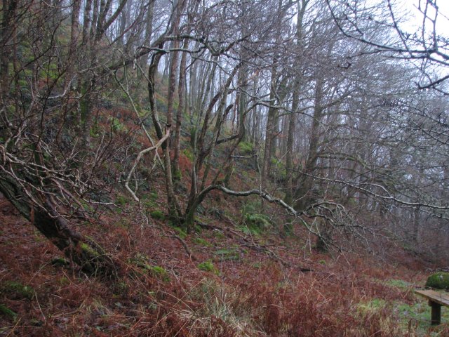
Bar of Barlay is approximately 1,300 feet high and is a popular destination for hikers and outdoor enthusiasts. The hill is known for its rugged terrain, with rocky outcrops and steep slopes making it a challenging but rewarding climb.

The summit of Bar of Barlay offers panoramic views of the Galloway Forest Park and the Solway Firth, making it a popular spot for photographers and nature lovers. The hill is also home to a variety of wildlife, including red deer, grouse, and birds of prey.

Overall, Bar of Barlay is a picturesque and peaceful destination for those looking to escape the hustle and bustle of everyday life and immerse themselves in the natural beauty of the Scottish countryside.

If you have any feedback on the listing, please let us know in the comments section below.

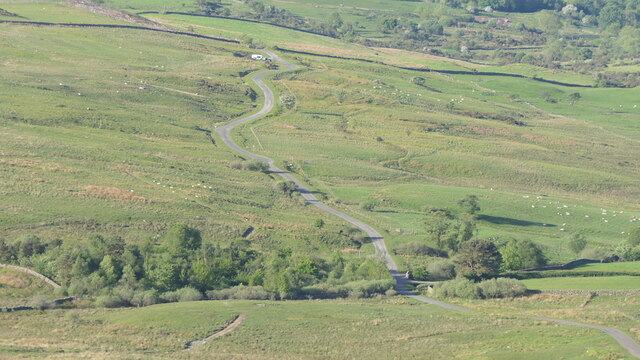
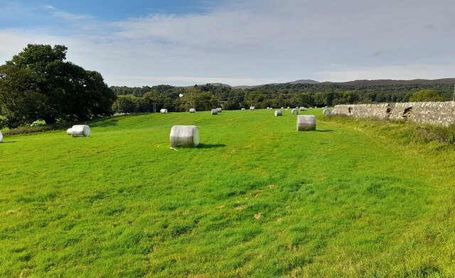
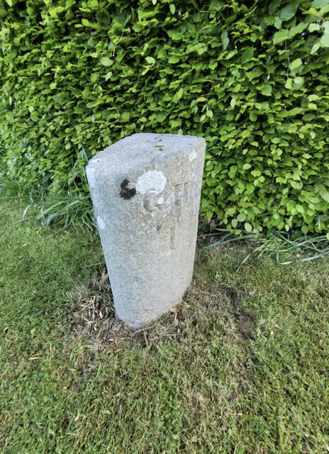
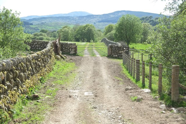
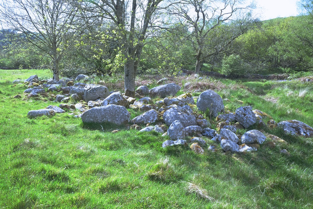
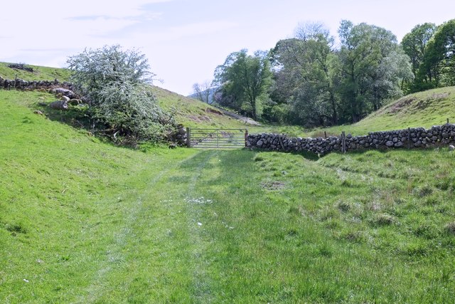
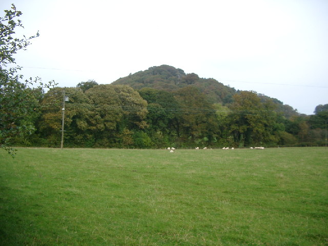
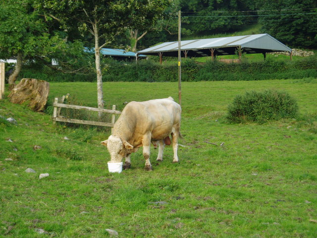
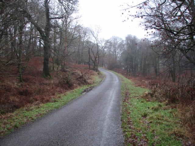
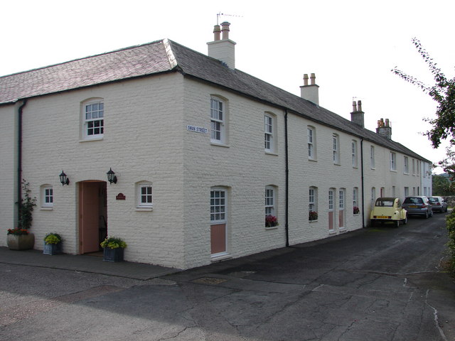
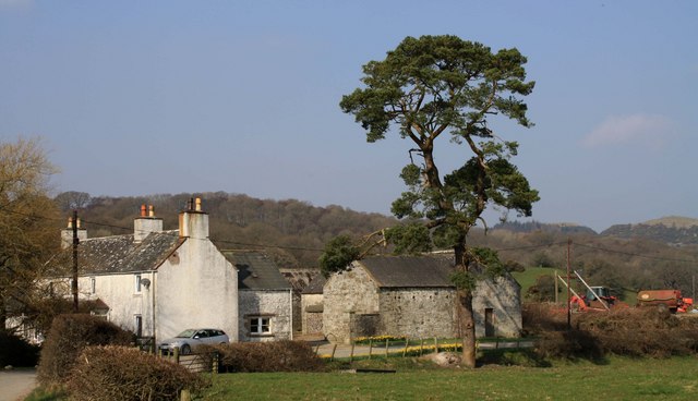
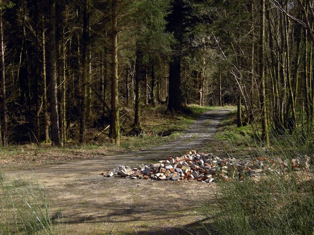
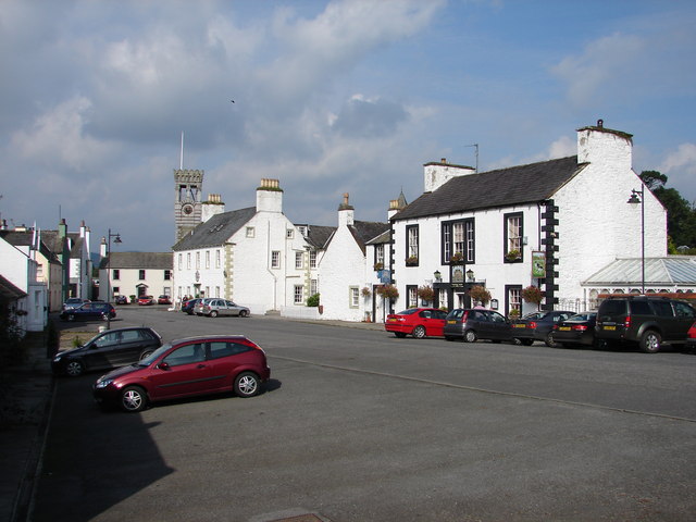
Bar of Barlay Images

Images are sourced within 2km of 54.901498/-4.1780731 or Grid Reference NX6058. Thanks to Geograph Open Source API. All images are credited.

Largoes Moor The road to Gatehouse of Fleet south of Bridge of Laghead.
Largoes Moor
The road to Gatehouse of Fleet south of Bridge of Laghead.
Grassland near Gatehouse of Fleet Hay bales near Gatehouse of Fleet. The boundary wall of the graveyard to the right.
Grassland near Gatehouse of Fleet
Hay bales near Gatehouse of Fleet. The boundary wall of the graveyard to the right.
Old Milestone by the B796, Goatend, Anwoth parish Milestone by the B796, in parish of Anwoth (Stewartry District), Goatend, on grass in front of farm, West side of road. See also: NX5857 : Old milestone

Inscription reads:-
: DSⁿ / 5½ : : GH / 1 :
(To Dromore Station and Gatehouse of Fleet)

Surveyed

Milestone Society National ID: DG_GFDST01
Old Milestone by the B796, Goatend, Anwoth parish
Milestone by the B796, in parish of Anwoth (Stewartry District), Goatend, on grass in front of farm, West side of road. See also: NX5857 : Old milestone Inscription reads:- : DSⁿ / 5½ : : GH / 1 : (To Dromore Station and Gatehouse of Fleet) Surveyed Milestone Society National ID: DG_GFDST01
Public path To Carstramon Wood
Public path
To Carstramon Wood
Exit Gate Laghead
Exit Gate
Laghead
Stone collection Presumably boulders cleared from nearby farmland.
Stone collection
Presumably boulders cleared from nearby farmland.
Between Brad Hill and Doon Hill
Doon of Castramont Part of Castramont Woods Wildlife Reserve, Gatehouse of Fleet.
Doon of Castramont
Part of Castramont Woods Wildlife Reserve, Gatehouse of Fleet.
Unclassified road This road over the moors from Laurieston is , at this point, dropping down towards Gatehouse of Fleet. The greener, gentler landscape can be seen in the far distance.
Unclassified road
This road over the moors from Laurieston is , at this point, dropping down towards Gatehouse of Fleet. The greener, gentler landscape can be seen in the far distance.
Pulcree Farm buildings at Pulcree.
Pulcree
Farm buildings at Pulcree.
Fleet Valley near Low Barlay View over fields close and the site of a Roman Fortlet, taken from the roadside at Goatend.
Fleet Valley near Low Barlay
View over fields close and the site of a Roman Fortlet, taken from the roadside at Goatend.
Entrance to Low Creoch, Gatehouse of Fleet.
Beef dinner at Low Creoch, Gatehouse of Fleet.
Woodland, Doon of Castramont Mixed woodland on a steep hillside in Castramont Wood.  A couple of charcoal platforms are preserved near this location telling of a previous use for the woodland, now a nature reserve.
Woodland, Doon of Castramont
Mixed woodland on a steep hillside in Castramont Wood. A couple of charcoal platforms are preserved near this location telling of a previous use for the woodland, now a nature reserve.
Road at Castramont
Road at Castramont
Swan Street, Gatehouse of Fleet An angled terrace (continued around corner at top) of early C19 brick-building mill-workers housing, of good quality compared with the utilitarian houses in nearby Birtwhistle Street. All now refurbished with the corner/end houses conjoined.
Swan Street, Gatehouse of Fleet
An angled terrace (continued around corner at top) of early C19 brick-building mill-workers housing, of good quality compared with the utilitarian houses in nearby Birtwhistle Street. All now refurbished with the corner/end houses conjoined.
Goatend Farm Goatend Farm near Gatehouse.
Goatend Farm
Goatend Farm near Gatehouse.
Glassnoch Wood Rubble dumped beside a track through Glassnoch Wood.
Glassnoch Wood
Rubble dumped beside a track through Glassnoch Wood.
Show me another place!

Bar of Barlay is located at Grid Ref: NX6058 (Lat: 54.901498, Lng: -4.1780731)

Unitary Authority: Dumfries and Galloway

Police Authority: Dumfries and Galloway

What 3 Words

///clocked.coasting.cherished. Near Kirkcudbright, Dumfries & Galloway

Related Wikis

Gatehouse of Fleet

Gatehouse of Fleet (Scots: Gatehoose o Fleet Scottish Gaelic: Taigh an Rathaid) is a town half in the civil parish of Girthon and half in the parish of...

Gatehouse of Fleet Town Hall

Gatehouse of Fleet Town Hall is a former municipal building in the High Street in Gatehouse of Fleet, Dumfries and Galloway, Scotland. The structure, which...
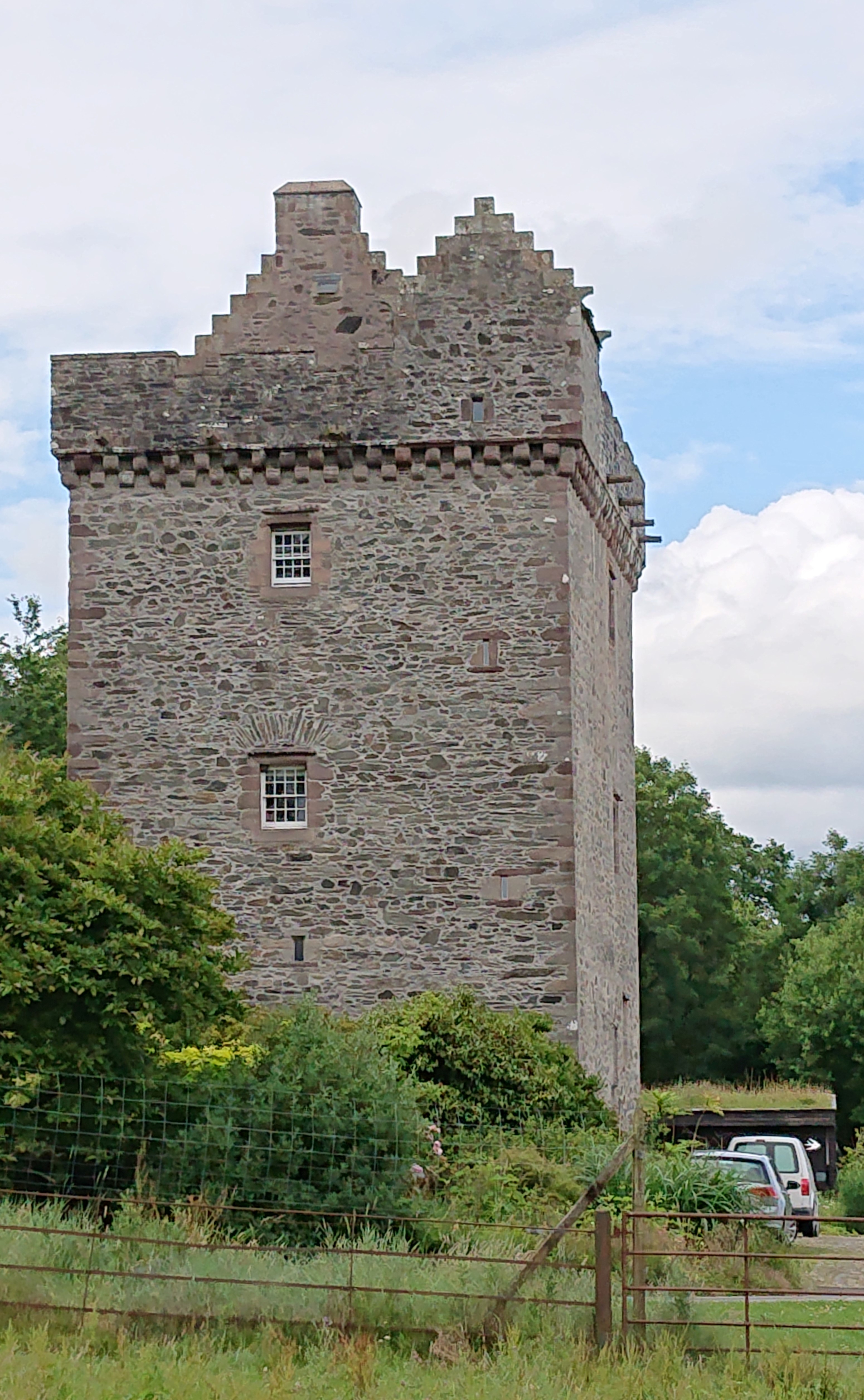
Rusco Tower

Rusco Tower, sometimes called Rusco Castle, is a tower house near Gatehouse of Fleet in Dumfries and Galloway, Scotland. Built around 1500 for Mariota...

Trusty's Hill

Trusty's Hill is a small vitrified hillfort about a mile to the west of the present-day town of Gatehouse of Fleet, in the parish of Anwoth in the Stewartry...

Nearby Amenities

Located within 500m of 54.901498,-4.1780731
The data included in this document is from www.openstreetmap.org. The data is made available under ODbL.

Have you been to Bar of Barlay?

Leave your review of Bar of Barlay below (or comments, questions and feedback).